The best mountain hikes around Bischofsheim an der Rhön
4.0
(7)
26
hikers
8
hikes
Mountaineering routes around Bischofsheim an der Rhön traverse the varied landscapes of the Rhön Biosphere Reserve, characterized by rolling hills, dense forests, and open plateaus. The region features volcanic formations and prominent peaks like Kreuzberg and Wasserkuppe, offering diverse terrain for ascents and descents. These routes often lead through mixed woodlands and past natural springs, providing a range of elevation changes suitable for mountaineering.
Best mountaineering routes around Bischofsheim an der Rhön
- The most popular mountaineering route is Marienbrünnlein –…
Last updated: July 15, 2026
5.0
(2)
6
hikers
13.6km
04:12
490m
490m
Moderate mountaineering route. Good fitness required. Easily-accessible paths. Suitable for all skill levels.
5.0
(3)
7
hikers
7.75km
02:27
290m
290m
Moderate mountaineering route. Good fitness required. Mostly accessible paths. Sure-footedness required.

Sign up for free
3
hikers
7.31km
02:05
170m
170m
Moderate mountaineering route. Good fitness required. Easily-accessible paths. Suitable for all skill levels.
5.0
(1)
3
hikers
4.18km
01:23
190m
190m
Moderate mountaineering route. Great for any fitness level. Mostly accessible paths. Sure-footedness required.
2
hikers
Moderate mountaineering route. Good fitness required. Easily-accessible paths. Suitable for all skill levels.
Get access to more routes and recommendations from other explorers.
Sign up for free
Already have an account?
Our route recommendations are based on thousands of hikes, rides, and runs completed by other people on komoot.
Start today with a free account
Your next adventure awaits.
Login or Signup
Popular around Bischofsheim an der Rhön
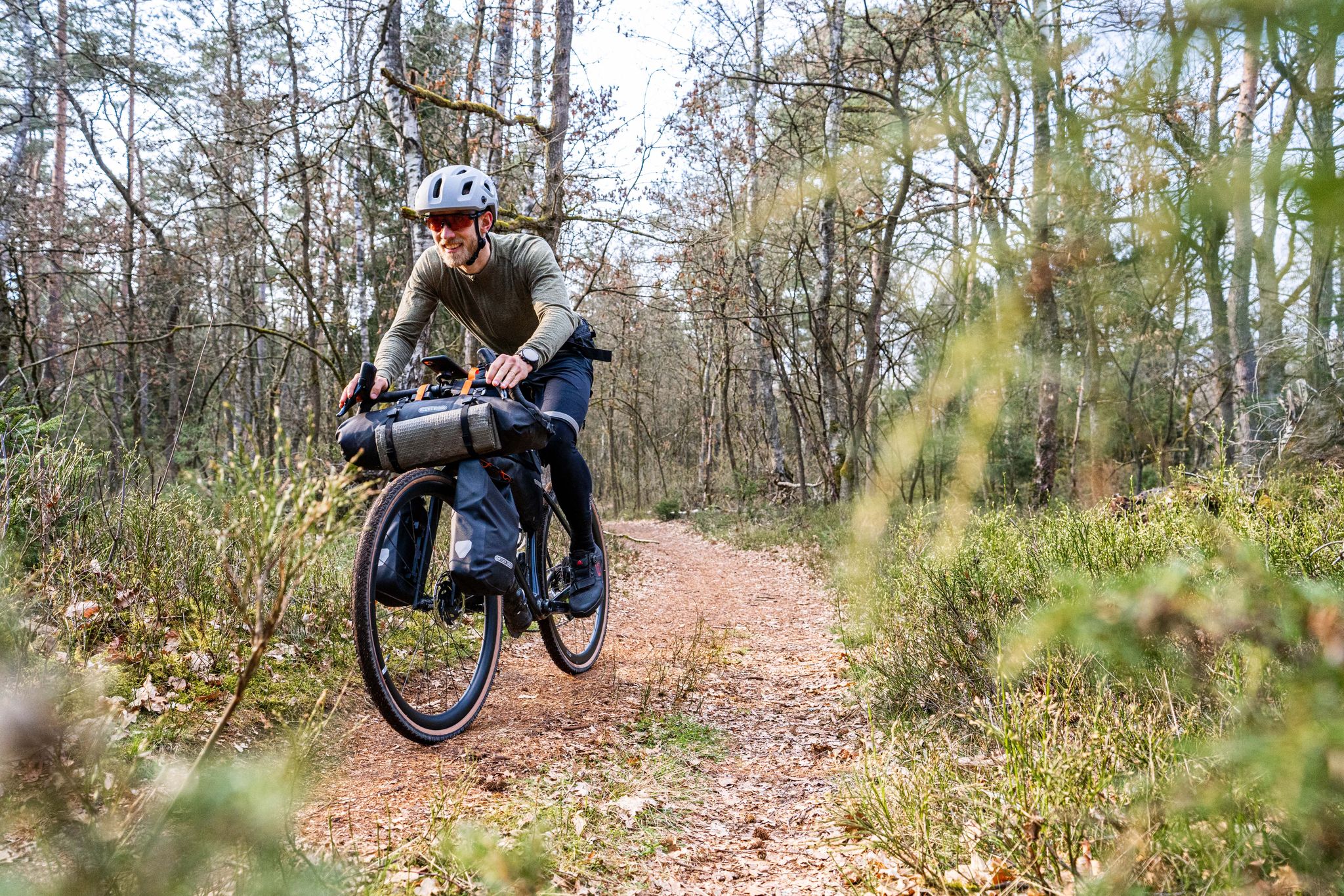
Gravel bikepacking from Hamburg to Munich
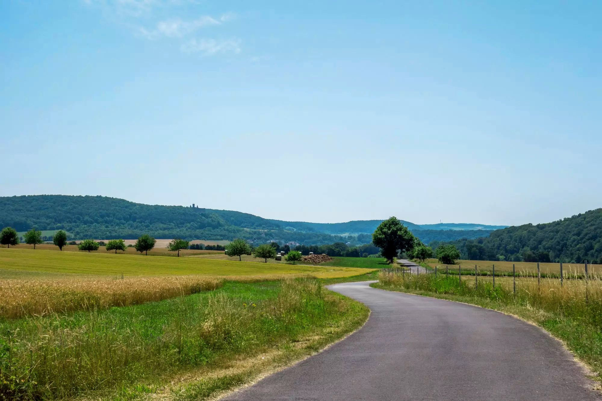
Rhön Cycleway in Germany – Cycling in the Land of Open Distances

Stages of the HOCHRHÖNER Premium Hiking Trail

Extra tours South - Excellent premium hiking trails of the Rhön

Wonderful Green Band

Hike Germany’s Rhön Mountains on the Hochrhöner Trail
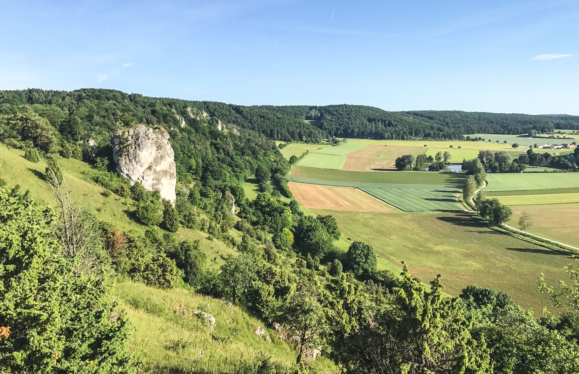
Between Altmühltal & Spruce Mountains – hiking in Franconia
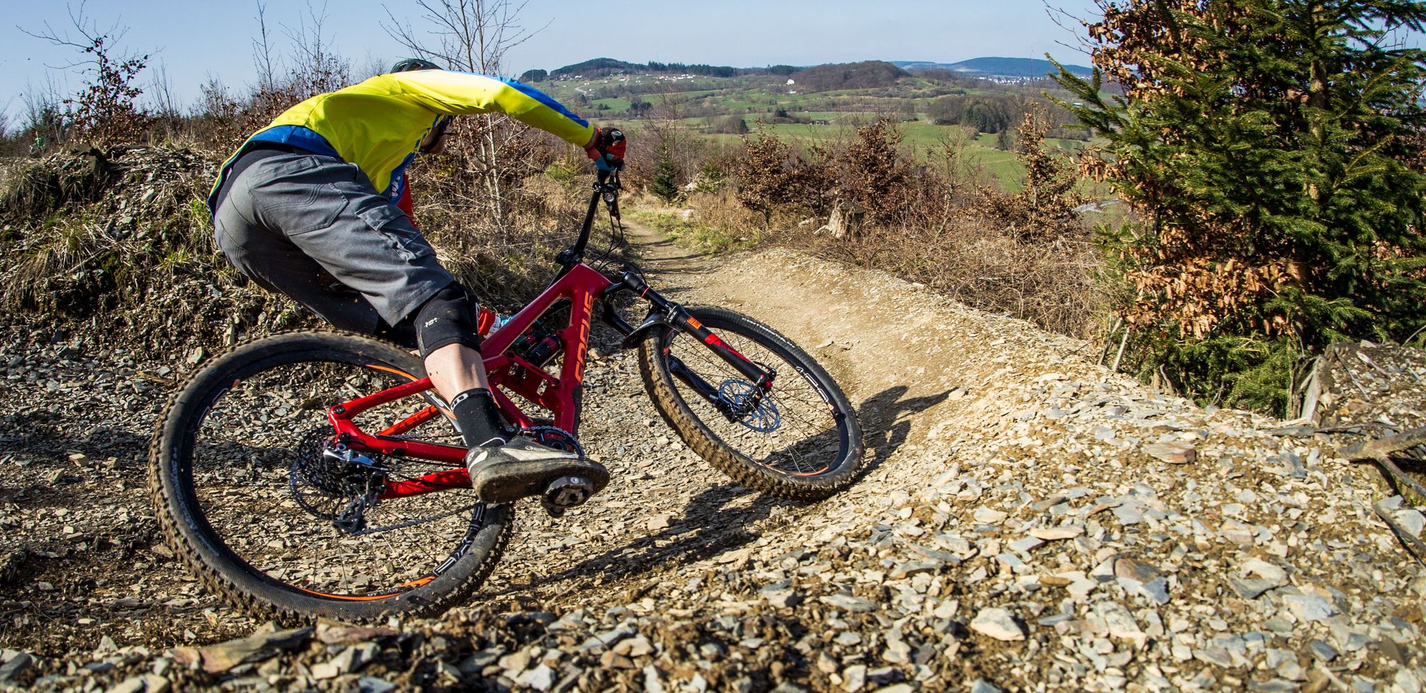
Flow Rider — trail fun for everyone
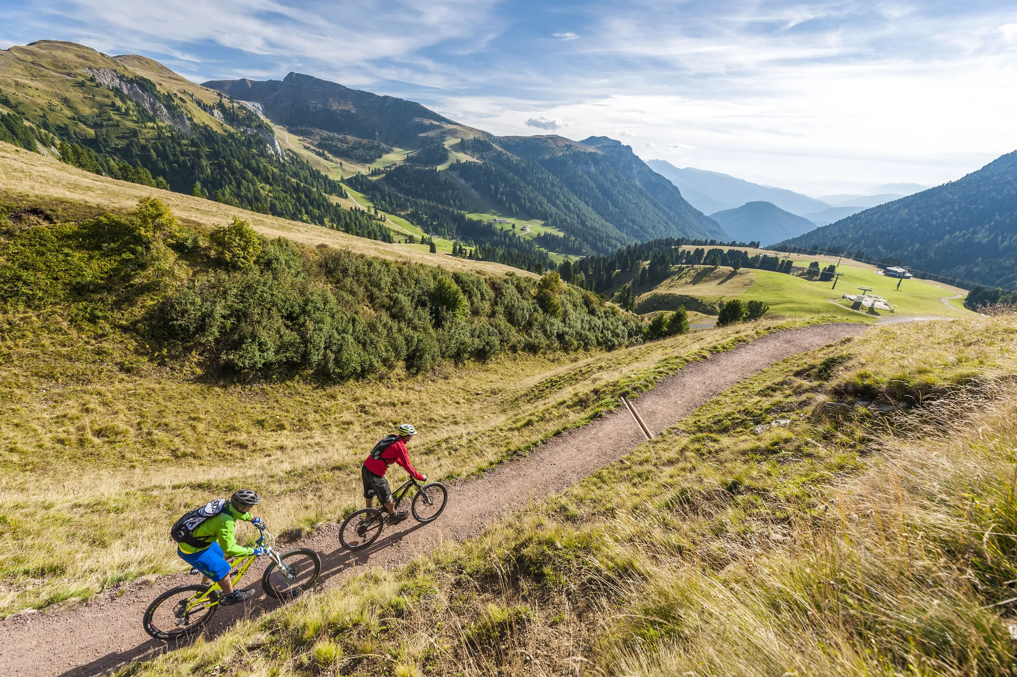
Supertrails — the long way down
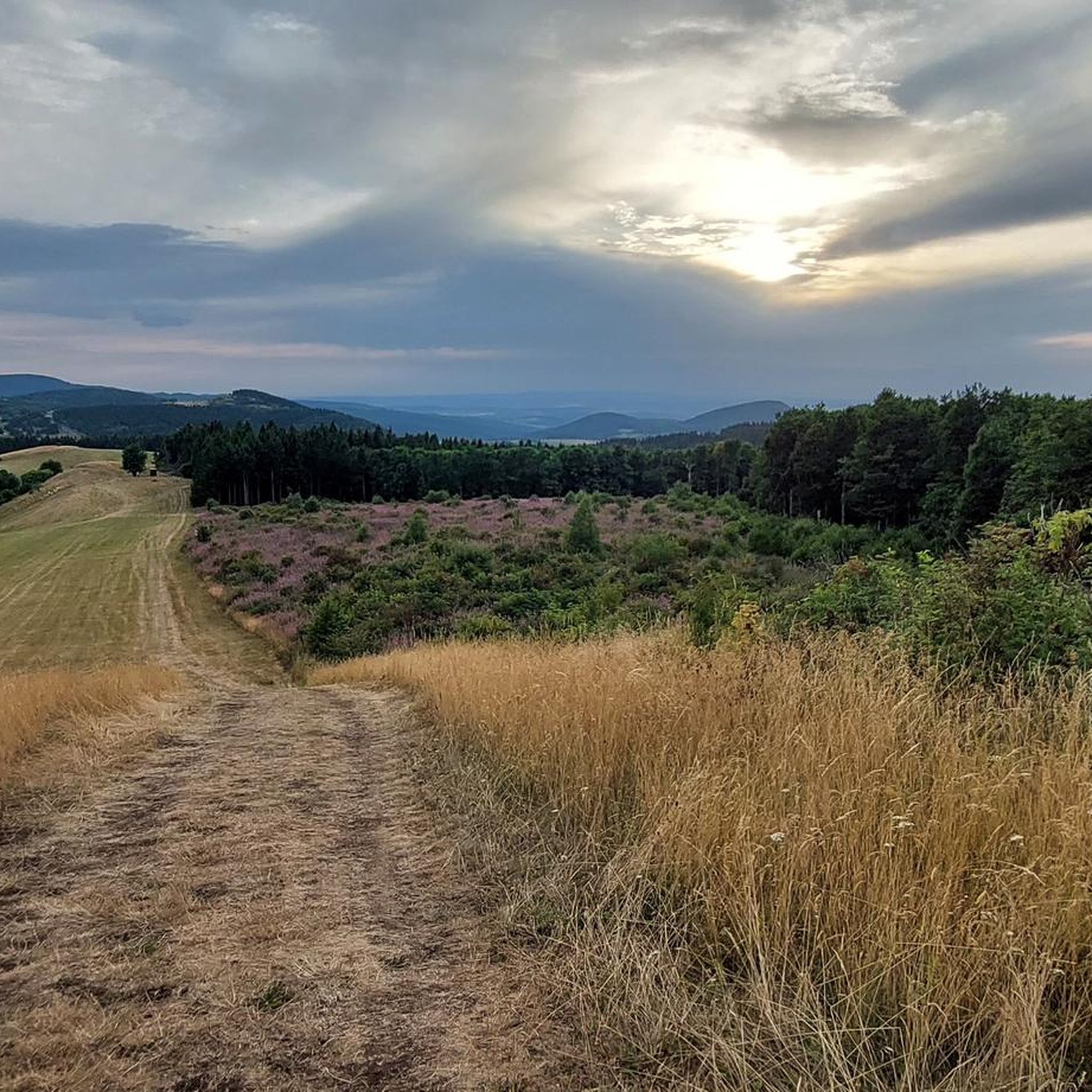
Hiking around Bischofsheim an der Rhön
Other adventures around Bischofsheim an der Rhön


Tips from the Community

Candle chapel opposite the monastery church, in autumn / winter you can also warm up nicely here 😉
0
0


One of the last raised bogs in Hesse. Peat mining was stopped here in 1986… Today, renaturation is the magic word
13
0

You can stop by
3
0

Really nice and quiet in the morning. From 12pm onwards it is often very busy.
1
1

After the climb you have a fantastic view.
1
0

This small fountain is located on the way down from Kreuzberg to Neustädter Haus.
0
0
Frequently Asked Questions
What is the typical difficulty level for mountaineering routes around Bischofsheim an der Rhön?
The mountaineering routes in this area are generally considered moderate. All 9 routes listed in our guide fall into this category, offering a good balance of challenge and accessibility for those with some experience.
Are there any circular mountaineering routes available?
Yes, many of the routes around Bischofsheim an der Rhön are circular. For example, the Marienbrünnlein – Kreuzberg Summit loop from Unterweißenbrunn and the Pfertskopf loop from Wasserkuppe are both excellent circular options, allowing you to start and end at the same point.
What kind of terrain can I expect on these mountaineering routes?
You can expect a diverse landscape characteristic of the Rhön Biosphere Reserve. Routes often traverse rolling hills, dense mixed woodlands, and open plateaus. You'll encounter volcanic formations and significant elevation changes, especially on ascents to prominent peaks like Kreuzberg and in areas like the scenic Cascade Gorge.
What are some interesting natural attractions or landmarks to see along the routes?
The region offers several points of interest. You might explore the unique geological features of the Teufelskeller (Devil’s Cellar) or the serene Women's Cave (Klefallsloch). The Eisgraben Nature Reserve also provides beautiful natural scenery.
Are there any places to stop for refreshments or a meal during a mountaineering tour?
Yes, you'll find several huts and restaurants in the vicinity. For example, the View from the summit of Kreuzberg – Kreuzberg Monastery loop from Bischofsheim in der Rhön route passes near Kreuzberg Monastery, which often has refreshment options. Other places like the Gemündener Hut or Jagdschloss Holzberghof are popular spots for a break.
What is the best time of year to go mountaineering in Bischofsheim an der Rhön?
The Rhön region is beautiful year-round. Spring and autumn offer pleasant temperatures and vibrant scenery, while summer provides longer daylight hours. Winter mountaineering is also possible, but requires appropriate gear for snow and ice conditions, especially at higher elevations like Kreuzberg and Wasserkuppe.
How long do the mountaineering routes typically take to complete?
The duration varies depending on the route and your pace. For instance, the Marienbrünnlein – Kreuzberg Summit loop from Unterweißenbrunn is a longer route, taking around 4 hours 12 minutes. Shorter options, like the Cascade Gorge – View of the Wasserkuppe loop from Rotes Moor, can be completed in about 2 hours 5 minutes.
Are the mountaineering routes around Bischofsheim an der Rhön suitable for families?
While all routes are rated moderate, some are shorter and might be more manageable for families with older children or those accustomed to hiking. The Pfertskopf loop from Wasserkuppe, at 4.7 miles (7.6 km), offers scenic views and a manageable distance for a family outing.
What do other mountaineers enjoy most about the routes in this area?
The area is highly rated by the komoot community, with an average score of 4.0 stars from 6 reviews. Reviewers often praise the varied terrain, the stunning views from peaks like Kreuzberg and Wasserkuppe, and the well-maintained paths through forests and open landscapes.
Is public transport available to reach the trailheads?
Public transport options exist within the Rhön region, though direct access to all trailheads might vary. It's advisable to check local bus schedules, especially for routes connecting Bischofsheim an der Rhön to key starting points like Wasserkuppe or Unterweißenbrunn, to plan your journey effectively.
Are dogs allowed on the mountaineering routes?
Generally, dogs are welcome on trails in the Rhön Biosphere Reserve, but it's always recommended to keep them on a leash, especially in nature protection areas, near livestock, or during wildlife breeding seasons. Ensure your dog is fit enough for the moderate difficulty of these routes.
Where can I find parking for the mountaineering routes?
Designated parking areas are typically available at popular starting points for trails, such as near Kreuzberg Monastery, Wasserkuppe, or in villages like Unterweißenbrunn and Rotes Moor. Look for signs indicating hiker parking at these locations.
Most popular routes around Bischofsheim an der Rhön
Most popular attractions around Bischofsheim an der Rhön

Get inspired with the komoot mobile app


Explore more
Browse the best Mountain Hikes & Routes in other regions.
