The best mountain hikes around Sandberg
3.0
(3)
11
hikers
4
hikes
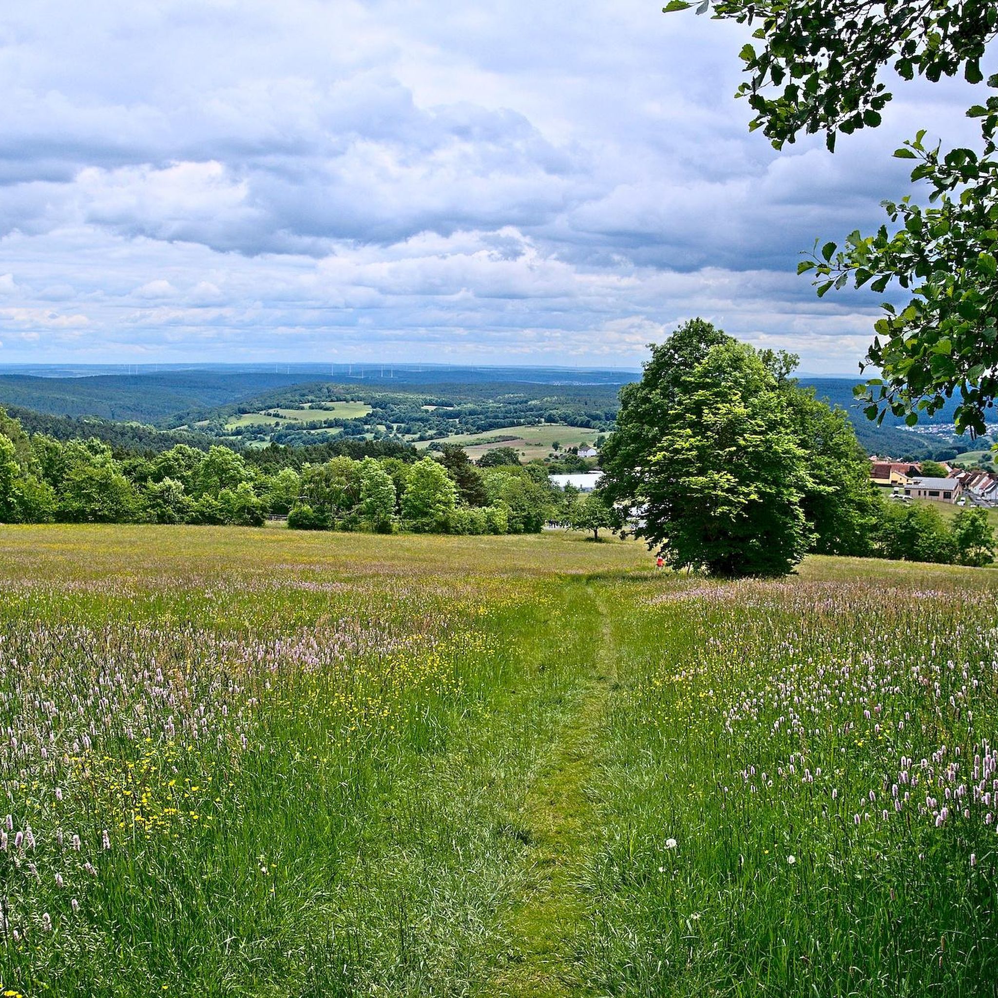
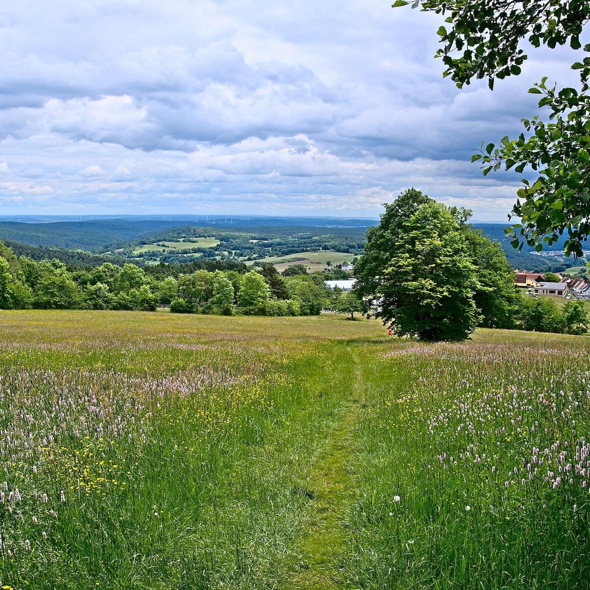
Mountaineering routes around Sandberg are primarily found within the Rhön-Grabfeld district of Germany, an area characterized by rolling hills, green valleys, and dense forests. The region offers routes that lead to notable peaks like Kreuzberg, the highest mountain in the Rhön. These trails provide opportunities to explore varied terrain, from forested paths to more open ascents. The landscape is well-suited for moderate mountaineering experiences.
Best mountaineering routes around Sandberg
- The most popular mountaineering route is Marienbrünnlein – Kreuzberg Summit loop…
Last updated: July 2, 2026
5.0
(2)
6
hikers
13.6km
04:12
490m
490m
Moderate mountaineering route. Good fitness required. Easily-accessible paths. Suitable for all skill levels.
2
hikers
Moderate mountaineering route. Good fitness required. Easily-accessible paths. Suitable for all skill levels.

Sign up for free
2
hikers
Moderate mountaineering route. Good fitness required. Easily-accessible paths. Suitable for all skill levels.
1.0
(1)
1
hikers
Moderate mountaineering route. Good fitness required. Easily-accessible paths. Suitable for all skill levels.
Our route recommendations are based on thousands of hikes, rides, and runs completed by other people on komoot.
Start today with a free account
Your next adventure awaits.
Login or Signup
Popular around Sandberg




Tips from the Community

Great view from the Osterburg
0
0


You can stop by
3
0

Really nice and quiet in the morning. From 12pm onwards it is often very busy.
1
1

This small fountain is located on the way down from Kreuzberg to Neustädter Haus.
0
0

Very nice town with town hall.
5
0

Frequently Asked Questions
What kind of mountaineering challenges can I expect around Sandberg?
The mountaineering routes around Sandberg, primarily located in the Rhön-Grabfeld district of Germany, are characterized by rolling hills, green valleys, and dense forests. You'll find trails leading to notable peaks like Kreuzberg, offering moderate challenges suitable for those looking for enjoyable ascents through varied terrain rather than extreme technical climbs. All available routes are rated as moderate.
Are there any circular mountaineering routes in the Sandberg area?
Yes, several popular mountaineering routes around Sandberg are circular. For example, you can explore the Marienbrünnlein – Kreuzberg Summit loop from Unterweißenbrunn, which is about 13.6 km long. Another option is the shorter View from the summit of Kreuzberg – Kreuzberg Monastery loop from Bischofsheim in der Rhön, covering 7.1 km.
Are the mountaineering routes around Sandberg suitable for families?
The routes around Sandberg are generally moderate, featuring rolling hills and forested paths, which can be suitable for active families. Shorter loops, such as the View from the summit of Kreuzberg – Kreuzberg Monastery loop (7.1 km), might be a good starting point for families with older children accustomed to hiking.
Can I bring my dog on the mountaineering trails near Sandberg?
While specific regulations for dogs on these particular trails are not detailed, generally, trails in the Rhön region of Germany are dog-friendly. It's always recommended to keep your dog on a leash to protect wildlife and ensure the safety and comfort of other hikers. Please check local signage for any specific restrictions.
What is the best time of year for mountaineering in Sandberg?
The Rhön-Grabfeld district, where Sandberg is located, offers beautiful scenery throughout the warmer months. Spring and autumn provide pleasant temperatures and vibrant landscapes, ideal for exploring the rolling hills and forests. While winter mountaineering is possible, be prepared for colder conditions and potential snow, especially on higher elevations like Kreuzberg.
What interesting landmarks or attractions can I see along the mountaineering routes?
Many routes around Sandberg offer opportunities to discover historical and natural landmarks. For instance, the Osterburg castle ruins – Kreuzberg Monastery loop passes by the historic Osterburg castle ruins. The area also features the prominent Kreuzberg Monastery, a significant cultural site. You might also encounter other castles like Aschach Castle nearby.
How long do the mountaineering routes around Sandberg typically take to complete?
The duration of routes varies depending on their length and your pace. For example, the Marienbrünnlein – Kreuzberg Summit loop is approximately 13.6 km and typically takes around 4 hours and 12 minutes. Shorter options, like the View from the summit of Kreuzberg – Kreuzberg Monastery loop (7.1 km), can be completed in about 2 hours and 21 minutes.
What do other mountaineers enjoy most about the routes in Sandberg?
The mountaineering routes around Sandberg are highly rated by the komoot community, with an average score of 3.0 stars. Reviewers often praise the varied terrain, the peaceful atmosphere of the rolling hills and dense forests, and the rewarding views from peaks like Kreuzberg. The moderate difficulty also makes them accessible to a wide range of outdoor enthusiasts.
Are there any longer or more challenging mountaineering options in the Sandberg area?
While all routes are rated as moderate, some offer a longer distance and more elevation gain. The The steps up to Kreuzberg – Kreuzberg Monastery loop is the longest at 15 km, involving significant ascent. These longer routes provide a more extended experience within the region's characteristic rolling hills and forests.
Are there cafes or places to eat near the mountaineering trails in Sandberg?
The area around Kreuzberg, a central point for many routes, is known for its monastery, which often includes facilities for visitors. You may find traditional eateries or cafes in nearby towns like Bischofsheim in der Rhön or at specific points of interest like the Kreuzberg Monastery itself, offering refreshments after your hike.
What kind of wildlife might I encounter on the mountaineering routes?
The dense forests and green valleys of the Rhön-Grabfeld district are home to various wildlife. You might spot deer, wild boar, and a variety of bird species. Keep an eye out for smaller mammals and listen for the sounds of the forest as you traverse the trails.
How many mountaineering routes are available around Sandberg?
There are currently 4 dedicated mountaineering routes detailed around Sandberg, all offering a moderate level of difficulty. These routes provide diverse ways to explore the region's unique landscape of rolling hills and forests.
Most popular routes around Sandberg
Most popular attractions around Sandberg

Get inspired with the komoot mobile app


Explore more
Browse the best Mountain Hikes & Routes in other regions.
