The best running trails around Ballyclogh (Centre)
4.0
(2)
1,109
runners
33
runs
Jogging around Ballyclogh (Centre) offers diverse landscapes for runners of all abilities. The region features trails along the River Bann, through historic sites like Mountsandel Fort, and within natural woodlands such as Somerset Forest. These running routes provide a mix of paved surfaces and accessible paths, catering to various fitness levels. The area's natural features, including river views and forest settings, create varied and engaging running experiences.
Best jogging routes around Ballyclogh (Centre)
- The most popular jogging route is Causeway…
Last updated: July 9, 2026
78
runners
25.6km
03:06
370m
370m
Hard run. Very good fitness required. Mostly paved surfaces. Suitable for all skill levels.
30
runners
9.57km
01:08
70m
70m
Moderate run. Good fitness required. Mostly paved surfaces. Suitable for all skill levels.

Sign up for free
38
runners
7.70km
00:48
40m
40m
Moderate run. Good fitness required. Mostly paved surfaces. Suitable for all skill levels.
23
runners
7.04km
00:44
50m
50m
Moderate run. Good fitness required. Mostly paved surfaces. Suitable for all skill levels.
16
runners
10.7km
01:08
60m
60m
Moderate run. Good fitness required. Mostly paved surfaces. Suitable for all skill levels.
Get access to more routes and recommendations from other explorers.
Sign up for free
Already have an account?
Our route recommendations are based on thousands of hikes, rides, and runs completed by other people on komoot.
Start today with a free account
Your next adventure awaits.
Login or Signup
Popular around Ballyclogh (Centre)
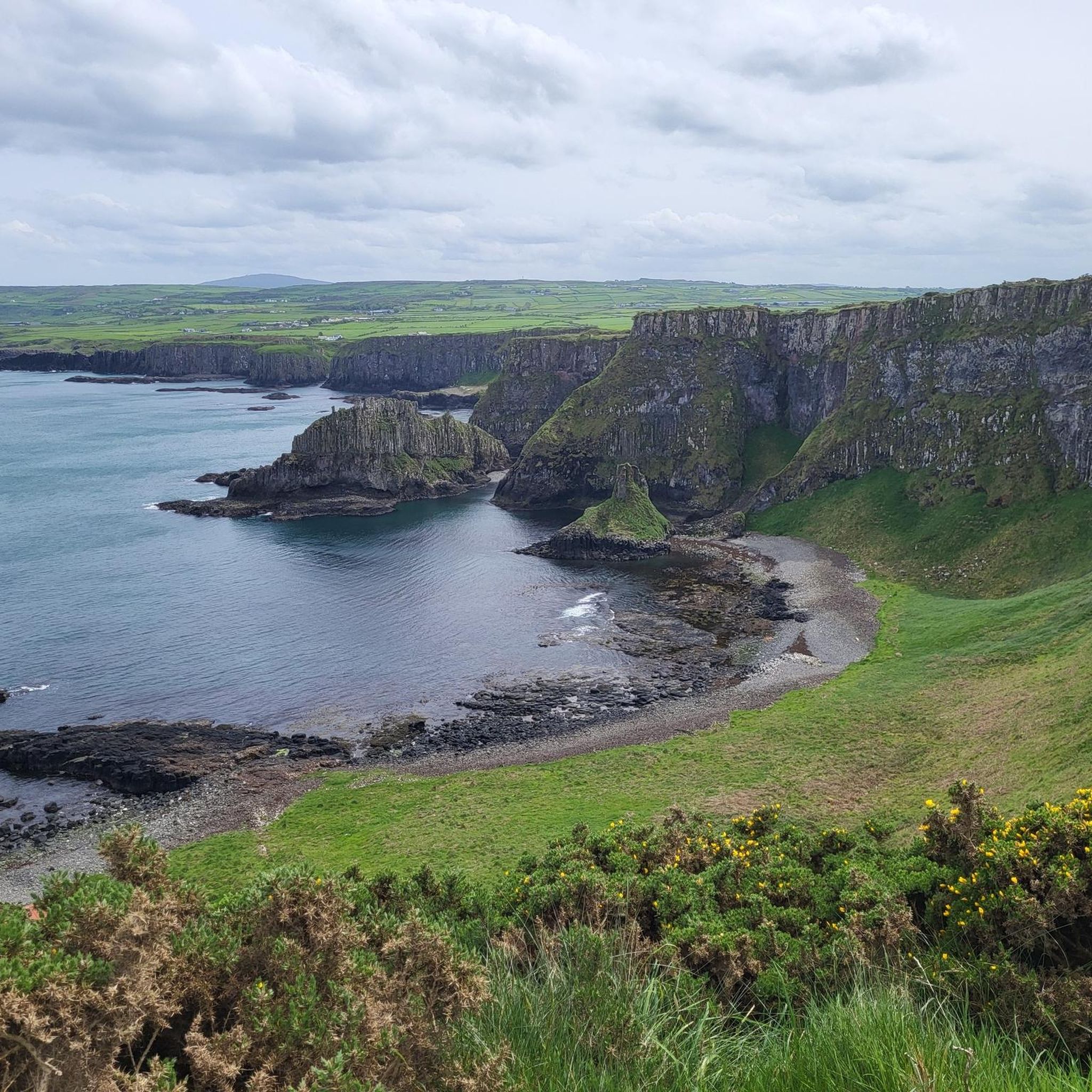
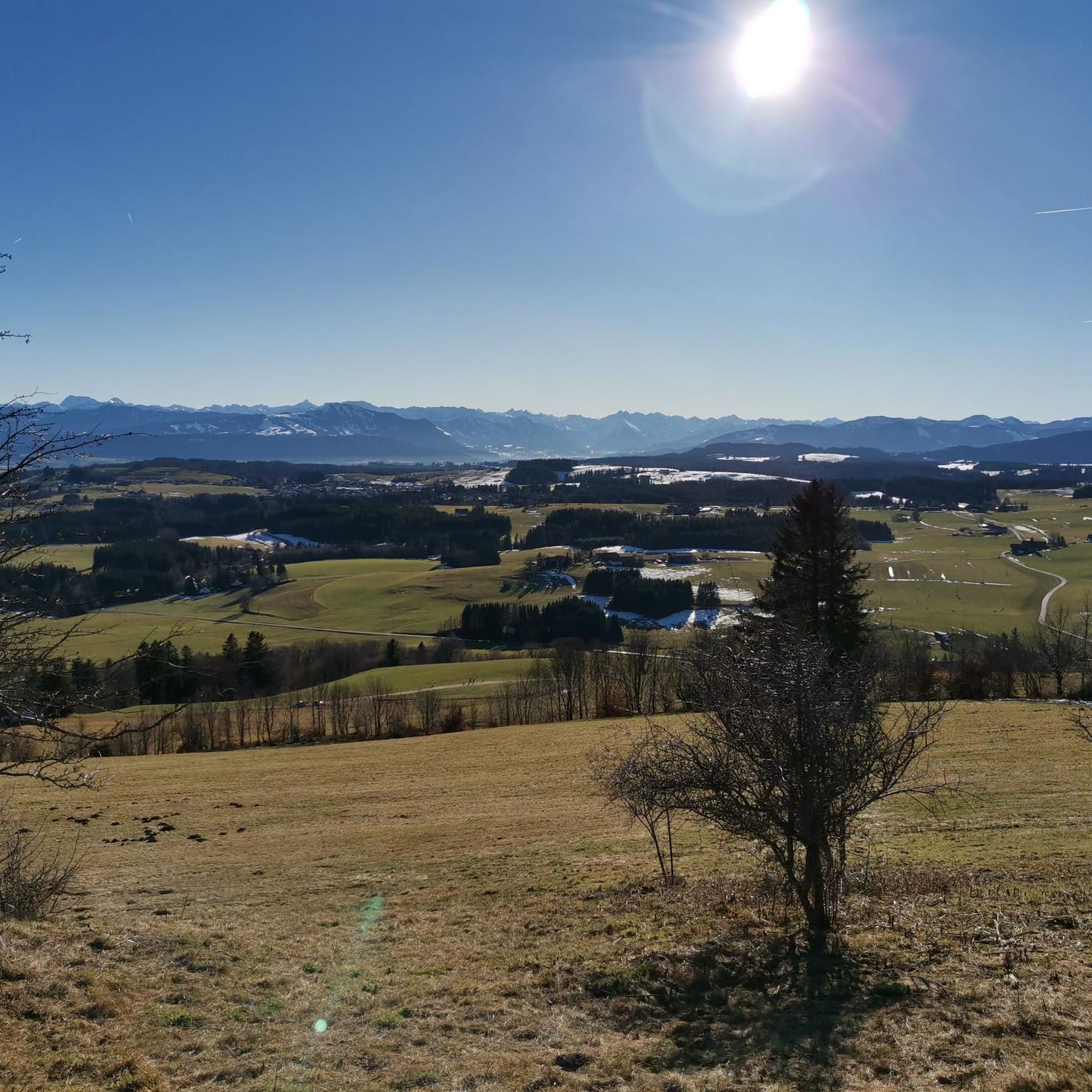
Tips from the Community


The diesel train runs between the picturesque town of Bushmills and the popular Giant's Causeway. In 1883, the original tramway was the first long electric tramway in the world!
0
0

Beautiful Portballintrae. Originally a fishing village, nestled around the perfect horse shoe shaped Ballintrae Bay, If you are lucky enough to catch a mid Summer sunset here you will be blessed. The Giant’s Causeway Tramway takes you from Giant's Causeway to Bushmills, and runs through the sand dunes above the largest beach, commonly known as Runkerry Strand. There are walks and trails throughout.
0
0


This long, flat stretch of pathway that runs along the Bushmills & Giant's Causeway railway line, the perfect place for a jog. You can enjoy vistas of ocean and beaches and the wonderful Giant Causeway Coast. If you like, you can jog one way and return on the train. This is a great route for train lovers, as it's likely you'll see the beautiful old train passing as you make your way along. It's a nice idea to walk one way, and catch the train back, taking it all the wonderful sights on your way.
1
0
Portballintrae is a beautiful seaside village located along the stunning Causeway Coast in Northern Ireland. Portballintrae has a number of lovely attractions to keep you busy and is the closest village to the famous Dunluce Castle.
2
0

would have to be taken care of
0
1
Frequently Asked Questions
How many running routes are available in Ballyclogh (Centre)?
There are over 40 running routes around Ballyclogh (Centre), offering diverse landscapes for runners of all abilities. These include easy loops, moderate paths, and more challenging long-distance runs.
What kind of terrain can I expect on the running trails in Ballyclogh (Centre)?
The region offers a variety of terrain, from mostly paved surfaces along the River Bann to natural woodlands in areas like Somerset Forest. You'll find routes with gentle elevation gains and others with more significant climbs, providing options for different preferences and fitness levels.
Are there any family-friendly running trails in the Ballyclogh (Centre) area?
Yes, Ballyclogh (Centre) offers routes suitable for families. The 'Mountsandel Fort – View of the River Bann loop' is an easy, paved surface route, approximately 4.69 km, making it suitable for all fitness levels and potentially families. The area's varied terrain ensures there are accessible paths for a pleasant family outing.
Can I bring my dog on the running routes around Ballyclogh (Centre)?
While specific dog-friendly regulations can vary by location, many natural areas like Somerset Forest often permit dogs, usually requiring them to be on a leash. It's always best to check local signage or specific route guidelines before heading out with your canine companion.
Are there circular running routes available in Ballyclogh (Centre)?
Yes, the area features several circular routes. For instance, the 'Mountsandel Fort – View of the River Bann loop' and the 'Mountsandel Fort – West Strand Promenade loop' are notable examples. Additionally, a 2-mile circular walking trail through Mountsandel Forest offers a scenic loop for runners.
What natural features or landmarks can I see while running in Ballyclogh (Centre)?
You can enjoy stunning natural features and historical landmarks. Many routes follow the scenic River Bann, offering river views. The historic Mountsandel Fort, dating back to 7000BC, is situated on a steep river bluff. Further afield, you can encounter iconic sights like the Giant's Causeway, The Organ, and Dunluce Castle Ruins, especially on routes like the View of Giant's Causeway – Giant's Causeway loop from Portballintrae.
Where can I find parking near the running trails, especially around Mountsandel Fort?
Parking is generally available at popular access points for trails. For routes around Mountsandel Fort, there are usually designated parking areas to facilitate access to the historic site and its surrounding trails. It's advisable to look for local signage upon arrival.
How can I reach the running trails using public transport?
While specific public transport links directly to every trailhead might vary, the broader Coleraine area, which encompasses Ballyclogh (Centre), is served by public transport. For trails around Mountsandel Fort, you might find bus services that stop within walking distance, but checking local bus schedules is recommended for precise planning.
Are there challenging long-distance running options in Ballyclogh (Centre)?
Absolutely. For those seeking a challenge, routes like the Causeway Coast Way offer a demanding 25.6 km run with significant elevation gain, providing extensive coastal views. Another option is the 'Mountsandel Fort – West Strand Promenade loop,' a 27.5 km run with 170m of elevation, requiring good fitness.
What do other runners say about the trails in Ballyclogh (Centre)?
The running routes in Ballyclogh (Centre) are highly rated by the komoot community, with an average score of 5.0 stars. Over 1300 runners have explored the varied terrain, often praising the scenic river paths, historic surroundings, and diverse options for different ability levels.
Are there any easy running routes suitable for beginners?
Yes, Ballyclogh (Centre) offers easy routes perfect for beginners or those looking for a relaxed run. The 'Mountsandel Fort – View of the River Bann loop' is an excellent choice, being an easy, paved route of approximately 4.69 km with minimal elevation gain, suitable for all fitness levels.
What is the best time of year for running in Ballyclogh (Centre)?
The region's natural beauty can be enjoyed year-round. Spring and autumn offer pleasant temperatures and vibrant scenery, while summer provides longer daylight hours. Even in winter, the trails can be beautiful, though conditions might require appropriate gear. Always check local weather forecasts before heading out.
Are there places to eat or drink near the running routes?
While specific cafes or pubs might not be directly on every trail, the broader Coleraine area, including towns like Portrush and Portstewart along the Causeway Coast, offers various options for refreshments. After a run, you can find cafes and pubs to relax and refuel.
Most popular routes around Ballyclogh (Centre)
Most popular attractions around Ballyclogh (Centre)

Get inspired with the komoot mobile app


Explore more
Browse the best Running Trails & Routes in other regions.
