The best walks and hikes around Ballymacrea Lower
4.6
(637)
6,486
hikers
71
hikes
Hiking around Ballymacrea Lower offers access to the dramatic coastal landscapes of Northern Ireland, characterized by rugged cliffs, expansive beaches, and distinctive rock formations. The region is part of the renowned Causeway Coast, providing diverse terrain for outdoor exploration. Hikers can experience both long sandy stretches and elevated cliff-top paths, with views across the Atlantic Ocean. This area serves as an excellent base for discovering natural features and historical sites along the coastline.
Best hiking trails around Ballymacrea Lower
- The…
Last updated: November 2, 2026
5.0
(1)
44
hikers
5.72km
01:28
30m
30m
Easy hike. Easily walkable paths.
4.3
(3)
18
hikers
21.6km
05:34
100m
100m
Hard hike. Very good fitness required. Easily walkable paths.

3.4
(7)
98
hikers
Moderate hike. Good fitness required. Easily walkable paths.
4.5
(2)
30
hikers
8.64km
02:16
70m
70m
Moderate hike. Good fitness required. Easily walkable paths.
4.5
(4)
9
hikers
11.6km
03:04
110m
110m
Moderate hike. Good fitness required. Easily walkable paths.
Get access to more routes and recommendations from other explorers.
Already have an account?
Our route recommendations are based on thousands of hikes, rides, and runs completed by other people on komoot.
Start today with a free account
Your next adventure awaits.
Popular around Ballymacrea Lower


Tips from the Community

Small, familiar pub with a funny mascot 😄
0
0

Beautiful view of the cliffs and Dunluce Castle.
0
0

Impressive views down into the valley and a beautiful view of Dunluce Castle,
2
0


Dunluce Castle in Northern Ireland is an impressive ruin perched on a cliff above the sea. Its dramatic location and rugged rocky landscape lend the castle a special atmosphere. The remains tell a rich history and offer fascinating insights into medieval defensive architecture. The views of the sea and the surrounding nature make a visit an unforgettable experience. Dunluce Castle is a place that combines both history and nature in a striking way.
2
0

De Burgh's castle was primarily a military fortress, notable for its robust defensive features typical of Norman architecture. The design included impressive walls and strategic positioning to take advantage of the natural defensive advantages of the clifftop location.
2
0
Frequently Asked Questions
How many hiking trails are available around Ballymacrea Lower?
There are over 70 hiking routes available around Ballymacrea Lower. These trails offer a wide range of experiences, from easy coastal strolls to more challenging treks along the dramatic Causeway Coast.
What kind of terrain and difficulty can I expect on hikes in Ballymacrea Lower?
Hiking around Ballymacrea Lower features diverse terrain, including long sandy beaches, rugged cliff-top paths, and distinctive rock formations. You'll find options for various skill levels, with over 45 easy routes, 24 moderate trails, and a few more difficult paths for experienced hikers.
Are there any family-friendly hiking options in Ballymacrea Lower?
Yes, Ballymacrea Lower offers several family-friendly hiking options, particularly along its beautiful beaches and accessible coastal paths. Many of the easy routes are suitable for families looking for a leisurely outdoor experience.
Can I bring my dog on the hiking trails in Ballymacrea Lower?
Many of the coastal paths and beach walks around Ballymacrea Lower are dog-friendly, making it a great area to explore with your canine companion. However, it's always advisable to check local signage for specific restrictions, especially in nature reserves or during certain seasons, and to keep dogs on a lead where necessary.
What are some notable natural features or landmarks I can see while hiking?
The region is rich in natural beauty and historical sites. You can explore the unique basalt columns of the Giant's Causeway, visit the dramatic Dunluce Castle Ruins perched on cliffs, or admire the distinctive rock formations at places like The Organ or Fionn Mac Cumhaill's Shoe. The entire Causeway Coast offers stunning views of cliffs and the Atlantic Ocean.
Are there any circular hiking routes available?
Yes, there are several circular routes. For example, the Causeway Coast Way: Portrush Loop is an easy 3.5-mile circular path offering coastal views. Another option is the West Strand Promenade – Portstewart Promenade loop from Dhu Varren, which covers about 7.2 miles along coastal promenades.
What is the best time of year to go hiking in Ballymacrea Lower?
The best time to hike in Ballymacrea Lower is generally during the spring, summer, and early autumn months (April to October) when the weather is milder and daylight hours are longer. These seasons offer the most pleasant conditions for enjoying the coastal scenery, though the dramatic landscapes can be appreciated year-round.
Is parking available near the trailheads?
Yes, parking is generally available in towns like Portrush and Portstewart, which serve as common starting points for many trails in the Ballymacrea Lower area. Specific parking details can often be found on individual route descriptions or local tourism websites.
Can I reach the hiking trails using public transport?
Public transport options, including bus services, connect towns along the Causeway Coast, such as Portrush and Portstewart. These towns often serve as access points for various sections of the Causeway Coast Way and other local trails, making it possible to reach some trailheads without a car.
What do other hikers enjoy most about hiking in Ballymacrea Lower?
The area is highly rated by the komoot community, with an average score of 4.6 stars from over 490 reviews. Hikers frequently praise the stunning coastal views, the variety of terrain from beaches to cliffs, and the opportunity to explore iconic landmarks like the Giant's Causeway. The well-maintained paths and diverse options for all abilities are also highly appreciated.
Are there any longer, more challenging coastal hikes?
Yes, for those seeking a more challenging experience, the Portrush to Portstewart — Causeway Coast route is a difficult 13.4-mile path. This trail follows the coastline, providing extensive views and varied terrain between the two towns, ideal for a full day's adventure.
Where can I find more information about walking and hiking in the wider Causeway Coast and Glens area?
For additional information and resources on walking and hiking trails throughout the broader Causeway Coast and Glens region, you can visit the official tourism website: visitcausewaycoastandglens.com.
Most popular routes around Ballymacrea Lower
Most popular attractions around Ballymacrea Lower
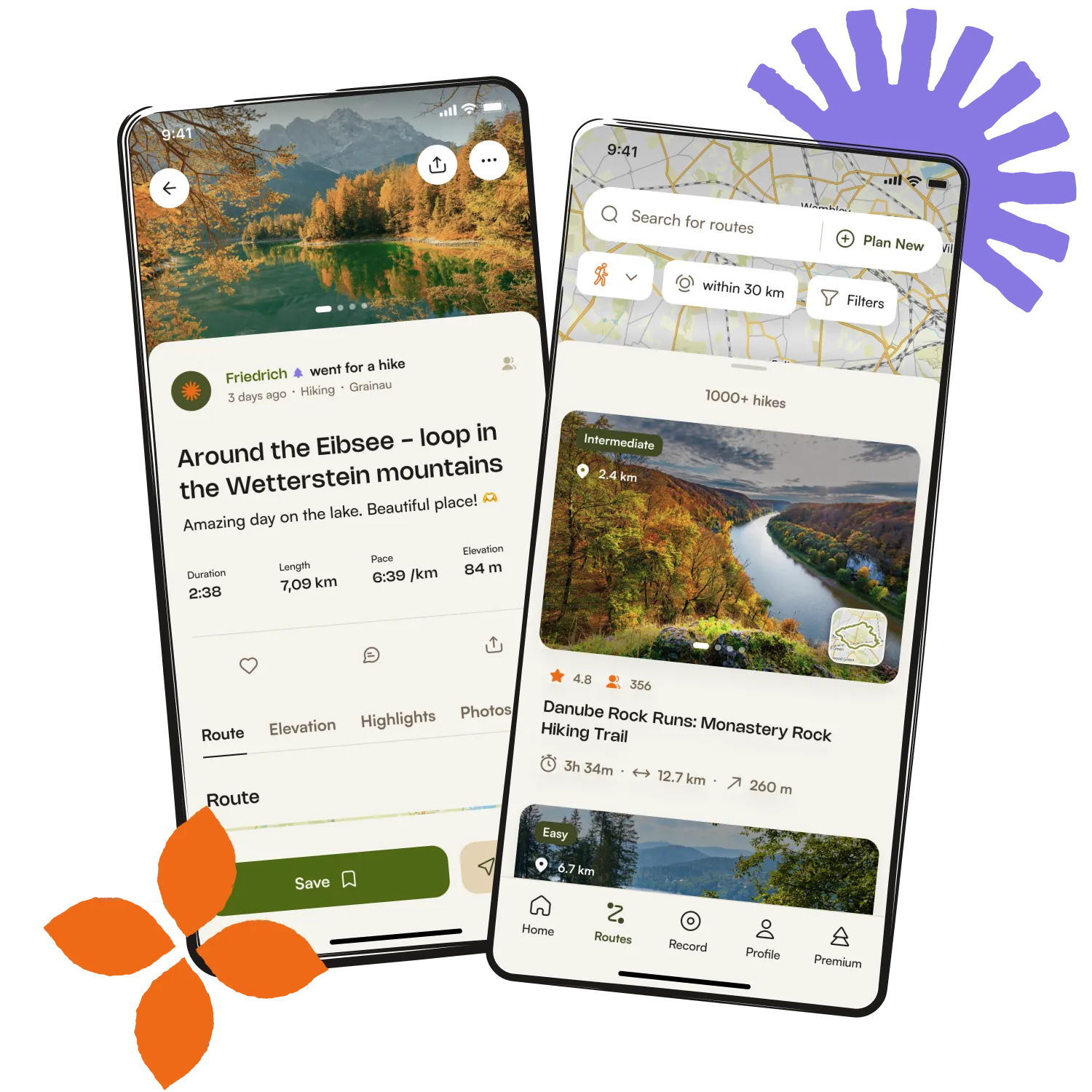
Get inspired with the komoot mobile app


Explore more
Browse the best Hikes in other regions.