The best walks and hikes around Risk
4.6
(611)
6,161
hikers
63
hikes
Hiking around Risk offers access to the diverse landscapes of the Causeway Coast, characterized by dramatic basalt columns, rugged cliffs, and coastal paths. The area features a mix of open stretches along the sea and paths that traverse rolling hills and agricultural land. Elevation changes are generally moderate, with some routes including gradual ascents to viewpoints. The terrain primarily consists of well-maintained trails, coastal footpaths, and some paved sections through villages.
Best hiking trails around Risk
- The most popular hiking…
Last updated: November 9, 2026
4.6
(10)
66
hikers
8.69km
02:16
70m
70m
Hike the Causeway Coast Way from Bushmills to the Giant's Causeway, a moderate route spanning 5.4 miles (8.7 km) with an elevation gain of 214 feet (65 metres). This journey…
4.6
(26)
229
hikers
11.4km
03:02
120m
120m
Moderate hike. Good fitness required. Easily walkable paths.

4.0
(5)
90
hikers
11.1km
03:00
140m
140m
Moderate hike. Good fitness required. Easily walkable paths.
4.5
(4)
11
hikers
10.7km
02:50
100m
100m
Moderate hike. Good fitness required. Easily walkable paths.
4.5
(4)
9
hikers
11.6km
03:04
110m
110m
Moderate hike. Good fitness required. Easily walkable paths.
Get access to more routes and recommendations from other explorers.
Already have an account?
Our route recommendations are based on thousands of hikes, rides, and runs completed by other people on komoot.



Tips from the Community

Definitely worth a visit 🥰
1
0
The circular hike is absolutely recommended. 🥰
1
0

The Old Bushmills Distillery is perhaps the oldest licensed whiskey distillery in the world – its license dates back to 1608. It was officially founded in 1784 by Hugh Anderson in the Northern Irish town of Bushmills. Since then, Bushmills has stood for traditionally triple-distilled, smooth Irish whiskey. Today, the distillery is one of Ireland's best-known names, combining centuries-old craftsmanship with a distinctive taste. (SOURCE:https://www.whisky.de/flaschen-db/brennereien/details/bushmills.html?srsltid=AfmBOor8MPwN_sdDoi3_YQyF709WbBVMXA6NJfwxCoqDqfHEkoRH4Ttc&cHash=05d88a7a7da6f046a59ed4f9a7273284&autoredirected=1)
0
0

Small, familiar pub with a funny mascot 😄
0
0
A natural wonder! After a volcanic eruption 60 million years ago, the basalt lava contracted as it cooled. The shrinkage caused vertical stress cracks. Through uniform pull from all sides, almost perfect hexagons were formed when it cracked open. The approximately 40,000 basalt columns (some up to 12 m high!) are predominantly hexagonal.
0
0

Many steps lead upwards, the reward is the beautiful view.
1
0
Beautiful view of the cliffs and Dunluce Castle.
0
0

Frequently Asked Questions
How many hiking trails are available in Risk?
There are over 60 hiking trails around Risk, offering a variety of experiences. These routes explore the dramatic basalt columns, rugged cliffs, and coastal paths characteristic of the Causeway Coast area.
Are there easy hiking trails suitable for beginners in Risk?
Yes, Risk offers a good selection of easy trails. With 39 routes classified as easy, you'll find plenty of options for a relaxed walk. These paths often feature well-maintained surfaces and gentle elevation changes, perfect for those new to hiking or looking for a leisurely stroll.
What kind of terrain can I expect on hikes around Risk?
The terrain around Risk primarily consists of well-maintained trails, coastal footpaths, and some paved sections through villages. You can expect a mix of open stretches along the sea and paths that traverse rolling hills and agricultural land. Elevation changes are generally moderate, though some routes include gradual ascents to viewpoints.
Are there any challenging hikes for experienced hikers in Risk?
While most trails are easy to moderate, there are a few more challenging options for experienced hikers. For example, the Hamilton's Seat Viewpoint – The Organ — Giant's Causeway loop from Bushmills is a difficult route covering over 20 km, offering a more strenuous adventure with significant elevation changes.
What are the best viewpoints or natural landmarks to see while hiking in Risk?
Hiking in Risk offers spectacular views and unique natural landmarks. You can explore the iconic Giant's Causeway with its basalt columns, or visit The Organ — Giant's Causeway. Other notable spots include The Amphitheatre (Port Reostan) and the historic Dunluce Castle Ruins.
Are there circular hiking routes available in Risk?
Yes, many routes around Risk are circular, allowing you to start and end in the same location. An excellent example is the Giant's Causeway – The Organ — Giant's Causeway loop from Bushmills, which takes you through the famous basalt columns and coastal scenery.
Can I bring my dog on the hiking trails in Risk?
Many trails in Risk are suitable for dogs, especially the coastal paths and open stretches. However, it's always recommended to check specific trail regulations or local signage, particularly in nature reserves or protected areas, and to keep dogs on a leash for their safety and to protect wildlife.
What do other hikers say about the trails in Risk?
The hiking trails in Risk are highly regarded by the komoot community, with an average rating of 4.6 stars from over 470 reviews. Hikers frequently praise the stunning coastal scenery, the unique geological formations like the Giant's Causeway, and the well-maintained paths that make exploring the area enjoyable.
Are there family-friendly hiking options in Risk?
Yes, Risk offers several family-friendly hiking options. Many of the easy and moderate coastal paths are suitable for families, providing accessible routes with engaging sights like the Giant's Causeway. These trails often have relatively flat sections and offer opportunities for children to explore the natural environment.
Is public transport available to reach trailheads in Risk?
Public transport options, such as local bus services, connect some of the main towns and attractions along the Causeway Coast, which includes areas around Risk. It's advisable to check local bus timetables for specific routes and stops that align with your chosen trailhead, especially during peak season.
Where can I find parking when hiking in Risk?
Parking is generally available at popular trailheads and major attractions along the Causeway Coast, such as near the Giant's Causeway or in towns like Bushmills. Some car parks may be paid, especially during busy periods. It's recommended to arrive early during peak season to secure a spot.
What is the typical duration for hikes in Risk?
Hikes in Risk vary in duration depending on the route and your pace. Many popular moderate trails, like the Causeway Coast Way: Bushmills to Giant's Causeway (8.7 km), can take around 2 to 3 hours. Longer, more challenging routes can extend to 5 hours or more.
Most popular routes around Risk
Most popular attractions around Risk
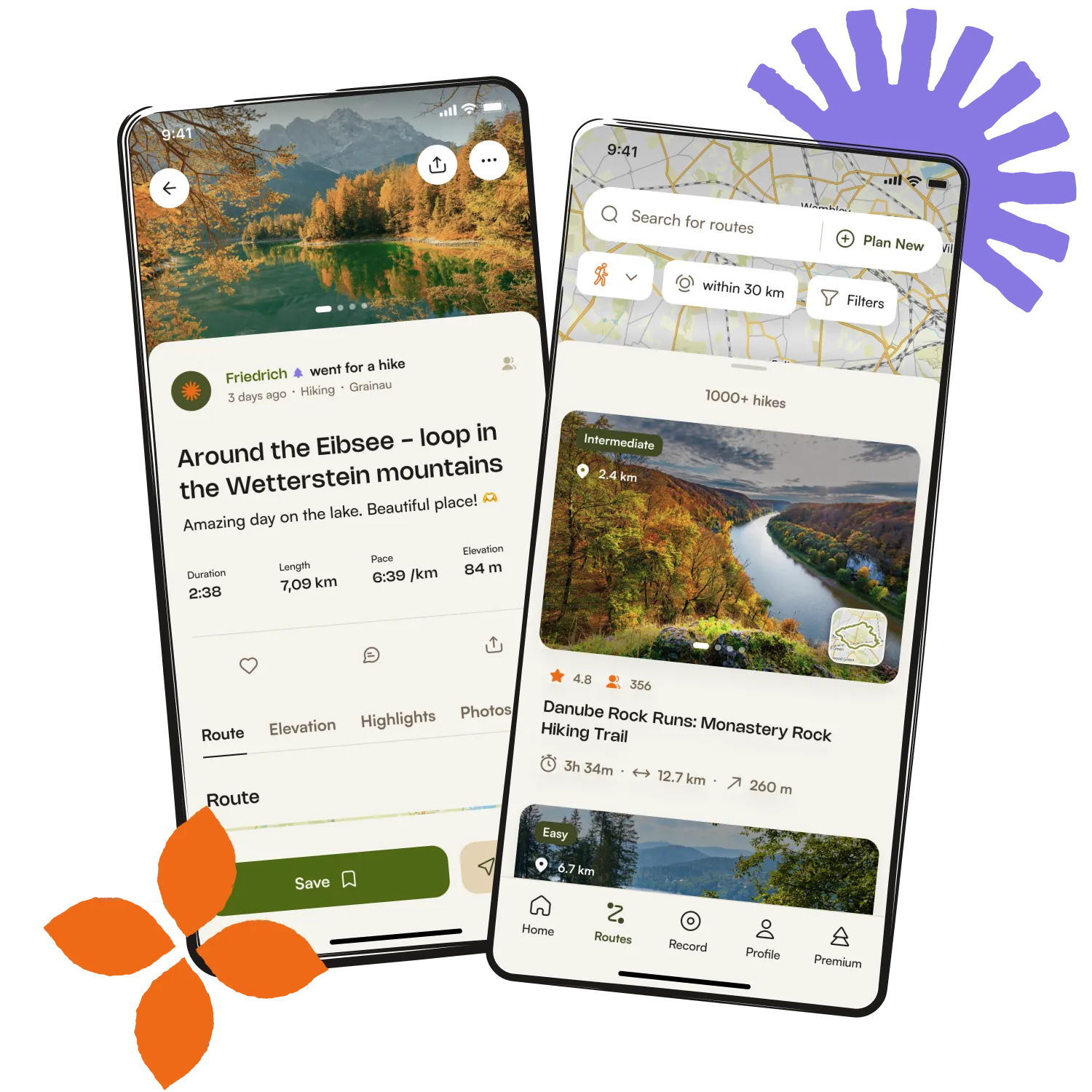
Get inspired with the komoot mobile app


Explore more
Browse the best Hikes in other regions.