The best running trails around Weiltingen
4.5
(179)
2,874
runners
276
runs
Jogging around Weiltingen offers a variety of routes through the region's landscape. The area features a mix of open fields, gentle hills, and paths alongside local waterways. Elevation changes are generally moderate, with some routes reaching higher points like the Hesselberg summit. The terrain is suitable for different running preferences, from shorter, flatter paths to longer, more challenging trails.
Best jogging routes around Weiltingen
- The most popular jogging route is Wörnitz Stuben Beer Garden – Gerolfingen Bathing Pond loop from…
Last updated: July 2, 2026
5.0
(1)
40
runners
29.8km
03:56
980m
980m
Hard run. Very good fitness required. Mostly paved surfaces. Suitable for all skill levels.
10
runners
9.82km
01:07
250m
250m
Moderate run. Good fitness required. Mostly paved surfaces. Suitable for all skill levels.

Sign up for free
4.7
(7)
6
runners
7.09km
00:49
80m
80m
Moderate run. Good fitness required. Mostly paved surfaces. Suitable for all skill levels.
10
runners
10.1km
01:04
70m
70m
Moderate run. Good fitness required. Mostly paved surfaces. Suitable for all skill levels.
6
runners
Moderate run. Good fitness required. Mostly paved surfaces. Suitable for all skill levels.
Get access to more routes and recommendations from other explorers.
Sign up for free
Already have an account?
Our route recommendations are based on thousands of hikes, rides, and runs completed by other people on komoot.
Start today with a free account
Your next adventure awaits.
Login or Signup
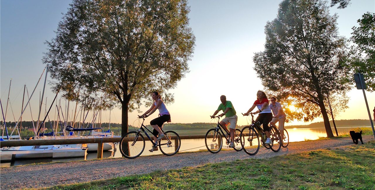
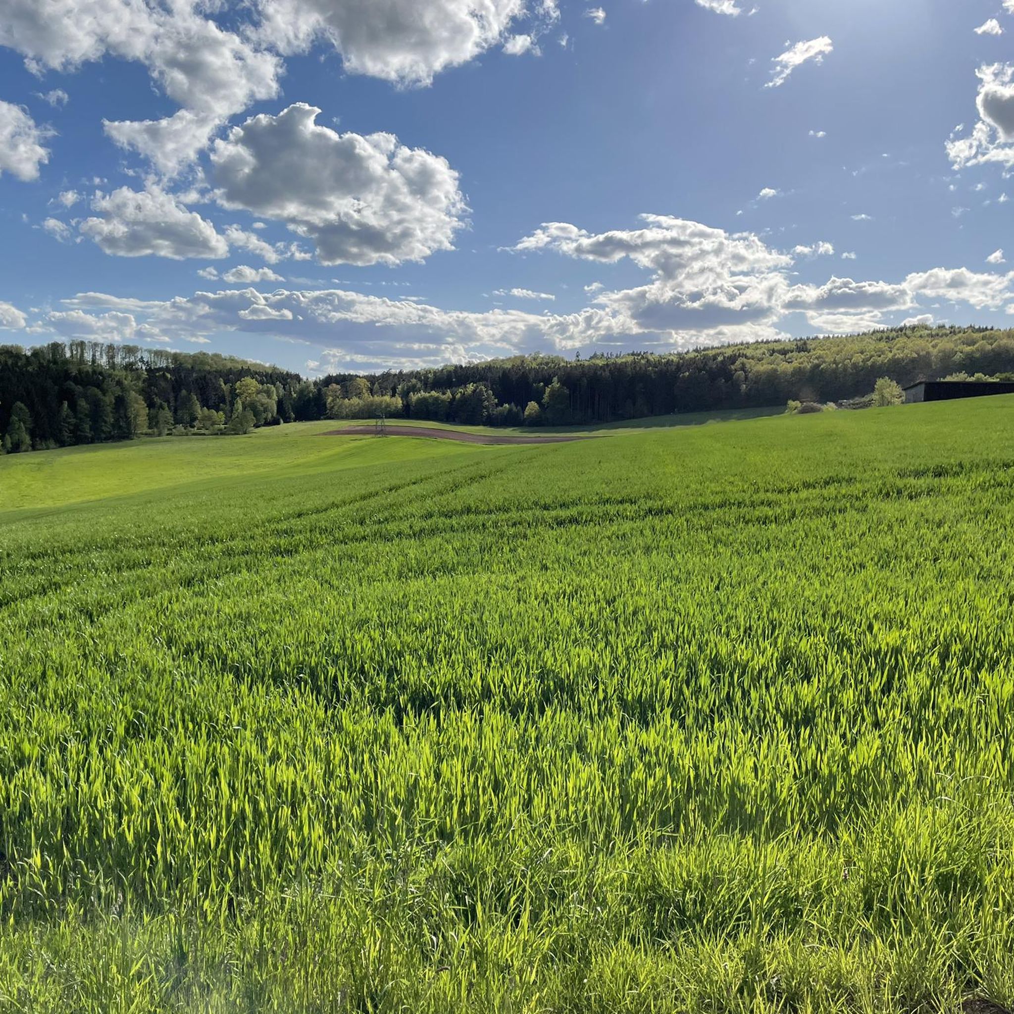
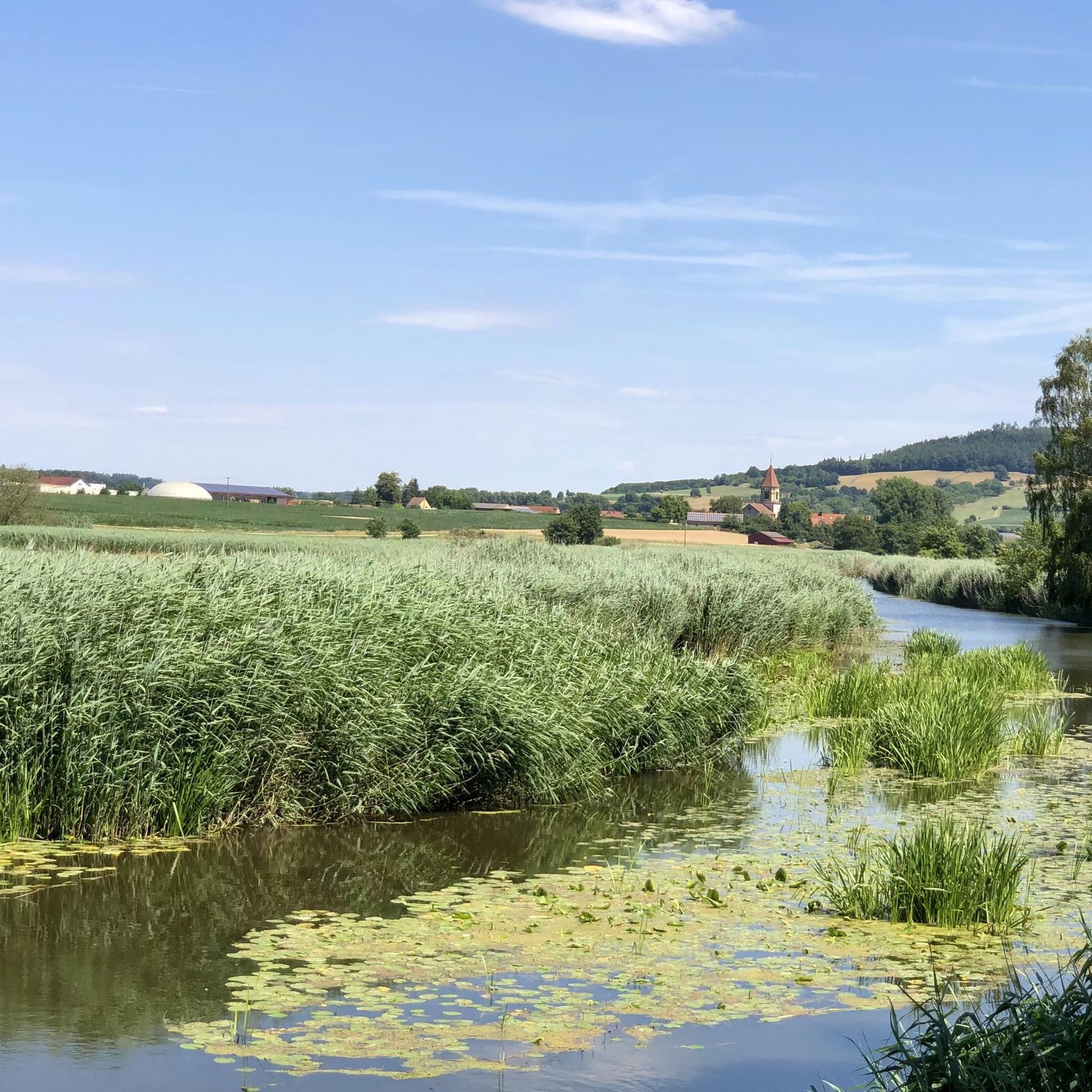
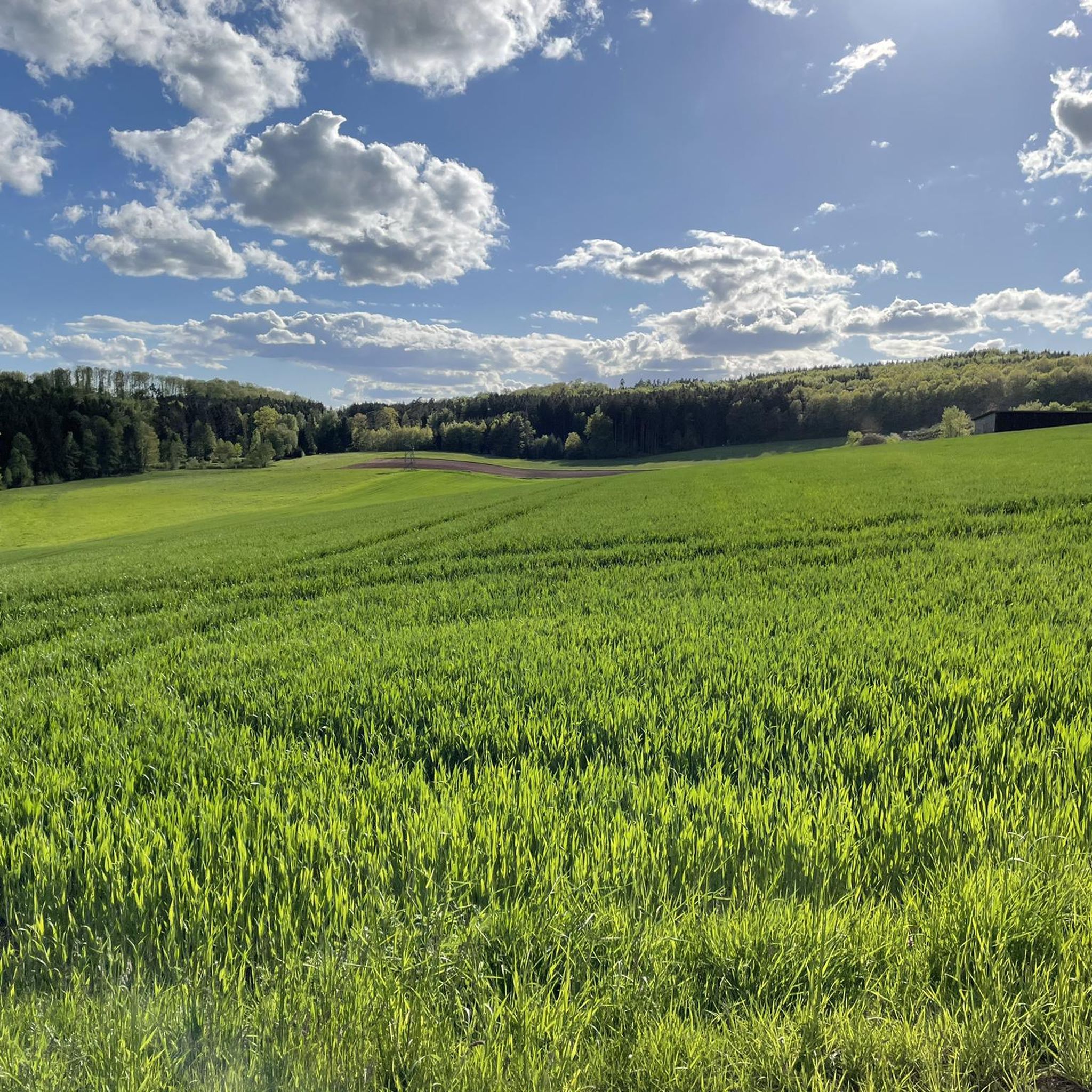
Other adventures around Weiltingen

Tips from the Community

The radio tower on the Hesselberg is the summit's prominent landmark and a key point of orientation for hikers and runners. It stands on the highest point in Middle Franconia (689 m) and was originally built as a telecommunications tower for the German Federal Post Office. Today, it serves for broadcasting and microwave radio communication and is operated by Deutsche Funkturm GmbH. With its distinctive silhouette, the tower rises above the tree line and can be seen from afar, even from the Ries crater or the Altmühl Valley. Right next to it are the summit cross, the geological nature trail, and a small viewing platform offering views as far as the Alps on a clear day. In the early morning, when mist rises from the valleys and the tower glows in the first sunlight, it appears almost like a silent sentinel over the landscape.
1
0
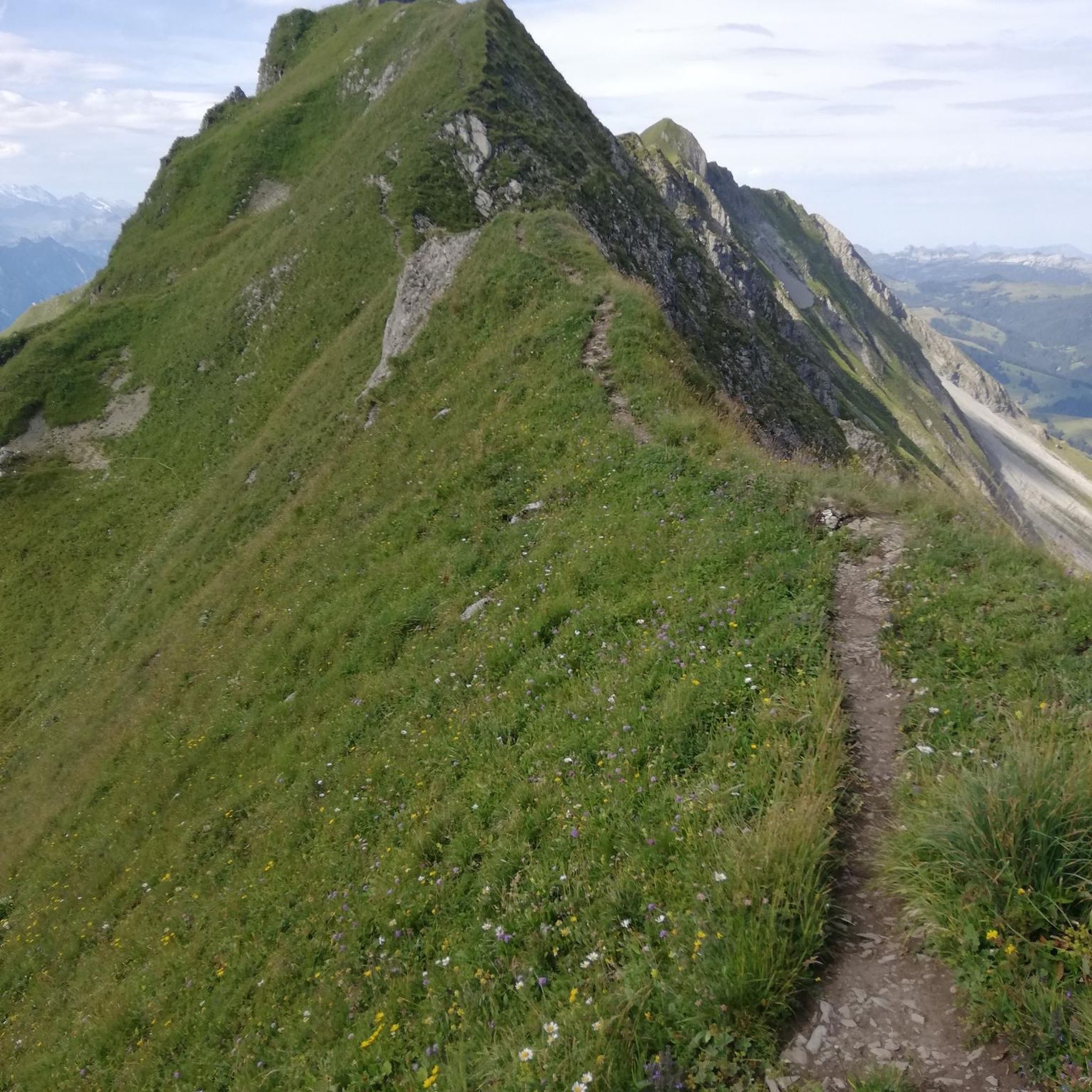
The Hesselberg geological trail leads for approximately 2.5 kilometers through a fascinating landscape, where you can experience the history of the southern German Jura up close. Several information panels explain how the Hesselberg, a mountainous site, formed from the White Jurassic (Malm) layers – remnants of an ancient seabed formed about 150 million years ago. The trail impressively demonstrates the transition from limestone to marl and leads past small outcrops where fossil traces of mussels and ammonites can be found. In addition to geology, you will also learn a great deal about the flora and fauna of this special cultural landscape: dry grasslands, rare orchids, juniper heaths, and nutrient-poor grasslands characterize the landscape. At the end, the trail rewards you with a wide panoramic view from the summit plateau – stretching across the Nördlinger Ries, the Franconian Lake District, and all the way to the Alps. A tranquil place where geological history, nature, and vastness merge.
1
0
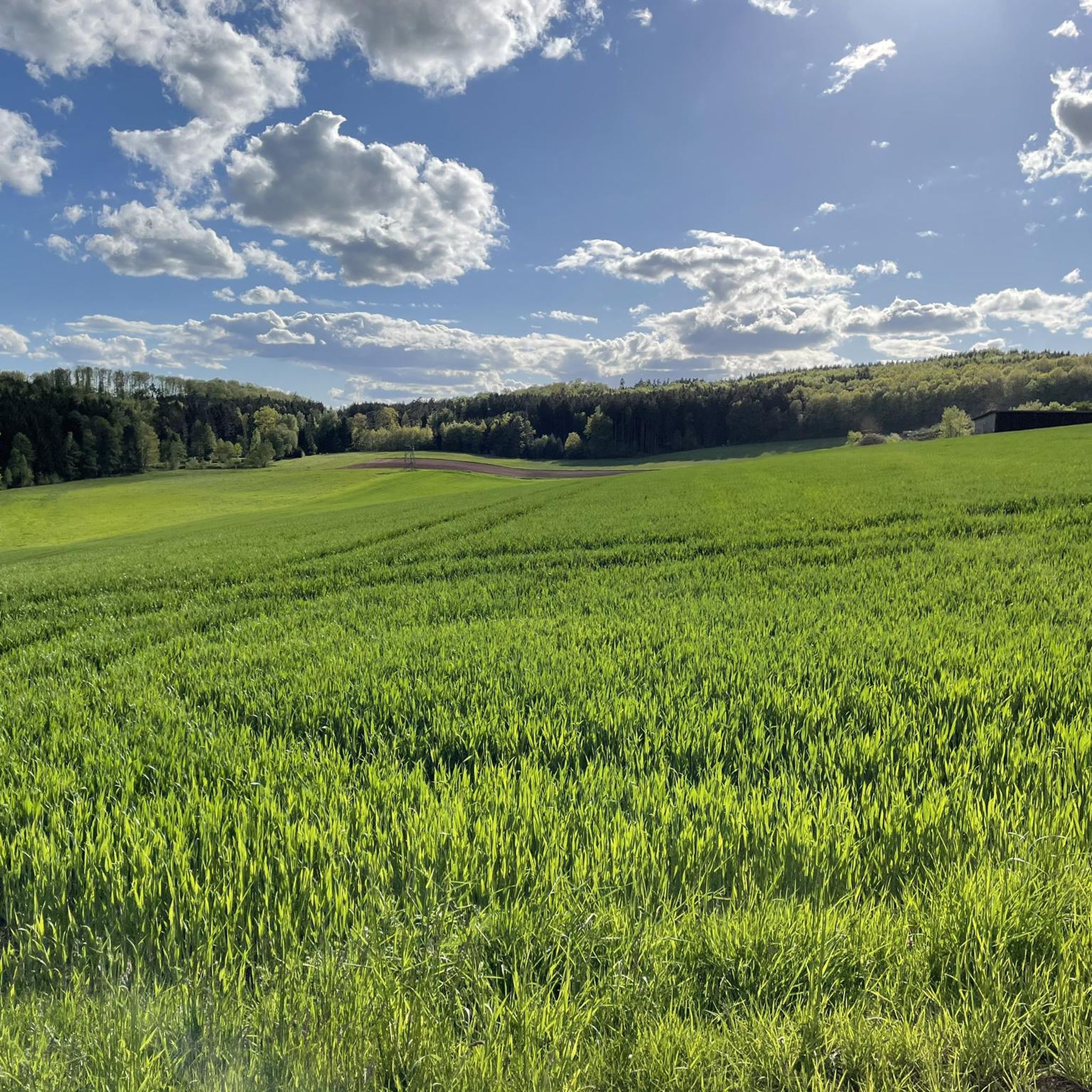
From the Hesselberg to the south, the view extends far across the Franconian hills, over golden fields and dark forest islands. In the distance, on a clear day, the bluish contours of the Alps emerge – barely tangible, yet clearly noticeable. The morning light settles like a veil over the landscape, mist rises from the valleys, and the wind carries the scent of damp earth and fallen leaves. A silent moment between sky and land.
1
1

Kiosk at the foot of the Hesselberg with adjacent parking lot
3
0

A great area that is worth exploring!
0
0

Nice coffee bar at the checkout
1
0

Charging station available for all e-bikes. Simply borrow the charging cable from the museum for a deposit and charge it.
1
0

A new kiosk will be built here in the foreseeable future... The Anrein community wants to make this place even more attractive.
1
0
Frequently Asked Questions
How many running routes are available around Weiltingen?
There are over 290 running routes around Weiltingen, catering to various fitness levels. The komoot community has explored these trails more than 2800 times, giving them an average rating of 4.5 stars.
Are there easy or beginner-friendly jogging trails in Weiltingen?
Yes, Weiltingen offers a good selection of easy running routes perfect for beginners. You'll find 29 routes classified as easy, with many more moderate options that are also accessible. For example, the Running loop from Weiltingen is a moderate 4.4-mile (7.1 km) trail that's popular and manageable.
Can I find challenging running trails near Weiltingen?
Absolutely. For those seeking a challenge, Weiltingen has 62 difficult running routes. A notable option is the Hesselberg Summit – View from Hesselberg loop from Wittelshofen, a demanding 18.6-mile (30 km) trail with significant elevation gain, offering panoramic views from the Hesselberg summit.
Are there circular running routes in the Weiltingen area?
Many of the running routes around Weiltingen are circular, allowing you to start and finish at the same point. Popular examples include the Wörnitz Stuben Beer Garden – Gerolfingen Bathing Pond loop from Gerolfingen and the Wörnitz Stuben Beer Garden loop from Wittelshofen, both offering scenic loops through the countryside.
What kind of scenery can I expect on jogging routes around Weiltingen?
Jogging around Weiltingen offers diverse scenery, characterized by open fields, gentle hills, and paths alongside local waterways like the Wörnitz River. You can also find routes that lead to higher points, such as the Hesselberg, providing expansive views of the surrounding landscape.
Are there any interesting landmarks or attractions along the running trails?
Yes, several routes pass by or offer views of interesting landmarks. For instance, some trails lead towards the Hesselberg Summit, a prominent natural monument. You might also encounter highlights like the Wunibald Spring or the Geological Nature Trail Hesselberg.
What do other runners enjoy most about jogging in Weiltingen?
The komoot community highly rates the running experience in Weiltingen, with an average score of 4.5 stars. Runners often praise the variety of terrain, from peaceful river valleys to gentle hills, and the well-maintained paths that make for an enjoyable outdoor experience.
Are there dog-friendly running paths in Weiltingen?
Many of the natural trails and paths around Weiltingen are suitable for running with dogs, especially those through open fields and along riverbanks. It's always recommended to keep your dog on a leash, especially near livestock or in nature reserve areas, and to carry waste bags.
Are there running routes with cafes or refreshment stops nearby?
Yes, some routes, like the Wörnitz Stuben Beer Garden loop from Wittelshofen, pass by establishments such as the Wörnitz Stuben Beer Garden, offering opportunities for a refreshment break during or after your run. Many villages along the routes also have local eateries.
What is the best time of year for running in Weiltingen?
Weiltingen's running trails are enjoyable throughout much of the year. Spring and autumn offer pleasant temperatures and beautiful scenery with blooming nature or colorful foliage. Summer is also great, especially in the mornings or evenings, while winter running can be scenic, though some paths might be muddy or icy depending on conditions.
Are there any running routes that offer views of water features?
Yes, several routes follow local waterways. For example, the Wörnitz Stuben Beer Garden – Gerolfingen Bathing Pond loop from Gerolfingen includes views of the Gerolfingen Bathing Pond and sections along the Wörnitz River, providing refreshing water scenery.
How can I find parking for running routes in Weiltingen?
Parking is generally available in the villages where many routes begin, such as Weiltingen, Wittelshofen, or Gerolfingen. Look for designated public parking areas or roadside parking where permitted. It's advisable to check local signage upon arrival.
Most popular routes around Weiltingen
Most popular attractions around Weiltingen

Get inspired with the komoot mobile app


Explore more
Browse the best Running Trails & Routes in other regions.
