The best running trails around Ballykeel
3.9
(11)
1,755
runners
60
runs
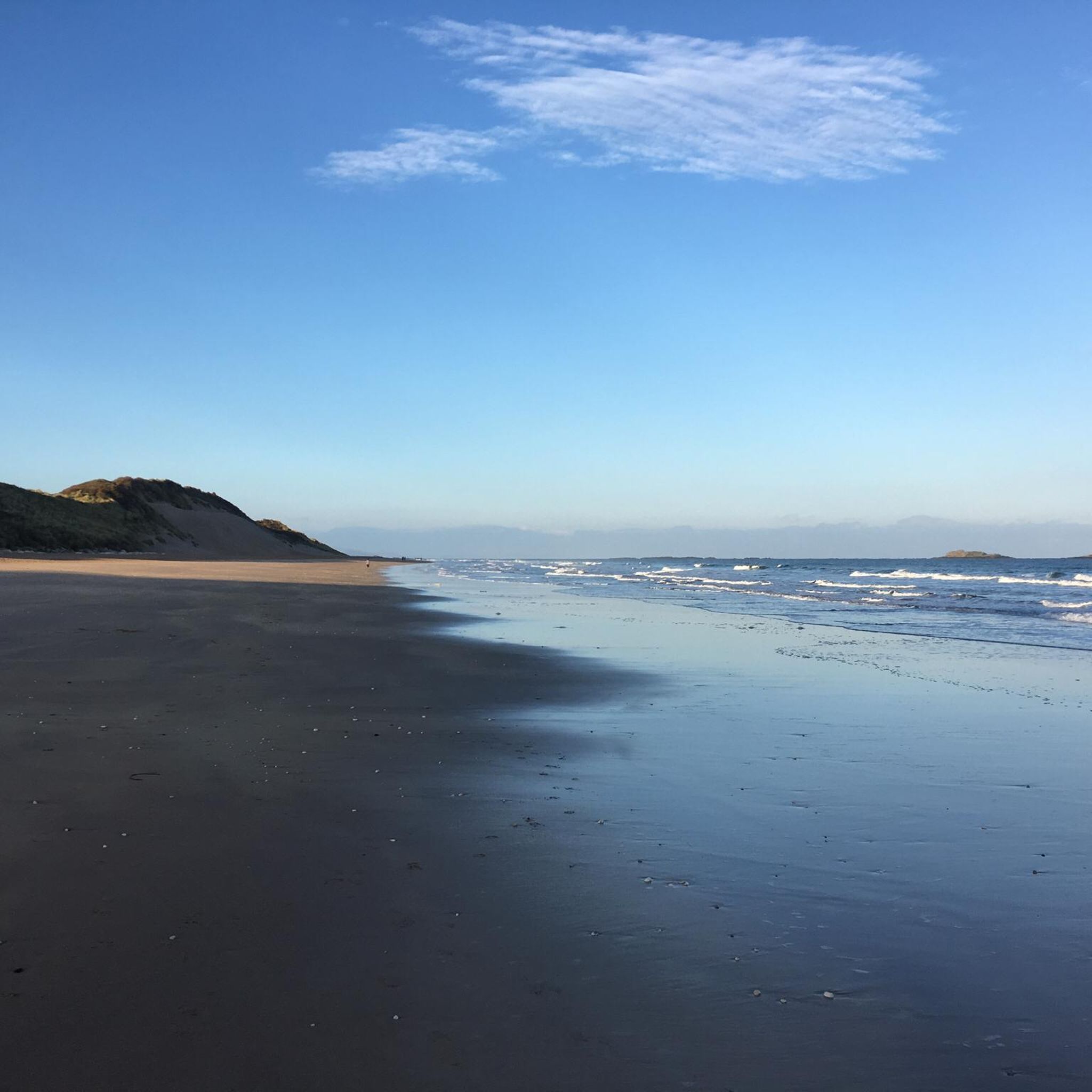
Jogging around Ballykeel offers a variety of routes primarily along the coastline. The region features extensive beaches, cliff paths, and promenades, providing diverse running surfaces. Elevation changes are generally mild, with some routes incorporating low hills and coastal undulations. These paths allow runners to experience the coastal environment of Ballykeel.
Best jogging routes around Ballykeel
- The most popular jogging route is Causeway Coast Way, a 6.4 miles (10.3 km) trail that takes 1 hour 8 minutes to complete. This…
Last updated: November 9, 2026
4.0
(2)
73
runners
10.3km
01:08
70m
70m
Moderate run. Good fitness required. Mostly paved surfaces.
1.0
(1)
433
runners
7.35km
00:51
30m
30m
Moderate run. Good fitness required. Mostly paved surfaces.

49
runners
Moderate run. Good fitness required. Mostly paved surfaces.
27
runners
21.6km
02:17
150m
150m
Hard run. Very good fitness required. Mostly paved surfaces.
21
runners
27.4km
02:58
210m
210m
Hard run. Very good fitness required. Mostly paved surfaces.
Get access to more routes and recommendations from other explorers.
Already have an account?
Our route recommendations are based on thousands of hikes, rides, and runs completed by other people on komoot.

Tips from the Community

A natural wonder! After a volcanic eruption 60 million years ago, the basalt lava contracted as it cooled. The shrinkage caused vertical stress cracks. Through uniform pull from all sides, almost perfect hexagons were formed when it cracked open. The approximately 40,000 basalt columns (some up to 12 m high!) are predominantly hexagonal.
0
0

Wonderful beach with impressive rock formations.
0
0
Beautiful view of the cliffs and Dunluce Castle.
0
0

Impressive views down into the valley and a beautiful view of Dunluce Castle,
2
0

The Giant’s Causeway Visitor Centre is the gateway to Northern Ireland’s only UNESCO World Heritage Site. It has a grass-roofed design to blend into the landscape. Inside you'll find exhibitions on the geology, myths, and history of the Causeway. Toilet facilities, a café and gift shop provide a good base to start from, before stepping out to explore the stones themselves.
1
0

Dunluce Castle in Northern Ireland is an impressive ruin perched on a cliff above the sea. Its dramatic location and rugged rocky landscape lend the castle a special atmosphere. The remains tell a rich history and offer fascinating insights into medieval defensive architecture. The views of the sea and the surrounding nature make a visit an unforgettable experience. Dunluce Castle is a place that combines both history and nature in a striking way.
2
0

De Burgh's castle was primarily a military fortress, notable for its robust defensive features typical of Norman architecture. The design included impressive walls and strategic positioning to take advantage of the natural defensive advantages of the clifftop location.
2
0

Great ice cream cart with coffee specialties and a large selection of toppings
1
1
Frequently Asked Questions
How many running routes are available in Ballykeel?
Ballykeel offers a wide selection of running routes, with over 60 different options to explore. These routes cater to various fitness levels, ranging from easy coastal paths to more challenging trails with varied terrain.
Are there easy running routes suitable for beginners in Ballykeel?
Yes, Ballykeel has several easy running routes perfect for beginners or those looking for a relaxed jog. These routes typically feature mild elevation changes and smooth surfaces, often along the coastline or promenades. You can find 3 easy routes among the total offerings.
What kind of terrain can I expect on running trails in Ballykeel?
Running trails in Ballykeel are primarily defined by its coastal environment. You can expect diverse surfaces including extensive sandy beaches, paved promenades, and scenic cliff paths. While elevation changes are generally mild, some routes incorporate low hills and coastal undulations, offering a varied running experience.
Are there any family-friendly jogging paths in Ballykeel?
Many of Ballykeel's coastal promenades and beach sections are suitable for families, offering flat and accessible surfaces. While specific 'family-friendly' routes aren't explicitly categorized, routes with mild difficulty and easy access are generally good choices for a family outing.
Can I find circular running routes in Ballykeel?
Yes, Ballykeel features several circular running routes that allow you to start and finish in the same location. For example, the East Strand Beach – Whiterocks Cliff Path loop from Portrush is a moderate 4.8-mile (7.7 km) path combining beach running with cliff-top sections, offering a great circular experience.
What are some scenic viewpoints or landmarks I can see while jogging in Ballykeel?
Ballykeel's coastal routes offer numerous scenic views. You can encounter impressive natural formations like the Giant's Causeway and its unique features such as The Organ. The West Strand Promenade – View of Portrush Harbour loop from Portrush also provides excellent harbour views. Additionally, the historic Dunluce Castle Ruins are visible from some trails, such as the Giant's Causeway – Dunluce Castle Ruins loop from Portrush.
What do other runners enjoy most about jogging in Ballykeel?
The running routes in Ballykeel are highly rated by the komoot community, with an average score of 3.5 stars from over 11 reviews. Runners often praise the stunning coastal scenery, the variety of surfaces from sandy beaches to cliff paths, and the opportunity to experience the region's natural beauty while exercising.
Are there any longer, more challenging running routes in Ballykeel?
Yes, for those seeking a greater challenge, Ballykeel offers several longer and more difficult running routes. For instance, the West Strand Promenade – View of Portrush Harbour loop from Portrush is a 12.1-mile (19.5 km) trail with more significant elevation changes, providing a demanding yet rewarding experience. There are 15 difficult routes in total.
Are running routes in Ballykeel suitable for winter jogging?
Many of Ballykeel's coastal paths and promenades remain accessible during winter, offering refreshing runs with crisp sea air. However, conditions can vary, so it's always advisable to check local weather forecasts and trail conditions, especially for exposed cliff paths, and wear appropriate gear for colder, potentially wet weather.
What is the typical duration for running routes in Ballykeel?
The duration of running routes in Ballykeel varies significantly depending on the distance and difficulty. Shorter, easy routes might take less than an hour, while longer, more challenging trails like the Giant's Causeway – Dunluce Castle Ruins loop from Portrush can take over 3 hours to complete.
Are there any running routes that pass by cafes or places to refuel in Ballykeel?
Given Ballykeel's popularity as a coastal destination, many routes that pass through or near towns like Portrush will have access to cafes and eateries. For example, routes along the promenades often have establishments nearby where you can grab a coffee or a snack before or after your run.
What is the best time of year for running in Ballykeel?
The best time of year for running in Ballykeel is generally during the spring and summer months (April to September) when the weather is milder and days are longer. This allows for more comfortable conditions and better visibility of the stunning coastal landscapes. However, the region's beauty can be enjoyed year-round, with autumn and winter offering dramatic scenery.
Most popular routes around Ballykeel
Most popular attractions around Ballykeel
Get inspired with the komoot mobile app


Explore more
Browse the best Running Trails & Routes in other regions.