The best running trails around Burghaslach
4.6
(210)
1,108
runners
14
runs
Jogging routes around Burghaslach traverse a landscape characterized by rolling hills and extensive forests, offering varied terrain for runners. The region, nestled in Middle Franconia, Germany, provides a scenic backdrop for physical activity, with paths winding through natural settings. The presence of the River Aisch suggests potential for flat, accessible routes along its banks. This diverse topography allows for both challenging inclines and more leisurely paths.
Best jogging routes around Burghaslach
- The most popular jogging route is Märzenberg loop from…
Last updated: July 2, 2026
12
runners
11.0km
01:09
60m
60m
Moderate run. Good fitness required. Mostly paved surfaces. Suitable for all skill levels.
8
runners
8.72km
00:56
90m
90m
Moderate run. Good fitness required. Mostly paved surfaces. Suitable for all skill levels.

Sign up for free
5
runners
7.67km
00:56
130m
130m
Moderate run. Good fitness required. Mostly paved surfaces. Suitable for all skill levels.
5
runners
11.5km
01:19
150m
150m
Hard run. Good fitness required. Sure-footedness, sturdy shoes and alpine experience required.
5
runners
11.3km
01:16
160m
160m
Moderate run. Good fitness required. Mostly paved surfaces. Suitable for all skill levels.
Get access to more routes and recommendations from other explorers.
Sign up for free
Already have an account?
Our route recommendations are based on thousands of hikes, rides, and runs completed by other people on komoot.
Start today with a free account
Your next adventure awaits.
Login or Signup
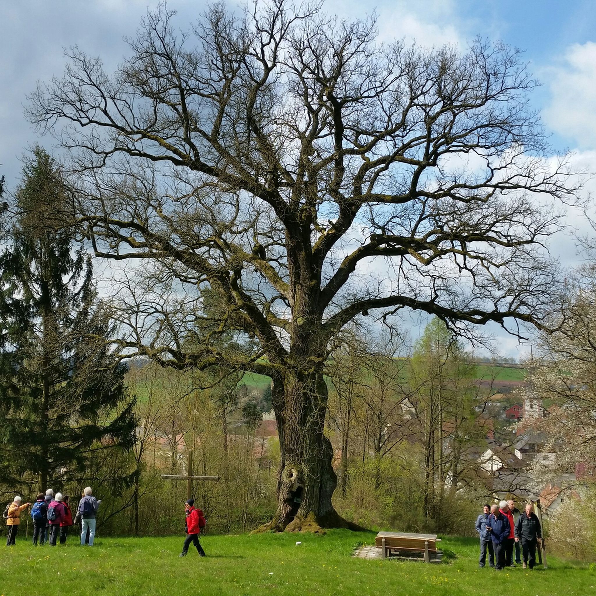

Tips from the Community

great spot - where the three Franconian administrative districts border each other.
0
0


Great places to rest with interesting plaques.
5
0

Very nicely made space around the "meeting point" of Upper, Middle and Lower Franconia. Due to the border corrections carried out in 1972, the square was built here on May 1, 1979 together with the "new three-franc stone". In 2011/2012 the square around the Drei-Franken-Stein was redesigned and is intended to serve as a place to relax and rest for locals as well as excursion guests and hikers.
9
3

The Dreifrankenstein marks the geographical point at which the three Franconian administrative districts of Upper, Middle and Lower Franconia meet.
6
0

As a real Franconian you have to be here once. Nicely made space, also suitable for a rest with tables and benches.
6
0

Good for the calves, twelve degrees Celsius.
1
0

Lots of information about this place on the boards.
4
0
Frequently Asked Questions
How many running routes are available in Burghaslach?
Burghaslach offers a wide selection of running routes, with over 180 trails available. These routes cater to various preferences, from easy paths to more challenging runs with elevation changes.
What kind of terrain can I expect on the running trails around Burghaslach?
The running trails in Burghaslach feature diverse terrain, characterized by rolling hills, lush forests, and scenic riverine paths along the Aisch. This variety provides options for both challenging inclines and more leisurely, flatter sections.
Are there easy running routes suitable for beginners in Burghaslach?
Yes, Burghaslach has a good selection of easy running routes. There are 25 routes specifically categorized as easy, perfect for beginners or those looking for a relaxed jog through the scenic landscape.
Are there any circular running routes in Burghaslach?
Many of the running routes in Burghaslach are designed as loops, offering convenient circular options. For example, the Märzenberg loop from Markt Taschendorf is a popular moderate circular route covering 4.4 miles (7.1 km).
What are some scenic points or natural features to look out for while running?
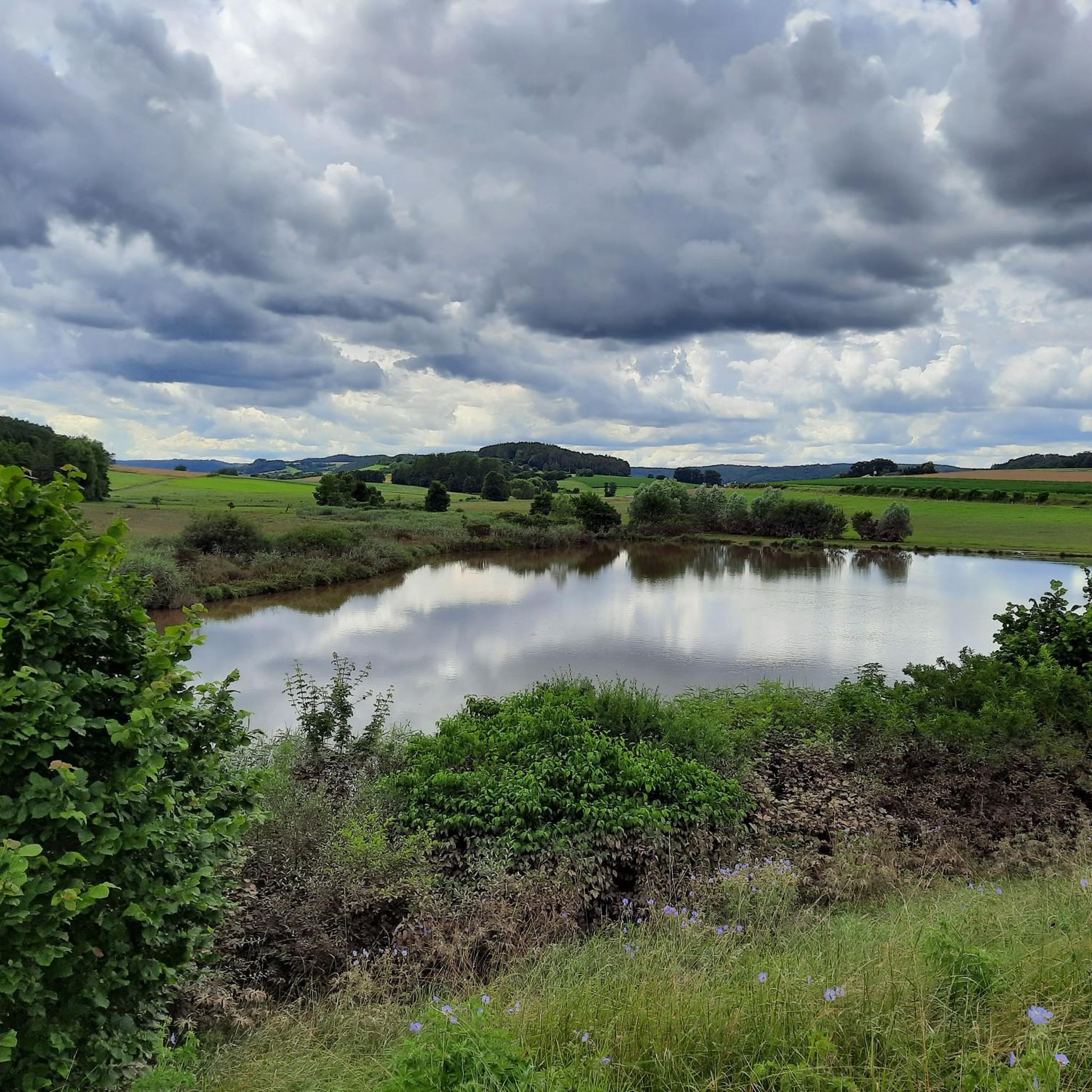
While running in Burghaslach, you can enjoy views of the Steigerwald forest region and potentially run along the River Aisch. The area is rich in natural beauty, including extensive forests and rolling hills. You might also encounter the tranquil Tränksee, a nice lake to rest and cool off.
Are there any dog-friendly running routes in Burghaslach?
Many of the natural trails and forest paths around Burghaslach are suitable for running with dogs, provided they are kept on a leash and local regulations are followed. The extensive network of hiking and cycling routes often doubles as great running paths for you and your canine companion.
Where can I park when accessing running trails in Burghaslach?
Parking is generally available in and around Burghaslach, particularly near trailheads or in village centers like Markt Taschendorf or Aschbach, where many routes begin. It's advisable to check specific starting points for designated parking areas.
Can I access running routes in Burghaslach using public transport?
While Burghaslach is primarily accessed by car, some villages that serve as starting points for running routes may have limited public transport connections. For example, routes like the Running loop from Aschbach might be accessible via local bus services, though schedules should be checked in advance.
What do other runners say about the trails in Burghaslach?
The running trails in Burghaslach are highly regarded by the komoot community, boasting an average rating of 4.7 stars from over 200 reviews. Runners frequently praise the varied terrain, scenic beauty, and the well-maintained paths that wind through forests and hills.
Are there any longer distance running trails near Burghaslach for advanced runners?
For advanced runners seeking longer distances, Burghaslach offers routes that extend up to 6.5 miles (10.4 km) or more. The Galgenberg loop from Aschbach is a moderate 6.5-mile trail that leads through rolling hills and forested areas, providing a good challenge.
Are there any cafes or pubs near the running routes in Burghaslach?
After a run, you can find cafes and pubs in the main town of Burghaslach and surrounding villages. These establishments offer opportunities to refuel and relax, often providing local Franconian hospitality.
What is the best time of year for running in Burghaslach?
The best time for running in Burghaslach is generally during spring, summer, and early autumn when the weather is mild and the natural scenery is at its most vibrant. The lush forests and open landscapes are particularly inviting during these seasons.
Most popular routes around Burghaslach
Most popular attractions around Burghaslach

Get inspired with the komoot mobile app


Explore more
Browse the best Running Trails & Routes in other regions.
