The best cycling routes around Carnlougherin
4.4
(35)
434
riders
48
rides
Touring cycling routes around Carnlougherin are situated along Northern Ireland's Antrim Coast, offering diverse landscapes for cyclists. The region is characterized by rugged coastal terrain, providing unparalleled views of the sea, and serves as a gateway to the Glens of Antrim with their lush, rolling hills. Cyclists can expect a mix of coastal paths and routes through verdant valleys, with some areas featuring challenging climbs and scenic descents. The area's natural features, including Carnlough Bay and Garron Point, contribute to…
Last updated: July 11, 2026
6
riders
28.4km
01:50
110m
110m
The Loughshore trail route 2 — Moira loop offers an inviting and generally accessible touring bicycle ride through scenic Northern Irish landscapes. This easy 17.7-mile (28.4 km) loop, with a…
4.0
(1)
4
riders
30.5km
01:59
140m
140m
Cycle the easy Loughshore Trail Route 2 - Moira Loop, a 18.9-mile route through tranquil County Antrim with views of Lough Neagh.

Sign up for free
1
riders
50.3km
03:09
420m
420m
Moderate bike ride. Good fitness required. Mostly paved surfaces. Suitable for all skill levels.
4.6
(5)
55
riders
73.2km
04:15
300m
300m
Moderate bike ride. Good fitness required. Mostly paved surfaces. Suitable for all skill levels.
7
riders
53.7km
03:11
250m
250m
Moderate bike ride. Good fitness required. Mostly paved surfaces. Suitable for all skill levels.
Get access to more routes and recommendations from other explorers.
Sign up for free
Already have an account?
Our route recommendations are based on thousands of hikes, rides, and runs completed by other people on komoot.
Start today with a free account
Your next adventure awaits.
Login or Signup


Tips from the Community

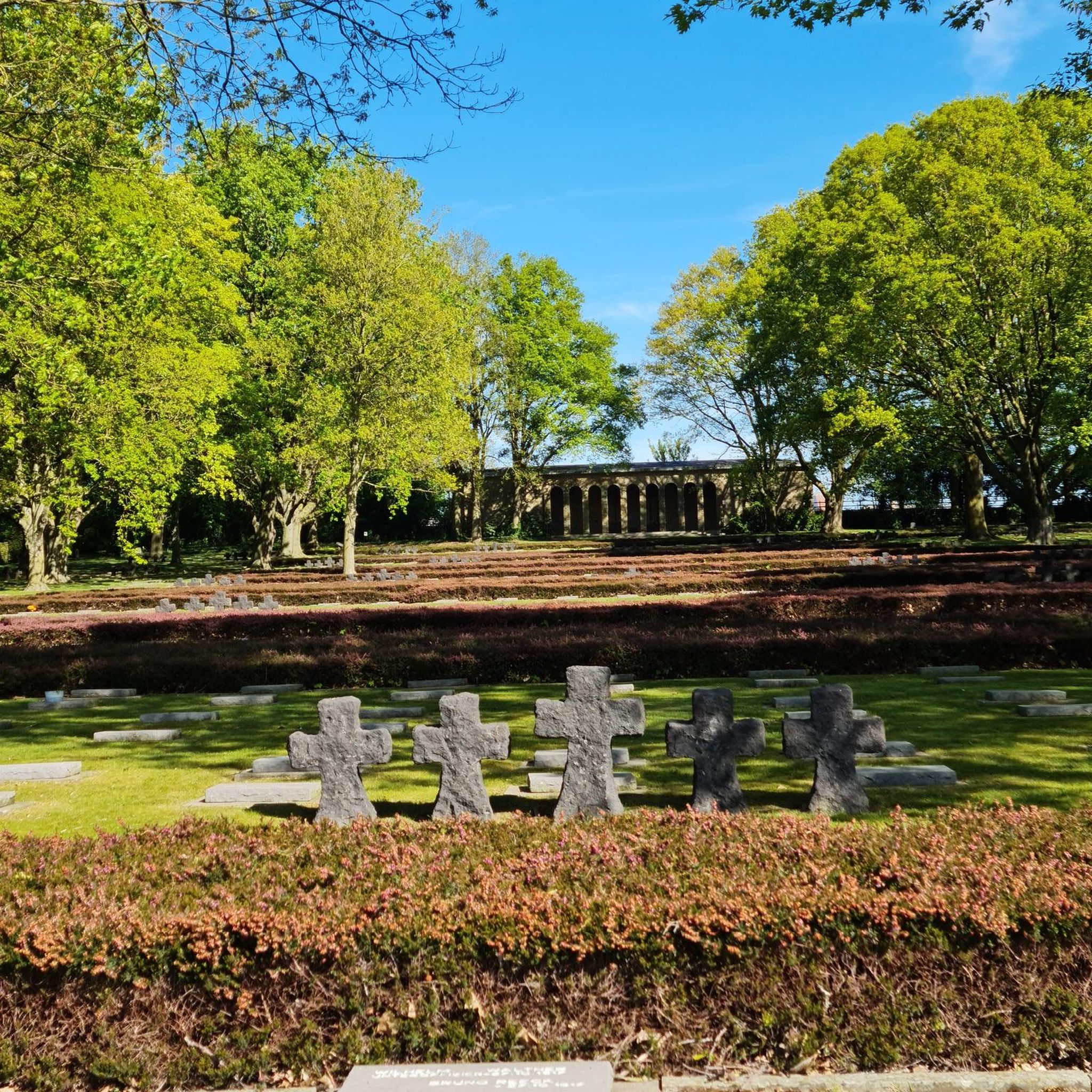
The entrance to Lisnamintry Rath (located on Ballygargan Road, near Portadown) is the gateway to one of the few officially protected archaeological monuments in this part of County Armagh. A rath is an early medieval fortified farmstead (c. 500–1000 AD) that formerly offered protection to families and their livestock against raiders. Not visible from the road.
1
0

If your Crashing at the Campsite this is a quick walk away for a Pint 'n' Grub or just passing '2 Derryola Bridge Rd, Aghalee, Craigavon BT67 0DJ' '02892651764'
0
0
somewhere to drop a tent or bivvy if needed if your doing the whole lough loop plus a pub 5 min walk away a pint 'n' Grub if needed :). Fair Acres Campsite '1C Boghead Bridge Rd, Aghalee, Craigavon BT67 0DL' '07710744989' Toilet and shower facilities for reviews see site- https://www.ukcampsite.co.uk/sites/reviews.asp?revid=15198
1
0

Cycle and pedestrian bridge over the Lagan
1
0

The bridge is named after Captain John Shaw of Oliver Cromwell's army, who built an oak bridge here in 1655. A stone bridge was built by Thomas Burgh in 1691, although this was destroyed by flooding, which led to it being replaced by the present bridge in 1709.
3
0


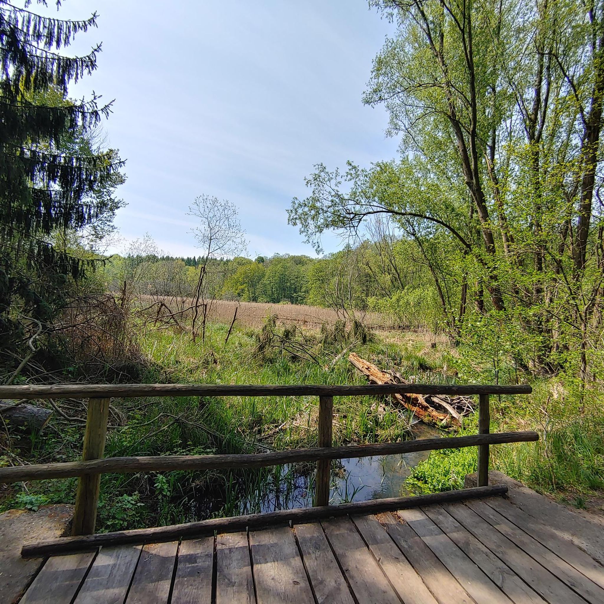
The path, which is part of National Cycle Route 9, offers a peaceful atmosphere that is ideal for relaxed bike rides - but walkers, joggers and dog owners also appreciate the route. The contrast between the quiet river and the partially flooded sections that can appear after heavy rain is particularly exciting. Sometimes the path leads directly to the water, and it almost seems as if the Lagan wants to reclaim a bit more space. The trees are reflected in the calm waters, which creates an almost mystical atmosphere in cloudy weather. Another highlight are the small, branching mountain bike trails that bring a bit of adventure to the tour. If you want a change and don't just want to follow the river, these trails offer a welcome change.
1
0
The path, which is part of National Cycle Route 9, offers a peaceful atmosphere that is ideal for relaxed bike rides - but walkers, joggers and dog owners also appreciate the route. The contrast between the quiet river and the partially flooded sections that can appear after heavy rain is particularly exciting. Sometimes the path leads directly to the water and it almost seems as if the Lagan wants to reclaim a bit more space. The trees are reflected in the calm waters, which creates an almost mystical atmosphere in cloudy weather. Another highlight are the small, branching mountain bike trails that bring a bit of adventure to the tour. If you want a change and don't just want to follow the river, these trails offer a welcome change.
0
0
Frequently Asked Questions
How many touring cycling routes are available around Carnlougherin?
There are over 50 touring cycling routes around Carnlougherin, catering to various skill levels. You'll find a good mix of easy, moderate, and challenging options to explore the Antrim Coast and Glens.
What kind of terrain can I expect on touring cycling routes in Carnlougherin?
The terrain around Carnlougherin offers a diverse cycling experience. You can expect rugged coastal paths with stunning sea views, as well as routes through the verdant Glens of Antrim, which feature rolling hills, challenging climbs, and scenic descents. Riverside paths are also part of the network.
Are there any easy touring cycling routes suitable for beginners or a relaxed ride?
Yes, Carnlougherin offers several easy touring cycling routes. One popular option is the Loughshore trail route 2 — Moira loop, which is an easy 17.7-mile (28.4 km) ride along the loughshore. Another easy route is the Loughshore Trail Route 2 - Moira Loop, covering 18.9 miles (30.5 km).
What are some moderate touring cycling routes for those looking for a bit more challenge?
For a moderate challenge, consider the Moira to Lisnamintry loop, a 31.3-mile (50.3 km) path offering varied terrain through the local countryside. Another great moderate option is the Shaw's Bridge – Lagan Towpath loop from Moira, which is 45.8 miles (73.7 km) and follows scenic riverside paths.
What natural attractions can I see while cycling around Carnlougherin?
Carnlougherin is situated on the stunning Antrim Coast, offering views of Carnlough Bay and Garron Point. You can also explore the nearby Cranny Waterfall & Quarry Walk. The region is a gateway to the Glens of Antrim, and its convenient location provides access to iconic sites like the Giant's Causeway, Cushendun Caves, The Dark Hedges, and the waterfalls of Glenariff Forest Park.
Are there any historical or cultural landmarks to visit near the cycling routes?
Yes, you can visit Carnlough Harbour, a charming focal point of the village. Nearby, Glenarm Castle boasts nationally recognized walled gardens, offering a picturesque detour. For local history, the Heritage Hub at Carnlough Town Hall provides insights into the area's heritage.
What do other touring cyclists say about the routes in Carnlougherin?
The touring cycling routes in Carnlougherin are highly rated by the komoot community, with an average score of 4.5 stars from over 35 reviews. Cyclists often praise the diverse landscapes, from rugged coastal views to the lush Glens of Antrim, and the variety of routes available for all skill levels.
Are there any longer touring cycling routes for experienced cyclists?
For a longer ride, the Lough Neagh Shoreline – Bartin's Bay loop from Moira is a moderate 33.4-mile (53.7 km) route that provides an extended exploration of the area's natural beauty.
What is the best time of year to go touring cycling in Carnlougherin?
While specific weather conditions vary, the spring and summer months generally offer more favorable weather for touring cycling along the Antrim Coast, with milder temperatures and longer daylight hours. However, the rugged beauty of the region can be enjoyed in all seasons, with appropriate gear.
Are there options for water activities near the cycling routes?
Yes, the area around Carnlougherin caters to various water sports. You can find opportunities for kayaking, paddleboarding, fishing, and diving in Carnlough Bay and along the Antrim Coast, adding another dimension to your outdoor adventure.
Can I find circular touring cycling routes in Carnlougherin?
Many of the touring cycling routes around Carnlougherin are designed as loops, allowing you to start and finish in the same location. Examples include the Loughshore trail route 2 — Moira loop and the Moira to Lisnamintry loop, providing convenient options for your ride.

Get inspired with the komoot mobile app


Explore more
Browse the best Cycling routes in other regions.
