The best walks and hikes around Loughrelisk
4.5
(12)
88
hikers
6
hikes
Hikes around Loughrelisk explore the landscape of County Antrim, characterized by gentle riverside paths, pastoral fields, and tranquil waterways. The region is part of the Lagan Valley, offering a network of generally flat trails with minimal elevation gain. These routes often follow former canal towpaths and wind through small parks and rural scenery, making them accessible for various fitness levels.
Best hiking trails around Loughrelisk
- The most popular hiking route is Broad Water Cycle Path – Broad Water Riverside Path…
Last updated: June 27, 2026
5.0
(4)
18
hikers
Moderate hike. Good fitness required. Easily-accessible paths. Suitable for all skill levels.
5.0
(1)
15
hikers
5.15km
01:18
10m
10m
Easy hike. Great for any fitness level. Easily-accessible paths. Suitable for all skill levels.

Sign up for free
3.0
(1)
7
hikers
1.25km
00:19
10m
10m
Easy hike. Great for any fitness level. Easily-accessible paths. Suitable for all skill levels.
4
hikers
8.93km
02:22
90m
90m
Moderate hike. Good fitness required. Easily-accessible paths. Suitable for all skill levels.
4
hikers
7.38km
01:54
40m
40m
Easy hike. Great for any fitness level. Easily-accessible paths. Suitable for all skill levels.
Our route recommendations are based on thousands of hikes, rides, and runs completed by other people on komoot.
Start today with a free account
Your next adventure awaits.
Login or Signup
Popular around Loughrelisk

Tips from the Community

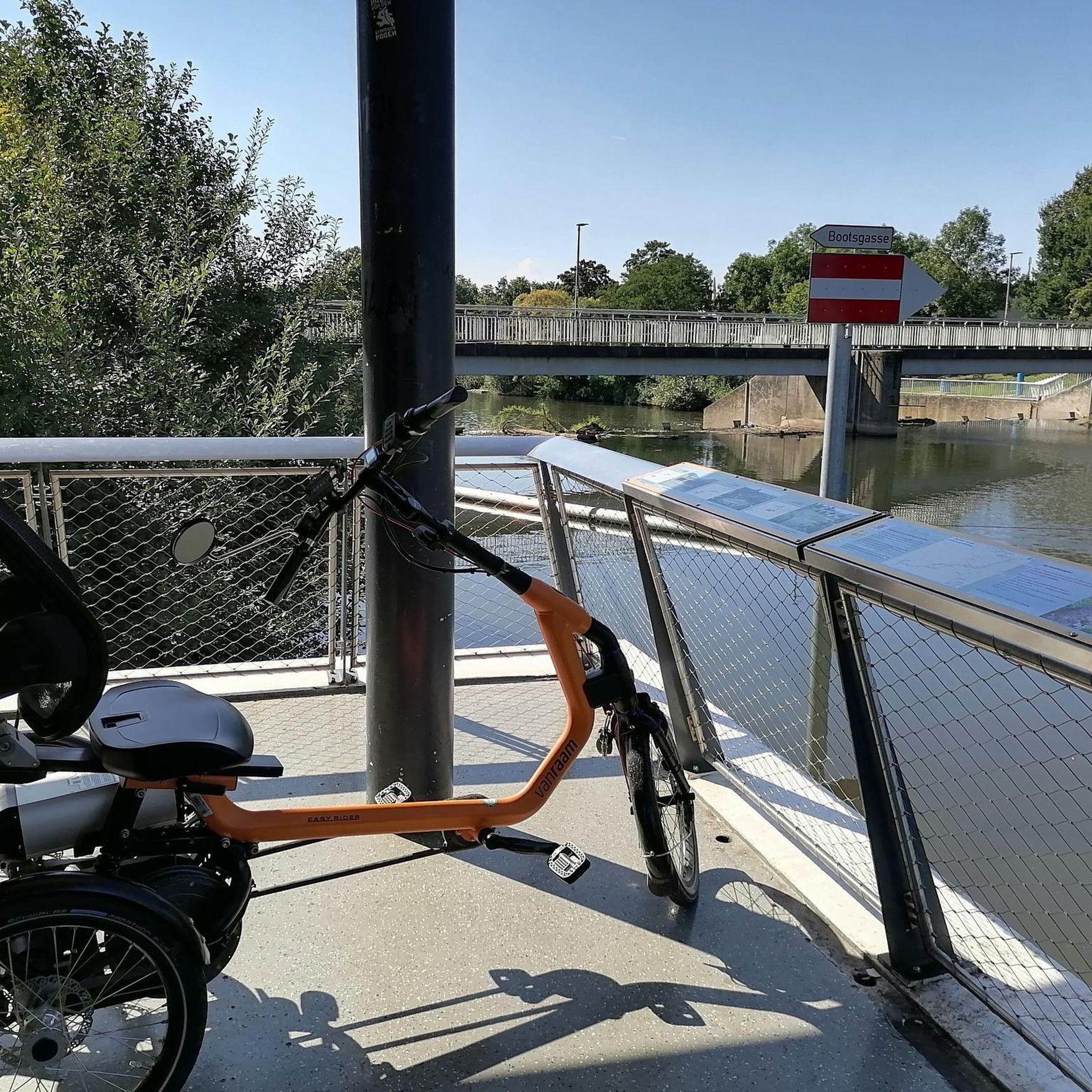
This meandering bicycle path glides on through from the station, you get a chance to catch a moment, get into your rhythm by the waters edge.
1
0

Frequently Asked Questions
Are there any easy, family-friendly hikes around Loughrelisk?
Yes, the area is well-suited for families. The trails are generally flat with minimal elevation gain. A great option is the Pastoral Fields of Aghagallon loop from Aghagallon, which is an easy walk through rural scenery. Many routes follow canal towpaths, which are perfect for walkers of all ages.
Can I bring my dog on the trails?
Most trails in the Loughrelisk area, especially the open towpaths and park trails, are suitable for walking with a dog. It's always best to keep them on a leash, particularly in areas with wildlife or near farmland. Be aware that facilities like dog waste bins may not be available on all routes, such as at Rea's Wood, so please be prepared to take all waste with you.
What is the terrain like on the hikes?
The landscape around Loughrelisk is defined by its gentle and accessible terrain. You can expect to find well-maintained, flat towpaths along the former Lagan Canal, tree-lined paths through local parks, and routes across pastoral fields. There is very little steep climbing involved, making it a relaxing hiking destination.
Are there many circular walks available?
Many of the best walks in the area are loops, allowing you to start and finish in the same place without retracing your steps. For a very short and easy circular walk, consider the Hiking loop from Lower Ballinderry. The region's network of paths offers numerous opportunities to create your own circular routes.
What are some popular places for hiking near Loughrelisk?
Besides the main trails, there are several popular spots for walking. Rea's Wood is a beautiful forest trail popular for its wildlife. The Toome Canal Walk is another highly-regarded option, offering amazing views, especially in different seasons. For a more rugged experience, the National Trust Lisnabreeny Cregagh Glen offers a beautiful trail through a glen, forest, and meadow.
What do other hikers say about the trails around Loughrelisk?
The trails are highly rated by the komoot community, with an average score of 4.5 stars. Hikers often praise the peaceful atmosphere of the waterways, the well-maintained towpaths, and the abundance of birdwatching opportunities along the Broad Water and River Lagan.
How do I get to the trailheads using public transport?
Many trailheads are accessible from towns with good public transport links. For example, several routes start in Moira, which has a train station connecting to Belfast and Lisburn. From there, it's often a short walk to the start of a trail like the Broadwater path. Always check local bus and train schedules for the most current information.
What should I pack for a hike in this area?
For most hikes around Loughrelisk, comfortable walking shoes are sufficient as the terrain is mostly flat. The weather can be changeable, so a waterproof jacket is always a good idea. Also, bring water and some snacks, as services can be sparse along the rural sections of the trails.
Is there parking available at the start of the hikes?
Parking availability varies. For trails starting in towns like Moira or Lisburn, you can usually find public car parks. However, for more remote trailheads or nature reserves like the National Trust Lisnabreeny Cregagh Glen, parking can be limited or non-existent. It's best to plan ahead and consider arriving early or using public transport.
What is the Lagan Valley Area of Outstanding Natural Beauty (AONB)?
Much of the hiking in this region is within the Lagan Valley AONB. This designation protects the area's significant natural and cultural heritage, which includes the picturesque riverbanks, lush meadows, and woodlands you'll walk through. The historic Lagan Canal towpath is a key feature of the AONB.
Are there any challenging or difficult hikes in the Loughrelisk area?
No, the region is not known for difficult or mountainous hiking. All the curated routes are rated as easy or moderate. The focus here is on gentle, scenic walks rather than strenuous climbs, with elevation gain being minimal across all trails.
Most popular routes around Loughrelisk

Get inspired with the komoot mobile app


Explore more
Browse the best Hikes in other regions.
