The best cycling routes around Mount Sandel
4.9
(13)
173
riders
15
rides
Touring cycling around Mount Sandel offers routes through a landscape characterized by its position on the eastern bank of the lower River Bann. The area features a prominent sandy bluff rising approximately 30 meters above the river, providing elevated views. Mixed forests and riverside paths define the natural environment, with some routes incorporating these features. The terrain includes both high and low-level paths, with some sections being gravelled.
Best touring cycling routes around Mount Sandel
- The most popular touring cycling…
Last updated: June 25, 2026
61.4km
04:15
800m
800m
Hard bike ride. Very good fitness required. You may need to push your bike for some segments of this route.
5.0
(2)
35
riders
15.5km
00:58
120m
120m
Easy bike ride. Great for any fitness level. Mostly paved surfaces. Suitable for all skill levels.

Sign up for free
5.0
(2)
24
riders
30.3km
01:50
200m
200m
Moderate bike ride. Good fitness required. Mostly paved surfaces. Suitable for all skill levels.
5
riders
13.3km
00:48
110m
110m
Easy bike ride. Great for any fitness level. Mostly paved surfaces. Suitable for all skill levels.
5.0
(1)
4
riders
26.4km
01:33
140m
140m
Easy bike ride. Great for any fitness level. Mostly paved surfaces. Suitable for all skill levels.
Get access to more routes and recommendations from other explorers.
Sign up for free
Already have an account?
Our route recommendations are based on thousands of hikes, rides, and runs completed by other people on komoot.
Start today with a free account
Your next adventure awaits.
Login or Signup
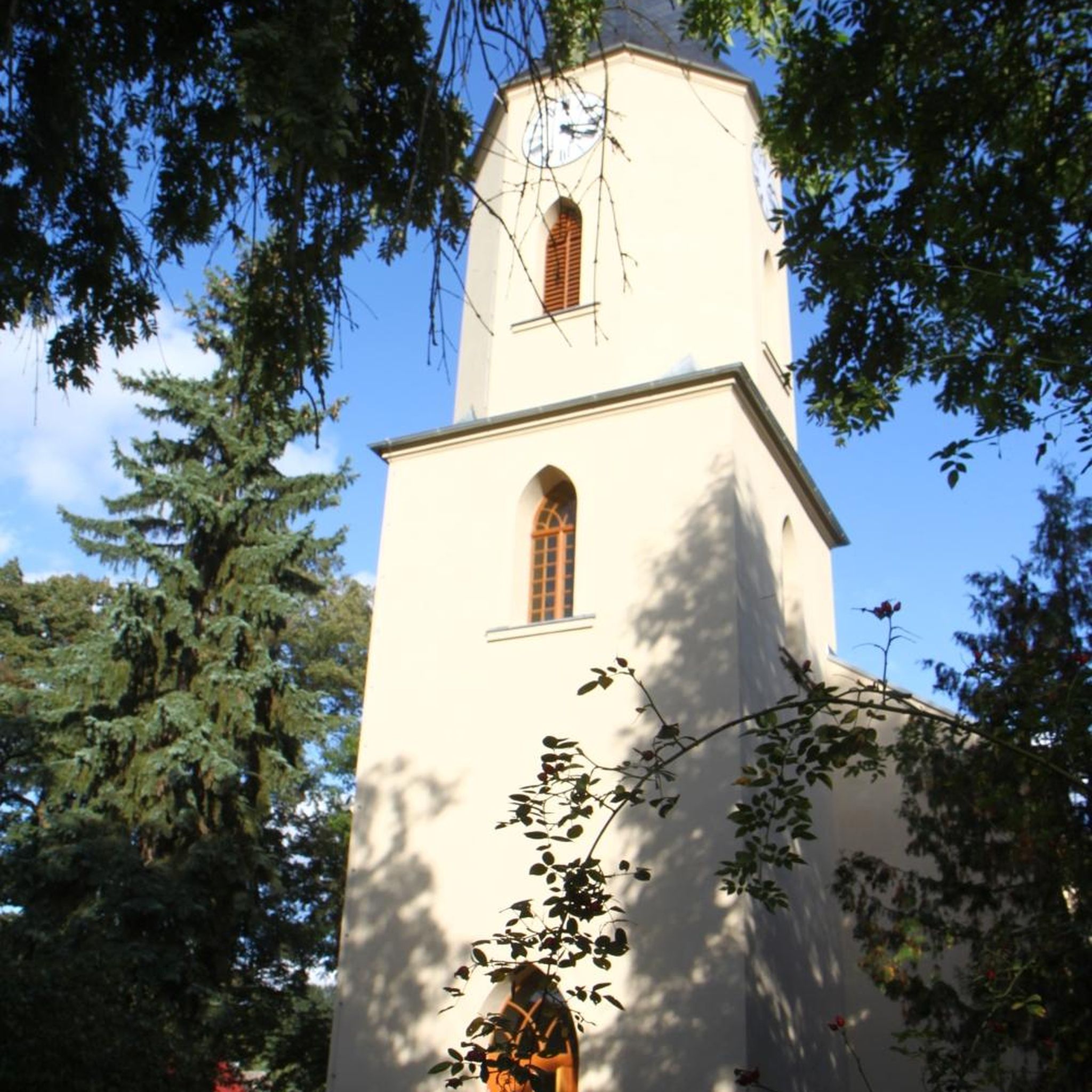
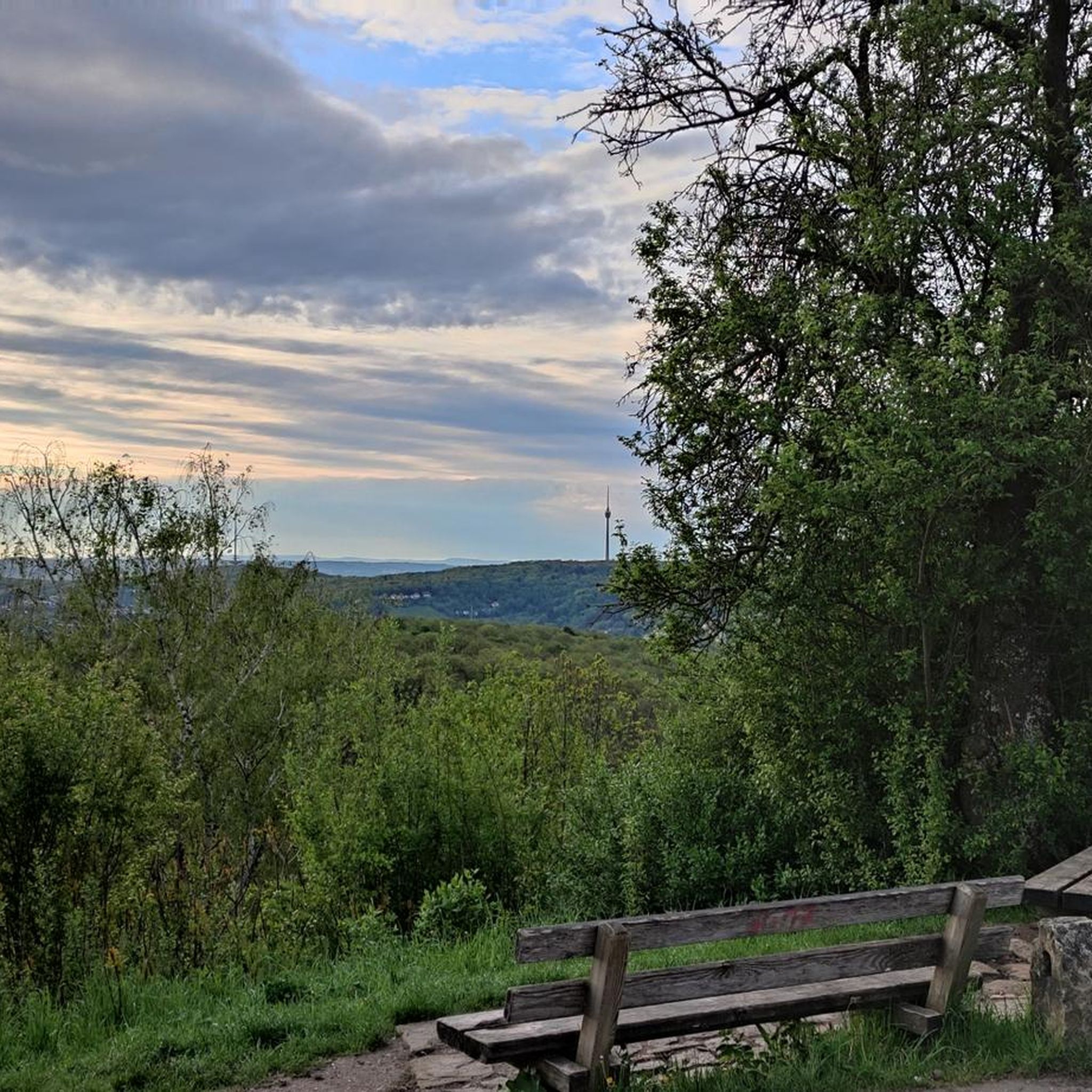
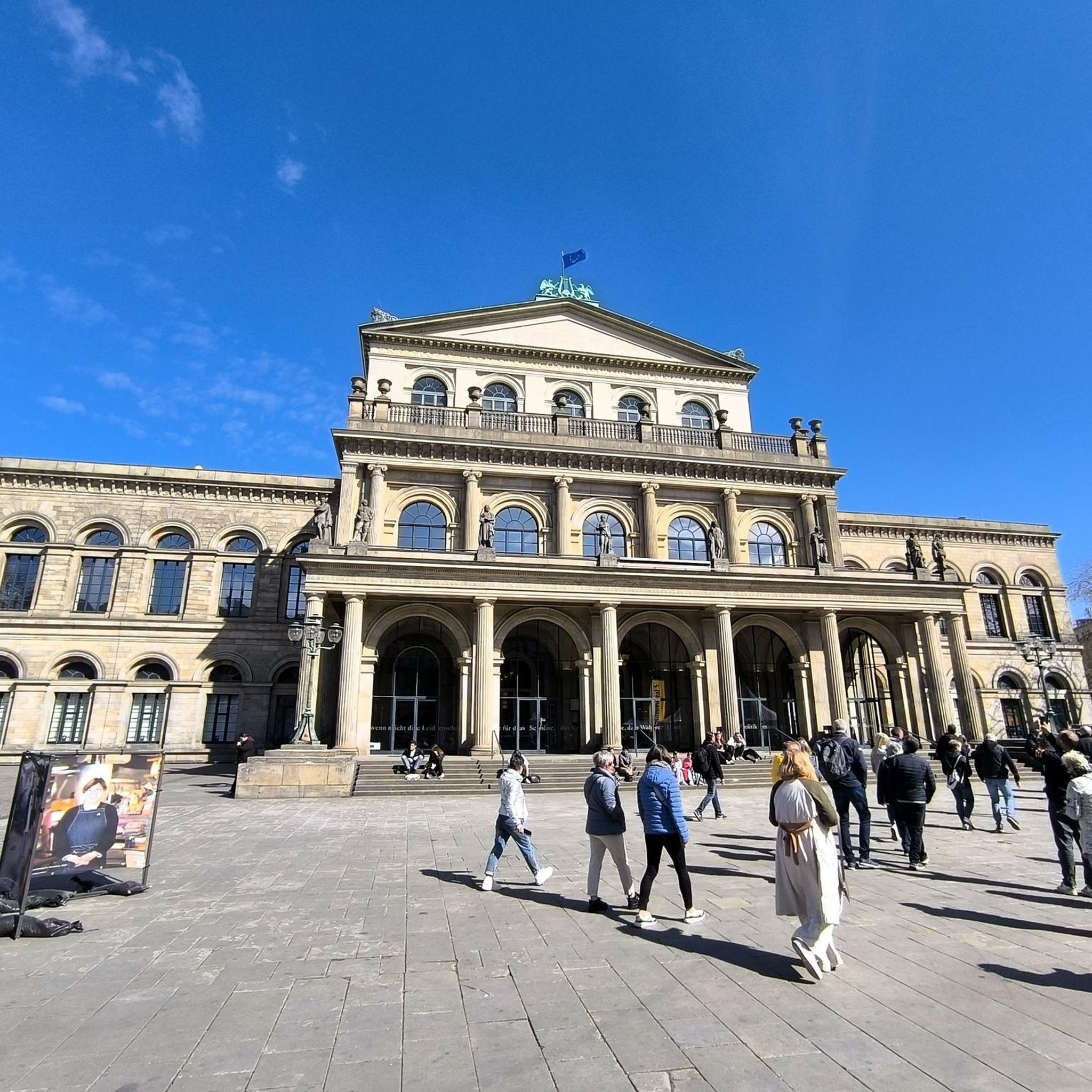
Tips from the Community


Beautiful walk along the seafront, overlooking the town, the beach and the cliffs in the distance. Lots of shops and restaurants nearby.
1
0

Enjoy a jog along the paved, flat Portrush Harbour, where you can take pleasure in scenes of bobbing boats and the beautiful North Atlantic Ocean.
2
0
West Strand Promenade is a wonderful attraction located along the famous Causeway Coast. You can enjoy picturesque surroundings along with a number cafés, restaurants, and shops
2
0

Binevenagh is a mountain in Londonderry. It marks the western extent of the Antrim Plateau and has a magnificent view at the top.
1
0
Go and see this unique building before it falls into the sea! Coastal erosion has brought the temple very close to the edge of the cliff.
1
0

Frequently Asked Questions
How many touring cycling routes are available around Mount Sandel?
There are 15 touring cycling routes available around Mount Sandel on komoot. These routes cater to various skill levels, including 6 easy, 8 moderate, and 1 difficult option.
What types of landscapes can I expect to see while touring cycling near Mount Sandel?
Touring cycling routes around Mount Sandel offer a diverse range of landscapes. You'll find paths along the lower River Bann, through mixed forests, and some routes extend to coastal areas and promenades. The region is characterized by its prominent sandy bluff rising above the river, offering elevated views.
Are there any easy touring cycling routes suitable for beginners or families?
Yes, Mount Sandel offers several easy touring cycling routes perfect for beginners or families. An excellent option is the View of Portrush Harbour – Portstewart Promenade loop from Portstewart, which is 9.7 miles (15.6 km) long and offers scenic views. Another easy route is The Boatyard Coffee Shop – View of the River loop from Causeway Hospital, covering 26.4 km.
What are some challenging touring cycling routes in the Mount Sandel area?
For experienced touring cyclists seeking a challenge, the Binevenagh loop from Coleraine – Binevenagh is a difficult route. It spans 38.1 miles (61.4 km) and includes significant elevation gain, particularly towards Binevenagh, making it a demanding ride.
What historical or natural attractions can I explore along the cycling routes?
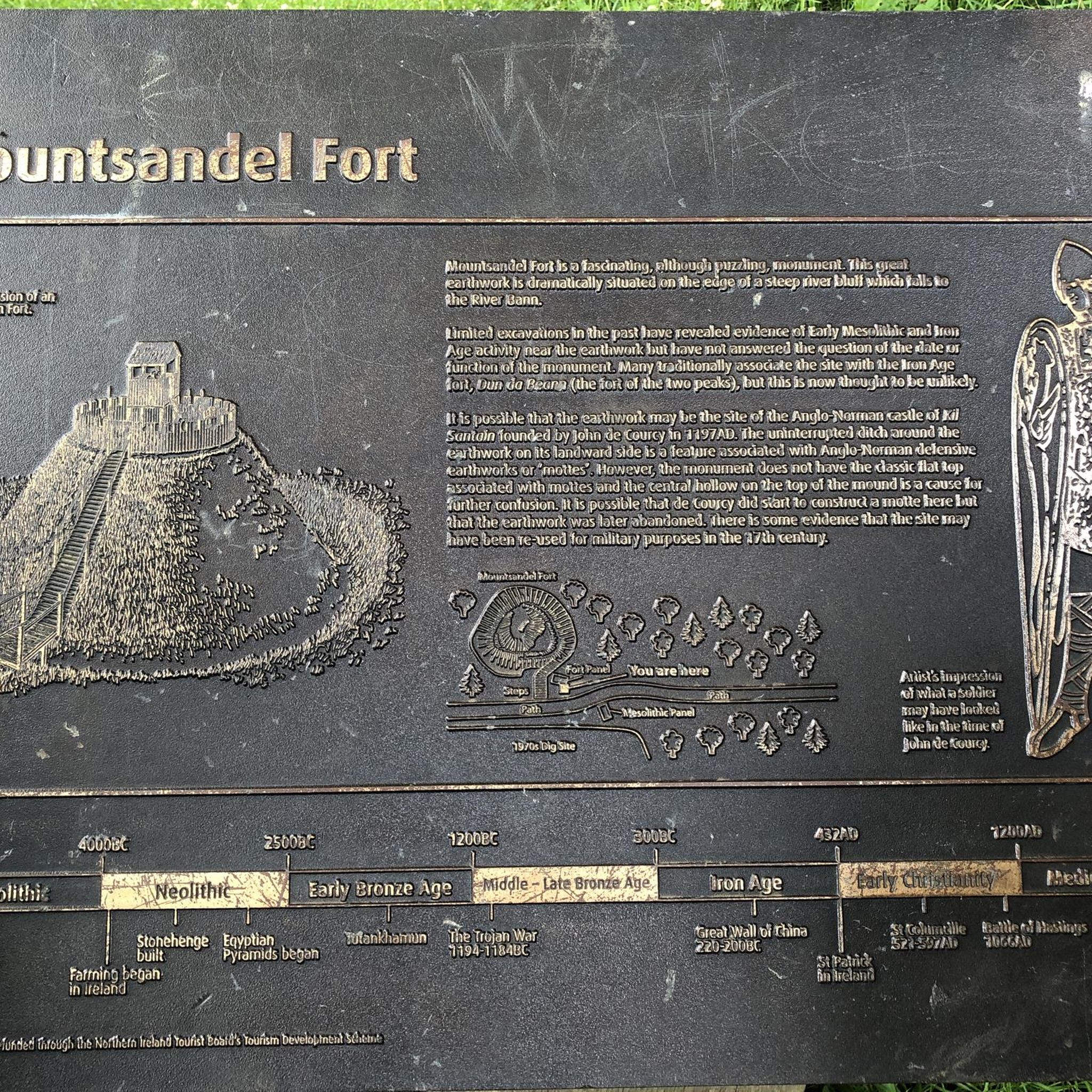
The Mount Sandel area is rich in history and natural beauty. You can explore the ancient Mount Sandel Fort, an Anglo-Norman construction, or visit the Mesolithic Site, which holds the earliest evidence of human settlement in Ireland. Along the wider routes, you might encounter natural highlights such as East Strand Beach, West Strand Promenade, and Portrush National Nature Reserve.
Are there any circular touring cycling routes around Mount Sandel?
Yes, many of the touring cycling routes around Mount Sandel are designed as loops. For example, the Portstewart Promenade – View of Portrush Harbour loop from Coleraine offers a moderate 18.8 miles (30.3 km) circular ride through coastal areas. Within Mount Sandel Wood itself, the high and low-level paths can be combined to form shorter circular routes.
What is the best season for touring cycling in Mount Sandel?
The best season for touring cycling in Mount Sandel is generally from spring through autumn when the weather is milder and conditions are more favorable. While some paths are mostly flat, the lower path along the River Bann in Mount Sandel Wood can be prone to flooding in very wet conditions, so it's advisable to check local weather before heading out, especially in winter.
What do other touring cyclists say about the routes in Mount Sandel?
The touring cycling routes in Mount Sandel are highly rated by the komoot community, with an average score of 4.9 stars from over 10 reviews. Cyclists often praise the varied terrain, from serene riverside paths to coastal promenades, and the opportunities to explore both natural beauty and historical sites.
Are there opportunities for wildlife spotting while cycling?
Yes, the riverside setting of Mount Sandel, particularly along the River Bann, is home to various wildlife. Cyclists might spot Mute Swans, Kingfishers, and Grey Herons, adding to the natural charm of the routes. The mixed forests also provide habitats for other local species.
Where can I find parking for touring cycling routes near Mount Sandel?
While specific parking details for every route vary, Mount Sandel Wood itself is located about a mile south-east of Coleraine, suggesting parking facilities would be available in the vicinity or within Coleraine. For routes extending to coastal areas, locations like Castlerock Beach are known to have parking options.
Are the touring cycling routes in Mount Sandel suitable for dogs?
While the guide focuses on cycling, Mount Sandel Wood itself is a popular area for walks, and many outdoor spaces in Northern Ireland are dog-friendly. If cycling with a dog, it's best to ensure they are well-behaved and kept on a leash, especially in areas with wildlife or other visitors. Always check specific route regulations regarding dogs.
Are there any cafes or refreshment stops along the touring cycling routes?
Many routes around Mount Sandel connect to nearby towns and coastal areas like Portstewart and Portrush, which offer various cafes and refreshment stops. For instance, one route is named The Boatyard Coffee Shop – View of the River loop from Causeway Hospital, indicating a specific cafe as a point of interest or starting point.
Most popular attractions around Mount Sandel

Get inspired with the komoot mobile app


Explore more
Browse the best Cycling routes in other regions.
