The best running trails around Kühlenthal
4.5
(143)
2,670
runners
442
runs
Jogging around Kühlenthal offers access to natural landscapes and a network of running trails within the Landkreis Augsburg region. The area features soft forest paths and gravel trails, providing shaded and comfortable surfaces for runners. The terrain is generally gentle, with minimal elevation changes, making it suitable for various fitness levels. Green spaces and open fields characterize the routes, with some paths near water bodies like the Schmutter River.
Best jogging routes around Kühlenthal
- The most popular jogging route is…
Last updated: July 5, 2026
5.0
(1)
23
runners
5.77km
00:36
20m
20m
Moderate run. Good fitness required. Mostly paved surfaces. Suitable for all skill levels.
11
runners
Moderate run. Good fitness required. Mostly paved surfaces. Suitable for all skill levels.

Sign up for free
8
runners
10.7km
01:08
20m
20m
Moderate run. Good fitness required. Mostly paved surfaces. Suitable for all skill levels.
7
runners
Moderate run. Good fitness required. Mostly paved surfaces. Suitable for all skill levels.
4
runners
4.17km
00:26
10m
10m
Easy run. Great for any fitness level. Mostly paved surfaces. Suitable for all skill levels.
Get access to more routes and recommendations from other explorers.
Sign up for free
Already have an account?
Our route recommendations are based on thousands of hikes, rides, and runs completed by other people on komoot.
Start today with a free account
Your next adventure awaits.
Login or Signup
Tips from the Community

Nordendorf Station – History and Transformation Nordendorf Station is one of the oldest stations on the Augsburg–Donauwörth railway line and was a key factor in the town's development for many decades. The station building is considered one of the oldest still standing along this section of the line and for a long time marked the "gateway" to the town. After standing empty and increasingly dilapidated for years, the municipality of Nordendorf acquired the station site in 2020 to be able to shape its future use. Since then, concepts for the redesign and revitalization of this historic site have been under discussion – including within the framework of a student ideas competition. Thus, the station now symbolizes the transformation of many small railway stations: from a once central transportation hub to a place where history, local development, and future planning converge. Sources & further information: • History of the railway station (Municipality of Nordendorf) https://www.nordendorf.de/index.php/gemeinde/dorfgeschichte/bahnhof • Report on the acquisition of the station building (Augsburger Allgemeine) https://www.augsburger-allgemeine.de/augsburg-land/Nordendorf-Nordendorfer-Schandfleck-Gemeinde-kauft-verfallenen-Bahnhof-id58319826.html • Ideas competition for the redesign of the station area (TH Augsburg) https://www.tha.de/Architektur-und-Bauwesen/Nordendorf-verleiht-Preis-an-Studierende.html
0
0

Built in the 14th century as a hilltop castle
0
0

Markt Castle: The remains of Markt Castle rise above the Markt district, on a ridge that slopes down on three sides. The castle was first documented in the 14th century, but the oldest surviving parts of the building date back to 1525, when the Fugger family had it rebuilt as a palace.
1
0

See the wonders in the field, praise the creator of nature.
1
0

Markt Castle, also called Fugger Castle, is located above Schmutter and the town of Markt. The Way of St. James leads past the entrance of the castle. The listed complex consists of the eastern castle around the keep and the front (western) castle with the Onoldsbacher tower. The castle was probably built in the 14th century and belonged to the rule of the Rechbergers, then the Pappenheimers. The castle was acquired by Jakob Fugger in 1508 and rebuilt as a palace in 1525. The castle chapel of St. John the Baptist from 1738 is part of the complex.
4
0


Castle of market
2
1
Frequently Asked Questions
How many running routes are available around Kühlenthal?
There are over 440 running routes around Kühlenthal listed on komoot, offering a wide variety of options for joggers of all levels.
What kind of terrain can I expect on the running trails in Kühlenthal?
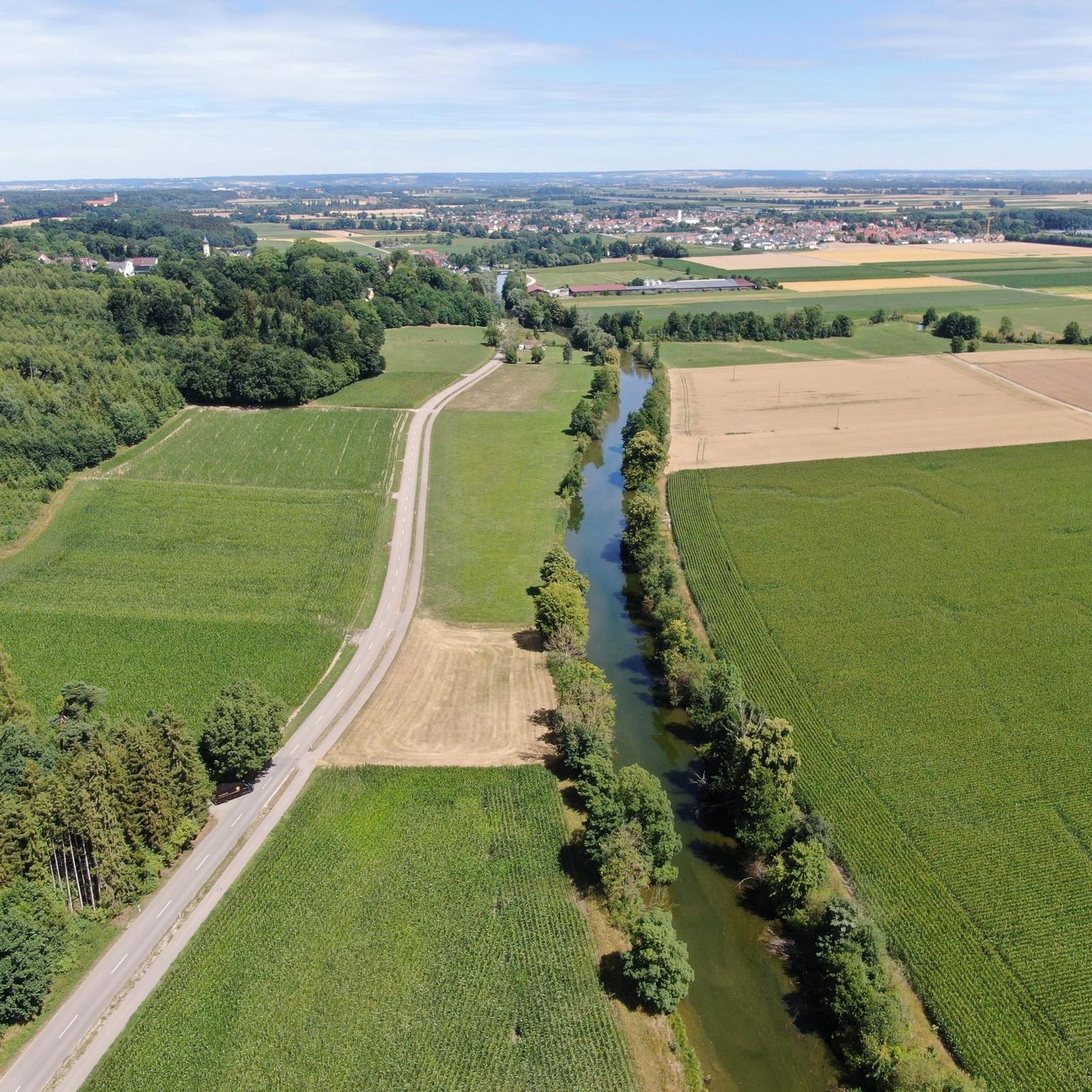
The running routes in Kühlenthal are characterized by soft forest paths and gravel trails, providing comfortable and shaded surfaces. You'll also find paths winding through open fields, with some routes running alongside water bodies like the Schmutter River. The terrain is generally gentle with minimal elevation changes.
Are there any easy or beginner-friendly jogging routes in Kühlenthal?
Yes, Kühlenthal offers a good selection of easy running routes. There are 67 routes specifically categorized as easy, making them perfect for beginners or those looking for a relaxed run. Many routes feature gentle terrain and comfortable surfaces.
What natural features or landmarks can I see while running in Kühlenthal?
While jogging around Kühlenthal, you can explore various natural monuments and scenic spots. Consider routes that pass by highlights such as the Taglilienfeld Nature Monument or the Schmutteraue Nature Reserve. The broader region also features the Confluence of Lechkanal and Lech, offering picturesque water views.
Are there any challenging running routes for experienced runners?
For more experienced runners seeking a challenge, Kühlenthal offers 31 routes categorized as difficult. These routes might feature longer distances or slightly more varied terrain, providing a good workout while still enjoying the natural surroundings.
What do other runners enjoy most about jogging in Kühlenthal?
The running routes in Kühlenthal are highly rated by the komoot community, with an average score of 4.5 stars from over 130 reviews. Runners frequently praise the peaceful, green surroundings, the well-maintained network of natural trails, and the comfortable forest and gravel paths.
Can I find circular running routes in Kühlenthal?
Yes, many of the running routes in Kühlenthal are designed as loops, offering convenient circular paths. An example is the Wonders in the fields – View of Westendorf loop from Westendorf, which provides a pleasant run through open landscapes.
Are there any running routes that pass through villages or offer views of local architecture?
Yes, some routes combine natural scenery with glimpses of local life. The St. Georg Church Westendorf – Nordendorf railway station building loop from Westendorf, for instance, leads through local villages and open landscapes, offering a mix of views.
Are there any longer running trails for endurance training?
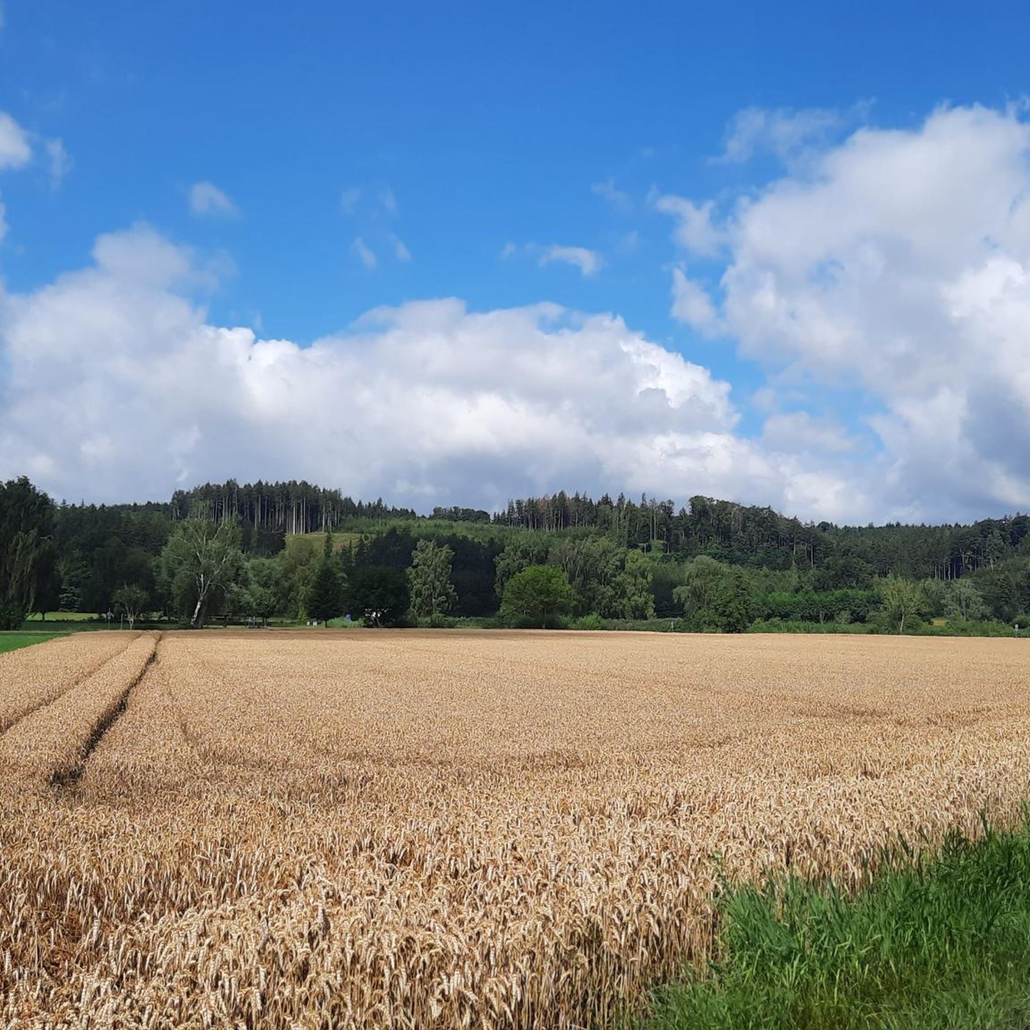
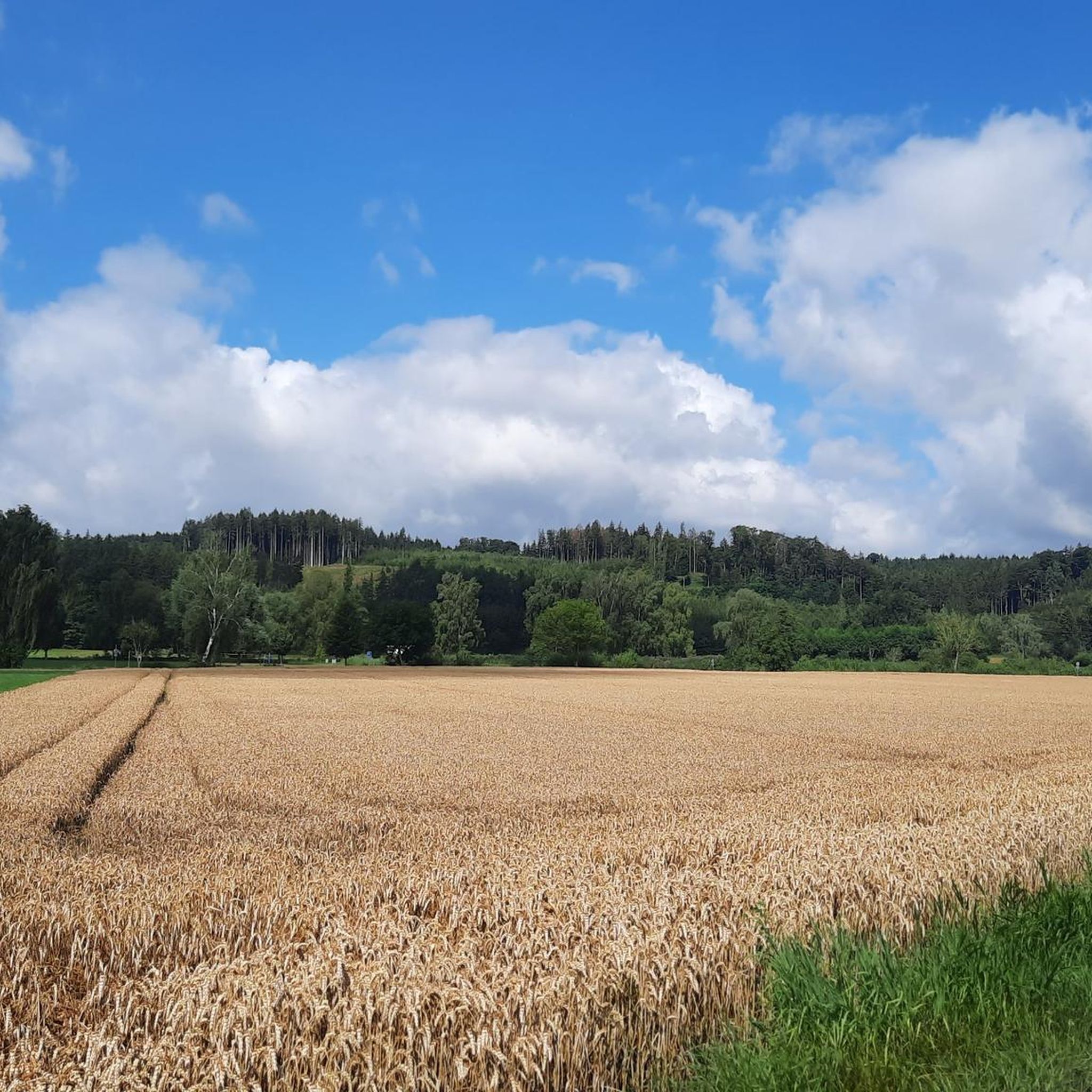
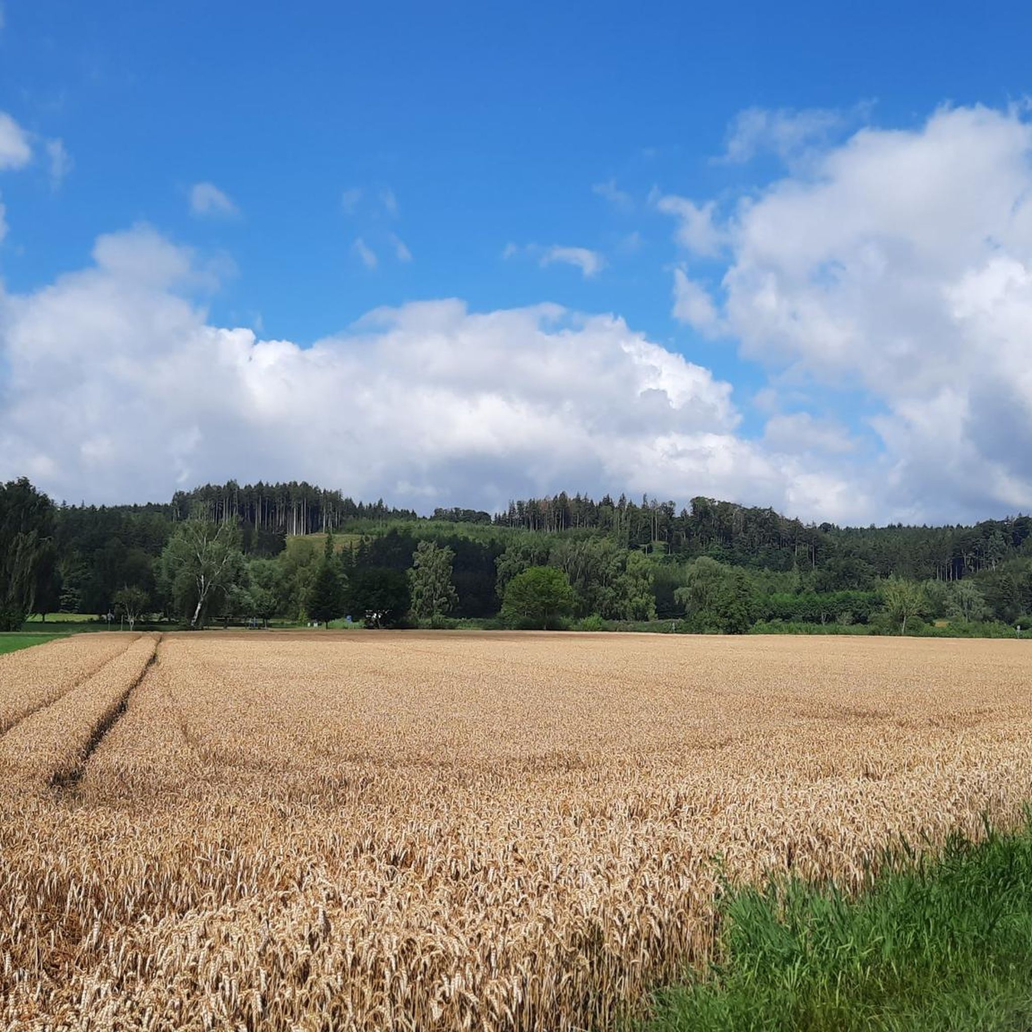
For longer runs, you can explore routes like the Wheat Field Near Gablingen – Schmutter River loop from Kühlenthal. This moderate 10.7 km (6.6 miles) path winds through open fields and alongside the Schmutter River, providing varied scenery for a sustained effort.
What is a good moderate-distance running route to try in Kühlenthal?
A great moderate-distance option is the Running loop from Westendorf. This 5.7 km (3.5 miles) trail takes about 35 minutes to complete and offers a pleasant run through the local countryside, suitable for a regular workout.
Are there running routes with more significant elevation changes for hill training?
While the region is generally known for gentle terrain, some routes do offer more noticeable elevation. For example, the Running loop from Langenreichen includes an elevation gain of over 43 meters, providing a good option for incorporating some inclines into your run.
Most popular routes around Kühlenthal
Most popular attractions around Kühlenthal

Get inspired with the komoot mobile app


Explore more
Browse the best Running Trails & Routes in other regions.
