The best walks and hikes around Liswatty Lower
4.6
(87)
936
hikers
19
hikes
Hiking around Liswatty Lower features routes that traverse along the River Bann, through forested areas like Somerset Forest, and past historical sites such as Mountsandel Fort. The terrain is generally gentle, with minimal elevation changes, making it suitable for accessible walks. The area offers a network of trails primarily designed for easy hiking experiences.
Best hiking trails around Liswatty Lower
- The most popular hiking route is View of the River Bann – Mountsandel Fort loop from Causeway Hospital, a…
Last updated: July 9, 2026
5.0
(2)
27
hikers
Easy hike. Great for any fitness level. Easily-accessible paths. Suitable for all skill levels.
5.0
(2)
26
hikers
4.00km
01:03
30m
30m
Easy hike. Great for any fitness level. Easily-accessible paths. Suitable for all skill levels.

Sign up for free
3.0
(1)
12
hikers
3.23km
00:52
40m
40m
Easy hike. Great for any fitness level. Easily-accessible paths. Suitable for all skill levels.
5.0
(2)
7
hikers
4.75km
01:16
50m
50m
Easy hike. Great for any fitness level. Easily-accessible paths. Suitable for all skill levels.
4
hikers
2.93km
00:45
20m
20m
Easy hike. Great for any fitness level. Easily-accessible paths. Suitable for all skill levels.
Get access to more routes and recommendations from other explorers.
Sign up for free
Already have an account?
Our route recommendations are based on thousands of hikes, rides, and runs completed by other people on komoot.
Start today with a free account
Your next adventure awaits.
Login or Signup
Popular around Liswatty Lower

Tips from the Community


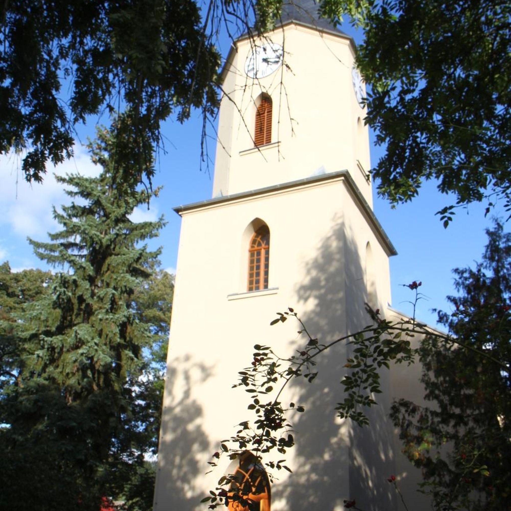
Mountsandel Fort is a prehistoric fort dating to the Mesolithic period that was reused in the Irish Middle Ages (10th to 11th centuries). Located in Coleraine, County Derry, the fort consists of a huge grassy mound hollowed out in the middle, overlooking the River Bann. A must-see for lovers of mysterious monuments!
1
0

In a very nice little square, with benches and many shops in the pedestrian area.
1
0

You can walk along a well defined forest path from the small car park near Coleraine Courthouse and from the Fort, you can see great views of the Salmon Leap (Weir) and Coleraine.
1
0
Frequently Asked Questions
How many hiking trails are available in Liswatty Lower?
There are 19 hiking trails available in Liswatty Lower. The majority of these, 14 routes, are classified as easy, with 5 moderate routes also available. There are no difficult trails in the area.
What is the general difficulty level of hiking trails in Liswatty Lower?
The hiking trails in Liswatty Lower are predominantly easy, with 14 out of 19 routes falling into this category. There are also 5 moderate trails, making the area well-suited for casual walkers and those seeking gentle outdoor experiences. There are no difficult routes.
Are there any circular walks in Liswatty Lower?
Yes, Liswatty Lower offers several circular walks. For example, the Mountsandel Fort – Mountsandel Fort loop from Coleraine is an easy 2.5-mile (4.0 km) path exploring the area around Mountsandel Fort. Another option is the Somerset Forest loop from Causeway Hospital, a 2.0-mile (3.2 km) trail through Somerset Forest.
Are the trails in Liswatty Lower suitable for families?
Yes, the trails in Liswatty Lower are generally suitable for families. The terrain is mostly gentle with minimal elevation changes, and 14 of the 19 routes are classified as easy. The Mountsandel Fort – View of the River Bann loop from Causeway Hospital is an easy 3.2 km route that could be a good option for a family outing.
What do other hikers say about the trails in Liswatty Lower?
The trails in Liswatty Lower are highly regarded by the komoot community, with an average rating of 4.6 stars from over 80 reviews. Hikers often praise the accessible nature of the routes, the scenic views along the River Bann, and the pleasant walks through areas like Somerset Forest and around historical sites such as Mountsandel Fort.
Are there any challenging hiking routes in Liswatty Lower?
No, Liswatty Lower does not feature any challenging hiking routes. All 19 trails are classified as either easy (14 routes) or moderate (5 routes), focusing on accessible and gentle outdoor experiences.
What kind of landscapes can I expect to see while hiking in Liswatty Lower?
Hiking in Liswatty Lower offers a mix of river paths along the River Bann, forested sections like Somerset Forest, and historical sites such as Mountsandel Fort. The terrain is generally gentle, providing pleasant and accessible walks rather than dramatic elevation changes.
Are there any interesting landmarks or attractions near the hiking trails?
While the immediate trails focus on the River Bann and Mountsandel Fort, the broader area around Liswatty Lower offers several notable attractions. These include historical sites like Dunluce Castle Ruins, the Old Bushmills Distillery, and scenic coastal viewpoints such as Portballintrae Bay and East Strand Beach.
What is the typical duration for hikes in Liswatty Lower?
The typical duration for hikes in Liswatty Lower varies depending on the route. Many of the easy trails can be completed in about 1 to 1.5 hours. For instance, the Motte and Bailey loop from Coleraine, an easy 4.7 km route, takes approximately 1 hour 15 minutes.
Is there parking available for trailheads in Liswatty Lower?
Many of the routes in Liswatty Lower start from locations like Causeway Hospital or Coleraine, which typically offer parking facilities. It's advisable to check specific trailhead information on komoot for detailed parking availability before your hike.
What should I bring for hiking in Liswatty Lower?
Given the generally easy and moderate nature of the trails, comfortable walking shoes, appropriate clothing for the weather, and water are usually sufficient. For longer routes, consider bringing snacks. As some paths follow the river or go through forested areas, insect repellent might also be useful during warmer months.
Most popular routes around Liswatty Lower
Most popular attractions around Liswatty Lower

Get inspired with the komoot mobile app


Explore more
Browse the best Hikes in other regions.
