The best running trails around Lurganconary
4.5
(4)
549
runners
36
runs
Jogging routes around Lurganconary benefit from the region's proximity to the Mourne Mountains, offering a mix of natural beauty and accessible running trails. The landscape features tranquil farmland, such as the 100 acres of organic farmland at Lurganconary Farm, and the presence of rivers like the White Water River. While specific routes within Lurganconary itself are limited, the broader Lurgan area provides varied terrain including park loops, nature reserves, and lake paths. These routes offer mostly paved surfaces, with options…
Last updated: July 10, 2026
5.0
(1)
31
runners
6.03km
00:42
50m
50m
Moderate run. Good fitness required. Mostly paved surfaces. Suitable for all skill levels.
11
runners
5.37km
00:34
40m
40m
Moderate run. Good fitness required. Mostly paved surfaces. Suitable for all skill levels.

Sign up for free
6
runners
8.31km
00:53
30m
30m
Moderate run. Good fitness required. Mostly paved surfaces. Suitable for all skill levels.
5
runners
6.00km
00:37
30m
30m
Moderate run. Good fitness required. Mostly paved surfaces. Suitable for all skill levels.
5
runners
Hard run. Very good fitness required. Mostly paved surfaces. Suitable for all skill levels.
Get access to more routes and recommendations from other explorers.
Sign up for free
Already have an account?
Our route recommendations are based on thousands of hikes, rides, and runs completed by other people on komoot.
Start today with a free account
Your next adventure awaits.
Login or Signup

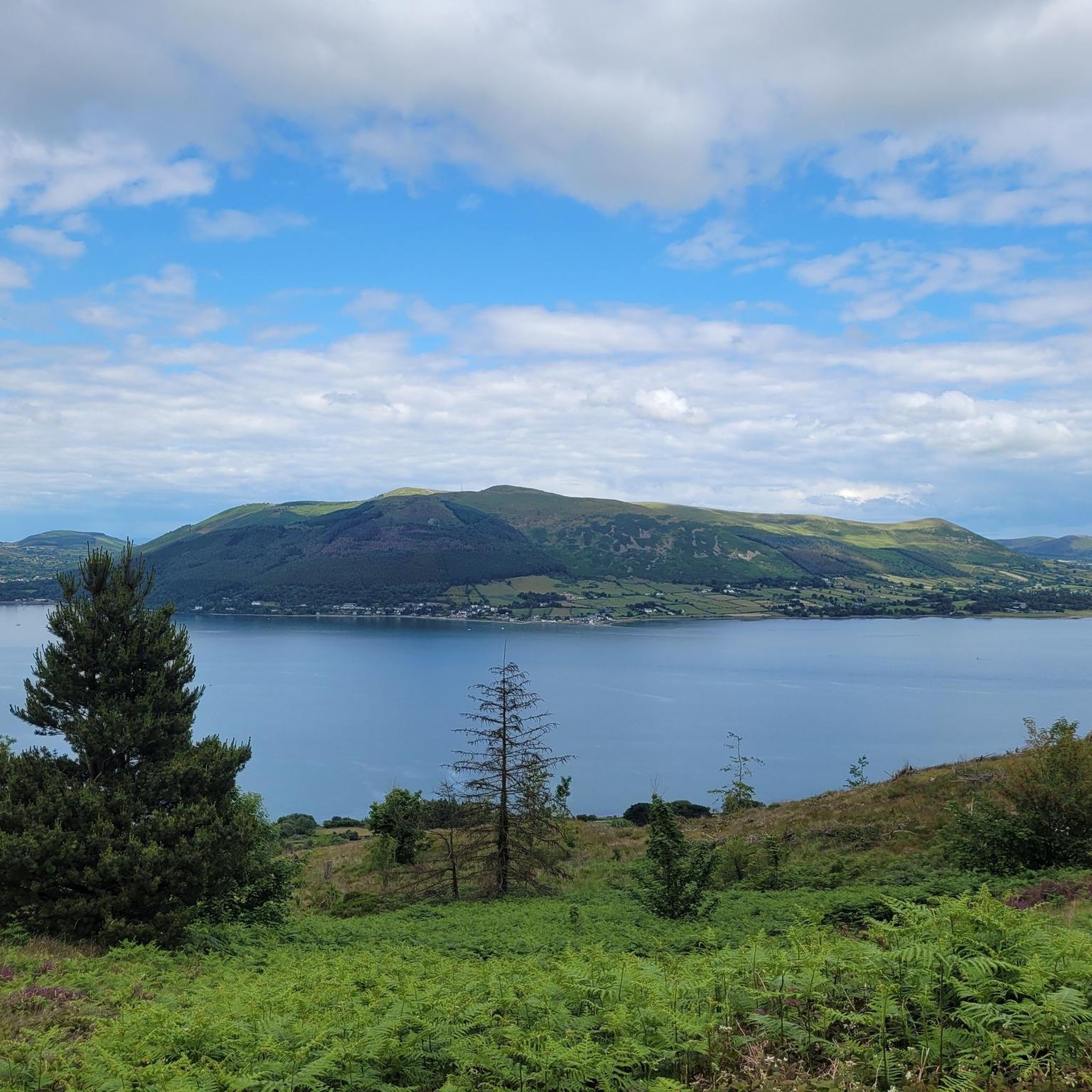
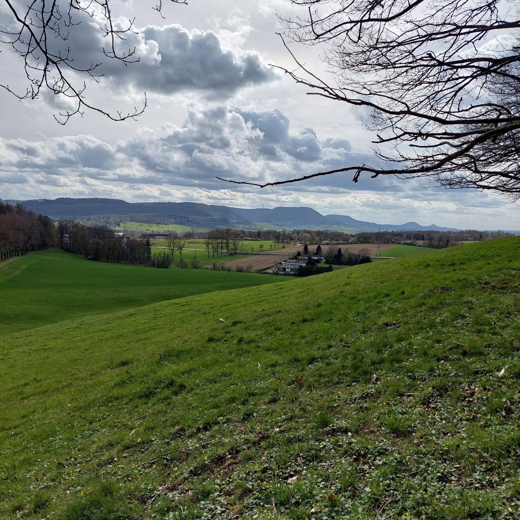
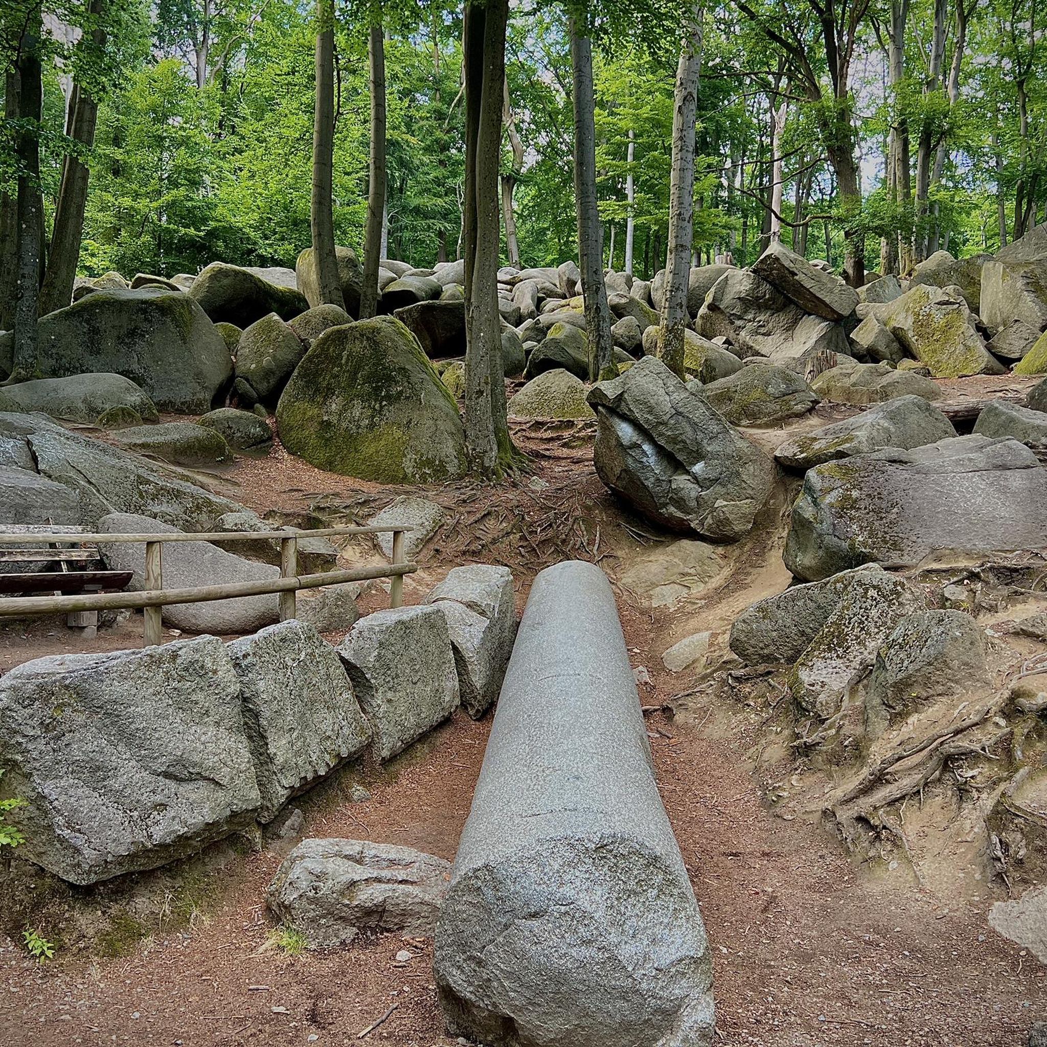
Tips from the Community

Frequently Asked Questions
How many running routes are available around Lurganconary?
There are nearly 40 dedicated running routes around Lurganconary listed on komoot. These routes offer a variety of experiences, from easy jogs to more challenging runs, catering to different fitness levels.
What kind of terrain can I expect on the jogging trails near Lurganconary?
The jogging trails around Lurganconary offer a mix of terrain. You'll find mostly paved surfaces, especially in nearby areas like Lurgan Park, Oxford Island National Nature Reserve, and Craigavon Balancing Lakes. The region also features coastal paths and routes near the Mourne Mountains, providing varied landscapes for your run.
Are there any easy or beginner-friendly jogging routes in the Lurganconary area?
Yes, there are several easy and moderate options suitable for beginners. For instance, the Christ Church, Kilkeel loop from Kilkeel is a moderate 3.3-mile route with gentle elevation changes near the coast. Nearby, Lurgan Park offers a moderate loop with mostly paved surfaces, ideal for all skill levels.
Can I find challenging running routes around Lurganconary?
Absolutely. For those seeking a more demanding run, the area provides several difficult routes. The Greencastle Lighthouse – Christ Church, Kilkeel loop from Haulbowline Lighthouse is a challenging 19.8 km trail. Additionally, the 'Craigavon Lakes loop' from Lurgan is known as a hard run requiring very good fitness, primarily on paved surfaces.
What are some scenic highlights or landmarks I might see while jogging in Lurganconary?
While jogging in the broader Lurganconary area, you can enjoy coastal scenery, views of the Mourne Mountains, and tranquil natural settings. Notable attractions include the Silent Valley Reservoir and Silent Valley Duck Pond. You might also encounter the Cloughmore Stone or enjoy views of Carlingford Lough from Mourne AONB.
Are there any circular running routes available?
Yes, many of the routes in the Lurganconary area are designed as loops, offering convenient circular runs. Examples include the popular Running loop from Kilkeel and the Greencastle Lighthouse loop from Haulbowline Lighthouse, both providing a consistent running experience.
What do other runners say about the jogging routes in Lurganconary?
The running routes in Lurganconary are highly rated by the komoot community, with an average score of 4.3 stars from 3 reviews. Over 560 runners have explored the varied terrain, often praising the scenic coastal paths and the peaceful environment near the Mourne Mountains.
Are there any running trails suitable for families with children?
While specific family-friendly routes are not detailed, areas like Lurgan Park and Oxford Island National Nature Reserve offer mostly paved, accessible trails up to 3 miles, which could be suitable for families looking for a gentle jog or walk. These locations provide a serene environment with diverse natural features.
What are the typical distances and durations for jogging routes in this region?
The jogging routes around Lurganconary vary in distance and duration. You can find shorter routes like the 3.3-mile Christ Church, Kilkeel loop from Kilkeel, which takes about 32 minutes. Longer, more challenging routes, such as the 19.8 km Greencastle Lighthouse – Christ Church, Kilkeel loop from Haulbowline Lighthouse, can take over 2 hours.
Is there parking available near the jogging trails?
While specific parking details for each route are not provided, popular running spots like Lurgan Park, Oxford Island National Nature Reserve, and the areas around Kilkeel and Haulbowline Lighthouse typically offer parking facilities for visitors accessing the trails.
Are there any routes that offer views of lakes or water features?
Yes, the region is known for its beautiful water features. You can find routes that offer views of Carlingford Lough from Mourne AONB, and the nearby Silent Valley Reservoir and Silent Valley Duck Pond are also prominent natural attractions that can be incorporated into or viewed from running excursions.
Most popular routes around Lurganconary
Most popular attractions around Lurganconary

Get inspired with the komoot mobile app


Explore more
Browse the best Running Trails & Routes in other regions.
