The best cycling routes around Drumindoney
4.5
(3)
263
riders
13
rides
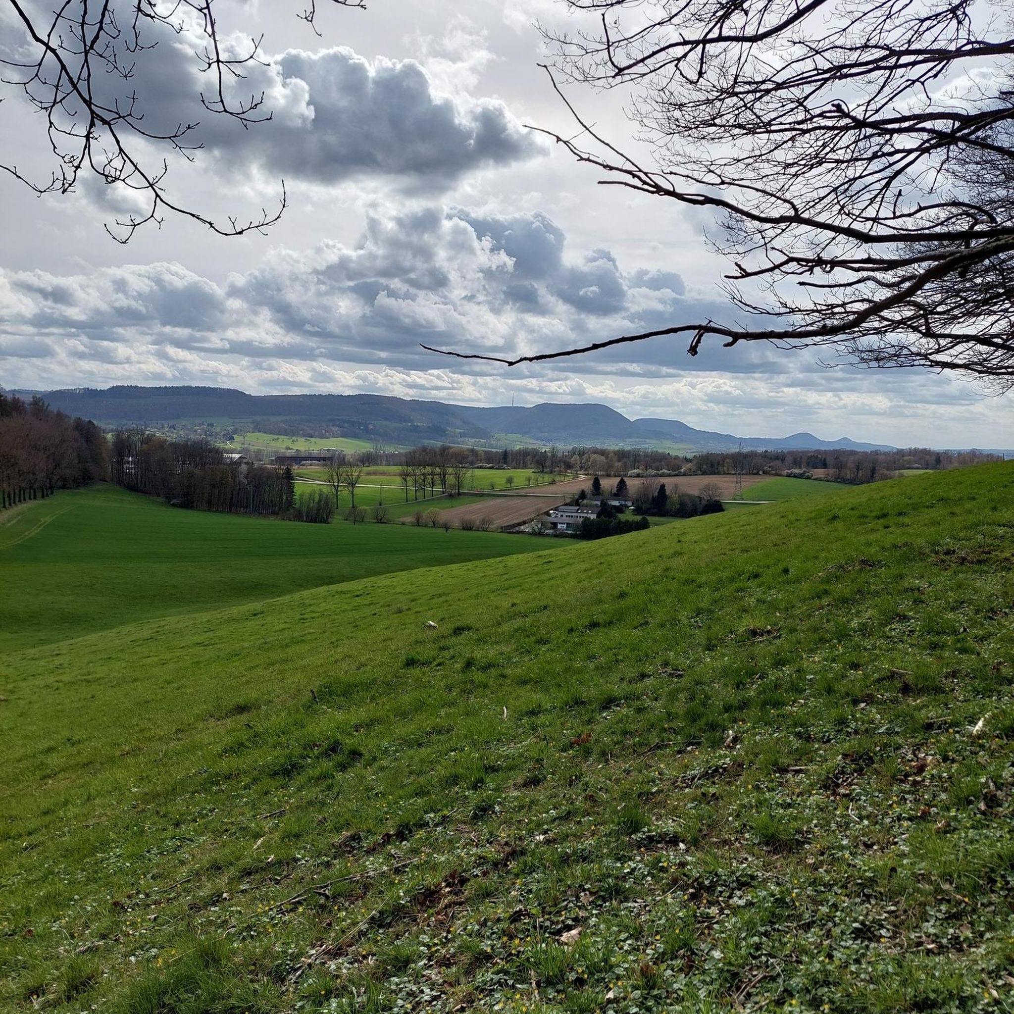
Touring cycling routes around Drumindoney traverse a landscape characterized by coastal areas and rolling hills. The region offers varied terrain suitable for different cycling preferences, from greenways along loughs to more challenging ascents. Elevations are generally moderate, with some routes featuring significant climbs. The area provides a mix of scenic paths and roads for exploration.
Best touring cycling routes around Drumindoney
- The most popular touring cycling route is Cranfield to Crocknafeola Wood loop — Mourne, a 33.7 miles (54.2…
Last updated: June 27, 2026
5.0
(1)
56
riders
54.2km
03:41
760m
760m
The Cranfield to Crocknafeola Wood loop offers a difficult touring bicycle ride through the Mourne Mountains, covering 33.7 miles (54.2 km) with a significant 2507 feet (764 metres) of elevation…
10
riders
25.3km
01:29
70m
70m
Cycle the easy Carlingford Lough Greenway, a 15.7-mile route with stunning lough and mountain views, perfect for families and beginners.

Sign up for free
29.2km
01:55
350m
350m
Touring cycling The Head Road Route offers moderate climbs and panoramic views of the Mournes, Irish Sea, and unique stone walls.
30.2km
01:51
260m
260m
Cycle Route 5 - The Knockchree Route, a moderate 18.8-mile touring cycling trail with mountain and coastal views in the Mourne Area of Outst
13.4km
00:48
90m
90m
This easy 8.3-mile (13.4 km) touring cycling loop near Ballymartin offers pleasant Mourne landscape views and historical interest.
Get access to more routes and recommendations from other explorers.
Sign up for free
Already have an account?
Our route recommendations are based on thousands of hikes, rides, and runs completed by other people on komoot.
Start today with a free account
Your next adventure awaits.
Login or Signup
Popular around Drumindoney


Tips from the Community

Above the medieval street pattern, which dominates the silhouette of Carlingford, stands the imposing ruin of Carlingford Castle, also known as King John’s Castle. This castle was built around 1190 by the Norman knight Hugh de Lacy and was for centuries the strategic key to the entrance of Carlingford Lough.
5
1
Small, elevated Calvary hill on the edge of Omeath, with a short path leading up to a series of white crosses on an open grassy plateau. The spot offers a quiet moment above the village, with clear views towards Carlingford Lough and the surrounding hills.
6
0

Silent Valley Reservoir, nestled in the Mourne Mountains, is a peaceful retreat surrounded by sweeping granite peaks and heathered slopes. Built in the early 20th century to supply water to Belfast and much of County Down, the reservoir combines striking engineering with natural beauty. Visitors can stroll along well-kept paths, admire the Victorian-style dam and impressive Mourne Wall, or simply enjoy the quiet atmosphere by the lakeshore.
4
1

The well-maintained trails take you through impressive scenery, surrounded by the striking peaks of the Mournes. The view of the Mourne Wall, which stretches for 35 kilometers and connects 15 peaks, is particularly impressive. However, some sections can become slippery in wet weather, so caution is advised. A highlight is a visit to Ben Crom Reservoir, which can be reached via an extension of the route. Note that there is a fee to enter the park.
1
1
The narrow path winds through dense ferns and forests, and you can literally feel the silence around you - only the crunching of the tires on the gravel accompanies you.
1
0
This forest of around five hectares consists of a mixture of scrubland, Douglas fir and spruce. The well-maintained paths lead you through dense forest and offer striking views of the surrounding countryside, including the villages of Attical and Slieemageogh. However, some sections are slippery in wet weather, so care must be taken. A particular highlight is the proximity to Banns Road, a historic path that takes you further into the Mourne Mountains.
1
0
The well-signposted paths lead you through dense forests and offer impressive views of Carlingford Lough and the Mourne Mountains. The mountain bike routes in particular are varied and require both fitness and technique. However, some sections can be slippery in wet weather, so caution is advised. A highlight is the Cloughmore Stone, a huge boulder that was transported here during the last ice age. The approach there is steep, but the view makes up for the effort.
0
0
The well-signposted mountain bike trails take you through dense forests and offer breathtaking views of Carlingford Lough and the Mourne Mountains. The descent from the Cloughmore Stone, a huge boulder that was transported here during the last ice age, is a particular highlight. However, some sections are technical and require a certain level of riding technique. The trails can become slippery in wet weather, so caution is advised. Another plus point is the proximity to the charming village of Rostrevor, where you can relax in one of the cafes after the tour.
3
0
Frequently Asked Questions
How many touring cycling routes are available around Drumindoney?
There are over a dozen touring cycling routes around Drumindoney listed on komoot, offering a variety of experiences for different skill levels. In total, there are 14 routes to explore.
What kind of terrain can I expect on touring cycling routes around Drumindoney?
The routes around Drumindoney traverse a diverse landscape, featuring coastal areas and rolling hills. You'll find varied terrain, from scenic greenways along loughs to more challenging ascents on hilly roads. Elevations are generally moderate, but some routes do include significant climbs.
Are there any easy touring cycling routes suitable for beginners or families?
Yes, Drumindoney offers several easy routes. A great option is the Carlingford Lough Greenway, an easy 15.7 miles (25.3 km) path that follows a scenic greenway with gentle gradients. Another easy route is the Ballymartin to Longstone loop, which is 8.3 miles (13.4 km) long.
What are some challenging touring cycling routes around Drumindoney?
For those seeking a challenge, the Cranfield to Crocknafeola Wood loop — Mourne is a difficult 33.7 miles (54.2 km) route featuring significant elevation gain through varied terrain. There are 3 difficult routes in total, offering more strenuous rides.
Are there any circular touring cycling routes in the Drumindoney area?
Yes, many of the routes around Drumindoney are designed as loops. For example, the challenging Cranfield to Crocknafeola Wood loop — Mourne and the easier Ballymartin to Longstone loop are both circular routes, allowing you to start and finish in the same location.
What natural features or landmarks can I see along the touring cycling routes?
While cycling around Drumindoney, you can encounter several natural attractions. Highlights include the impressive Cloughmore Stone, the serene Silent Valley Reservoir, and various viewpoints offering a View of the Mourne Mountains. You might also pass through areas like Fiddlers Green or spot Pierce's Castle.
Are there any lakes or bodies of water to see on the routes?
Yes, the area features several beautiful lakes and bodies of water. You can cycle past the Silent Valley Reservoir and its adjacent Silent Valley Duck Pond. Another notable sight is the View of Carlingford Lough from Mourne AONB, offering stunning coastal vistas.
What do other touring cyclists say about the routes in Drumindoney?
The touring cycling routes in Drumindoney are highly regarded by the komoot community, with an average rating of 4.5 stars from over 3 reviews. More than 250 touring cyclists have used komoot to explore the varied terrain, often praising the mix of coastal paths, greenways, and hilly roads.
Is there public transport available to access the cycling routes around Drumindoney?
Information regarding specific public transport links directly to the start points of these touring cycling routes in Drumindoney is not readily available. It is advisable to check local bus or train schedules for the nearest towns and plan your journey accordingly, or consider driving to a suitable starting point.
What is the best time of year for touring cycling in Drumindoney?
Given the coastal and hilly nature of the region, spring and autumn generally offer pleasant conditions for touring cycling with milder temperatures and potentially fewer crowds. Summer can also be excellent, though it may be busier. Winters can be colder and wetter, but some routes may still be enjoyable depending on weather conditions.
Are there any routes that offer particularly scenic views?
Many routes in Drumindoney offer scenic views, especially those along the coast or through elevated areas. The Carlingford Lough Greenway provides picturesque views along the lough, while routes like The Head Road Route often lead through landscapes with notable vistas.
Are there any specific routes recommended for intermediate cyclists?
Intermediate cyclists will find several moderate routes suitable for their skill level. The The Head Road Route, at 18.1 miles (29.2 km), offers a balanced challenge through a moderate landscape. Another good option is Route 5 - The Knockchree Route, which is 18.8 miles (30.2 km) long and also rated as moderate.
Most popular routes around Drumindoney
Most popular attractions around Drumindoney

Get inspired with the komoot mobile app


Explore more
Browse the best Cycling routes in other regions.
