The best cycling routes around Guineways
4.5
(11)
592
riders
43
rides
Touring cycling routes around Guineways are characterized by dedicated, often traffic-free paths, many of which repurpose old railway lines or follow natural corridors. The terrain typically offers relatively flat and consistent gradients, making it accessible for various skill levels. These routes often traverse diverse landscapes, including riverside paths and areas with scenic views, providing a peaceful cycling experience.
Best touring cycling routes around Guineways
- The most popular touring cycling route is Cranfield to Crocknafeola Wood loop — Mourne, a…
Last updated: September 30, 2026
5.0
(1)
65
riders
54.2km
03:41
760m
760m
The Cranfield to Crocknafeola Wood loop offers a difficult touring bicycle ride through the Mourne Mountains, covering 33.7 miles (54.2 km) with a significant 2507 feet (764 metres) of elevation…
11
riders
25.3km
01:29
70m
70m
Cycle the easy Carlingford Lough Greenway, a 15.7-mile route with stunning lough and mountain views, perfect for families and beginners.

4.0
(2)
7
riders
28.1km
01:52
460m
460m
Embark on Route 7 - The Rostrevor Route for a challenging touring cycling experience through the scenic Mourne AONB. This difficult route spans 17.4 miles (28.1 km) and demands a…
29.2km
01:55
350m
350m
Touring cycling The Head Road Route offers moderate climbs and panoramic views of the Mournes, Irish Sea, and unique stone walls.
30.2km
01:51
260m
260m
Cycle Route 5 - The Knockchree Route, a moderate 18.8-mile touring cycling trail with mountain and coastal views in the Mourne Area of Outst
Get access to more routes and recommendations from other explorers.
Already have an account?
Our route recommendations are based on thousands of hikes, rides, and runs completed by other people on komoot.
Start today with a free account
Your next adventure awaits.

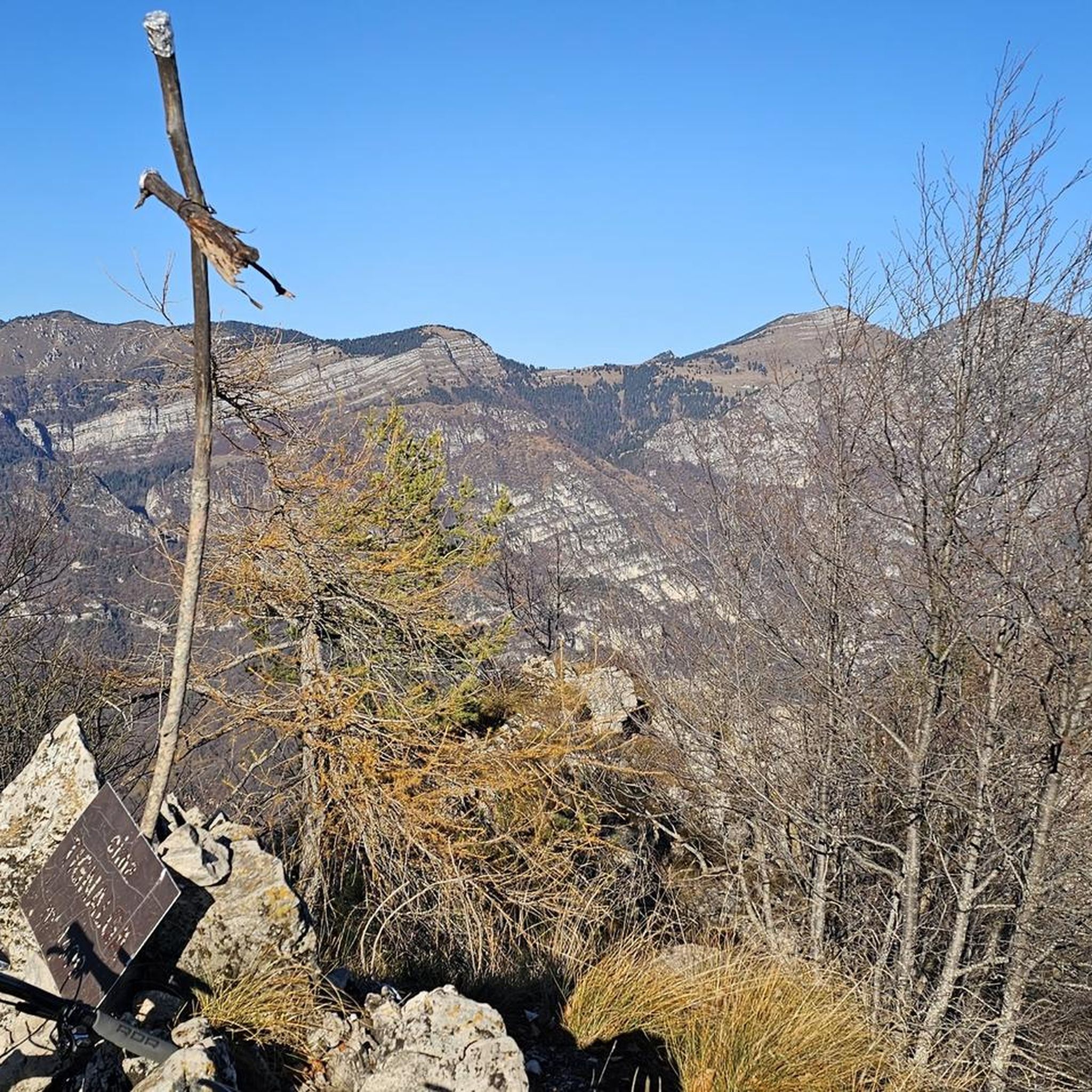

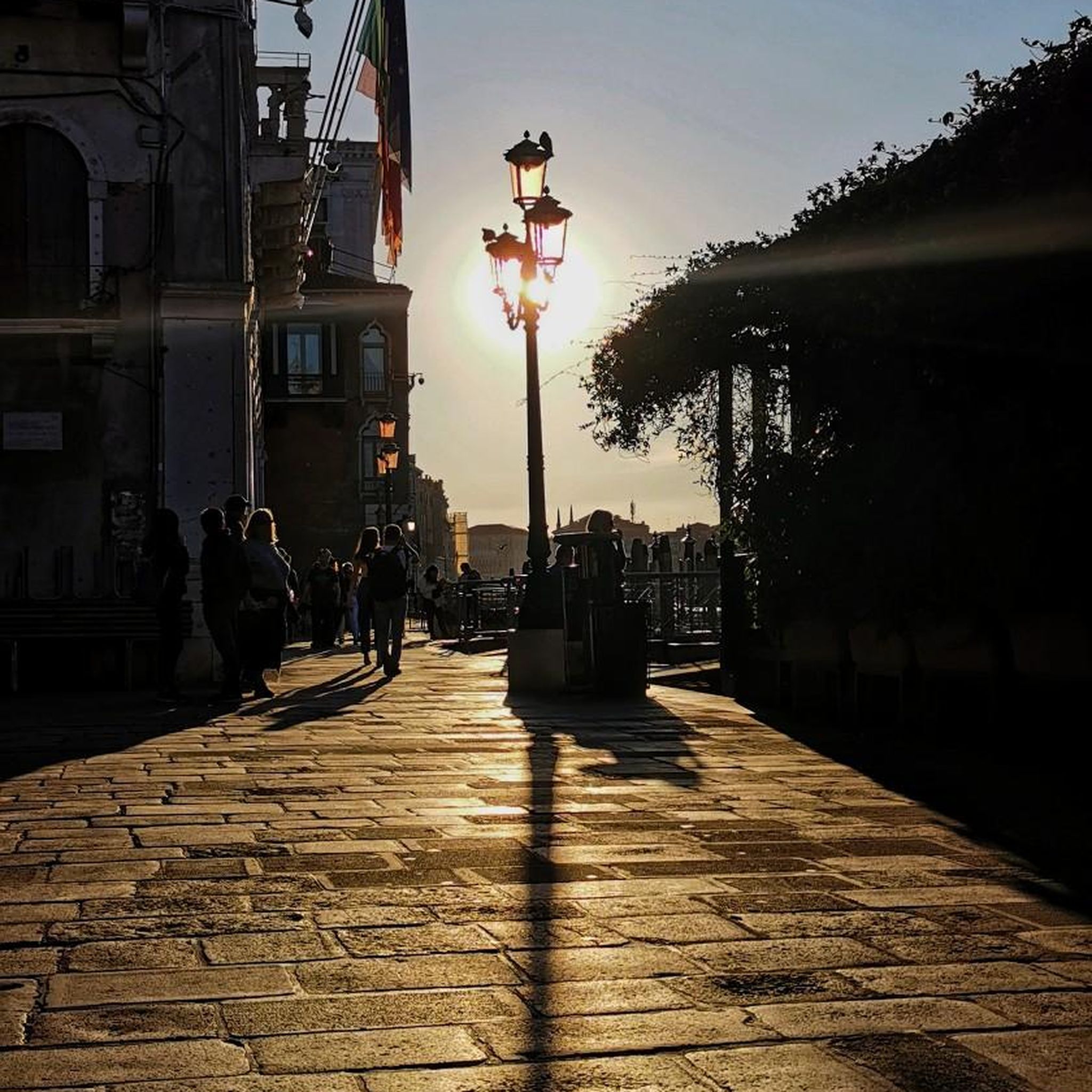

Tips from the Community

Above the medieval street pattern, which dominates the silhouette of Carlingford, stands the imposing ruin of Carlingford Castle, also known as King John’s Castle. This castle was built around 1190 by the Norman knight Hugh de Lacy and was for centuries the strategic key to the entrance of Carlingford Lough.
5
2
Small, elevated Calvary hill on the edge of Omeath, with a short path leading up to a series of white crosses on an open grassy plateau. The spot offers a quiet moment above the village, with clear views towards Carlingford Lough and the surrounding hills.
6
0

Silent Valley Reservoir, nestled in the Mourne Mountains, is a peaceful retreat surrounded by sweeping granite peaks and heathered slopes. Built in the early 20th century to supply water to Belfast and much of County Down, the reservoir combines striking engineering with natural beauty. Visitors can stroll along well-kept paths, admire the Victorian-style dam and impressive Mourne Wall, or simply enjoy the quiet atmosphere by the lakeshore.
4
1

The well-maintained trails take you through impressive scenery, surrounded by the striking peaks of the Mournes. The view of the Mourne Wall, which stretches for 35 kilometers and connects 15 peaks, is particularly impressive. However, some sections can become slippery in wet weather, so caution is advised. A highlight is a visit to Ben Crom Reservoir, which can be reached via an extension of the route. Note that there is a fee to enter the park.
1
1
The narrow path winds through dense ferns and forests, and you can literally feel the silence around you - only the crunching of the tires on the gravel accompanies you.
1
0
This forest of around five hectares consists of a mixture of scrubland, Douglas fir and spruce. The well-maintained paths lead you through dense forest and offer striking views of the surrounding countryside, including the villages of Attical and Slieemageogh. However, some sections are slippery in wet weather, so care must be taken. A particular highlight is the proximity to Banns Road, a historic path that takes you further into the Mourne Mountains.
1
0
The route winds gently uphill, offering small clearings through which you can catch a glimpse of the valley and the sparkling water in the distance. The air here is wonderfully fresh and filled with the surrounding forests. During the climb you can feel the peace of the forest, accompanied only by the hum of the tires on the asphalt and the chirping of the birds. Once you reach the top, you are rewarded with a magnificent panorama.
0
0
The well-signposted paths lead you through dense forests and offer impressive views of Carlingford Lough and the Mourne Mountains. The mountain bike routes in particular are varied and require both fitness and technique. However, some sections can be slippery in wet weather, so caution is advised. A highlight is the Cloughmore Stone, a huge boulder that was transported here during the last ice age. The approach there is steep, but the view makes up for the effort.
0
0
Frequently Asked Questions
How many touring cycling routes are available in Guineways?
There are over 50 touring cycling routes in Guineways, offering a wide range of options for different skill levels and preferences. This includes 7 easy routes, 22 moderate routes, and 22 difficult routes.
What is the general terrain like for touring cycling in Guineways?
The touring cycling routes in Guineways are primarily characterized by dedicated, often traffic-free paths. Many of these routes repurpose old railway lines or follow natural corridors, providing relatively flat and consistent gradients. This makes them ideal for touring cyclists seeking a peaceful experience away from motorized traffic, traversing diverse landscapes including riverside paths and areas with scenic views.
Are there easy touring cycling routes suitable for beginners in Guineways?
Yes, Guineways offers several easy touring cycling routes perfect for beginners or those looking for a relaxed ride. These routes often feature flat, well-maintained surfaces, making them accessible. An example is the Carlingford Lough Greenway, an easy 15.7 miles (25.3 km) path that provides a dedicated and scenic ride along the lough.
Are there more challenging touring cycling routes in Guineways?
Absolutely. For experienced touring cyclists seeking a challenge, Guineways has 22 difficult routes. These routes often include more significant elevation changes and varied terrain. A notable option is the Cranfield to Crocknafeola Wood loop — Mourne, a 33.7 miles (54.2 km) trail with substantial elevation gain, characteristic of the Mourne region.
What do other touring cyclists say about the routes in Guineways?
The touring cycling routes in Guineways are highly rated by the komoot community, with an average score of 4.4 stars from over 9 reviews. More than 750 touring cyclists have used komoot to explore the varied terrain, often praising the dedicated paths, scenic views, and the peaceful, traffic-free environment.
Are the touring cycling routes in Guineways suitable for families?
Many of the routes in Guineways, particularly those designated as easy or moderate, are well-suited for families. The nature of these routes, often repurposing old railway lines, means they are typically traffic-free and have gentle gradients, providing a safe and enjoyable environment for cyclists of all ages. The Carlingford Lough Greenway is a great example of a family-friendly option.
Can I bring my dog on the touring cycling routes in Guineways?
Generally, greenways are dog-friendly, but it's always best to check specific local regulations for each route. When permitted, dogs should typically be kept on a leash to ensure their safety and the comfort of other trail users. Always carry water for your dog and be prepared to clean up after them.
Are there any circular touring cycling routes in Guineways?
Yes, Guineways offers several circular touring cycling routes, allowing you to start and end your journey in the same location. An example is the Cranfield to Crocknafeola Wood loop — Mourne, which provides a comprehensive tour of the region's landscapes.
What kind of natural features or landmarks can I expect to see along the touring cycling routes?
The touring cycling routes in Guineways traverse diverse and picturesque landscapes. You can expect to see various natural features such as tranquil lakes and impressive mountain peaks. Notable highlights include the serene Silent Valley Reservoir and the scenic View of Carlingford Lough from Mourne AONB. For those interested in peaks, you might encounter Slieve Foye Summit or Pierce's Castle.
Are there viewpoints along the touring cycling routes in Guineways?
Yes, many touring cycling routes in Guineways offer excellent viewpoints, allowing you to take in the region's natural beauty. For instance, the Eagle Mountain highlight offers panoramic vistas, and the Silent Valley Reservoir provides picturesque views of the water and surrounding landscape.
What is the best time of year for touring cycling in Guineways?
The best time to visit Guineways for touring cycling is generally during the spring, summer, and early autumn months. During these periods, the weather is typically milder and more stable, making for more comfortable riding conditions. The diverse landscapes are also at their most vibrant, offering beautiful scenery.
Are there any routes that offer a mix of moderate and challenging sections?
Yes, routes like Route 5 - The Knockchree Route, a 30.2 miles (48.6 km) trail, are classified as moderate but can offer varied terrain that includes both gentler stretches and more demanding ascents, providing a balanced experience for touring cyclists looking for a bit of everything.
Most popular attractions around Guineways

Get inspired with the komoot mobile app


Explore more
Browse the best Cycling routes in other regions.
