The best MTB trails around Moyad Upper
14
riders
4
rides
Mountain biking around Moyad Upper offers diverse terrain characterized by rolling hills and forested areas, providing varied challenges for riders. The region features significant elevation changes, with routes navigating through areas like the Mourne Hills and Rostrevor Forest. These natural features contribute to a dynamic mountain biking experience, with trails often including climbs and descents. The landscape is well-suited for those seeking a mix of technical sections and scenic views.
Best mountain bike trails around Moyad Upper
- The most popular…
Last updated: June 27, 2026
48.5km
03:46
960m
960m
Hard mountain bike ride. Very good fitness required. Suitable for all skill levels.
2
riders
42.7km
02:51
580m
580m
Moderate mountain bike ride. Good fitness required. Suitable for all skill levels.

Sign up for free
7
riders
Hard mountain bike ride. Good fitness required. Advanced riding skills necessary. Some portions of the route may require you to push your bike.
5
riders
Hard mountain bike ride. Good fitness required. Advanced riding skills necessary. Some portions of the route may require you to push your bike.
Our route recommendations are based on thousands of hikes, rides, and runs completed by other people on komoot.
Start today with a free account
Your next adventure awaits.
Login or Signup
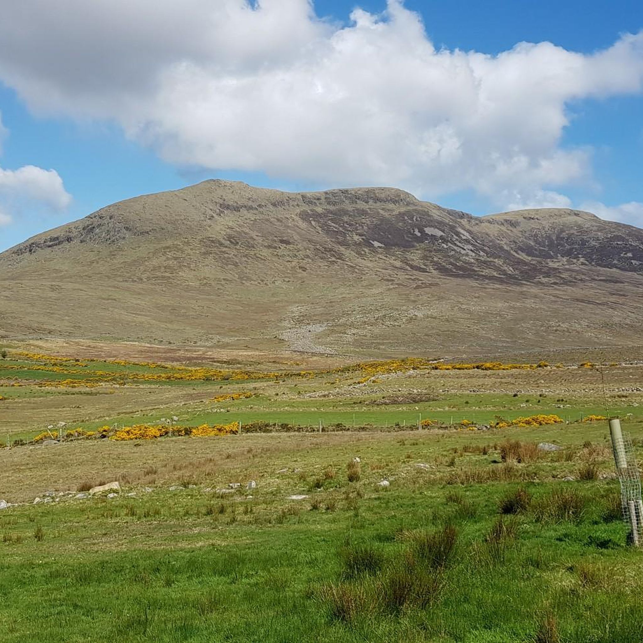

Tips from the Community

This is a pretty peaceful and beautiful place I quite like it https://blossomword-game.com
0
0

The perfect meeting spot to start any run in this area. From this point you can head either into Rostrevor village, out towards Killowen, into Kilbroney park or head north alongside the river.
1
0
Great starting point for many walks in the southern Mournes. From the car park go through the gate, over the wee bridge and then take your choice of right to Yellow Water and Rostrevor, Straight up to Pierces Castle or left towards Rocky mountain.
1
0
You can come at this from a few different directions but any way, it's a nice point to take a break and enjoy the sound of the water flowing below
2
0
It's often really foggy up here and difficult to see which way you need to go. If you're coming at this from the Pierce' Castle side and heading towards Rostrevor then this stile is most likely what you're aiming for.
1
0
It's called bog road for a reason! Expect it to be muddy and slippy about 364 days a year!
1
0
Usually low enough to run across without getting wet feet
1
0
Frequently Asked Questions
What kind of terrain can I expect on mountain bike trails around Moyad Upper?
Mountain biking around Moyad Upper is characterized by rolling hills, dense forests, and significant elevation changes. The trails navigate through areas like the Mourne Hills and Rostrevor Forest, offering a dynamic experience with a mix of climbs and descents. You'll find varied challenges suitable for different skill levels.
Are there any trails suitable for beginners or less experienced mountain bikers?
While many routes in Moyad Upper feature significant climbs and technical sections, there are options for moderate riders. For example, the Spelga Reservoir Hill Climb – Fairy Glen loop from Rostrevor is rated moderate and offers a notable hill climb and scenic views of Spelga Reservoir.
What are some of the more challenging mountain bike routes in Moyad Upper?
For experienced riders seeking a challenge, the Mourne Hills loop from Hilltown is a difficult 30.1-mile (48.5 km) trail featuring significant climbs through the scenic Mourne Hills. Another difficult option is the Climb by Rostrevor Forest – Forest Trail in Mourne AONB loop from Crotlieve Mountain, which is shorter but still demanding.
Are there any mountain bike trails that form a loop in Moyad Upper?
Yes, several routes in Moyad Upper are designed as loops. Examples include the challenging Mourne Hills loop from Hilltown, the moderate Spelga Reservoir Hill Climb – Fairy Glen loop from Rostrevor, and the Climb by Rostrevor Forest – Forest Trail in Mourne AONB loop from Crotlieve Mountain.
What natural features or landmarks can I see along the mountain bike trails?
The trails often pass through or near significant natural features. You can encounter the dramatic landscapes of the Mourne Hills and Rostrevor Forest. Nearby attractions include viewpoints like Slieve Bearnagh and the Summit of Slieve Donard. You might also spot the historic Mourne Wall and the unique Cloughmore Stone.
What do other mountain bikers enjoy most about riding in Moyad Upper?
Mountain bikers using komoot often praise the diverse terrain, which offers a good mix of technical sections and scenic views. The significant elevation changes and the opportunity to ride through areas like the Mourne Hills and Rostrevor Forest are frequently highlighted as key attractions.
Are there any long-distance mountain bike trails in the area?
Yes, Moyad Upper offers several longer routes for endurance riders. The Mourne Hills loop from Hilltown is a substantial 30.1 miles (48.5 km) trail, and the Spelga Reservoir Hill Climb – Fairy Glen loop from Rostrevor covers 26.6 miles (42.7 km).
What is the best time of year to go mountain biking in Moyad Upper?
The region's climate means that spring through autumn generally offers the most favorable conditions for mountain biking, with milder weather and less chance of snow or ice on higher elevations. However, conditions can vary, so it's always best to check local weather forecasts before heading out.
Are there any family-friendly mountain biking options in Moyad Upper?
While many trails feature significant climbs and are rated moderate to difficult, families with older, more experienced children might enjoy sections of the less technical routes. It's recommended to review the trail descriptions and elevation profiles carefully to ensure they match your family's skill level.
Where can I find parking for mountain bike trails in Moyad Upper?
Specific parking information for each trailhead is typically available on the individual route pages on komoot. Given the region's diverse terrain and various starting points, it's advisable to check the details for your chosen route, such as the Mourne Hills loop from Hilltown or the Pierce's Castle Climb – Forest Trail in Mourne AONB loop from Yellow Water River, for precise parking locations.
Are there any cafes or places to eat near the mountain bike trails?
While specific cafes are not listed directly within the trail data, areas like Hilltown and Rostrevor, which serve as starting points for several routes, are likely to offer amenities such as cafes or pubs where you can refuel after your ride. It's a good idea to research local establishments in these towns.
Most popular attractions around Moyad Upper

Get inspired with the komoot mobile app


Explore more
Browse the best MTB trails in other regions.
