The best walks and hikes around Mourne Mountains West
4.6
(835)
6,327
hikers
146
hikes
Hikes in Mourne Mountains West explore a landscape of rolling hills, granite tors, and scattered peaks. This region of County Down, often called the "Low Mournes," is characterized by its expansive heathland, areas of blanket bog, and accessible summits. The terrain provides a quieter alternative to the higher peaks in the eastern part of the range.
Best hiking trails around Mourne Mountains West
- The most popular hiking route is Pierce's Castle from Sandbank Road — Mourne, a 4.0 mile (6.5 km) trail that takes about 2 hours 5 minutes to complete. The route features a moderate ascent to the granite outcrop of Pierce's Castle.
- Another top favourite among local hiking enthusiasts is Hen Mountain – Cock Mountain loop from Altaggart Mountain, a difficult 9.0 mile (14.5 km) path. This challenging route involves significant elevation gain across several summits.
- Local hiking enthusiasts also love the Slieve Doan via Lough Shanna — Mourne, a 10.1 mile (16.2 km) trail leading through open moorland, often completed in about 4 hours 40 minutes.
- Hiking around Mourne Mountains West is defined by granite-topped hills, expansive heathland, and reservoir paths. The network of walking routes in the western Mournes offers options for different ability levels, from gentle reservoir circuits to more demanding hill climbs.
- The routes in Mourne Mountains West are highly rated by the komoot community with an average score of 4.5 stars from over 800 reviews. More than 6,000 hikers have used komoot to explore Mourne Mountains West's varied terrain.
Last updated: July 11, 2026
4.2
(6)
61
hikers
6.51km
02:03
270m
270m
Moderate hike. Good fitness required. Easily-accessible paths. Suitable for all skill levels.
4.7
(6)
48
hikers
16.2km
04:41
400m
400m
Moderate hike. Good fitness required. Easily-accessible paths. Suitable for all skill levels.

Sign up for free
4.4
(16)
77
hikers
14.2km
04:57
750m
750m
Moderate hike. Good fitness required. Easily-accessible paths. Suitable for all skill levels.
4.7
(11)
67
hikers
11.3km
03:25
360m
360m
Moderate hike. Good fitness required. Mostly accessible paths. Sure-footedness required.
4.9
(8)
86
hikers
10.5km
02:57
220m
220m
Moderate hike. Good fitness required. Easily-accessible paths. Suitable for all skill levels.
Get access to more routes and recommendations from other explorers.
Sign up for free
Already have an account?
Our route recommendations are based on thousands of hikes, rides, and runs completed by other people on komoot.
Start today with a free account
Your next adventure awaits.
Login or Signup


Tips from the Community

loads of stone walls The Mourne Wall is 22 miles long and consists of natural granite stone, It was built from 1904 to 1922
0
0

A wooden stile/ladder crossing the wall
3
0

Nice climb with some good views
0
0

This is a pretty peaceful and beautiful place I quite like it https://blossomword-game.com
0
0

Lietrim Lodge car park is a popular starting point for many hikes and runs in the area.
0
0
Not a particularly high mountain but possibly the best 360 degree view in the Mournes!
0
0
Frequently Asked Questions
What is the hiking in the Western Mournes like compared to the Eastern Mournes?
The Western Mournes, often called the 'Low Mournes,' offer a different experience. The landscape features more scattered and rounded hills with granite tors, expansive heathland, and a generally quieter atmosphere. While the Eastern Mournes have the highest peaks, the West provides superb hiking with more accessible summits, making it ideal for a wider range of abilities.
Are there any good circular walks in the Western Mournes?
Yes, the area is well-suited for loop hikes. For a moderately challenging circular route that takes you through classic Western Mournes terrain, consider the Yellow Water River – Pierce's Castle loop from Altaggart Mountain. This trail offers a great mix of river scenery and upland views over its 7.3-mile (11.8 km) course.
Can I bring my dog on hikes in the Western Mournes?
Dogs are often welcome, but it's crucial to be responsible. The region is an Area of Outstanding Natural Beauty with sensitive habitats and grazing livestock. Always keep your dog on a lead, especially during bird nesting season (March-August) and around farm animals. Clean up after your dog to protect the local wildlife and ensure access for others.
What are some family-friendly or easier walks in the area?
For a fantastic family day out, the Silent Valley Mountain Park is a top choice. It offers well-maintained, gentle paths around the reservoir with impressive views of the dam and surrounding peaks. The park also has a visitor centre and café. Another great option is Mourne Park, which features beautiful woodland walks along a river.
Where can I find the best viewpoints in the Western Mournes?
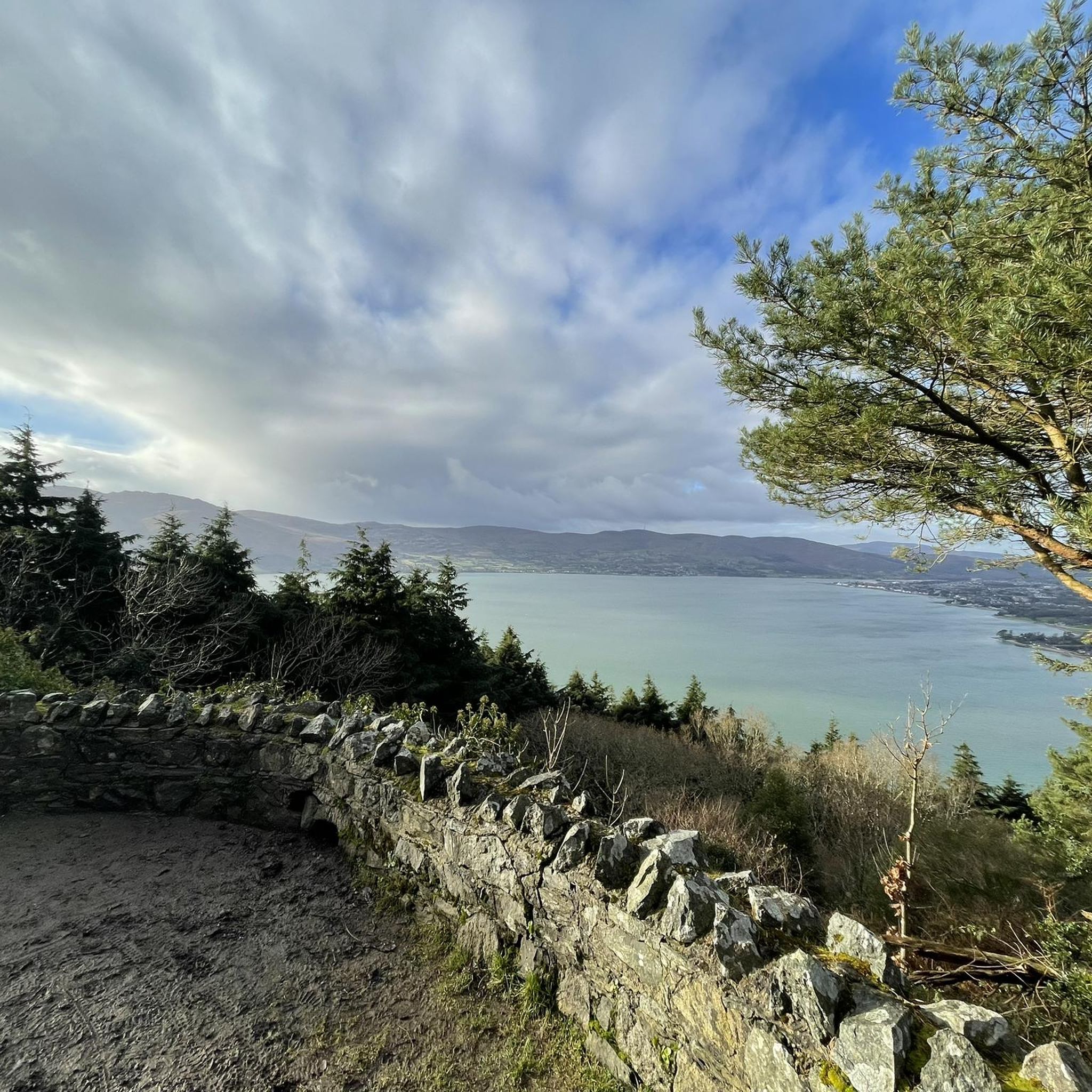
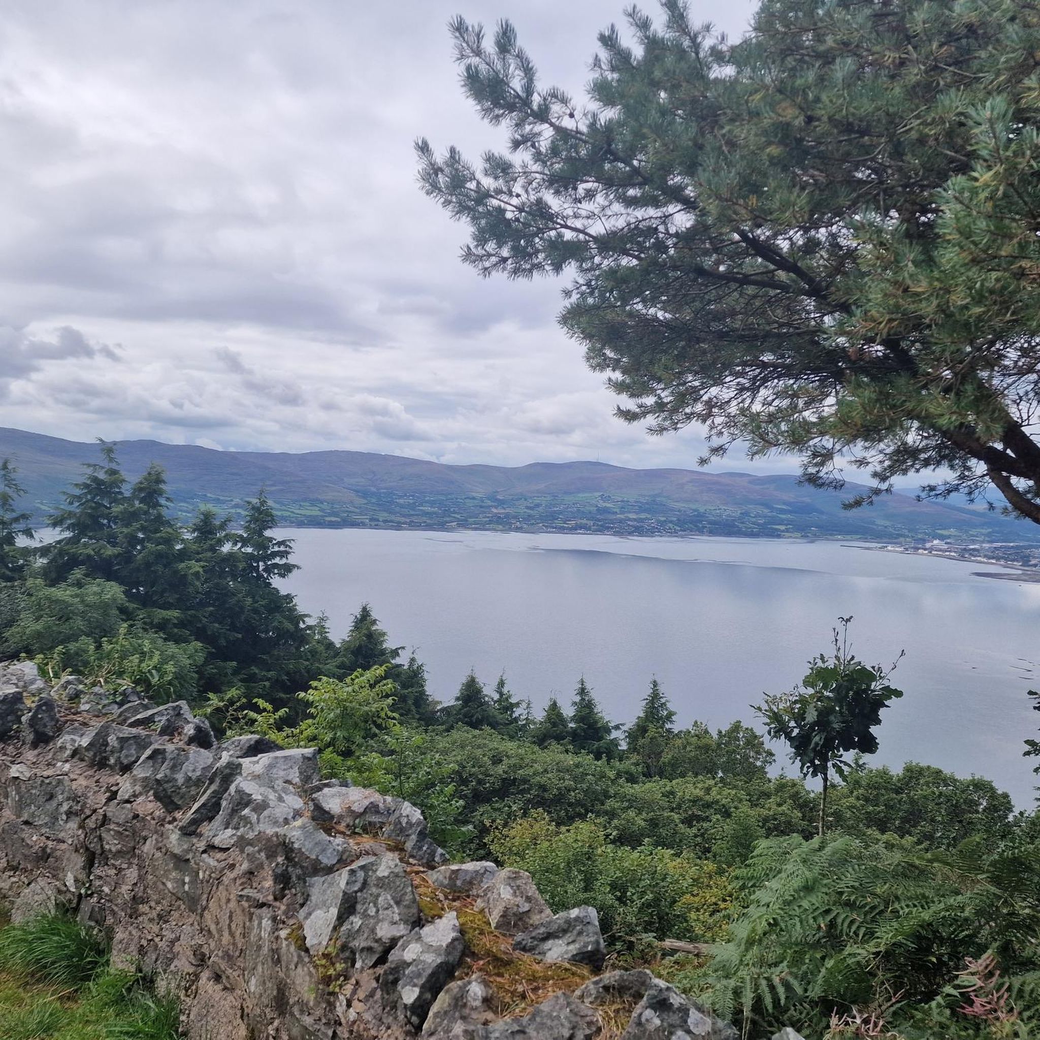
The granite tors on the hilltops provide excellent panoramic viewpoints. A climb up Hen Mountain is famous for its stunning sunrise and sunset views. For a different perspective, the hike to the Cloughmore Stone on Slieve Martin rewards you with breathtaking views over Carlingford Lough. Hare's Gap is another highly-regarded spot offering fantastic vistas.
How long are the typical hikes in this region?
Hikes in the Western Mournes vary greatly. You can find shorter, easier walks of 1-2 hours, especially around places like Silent Valley. Moderate routes are typically between 2-5 hours, covering 4-10 miles (6-16 km). More difficult, multi-peak challenges can take over 5 hours to complete.
What should I pack for a day of hiking in the Mournes?
The weather in the Mournes can change very quickly. Essential items include waterproof clothing (jacket and trousers), sturdy hiking boots, extra warm layers, a map and compass (and know how to use them), a fully charged phone, and plenty of water and snacks. Even on a clear day, it's wise to be prepared for wind and rain.
Is there a good place to grab a pub lunch after a hike?
The nearby villages of Hilltown and Rostrevor offer several traditional pubs and cafes where you can relax after your walk. Hilltown, historically a key village in the region, has welcoming options perfect for a post-hike meal and a pint.
Are there any trails with waterfalls or rivers?
Yes, many trails follow or cross the area's rivers. The popular Mourne Coastal Trail, starting from Bloody Bridge, is well-known for its scenic waterfalls and rock pools. For a peaceful woodland walk alongside a river, the trails within Mourne Park are an excellent choice.
Where is a good place to park for a hike?
Parking availability depends on your chosen route. For hikes around Hen Mountain, there are dedicated roadside parking areas. For trails starting near Spelga Dam, you can use the car park there. Popular spots like Silent Valley Mountain Park and Tollymore Forest Park have large, formal car parks, though a fee may apply.
What do other hikers say about the Western Mournes?
The region is highly rated by the komoot community, with an average of 4.5 stars from over 800 reviews. Hikers often praise the stunning panoramic views from the granite tors, the sense of solitude compared to other areas, and the variety of trails that range from gentle reservoir paths to challenging multi-peak loops.
How many hiking trails are available in the Western Mournes?
There are over 150 hiking routes to explore in the Western Mournes on komoot. These range from 51 easy walks suitable for most abilities to 26 difficult trails that will challenge experienced hillwalkers, ensuring there's a path for every type of adventurer.
Most popular attractions around Mourne Mountains West

Get inspired with the komoot mobile app


Explore more
Browse the best Hikes in other regions.
