The best running trails around Tullycarnan
91
runners
12
runs
Jogging routes around Tullycarnan offer a diverse experience in County Down, Northern Ireland. The region is characterized by its scenic coastal location, bordering the Irish Sea and featuring picturesque villages like Ardglass and Killough. A prominent hillock, known as the "hillock of the little cairn," provides varied terrain and potential for elevated views. The landscape also includes green fields, offering a pleasant backdrop for outdoor exercise.
Best jogging routes around Tullycarnan
- The most popular jogging route is River Quoile –…
Last updated: June 29, 2026
52
runners
11.5km
01:12
100m
100m
Moderate run. Good fitness required. Mostly paved surfaces. Suitable for all skill levels.
9
runners
9.53km
01:00
60m
60m
Moderate run. Good fitness required. Mostly paved surfaces. Suitable for all skill levels.

Sign up for free
4
runners
10.3km
01:04
50m
50m
Moderate run. Good fitness required. Mostly paved surfaces. Suitable for all skill levels.
3
runners
10.6km
01:06
40m
40m
Moderate run. Good fitness required. Mostly paved surfaces. Suitable for all skill levels.
4
runners
Moderate run. Good fitness required. Mostly paved surfaces. Suitable for all skill levels.
Get access to more routes and recommendations from other explorers.
Sign up for free
Already have an account?
Our route recommendations are based on thousands of hikes, rides, and runs completed by other people on komoot.
Start today with a free account
Your next adventure awaits.
Login or Signup
Popular around Tullycarnan
Tips from the Community

The vast coastline stretches out endlessly before you, and the panorama with the majestic Mourne Hills in the background creates a scene that is hard to put into words. The gentle waves touching the sand and the silence of the surroundings make you feel the vastness and freedom of this place.
1
0

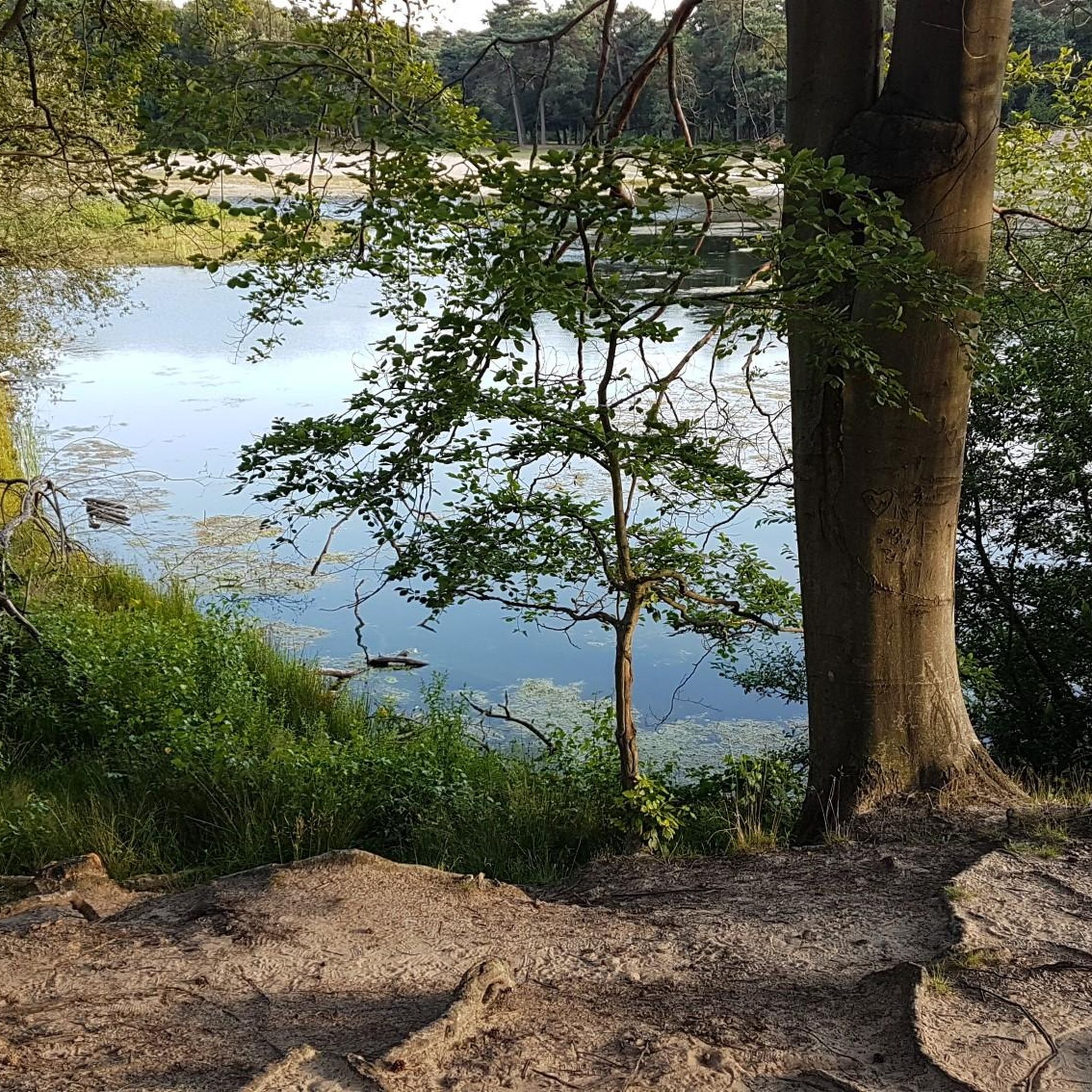
Here is a great vantage point to enjoy the best of the sensational River Quoile. Enjoy beautiful scenery of rounded hills and marshes as you pass the tranquil riverside and keep your eyes peeled for local bird and wildlife that are often seeing relaxing on the water.
2
0

Ballyhornan is sandy beach surrounded by cliffs. Guns Island lies just in the bay. On the horizon it is possible to see the Isle of Man.
1
0
Quoile Bridge is a six arch stone bridge that runs over the River Quoile. The bridge was built around 1680 and may be one of the oldest bridges in County Down!
3
0
Here is a great vantage point to enjoy the best of the sensational River Quoile. Enjoy beautiful scenery of rounded hills and marshes as you pass the tranquil riverside and keep your eyes peeled for local bird and wildlife that is often seeing relaxing on the water.
2
0

Beautiful views across the bay to the Mourne Hills AONB from the fine sandy beach.
2
0

[Translation may change URLs] Saint Patrick Centre (2022-09-25): https://www.saintpatrickcentre.com/ Wikipedia (Saint Patrick Visitor Centre, 2022-09-25): https://en.m.wikipedia.org/wiki/Saint_Patrick_Visitor_Centre Tripadivisor (The Saint Patrick Centre, 2022-09-25): https://www.tripadvisor.com/Attraction_Review-g186477-d212603-Reviews-The_Saint_Patrick_Centre-Downpatrick_County_Down_Northern_Ireland.html google (Street View, 2022-09-25): https://www.google.com/maps/@54.3274104,-5.7186598,3a,90y,290.11h,89.4t/data=!3m7!1e1!3m5!1sciBSUzOAA_Jyb4RvhF7AwQ!2e0!6shttps:%2F%2Fstreetviewpixels-pa.googleapis.com%2Fv1%2Fthumbnail%3Fpanoid%3DciBSUzOAA_Jyb4RvhF7AwQ%26cb_client%3Dmaps_sv.tactile.gps%26w%3D203%26h%3D100%26yaw%3D20.517939%26pitch%3D0%26thumbfov%3D100!7i13312!8i6656
2
0
A really nice sandy beach with a beautiful view of the bay and the small island in front of the bay.
3
0
Frequently Asked Questions
How many running routes are available around Tullycarnan?
There are 12 dedicated running routes around Tullycarnan listed on komoot, offering a variety of experiences for joggers. All of these routes are classified as moderate difficulty.
What kind of terrain can I expect on jogging routes in Tullycarnan?
Jogging routes in Tullycarnan feature a mix of terrain, including scenic coastal paths, green fields, and varied inclines and declines due to the area's prominent hillock, known as the "hillock of the little cairn." This provides a diverse and engaging experience for runners.
Are there any circular running routes in the Tullycarnan area?
Yes, many of the running routes around Tullycarnan are circular, allowing you to start and finish in the same location. For example, the River Quoile – Quoile Bridge loop from Downpatrick, the Running loop from Ardglass, and the Running loop from Killough are all popular circular options.
What are some notable landmarks or attractions I might see while running in Tullycarnan?
While running in the Tullycarnan area, you can encounter several interesting landmarks. Near Ardglass, you might spot Ardglass Harbour. Further afield, you could visit the ancient Ballynoe Stone Circle or the impressive St. John's Point Lighthouse. The region also offers views of the Mourne Mountains from certain points, such as Strangford & Lecale Beach.
Are the running trails in Tullycarnan suitable for beginners or more challenging for experienced runners?
All 12 running routes listed for Tullycarnan are classified as moderate difficulty. This means they are generally suitable for runners with some experience, offering a good balance of distance and elevation without being overly strenuous. Beginners might find them a good challenge to progress their fitness.
What is the typical distance and duration for a running route in Tullycarnan?
The running routes in Tullycarnan vary in length, with distances generally ranging from around 5.9 miles (9.5 km) to 7.1 miles (11.4 km). Most routes can be completed in approximately 1 hour to 1 hour 10 minutes, depending on your pace.
Are there any dog-friendly running routes in Tullycarnan?
While specific dog-friendly designations are not provided for individual routes, many outdoor trails in County Down are suitable for dogs, provided they are kept under control, especially around livestock. It's always best to check local signage and be mindful of other trail users and wildlife. The coastal and green field paths generally offer good space for running with a dog.
Can I find running routes that are suitable for families in Tullycarnan?
The moderate difficulty of the routes suggests they are generally suitable for active families who enjoy running. The scenic coastal views and varied terrain can make for an engaging family outing. For a specific route, consider the Running loop from Rossglass Beach, which offers coastal scenery that families might enjoy.
What do other runners say about jogging in Tullycarnan?
Over 80 runners have explored Tullycarnan's varied terrain using komoot. They often praise the region's diverse landscape, including its coastal paths and green fields, which provide a refreshing backdrop for outdoor exercise. The routes are appreciated for their moderate challenge and scenic beauty.
Are there any running routes that offer sea views in Tullycarnan?
Yes, given Tullycarnan's coastal location, many running routes offer beautiful sea views. Routes like the Running loop from Ardglass and the Running loop from Killough specifically explore the coastal areas, providing refreshing sea breezes and picturesque vistas of the Irish Sea and local harbours.
Is there public transport available to access running routes in Tullycarnan?
Tullycarnan is a townland near coastal villages like Ardglass and Killough. While specific public transport details for each trailhead are not available, local bus services typically connect these villages within County Down. It's advisable to check Translink NI for current routes and schedules to plan your access to the starting points of the running trails.
Where can I find parking for the running trails in Tullycarnan?
For routes starting in or near villages like Ardglass or Killough, you can typically find public parking facilities within the villages themselves. For routes like the River Quoile – Quoile Bridge loop from Downpatrick, parking would be available in Downpatrick. Always look for designated parking areas to ensure convenience and respect for local residents.
Are there cafes or pubs near the running routes in Tullycarnan?
Given that many routes start or pass through coastal villages like Ardglass and Killough, you can expect to find local cafes, pubs, and other amenities in these areas. These establishments offer opportunities for refreshments and a bite to eat before or after your run.
Most popular routes around Tullycarnan
Most popular attractions around Tullycarnan

Get inspired with the komoot mobile app


Explore more
Browse the best Running Trails & Routes in other regions.
