The best road cycling routes around Tollumgrange Upper
5.0
(1)
162
riders
25
rides
Road cycling routes around Tollumgrange Upper are situated within the scenic Mourne Area of Outstanding Natural Beauty (AONB) in County Down, Northern Ireland. The region features varied terrain, including rolling hills, expansive farmland, and coastal roads that offer views of the Irish Sea. Cyclists can expect a mix of gentle gradients and more challenging ascents, with the dramatic granite peaks of the Mourne Mountains providing a backdrop to many routes. The landscape also incorporates loughs and diverse ecosystems, making for…
Last updated: October 1, 2026
2
riders
62.0km
02:58
650m
650m
Moderate road ride. Good fitness required. Some segments of this route may be unpaved and difficult to ride.
5.0
(1)
44
riders
57.4km
02:24
340m
340m
Moderate road ride. Good fitness required. Mostly well-paved surfaces and easy to ride.

18
riders
87.6km
03:59
940m
940m
Hard road ride. Very good fitness required. Mostly well-paved surfaces and easy to ride.
16
riders
48.2km
01:58
310m
310m
Moderate road ride. Good fitness required. Mostly well-paved surfaces and easy to ride.
10
riders
73.5km
03:14
520m
520m
Moderate road ride. Good fitness required. Mostly well-paved surfaces and easy to ride.
Get access to more routes and recommendations from other explorers.
Already have an account?
Our route recommendations are based on thousands of hikes, rides, and runs completed by other people on komoot.
Start today with a free account
Your next adventure awaits.
Popular around Tollumgrange Upper
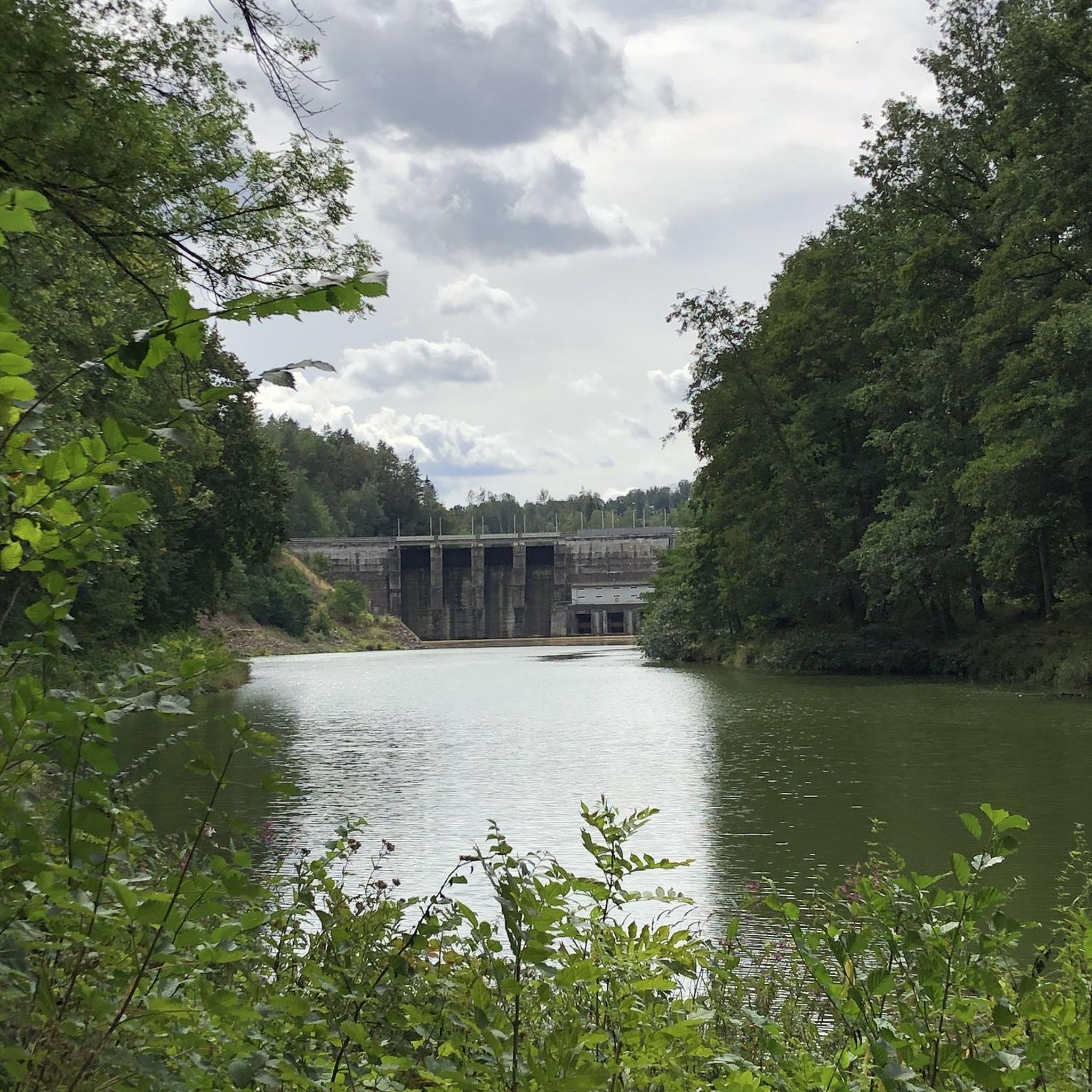
Tips from the Community

This impressive stone circle, dating from the late Neolithic to early Bronze Age, consists of over 50 upright stones enclosing a diameter of around 35 metres. Access is via a narrow hedge-lined path that takes you directly to the entrance of the circle
1
0
This historic 12th century building is a typical example of an Anglo-Norman motte with a kidney-shaped bailey. The 7.6m high mound, which once housed a wooden tower, was later replaced by a stone tower house, the ruins of which can still be seen today. Access is via Clough's main road; there is a small car park, but it is not always well signposted. Access is usually permitted. The surrounding countryside, with views of the Mourne Mountains, offers a tranquil atmosphere that invites you to linger.
1
0
The ancient stone arches are perfectly reflected in the calm water, creating an image of timeless elegance. Cycling along here almost feels like a journey back in time - as if you are capturing a moment in another time.
1
0
This historic 10th century tower stands in idyllic countryside and offers a fascinating insight into Ireland's early Christian history. Access is via narrow country lanes; there is a small car park but it is not always well signposted. The tower is on private farmland but access is usually permitted.
1
0
The small, historic port provides a charming setting with views of the Mourne Mountains and the sea. The promenade is well maintained and is great for a relaxing cruise along the coast. However, it can get quite busy in good weather and at weekends, which can slow down the journey. A highlight is the proximity to Murlough National Nature Reserve, which is just a few kilometers away and is ideal for further exploration. Note, however, that some sections of the promenade can be slippery when wet, so care must be taken.
1
0


Bike parking, nice coffee and eats, friendly staff, nice view of the lough
1
0

The ruined round tower marks the site of an early church founded by the 6th-century St Domongart (Donard), after whom the highest peak in the Mourne Mountains is named. The tower stood to its full height until the early 18th century, when it fell in a great storm, It is built of local granite boulders and shale. Small scale excavation in 1965 showed evidence of Early Christian activity near the tower. In the oval graveyard east of the parish church is the ruin of the medieval parish church, probably 13th century in date.
1
0
Frequently Asked Questions
How many road cycling routes are available around Tollumgrange Upper?
There are over 25 road cycling routes available around Tollumgrange Upper. These include a diverse range of options, with 14 easy routes, 14 moderate routes, and 1 challenging route, catering to various fitness levels and preferences.
What kind of terrain can I expect when road cycling around Tollumgrange Upper?
The region offers a varied and dynamic cycling environment. You can expect a mix of rolling hills, expansive farmland, and scenic coastal roads with views of the Irish Sea. The dramatic granite peaks of the Mourne Mountains provide a stunning backdrop, and while some routes feature gentle gradients, others include more challenging ascents. The landscape also incorporates peaceful loughs and diverse ecosystems, from moorland to woodlands.
Are there road cycling routes suitable for beginners or families?
Yes, Tollumgrange Upper offers several routes suitable for beginners and families. There are 14 easy-grade routes available, which typically feature more gentle gradients and shorter distances, making them ideal for a relaxed ride. For example, the Ballyhornan Beach – Killough–Strangford Loop loop from Ballymurry is an easy 14.6-mile (23.5 km) coastal trail.
Are there any more challenging road cycling routes for experienced cyclists?
While the majority of routes are easy to moderate, there is at least one challenging route available for experienced cyclists seeking a more demanding ride. The region's varied terrain, including the backdrop of the Mourne Mountains, can provide segments with significant elevation gains, even on moderate routes. For instance, the Slieve Donard Hotel – Dundrum Castle loop from Killough, though moderate, covers 35.6 miles (57.2 km) with over 340 meters of elevation gain.
Can I find circular road cycling routes in the area?
Yes, many of the road cycling routes around Tollumgrange Upper are designed as loops, offering a convenient way to explore the region without retracing your path. Examples include the Slieve Donard Hotel – Dundrum Castle loop from Killough and the Quoile River View – Down Cathedral loop from Ballynoe Stone Circle, both popular circular options.
What landmarks or viewpoints can I see along the road cycling routes?
The routes offer opportunities to see various landmarks and enjoy scenic viewpoints. You might encounter historical sites like Castle Ward Tower (a filming location for Winterfell) or the historic Castle Ward itself. Coastal rides can lead you past the St. John's Point Lighthouse and offer views of Ardglass Harbour. The broader region, part of the Mourne AONB, is known for its stunning landscapes where mountains sweep down to the sea, providing numerous natural vistas.
Is there public transport access to the road cycling routes?
While specific public transport links directly to every trailhead may vary, the region is generally accessible. For detailed information on bus routes and train services that might connect to towns near cycling starting points, it's advisable to check local transport provider websites for County Down, Northern Ireland.
Where can I park my car when visiting the road cycling routes?
Parking is available at various points throughout the region, often near popular starting locations or attractions. For example, Castle Ward Shore Car Park is one option if you plan to cycle in that vicinity. Many towns and villages along the routes will also have public parking facilities.
What is the best time of year to go road cycling around Tollumgrange Upper?
The best time for road cycling around Tollumgrange Upper is typically during the spring, summer, and early autumn months (April to October). During these periods, the weather is generally milder, with longer daylight hours and less rainfall, making for more pleasant riding conditions. The vibrant seasonal colors of the moorland and woodlands also add to the scenic beauty.
What do other road cyclists enjoy the most about road cycling in Tollumgrange Upper?
The road cycling experience in Tollumgrange Upper is highly rated by the komoot community, with an average score of 5.0 stars. Cyclists often praise the diverse terrain, from rolling hills and farmlands to coastal roads with stunning views of the Irish Sea and the dramatic backdrop of the Mourne Mountains. The variety of routes, catering to different skill levels, and the opportunity to explore scenic landscapes and historical sites are frequently highlighted.
Are there any long-distance road cycling routes in the area?
Yes, the region is home to significant long-distance cycling opportunities. The 82-mile (131.7 km) circular Strangford Lough Cycle Trail is a major draw, offering stunning scenic views of Strangford Lough, the Irish Sea coast, and the Mourne Mountains. This trail features both quiet country roads and traffic-free sections, making it an excellent option for longer rides.
Can I find routes with cafes or amenities along the way?
Many road cycling routes around Tollumgrange Upper pass through or near towns and villages where you can find cafes, pubs, and other amenities. Planning your route in advance and checking for stops in places like Killough, Dundrum, or other coastal towns will ensure you have opportunities for refreshments and breaks.
What makes the Mourne Mountains region unique for road cycling?
The Mourne Mountains region, where Tollumgrange Upper is situated, is unique for its dramatic and diverse landscape. It's part of the Mourne Area of Outstanding Natural Beauty (AONB), offering a rare combination of granite mountains, rolling hills, expansive farmland, and a rugged coastline where the mountains sweep down to the sea. This provides cyclists with constantly changing scenery, from challenging mountain ascents to peaceful coastal stretches and historic sites, all within a relatively compact area.
Most popular routes around Tollumgrange Upper
Most popular attractions around Tollumgrange Upper

Get inspired with the komoot mobile app


Explore more
Browse the best Road cycling routes in other regions.
