The best mountain hikes around Beilngries
5.0
(1)
11
hikers
3
hikes
Mountaineering routes around Beilngries traverse the scenic Altmühl Valley, characterized by its distinctive limestone formations, dense forests, and the meandering Altmühl River. The terrain primarily consists of rolling hills and valleys, offering varied elevation changes suitable for moderate mountaineering. This region, part of Landkreis Eichstätt, provides a landscape shaped by ancient rivers and geological processes, creating a mix of open views and sheltered woodland paths.
Best mountaineering routes around Beilngries
- The most popular mountaineering route is East ascent to Michelsberg…
Last updated: August 15, 2026
5.0
(1)
6
hikers
Moderate mountaineering route. Good fitness required. Mostly accessible paths. Sure-footedness required.
Get access to more routes and recommendations from other explorers.
Sign up for free
Already have an account?
Our route recommendations are based on thousands of hikes, rides, and runs completed by other people on komoot.
Start today with a free account
Your next adventure awaits.
Login or Signup
Popular around Beilngries
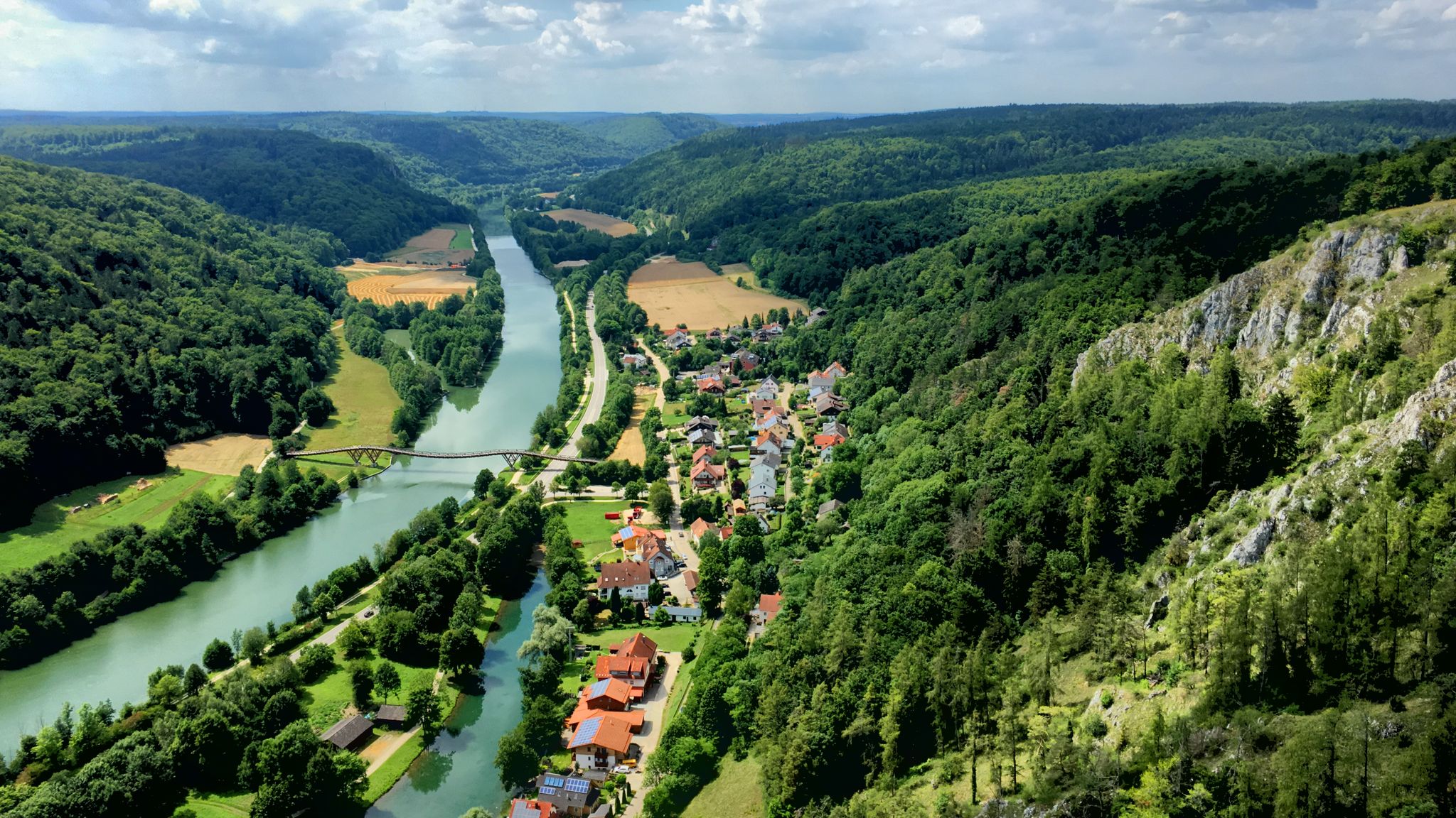
The Altmühltal cycle path — fantastic nature & fairytale castles
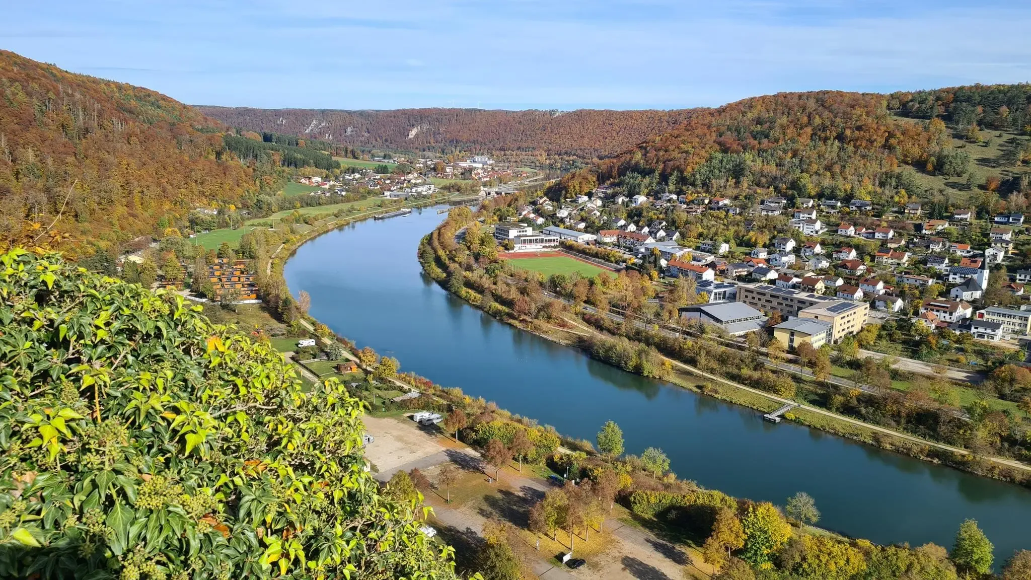
Golden trails – autumn hiking in Altmühltal
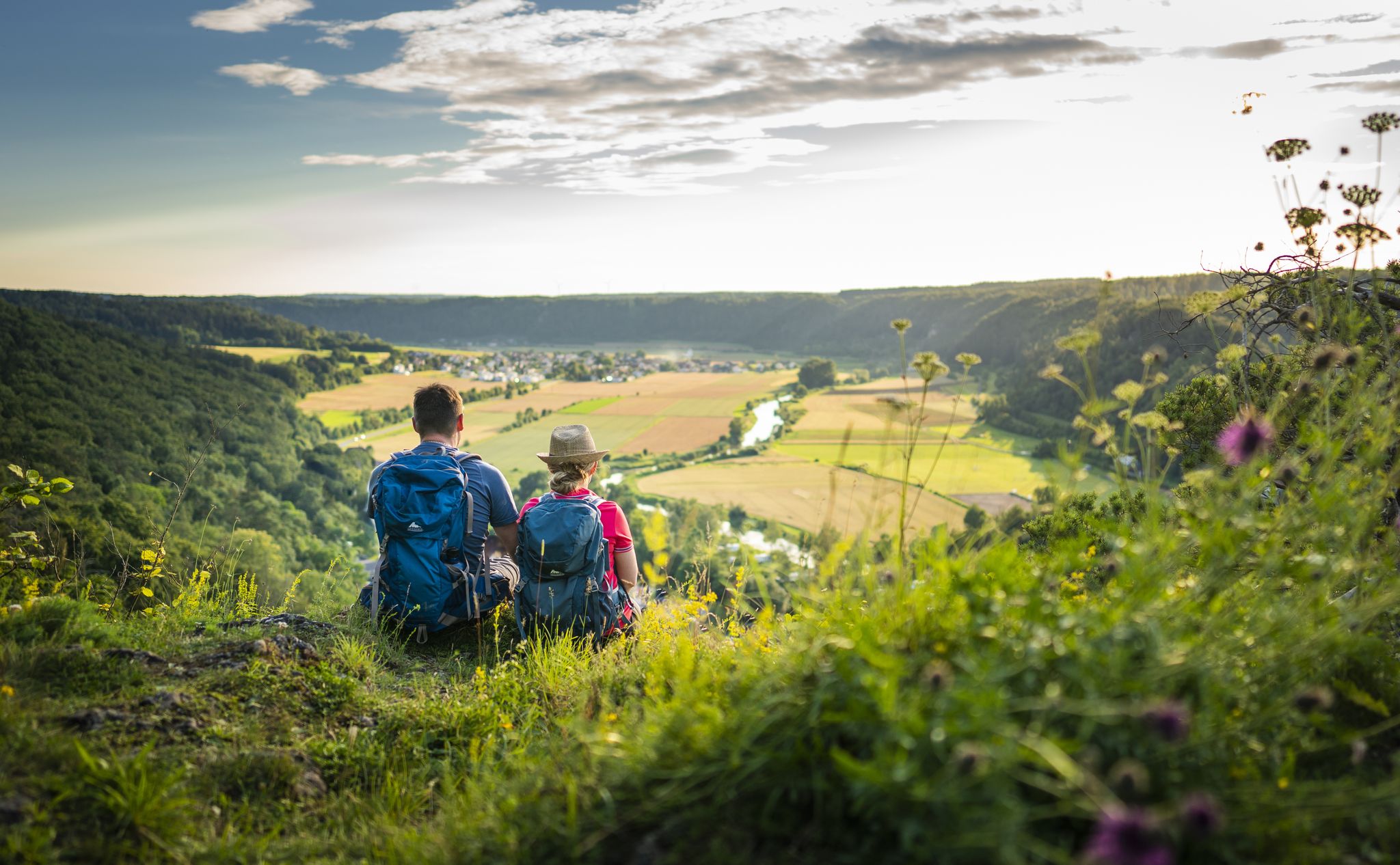
Sunny hiking loops – glorious autumn in the Altmühltal Nature Park
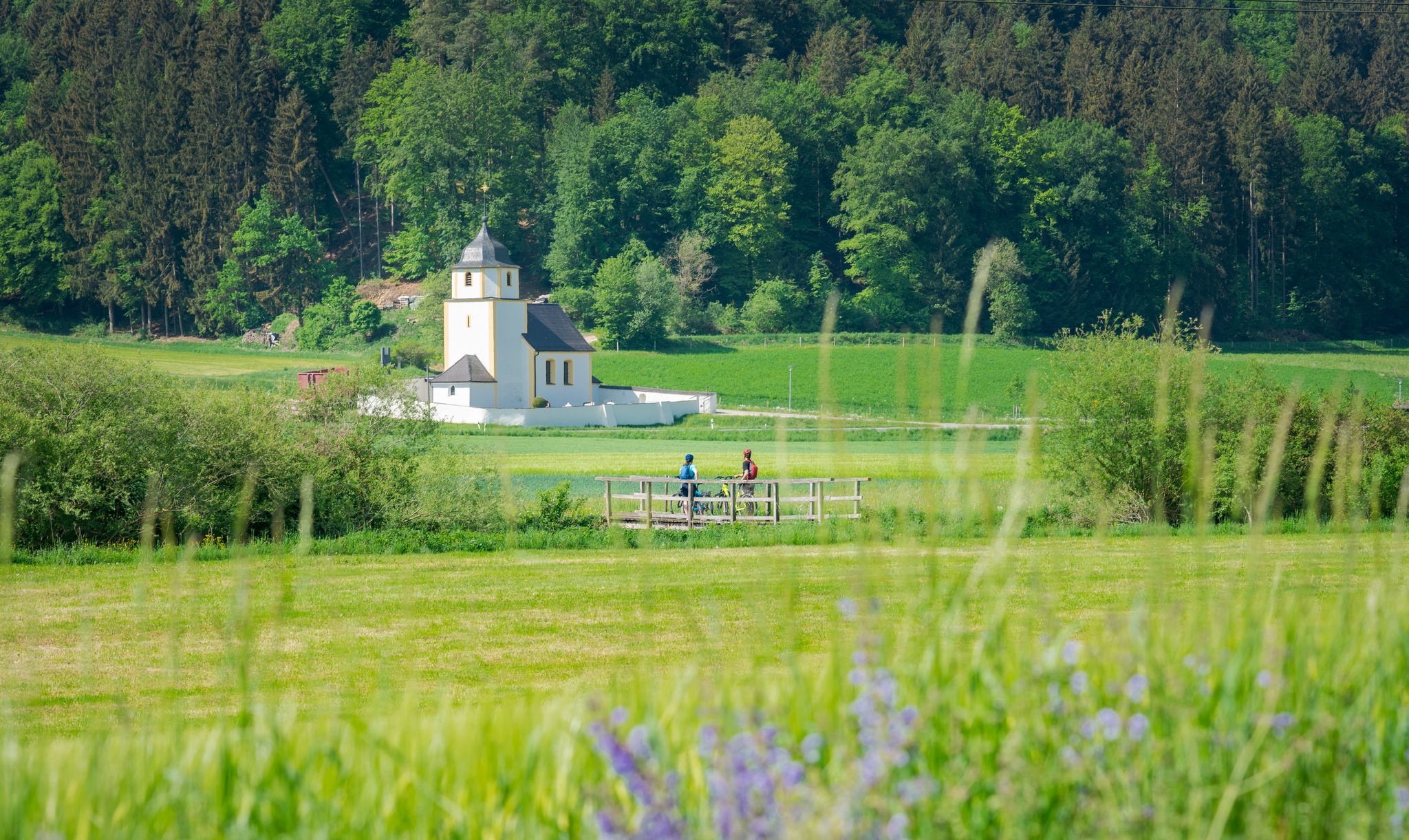
A cycling paradise in Bavaria – Altmühl Valley Nature Park
Hiking in the Altmühl Valley Nature Park – Jura2000-Tour
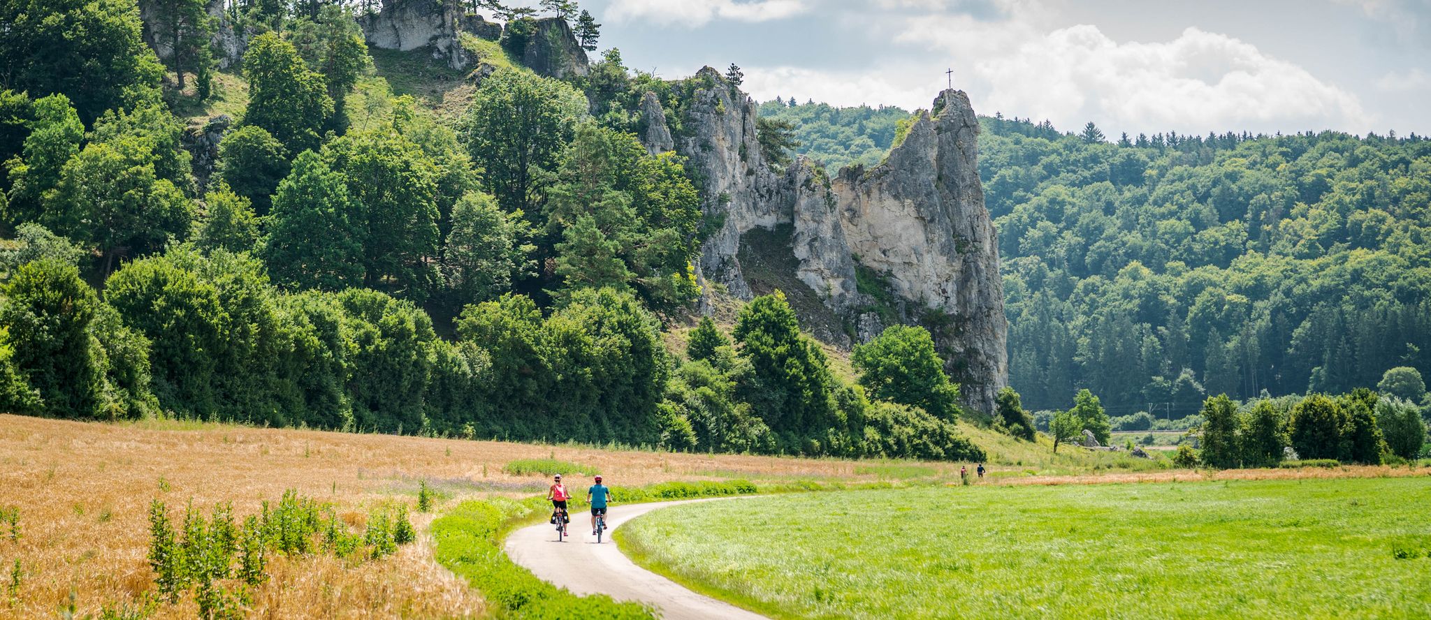
Pure variety – cycle Tours in the Altmühltal Nature Park
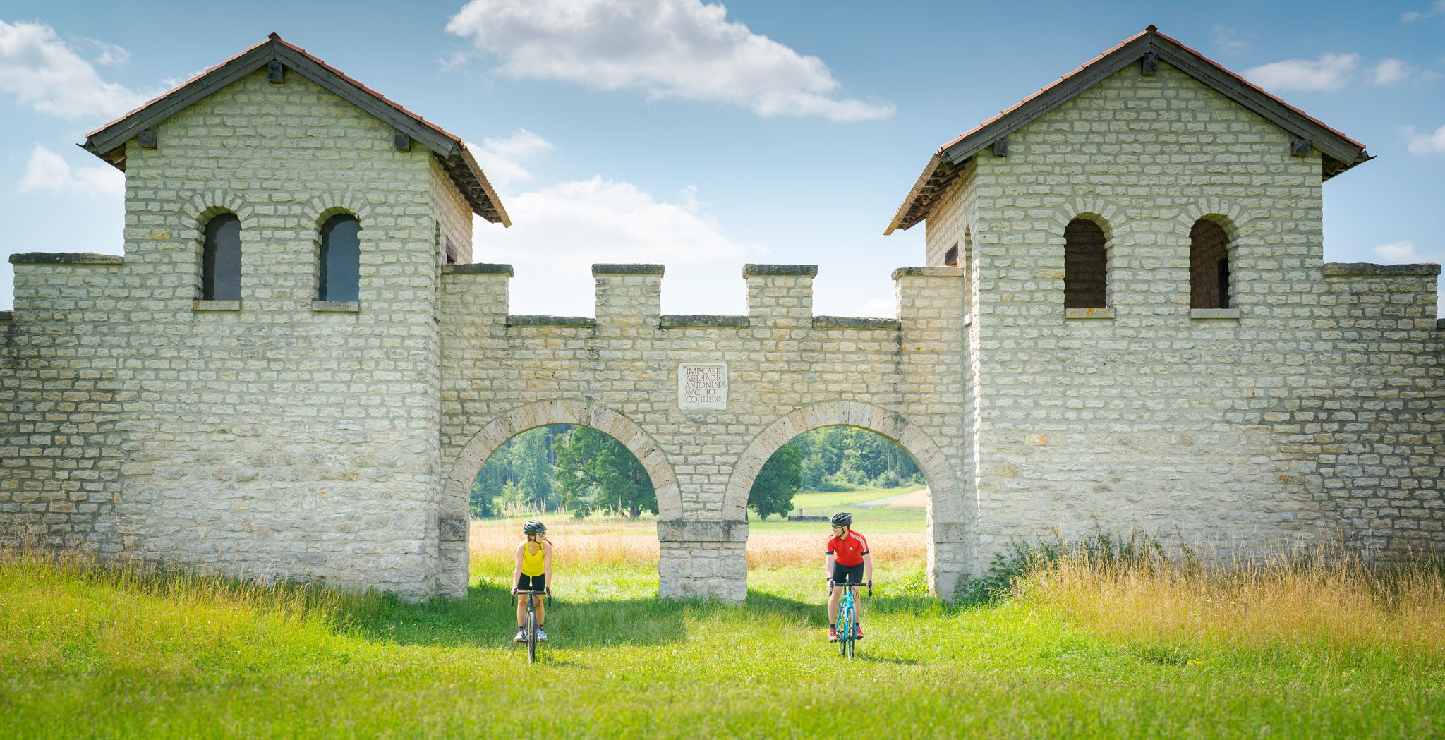
River valleys to plateaus – gravel cycling in Altmühltal Nature Park
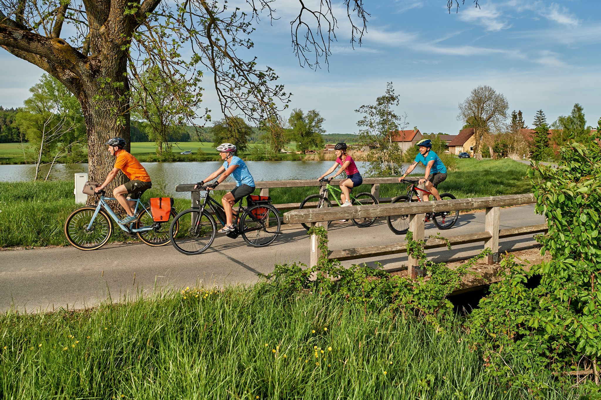
The Tauber Altmühl cycle path - cycling along two picturesque rivers
Altmühltal Panorama Trail – Altmühlsee to the Danube
Gut essen, gut wandern – Kulinarische Touren im Naturpark Altmühltal
Other adventures around Beilngries


Tips from the Community

Highly recommended on sunny days, far-reaching view as far as Gungolding
0
0

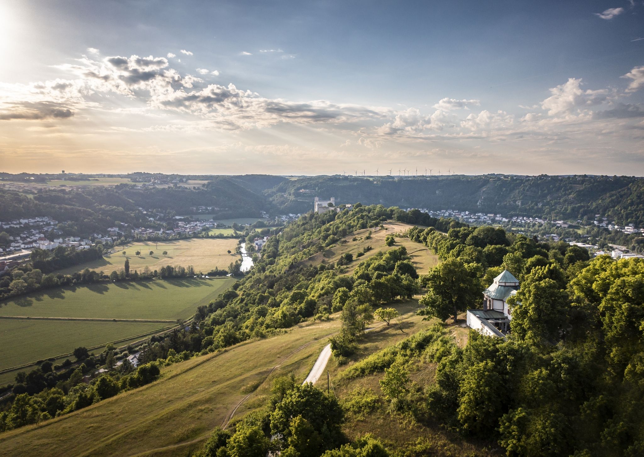
Near the well-known hotspot of the castle ruins high above the town of Arnsberg, there is a somewhat hidden viewpoint. The open slope with a view of the Altmühl Valley is easily visible from the narrow paved road leading to the castle ruins. Otherwise, there are no other signs or directions. A relatively visible, grassy trail leads slightly downhill to the slope's edge. From there, you have a magnificent view of the Altmühl Valley, west toward Gungolding, below Arnsberg, and east toward Regelmannsbrunn and the Altmühl meadows. You are also in impressive proximity to the striking dolomite cliffs on which Arnsberg Castle was once built. ATTENTION! This viewpoint is not official. Enter at your own risk! There is a danger of falling! The viewpoint directly at the ruins, with its railings and benches, is safer.
0
0

Beautiful view down into the valley.
0
1

The southern viewing rock Michelsberg in the Altmühltal offers breathtaking panoramic views of the surrounding landscape and is a popular place for nature lovers and hikers.
0
1

From the Frlskante above Arnsberg there is a great view down to the town
0
0
The view sweeps up the Altmühltal.
0
1


Beautiful view of Arnsberg and the Altmühltal. There is also a bench to sit on.
0
0
Frequently Asked Questions
How many mountaineering routes are covered in this guide for Beilngries?
This guide features 4 moderate mountaineering routes around Beilngries, offering diverse experiences through the scenic Altmühl Valley.
What is the typical difficulty level of mountaineering routes around Beilngries?
The mountaineering routes in this guide are all rated as moderate. They involve varied terrain with rolling hills and valleys, suitable for those with a reasonable level of fitness.
Are there any circular mountaineering routes available near Beilngries?
Yes, all the mountaineering routes featured in this guide are circular loops, allowing you to start and end at the same point. For example, you can explore the East ascent to Michelsberg – Kipfenberg Castle loop from Landkreis Eichstätt.
What kind of landscapes can I expect on these mountaineering routes?
The routes traverse the scenic Altmühl Valley, characterized by distinctive limestone formations, dense forests, and the meandering Altmühl River. You'll encounter a mix of open views and sheltered woodland paths, shaped by ancient rivers and geological processes.
Are there any historical or natural landmarks to see along the routes?
Yes, several routes pass by interesting landmarks. For instance, the Roman bridge Kinding – Rock Arch Unteremmendorf loop from Kinding features historical elements like the Roman bridge and natural rock formations such as the Rock Arch Unteremmendorf. You can also find views of castles like Kipfenberg Castle.
What is the longest mountaineering route in this guide?
The longest route in this guide is the Riedenburg Old Town – View of Riedenburg loop from Obereggersberg, which covers a distance of 15.7 km (9.8 miles) and typically takes around 4 hours 35 minutes to complete.
What is the shortest mountaineering route in this guide?
The shortest route in this guide is the Rock Arch Unteremmendorf – Kindinger Klause Cave loop from Unteremmendorf, spanning 8.8 km (5.5 miles) and usually completed in about 2 hours 31 minutes.
Are the mountaineering routes suitable for families?
Given that all routes are rated as moderate, they can be suitable for families with older children who are accustomed to hiking. The varied terrain and scenic views offer an engaging experience, but younger children might find the longer distances challenging.
What is the best time of year for mountaineering in Beilngries?
Spring and autumn are generally ideal for mountaineering in the Altmühl Valley, offering pleasant temperatures and beautiful scenery. Summer can also be enjoyable, especially in the shaded forest sections, but be prepared for warmer weather. Winter mountaineering is possible, but conditions can be more challenging with snow or ice.
Are there good viewpoints along the mountaineering routes?
Yes, the region offers several excellent viewpoints. For example, the East ascent to Michelsberg – Kipfenberg Castle loop from Landkreis Eichstätt provides views of Michelsberg. You can also find panoramic views of the Altmühl Valley from spots like the Arnsberg Castle ruins.
What should I pack for a mountaineering trip in Beilngries?
For mountaineering in Beilngries, it's advisable to pack sturdy hiking boots, weather-appropriate clothing (layers are recommended), sufficient water and snacks, a map or GPS device, and sun protection. Given the moderate difficulty, trekking poles can also be helpful on some sections.
Are there options for refreshments or pubs near the mountaineering routes?
The Altmühl Valley region has several charming towns and villages, such as Beilngries and Kinding, where you can find local pubs, restaurants, and cafes to enjoy refreshments after your mountaineering trip. It's a good idea to check opening times in advance, especially in smaller villages.
Most popular routes around Beilngries
Most popular attractions around Beilngries

Get inspired with the komoot mobile app


Explore more
Browse the best Mountain Hikes & Routes in other regions.
