The best walks and hikes around Tullybranigan
4.6
(1331)
11,286
hikers
229
hikes
Hiking around Tullybranigan offers a diverse landscape, characterized by coastal paths, river valleys, and areas featuring quarries and waterfalls. The region provides a mix of terrain, from gentle beachside strolls to more challenging routes with varied elevation. This area is situated near the coast, incorporating both maritime and inland natural features.
Best hiking trails around Tullybranigan
- The most popular hiking route is Newcastle Way, a 13.2 miles (21.2 km) trail that takes 5 hours 22 minutes to complete. This…
Last updated: July 2, 2026
5.0
(2)
27
hikers
21.2km
05:22
40m
40m
Embark on the Newcastle Way, a difficult hiking route that stretches for 13.2 miles (21.2 km) and involves a modest 138 feet (42 metres) of elevation gain. This trail offers…
4.6
(41)
156
hikers
20.0km
06:16
680m
680m
Hard hike. Very good fitness required. Mostly accessible paths. Sure-footedness required.

Sign up for free
4.8
(6)
59
hikers
8.80km
02:23
120m
120m
Moderate hike. Good fitness required. Easily-accessible paths. Suitable for all skill levels.
4.5
(4)
61
hikers
6.27km
01:38
40m
40m
Easy hike. Great for any fitness level. Easily-accessible paths. Suitable for all skill levels.
5.0
(1)
43
hikers
7.17km
02:16
240m
230m
Moderate hike. Good fitness required. Mostly accessible paths. Sure-footedness required.
Get access to more routes and recommendations from other explorers.
Sign up for free
Already have an account?
Our route recommendations are based on thousands of hikes, rides, and runs completed by other people on komoot.
Start today with a free account
Your next adventure awaits.
Login or Signup
Tips from the Community


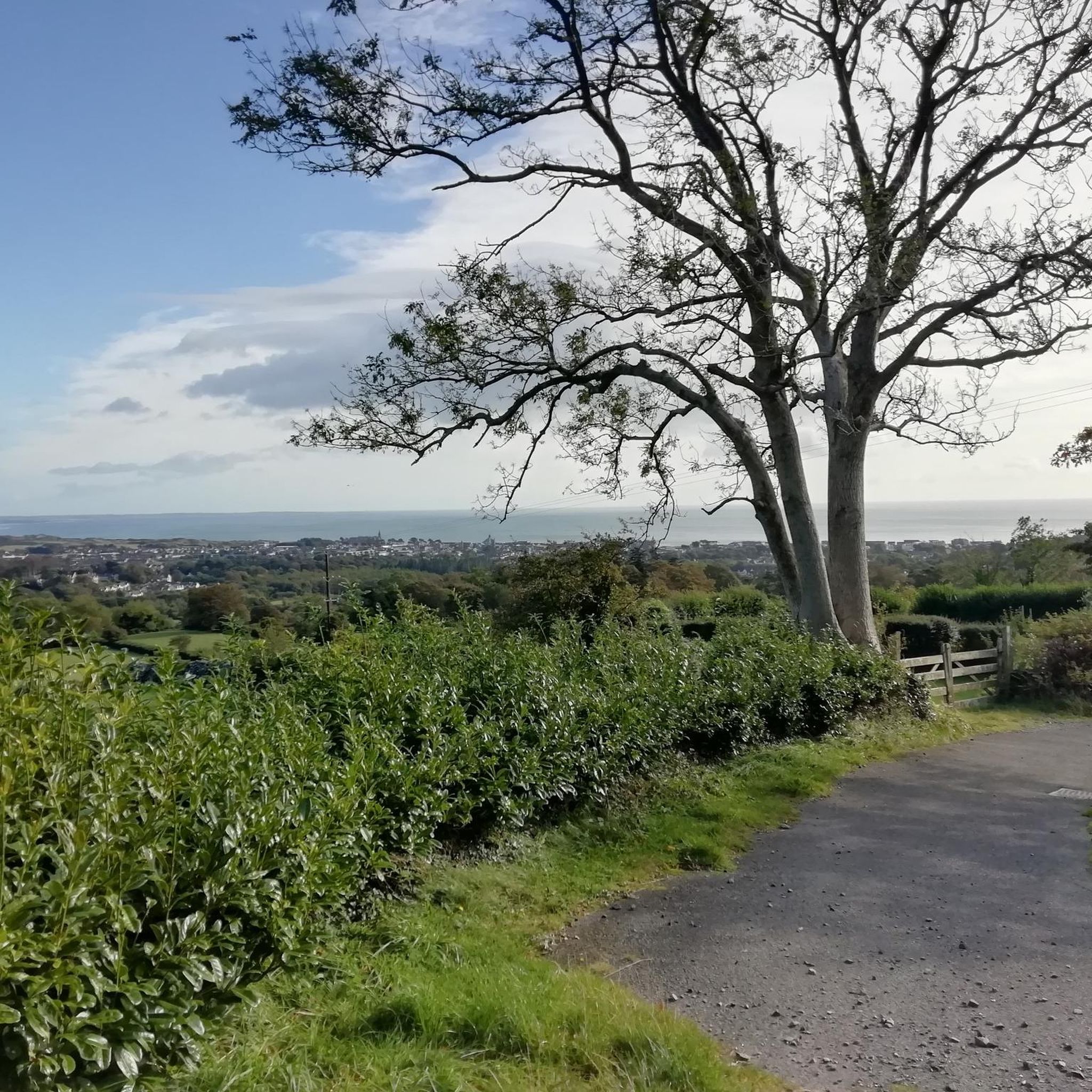
The small, historic port provides a charming setting with views of the Mourne Mountains and the sea. The promenade is well maintained and is great for a relaxing cruise along the coast. However, it can get quite busy in good weather and at weekends, which can slow down the journey. A highlight is the proximity to Murlough National Nature Reserve, which is just a few kilometers away and is ideal for further exploration. Note, however, that some sections of the promenade can be slippery when wet, so care must be taken.
1
0

Super nice break spot
0
0
Not appreciated when bathing there
0
0
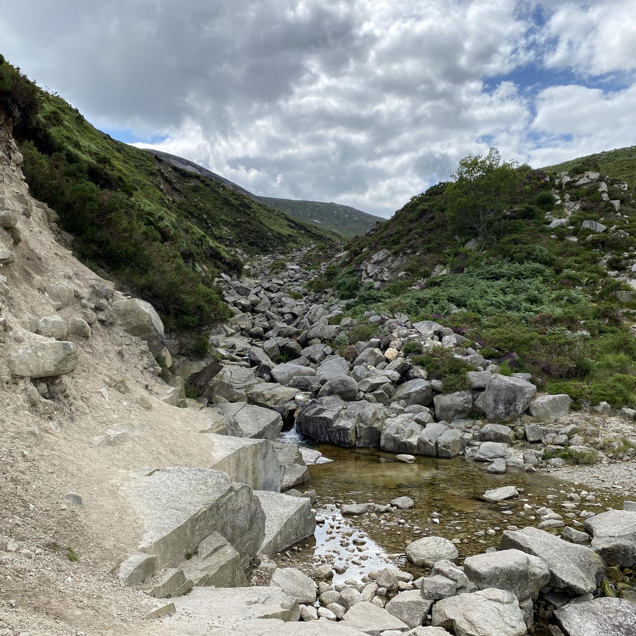
The stones are used to cross the river
0
0
Our bridge crossing, the water underneath plays wildly between the stones
0
0
Frequently Asked Questions
How many hiking trails are available around Tullybranigan?
There are over 230 hiking routes in the Tullybranigan area, catering to various skill levels. You'll find approximately 80 easy trails, 115 moderate routes, and nearly 40 more challenging options.
Are there family-friendly hiking options in Tullybranigan?
Yes, Tullybranigan offers several family-friendly walks. The Newcastle Harbour – Newcastle Beach loop from Newcastle is an easy, coastal trail that's great for a leisurely stroll. Many of the easier routes are suitable for families.
Can I bring my dog on the hiking trails?
Many trails in the Tullybranigan area, particularly those in open countryside or along coastal paths, are suitable for dogs. However, it's always best to check local signage for specific restrictions, especially in nature reserves or areas with livestock. Always keep dogs under control and clean up after them.
Are there any circular walks available?
Yes, the region features several excellent circular walks. A popular moderate option is the Boundary Bridge – Parnell's Bridge loop from Newcastle, which includes scenic river crossings. Another easy circular route is the Newcastle Beach – Newcastle Harbour loop from Newcastle.
Are there trails that feature waterfalls or quarries?
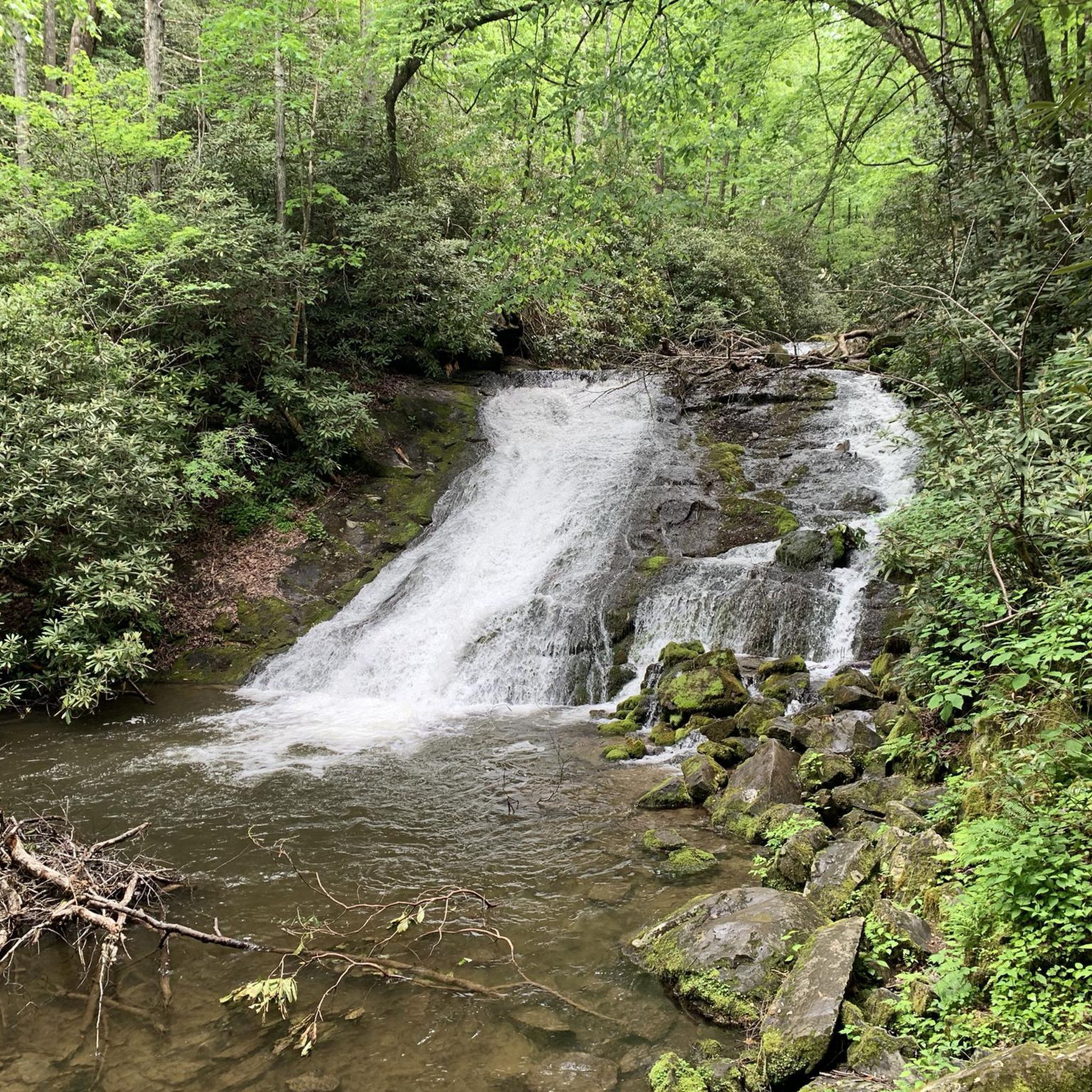
Absolutely. The Thomas's Quarry and Waterfall – Donard Park Waterfall loop from Newcastle is a moderate trail that specifically explores a quarry and leads to a waterfall, offering a unique landscape experience.
What kind of natural attractions can I see along the trails?
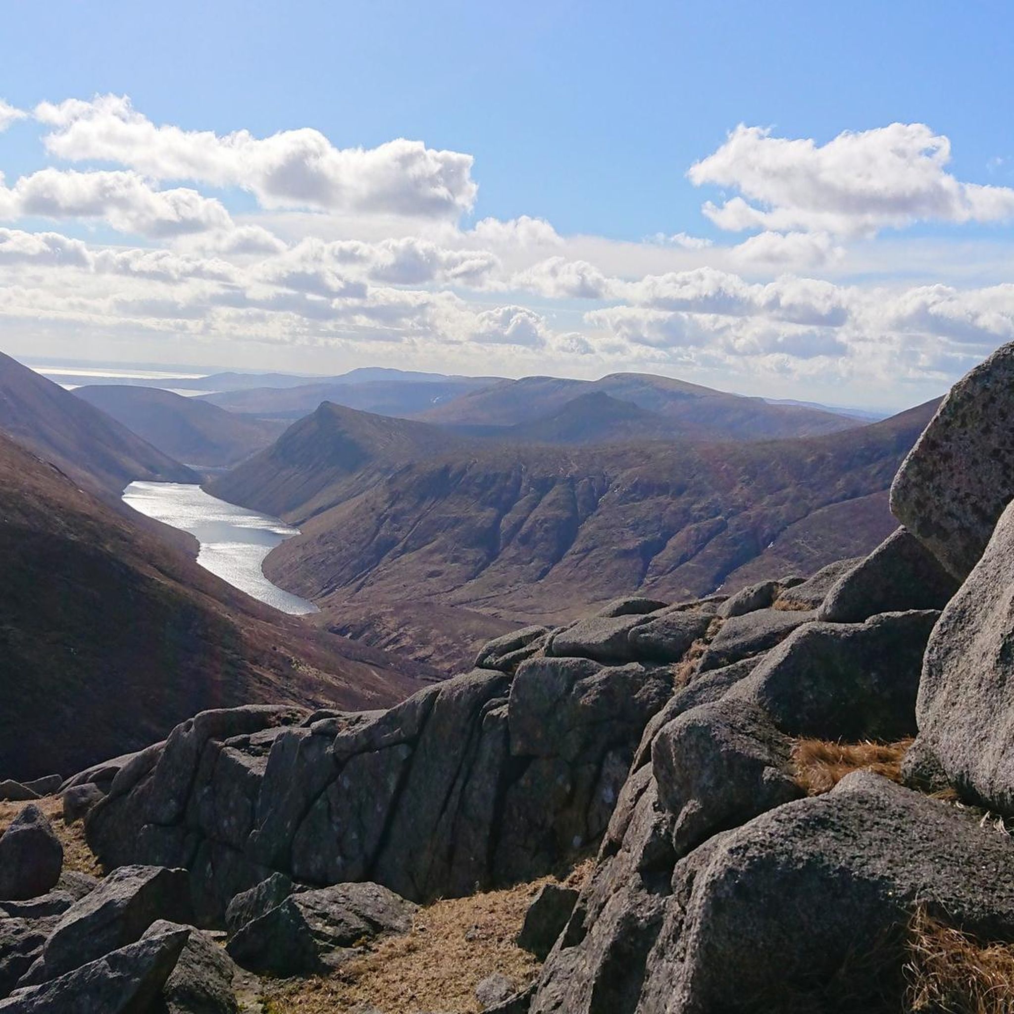
The trails around Tullybranigan offer access to diverse natural attractions. You can encounter stunning mountain views from peaks like Slieve Bearnagh or the Summit of Slieve Donard. There are also beautiful forest parks like Tollymore Forest Park and serene lakes such as Silent Valley Reservoir and Blue Lough.
What is the best time of year to hike in Tullybranigan?
Spring and autumn generally offer pleasant hiking conditions with milder temperatures and beautiful scenery, especially with changing foliage. Summer is popular but can be busy. Winter hikes are possible, but require appropriate gear for potentially colder, wetter, or icy conditions, particularly on higher ground.
What do other hikers enjoy most about the trails here?
The trails in Tullybranigan are highly regarded by the komoot community, with an average rating of 4.6 stars from over 1250 reviews. Hikers often praise the diverse landscapes, from coastal paths and river valleys to the more rugged mountain areas, and the variety of routes suitable for all abilities.
Are there any long-distance hiking routes in the area?
Yes, for those seeking a longer challenge, the Newcastle Way is a difficult 21.2 km (13.2 miles) trail that provides an extensive experience through varied landscapes, typically taking over 5 hours to complete.
Are there opportunities for wild swimming near the hiking trails?
While not explicitly designated for swimming, natural bodies of water like Blue Lough are present in the region. Always exercise caution, be aware of water safety, and respect local regulations if considering wild swimming.
What should I wear when hiking in the Mourne Mountains area?
When hiking in the Tullybranigan and Mourne Mountains area, it's advisable to dress in layers, as weather conditions can change rapidly. Waterproof and windproof outer layers are essential, along with sturdy hiking boots. Even on warmer days, carry extra layers, a hat, and gloves, especially for higher elevations.
Where can I find parking for the hiking trails?
Parking is generally available at common starting points for trails, such as in Newcastle town or near popular trailheads. For specific routes, it's recommended to check the route details on komoot, as many tours provide information on nearby parking facilities.
Most popular attractions around Tullybranigan

Get inspired with the komoot mobile app


Explore more
Browse the best Hikes in other regions.
