The best running trails around Tullyratty
341
runners
32
runs
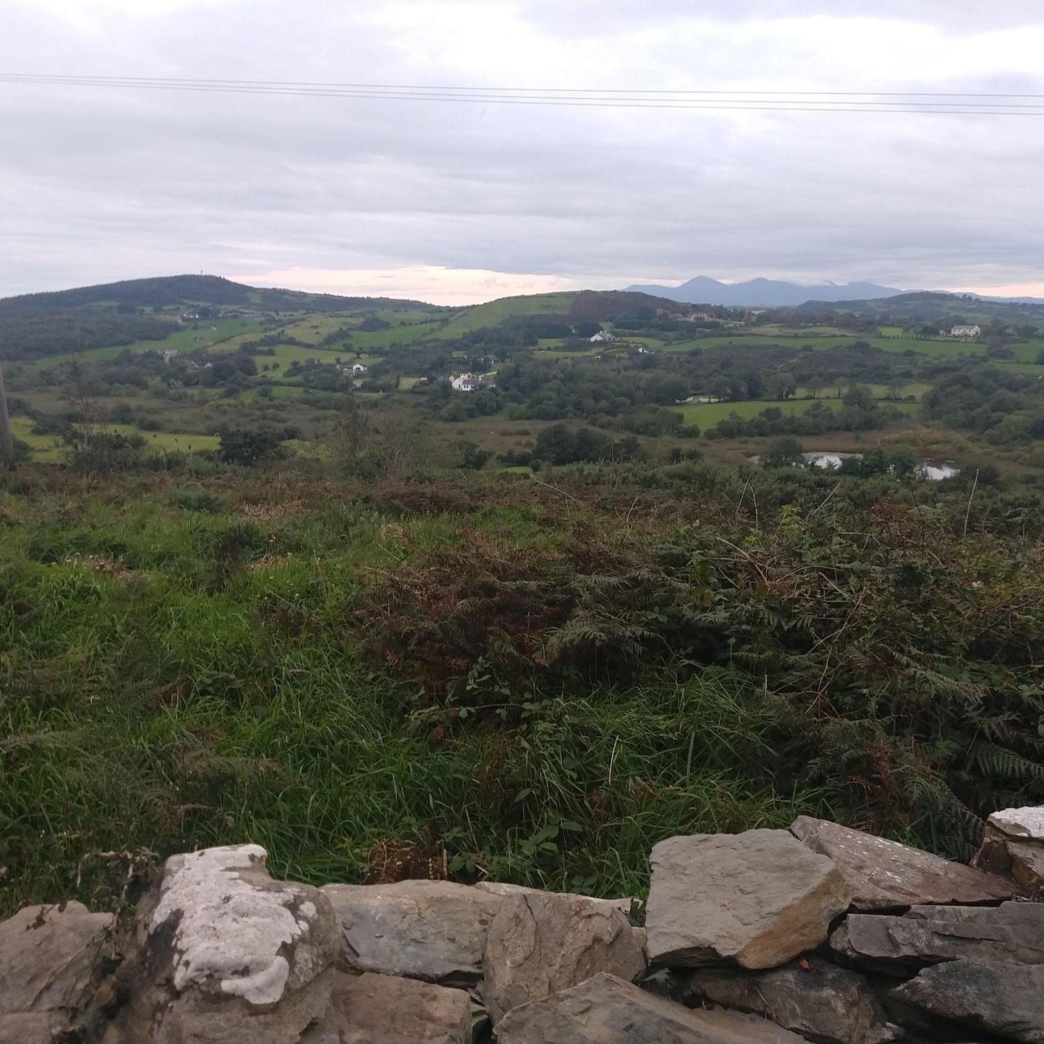
Jogging routes around Tullyratty traverse a landscape characterized by rolling drumlin hills and species-rich lowland meadows, part of the Tullyratty Area of Special Scientific Interest (ASSI). The varied topography includes gentle gradients and moderate ascents, providing diverse running challenges. Quiet country roads and tracks wind through green pastures and agricultural land, offering a peaceful and scenic environment for running.
Best jogging routes around Tullyratty
- The most popular jogging route is Castle Ward Hoof Trail run from Strangford — Strangford &…
Last updated: October 2, 2026
50
runners
15.7km
01:49
160m
150m
Embark on the difficult Castle Ward Hoof Trail run, a challenging 9.7-mile (15.7 km) route that will take you about 1 hour and 49 minutes to complete. You will gain…
37
runners
7.73km
00:49
60m
60m
Moderate run. Good fitness required. Mostly paved surfaces. Suitable for all skill levels.

14
runners
10.9km
01:09
100m
100m
Moderate run. Good fitness required. Mostly paved surfaces. Suitable for all skill levels.
20
runners
10.1km
01:04
100m
100m
Moderate run. Good fitness required. Mostly paved surfaces. Suitable for all skill levels.
8
runners
Moderate run. Good fitness required. Mostly paved surfaces. Suitable for all skill levels.
Get access to more routes and recommendations from other explorers.
Already have an account?
Our route recommendations are based on thousands of hikes, rides, and runs completed by other people on komoot.
Tips from the Community

This section feels like a green oasis - the path winds through dense trees that provide cool shade and create the perfect contrast to the warm summer sun. The leaves rustle gently in the wind and there is a peaceful silence that immediately relaxes you. As soon as you leave the forest, the landscape opens up and reveals a view of wide fields that dance like waves in the wind. Here you feel completely connected to nature, a moment to enjoy and take a deep breath before moving on. A real insider tip for a relaxed tour in the countryside!
0
0
This 15th-century three-storey tower house stands on a rocky outcrop overlooking Strangford Lough and offers commanding views of the surrounding countryside. Named after its 16th-century owner, John Audley, the tower is a typical example of the numerous stone towers built for the lesser nobility in the late Middle Ages.
1
1
The rustling of the leaves under the tires and the fresh autumn air make the ride a sensual experience. Stopping here for a moment to take in the colors and the peace is simply a must. A little moment of slowing down before hitting the road again - pure autumn magic for cyclists!
0
0
When you cycle along the banks of this natural harbour, you immediately feel the special atmosphere of this place, which has been designated an Area of Outstanding Natural Beauty. The lough stretches an impressive 26 kilometres in length and impresses with over 365 small islands, many of which dry out at low tide. On your way you will repeatedly come across fascinating traces of long-gone cultures: from Mesolithic sites to Bronze Age remains to stone fish fences that were used by the early inhabitants for fishing. The Køkkenmøddinger are particularly interesting - shell heaps made of local oysters that have survived for thousands of years. There is a lot to discover in places like Mahee Island or Rough Island, and at low tide you can even reach Rough Island on foot. If you are up for a little effort, the climb up Scrabo Hill near Newtownards is worth it. From up there you have a magnificent view: Belfast stretches out to the west, the Mourne Mountains to the south, and on a clear day you can see the Ards Peninsula and even the Isle of Man. This hill has a long history - it has been inhabited since the Neolithic period. Strangford Lough is not only scenically beautiful, but also an exciting area for anyone interested in archaeology and history. Whether you are interested in nature or history, this tour around the lough is sure to be a memorable one.
1
0
The combination of the historic architecture of the manor house and the surrounding landscape is truly worth seeing.
1
0

Wikipedia (Audley's Castle, 2022-10-08): https://en.m.wikipedia.org/wiki/Audley%27s_Castle https://de.m.wikipedia.org/wiki/Audley%E2%80%99s_Castle Official tourism website for Northern Ireland (Audley's Castle, 2022-10-08): https://discovernorthernireland.com/things-to-do/audleys-castle-p707501 Official tourism website for Northern Ireland (Visit Game of Thrones - Filming Locations, 2022-10-08): https://discovernorthernireland.com/blog/read/2020/06/visit-game-of-thrones-filming-locations-b147 “… Within the Castle Ward demesne, you can make your way over to Audley's Field where Robb Stark meets Talisa after the battle at Oxcross. …“ #GoT #BattleOfOxcross #WarOfTheFiveKings
2
0
Wikipedia (Audley's Castle, 2022-10-08): https://en.m.wikipedia.org/wiki/Audley%27s_Castle https://de.m.wikipedia.org/wiki/Audley%E2%80%99s_Castle Official tourism website for Northern Ireland (Audley's Castle, 2022-10-08): https://discovernorthernireland.com/things-to-do/audleys-castle-p707501 Official tourism website for Northern Ireland (Visit Game of Thrones - Filming Locations, 2022-10-08): https://discovernorthernireland.com/blog/read/2020/06/visit-game-of-thrones-filming-locations-b147 “… Within the Castle Ward demesne, you can make your way over to Audley's Field where Robb Stark meets Talisa after the battle at Oxcross. …“ #GoT #BattleOfOxcross #WarOfTheFiveKings
3
0
National Trust (Castle Ward, 2023-12-24): https://www.nationaltrust.org.uk/visit/northern-ireland/castle-ward https://www.youtube.com/watch?v=tl_SVBg9R8U Wikipedia (Castle Ward, 2023-12-24): https://en.m.wikipedia.org/wiki/Castle_Ward https://de.m.wikipedia.org/wiki/Castle_Ward “… The most interesting aspect of Castle Ward is that of its dual architecture, representing the differing tastes of Lord Bangor and his wife, Lady Ann Bligh. While the entrance side of the building is done in a classical Palladian style with columns supporting a triangular pediment, the opposite side is Georgian Gothic with pointed windows, battlements and finials. …”
2
1
Frequently Asked Questions
How many running routes are available around Tullyratty?
There are over 35 jogging routes around Tullyratty recorded on komoot, offering a variety of options for different fitness levels. These include 4 easy routes, 29 moderate routes, and 4 difficult routes, ensuring there's something for everyone.
What kind of terrain can I expect on jogging routes in Tullyratty?
Jogging routes in Tullyratty traverse a landscape characterized by rolling drumlin hills and species-rich lowland meadows. You can expect varied topography with gentle gradients and moderate ascents, as well as quiet country roads and tracks winding through green pastures and agricultural land. This provides a mix of surfaces from paved lanes to more natural paths.
Are there any easy or beginner-friendly running trails in the Tullyratty area?
Yes, the Tullyratty area offers several easy running paths suitable for beginners or those looking for a gentle jog. For instance, the region research mentions a 3.7 km (2.3 miles) running loop from Knockatallan, which provides a gentle run through local lanes and fields. Komoot lists 4 easy routes in total for the area.
What are some notable landmarks or attractions I can see while jogging near Tullyratty?
Many routes in the Tullyratty area offer scenic views and pass by historical sites. For example, the Castle Ward – Audley's Castle loop from Portloughan takes you past Audley's Castle and Castle Ward. You might also encounter the Strangford Stone or Delamont Country Park on other routes.
Are there any circular running routes around Tullyratty?
Yes, many of the running routes in the Tullyratty area are designed as loops, allowing you to start and finish at the same point. Examples include the Castle Ward – Audley's Castle loop from Portloughan and the Audley's Castle – Audleystown Wood loop from Strangford. The region research also highlights the Castle Balfour loop from Lisnaskea and the Doon Forest loop from Knocks as popular circular options.
Can I bring my dog on the running trails in Tullyratty?
While many rural paths and country roads in the Tullyratty area are generally dog-friendly, it's always best to check specific regulations for individual routes or estates, especially those that pass through nature reserves or private land. Always keep dogs under control, especially near livestock, and clean up after them.
Are there family-friendly jogging paths suitable for children in Tullyratty?
Yes, the easier and moderate routes in Tullyratty, particularly those on quieter country roads or through woodlands, can be suitable for families. The gentle gradients and peaceful environment make them enjoyable for children. Look for routes with lower difficulty grades on komoot for the most family-friendly options.
Where can I find parking for the running routes in Tullyratty?
Parking availability varies by route. Many trails that start from specific attractions like Castle Ward or Audley's Castle will likely have designated parking areas. For routes along quiet country roads, you may find roadside parking, but it's always advisable to check the route details on komoot or local signage for specific parking information before you go.
What is the best time of year to go running in Tullyratty?
The lush green landscapes of Tullyratty are beautiful year-round. Spring and autumn offer pleasant temperatures and vibrant scenery, making them ideal for running. Summer can be lovely, but be prepared for warmer weather. Winter running is also possible, but trails might be muddier, and daylight hours are shorter. Always check local weather conditions before heading out.
What makes Tullyratty a special place for outdoor activities like running?
Tullyratty is special due to its distinctive natural landscapes, tranquil environment, and varied terrain. It's situated within a region characterized by rolling drumlin hills and includes the Tullyratty Area of Special Scientific Interest (ASSI), known for its species-rich lowland meadows. The quiet country roads and tracks, winding through green pastures, offer a peaceful and picturesque experience, often with views of surrounding waterways and rural scenery.
Are there any challenging running routes for experienced runners in Tullyratty?
Yes, for experienced runners seeking a challenge, Tullyratty offers routes with more significant elevation gains and longer distances. For example, the Castle Ward Hoof Trail run from Strangford — Strangford & Lecale is a difficult 15.7 km (9.7 miles) trail with an elevation gain of over 150 meters. Komoot lists 4 difficult routes in the area.
What do other runners enjoy most about the running trails in Tullyratty?
With over 390 visitors exploring the area's routes on komoot, runners often praise the tranquil environment and lush green landscapes that contribute to a refreshing and immersive outdoor experience. The varied topography, from gentle gradients to moderate ascents, also provides engaging challenges for different fitness levels.
Most popular routes around Tullyratty
Most popular attractions around Tullyratty

Get inspired with the komoot mobile app


Explore more
Browse the best Running Trails & Routes in other regions.
