The best walks and hikes around South Ballinteer
4.7
(117)
1,187
hikers
52
hikes
Hikes near South Ballinteer Dublin provide direct access to the foothills of the Dublin Mountains. The area is characterized by expansive forestry plantations, including Sitka spruce and pine, with trails ascending to notable peaks like Two Rock and Three Rock Mountain. The landscape combines well-maintained forest paths with open mountain terrain, offering views over Dublin City and Bay.
Best hiking trails around South Ballinteer
- The most popular hiking route is Mountsandel Fort – Mountsandel Fort loop from Coleraine, a…
Last updated: July 9, 2026
5.0
(2)
27
hikers
Easy hike. Great for any fitness level. Easily-accessible paths. Suitable for all skill levels.
5.0
(2)
26
hikers
4.00km
01:03
30m
30m
Easy hike. Great for any fitness level. Easily-accessible paths. Suitable for all skill levels.

Sign up for free
5.0
(1)
13
hikers
6.74km
01:50
90m
90m
Easy hike. Great for any fitness level. Easily-accessible paths. Suitable for all skill levels.
3.0
(1)
12
hikers
3.23km
00:52
40m
40m
Easy hike. Great for any fitness level. Easily-accessible paths. Suitable for all skill levels.
5.0
(2)
7
hikers
4.75km
01:16
50m
50m
Easy hike. Great for any fitness level. Easily-accessible paths. Suitable for all skill levels.
Get access to more routes and recommendations from other explorers.
Sign up for free
Already have an account?
Our route recommendations are based on thousands of hikes, rides, and runs completed by other people on komoot.
Start today with a free account
Your next adventure awaits.
Login or Signup
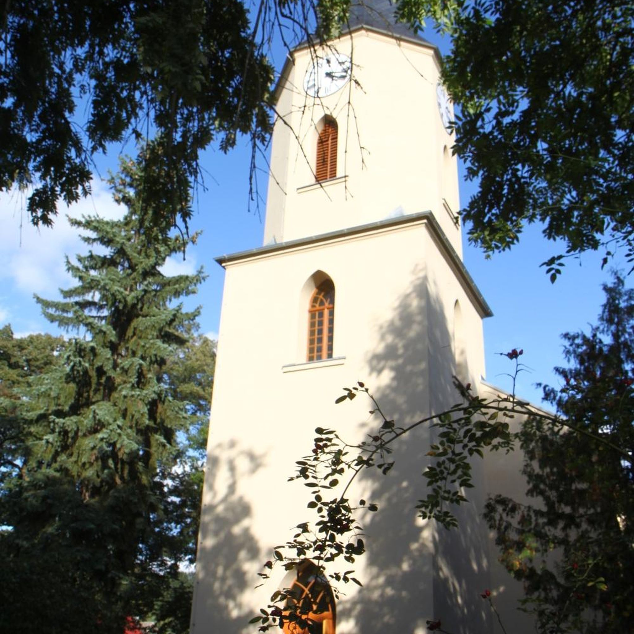

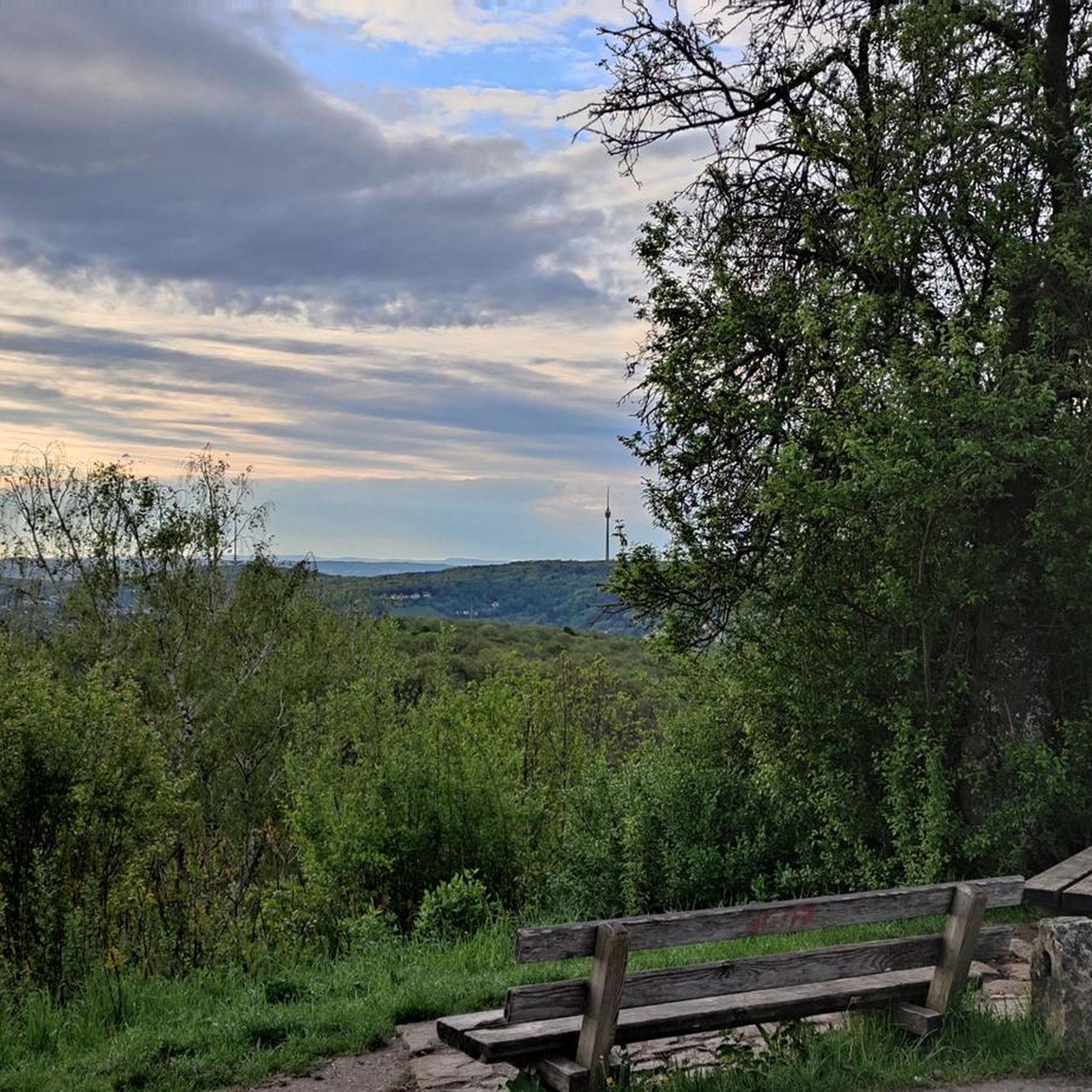
Tips from the Community

Mountsandel Fort is a prehistoric fort dating to the Mesolithic period that was reused in the Irish Middle Ages (10th to 11th centuries). Located in Coleraine, County Derry, the fort consists of a huge grassy mound hollowed out in the middle, overlooking the River Bann. A must-see for lovers of mysterious monuments!
1
0

You can walk along a well defined forest path from the small car park near Coleraine Courthouse and from the Fort, you can see great views of the Salmon Leap (Weir) and Coleraine.
1
0
Frequently Asked Questions
Are there many hiking trails to choose from around South Ballinteer?
Yes, there are over 50 hiking routes to explore in the South Ballinteer area. The trails range from easy forest walks to more challenging mountain ascents, offering plenty of options for all fitness levels.
What do other hikers think of the trails near South Ballinteer?
The trails are highly regarded by the komoot community, with an average rating of 4.7 out of 5 stars. Hikers often praise the stunning views over Dublin City and Bay from the higher elevations, as well as the well-maintained paths through the forests.
Are there any easy, family-friendly walks in the area?
Absolutely. For a gentle walk that's great for all ages, consider the Somerset Forest loop from Coleraine. It's a relatively flat 3.2 km path through pleasant mixed woodland, perfect for a relaxed family outing.
Can I bring my dog on the trails near South Ballinteer?
Many trails in the Dublin Mountains are dog-friendly, but it's important to keep your dog under control, especially near farmland or sensitive wildlife areas. Trails within Coillte-managed forests like Ticknock generally require dogs to be on a lead. Always check local signage for specific rules.
How can I get to the main trailheads using public transport?
To reach Ticknock Forest, you can take Dublin Bus route 44 to Lamb's Cross, which is the closest stop, followed by an uphill walk to the forest entrance. For Marlay Park, several bus routes provide access, including the 16, 14, and 75. Always check the latest bus schedules before you travel.
What are the parking options for hiking in Ticknock Forest?
Ticknock Forest has a main car park which is very popular and can fill up quickly, especially on weekends and sunny days. It's recommended to arrive early to secure a spot. There are no charges for parking.
Are there any circular walks with good views?
The region is excellent for looped walks. The famous Fairy Castle Loop in Ticknock Forest is a prime example, offering panoramic views of Dublin. For a different perspective, the Mountsandel Fort – View of the River Bann loop from Coleraine provides a lovely circular route with scenic river views.
What are some popular places for hiking near South Ballinteer?
Besides the main trails, hikers often explore several other highly-regarded spots.
Tibradden Wood is a local favourite, offering great views and access to the Dublin Mountain Way. Massy's Estate provides beautiful forest walks, though some paths are less signposted. For a rewarding climb, the trail to Three Rock is a must-do for its fabulous summit views.
Is part of the Wicklow Way accessible from near Ballinteer?
Yes, the northern terminus of the Wicklow Way, a long-distance trail, is located in Marlay Park, right on the doorstep of South Ballinteer. From here, you can start the full trail or hike the first section towards the Dublin Mountains.
Are there any pubs or cafes for a break after a hike?
After exploring Ticknock or Three Rock, many hikers head back towards the surrounding villages like Sandyford or Stepaside. You'll find a good selection of traditional pubs and cafes there to relax and refuel.
What is the terrain like on the trails?
You can expect a mix of terrain. Many routes start on well-maintained forest roads and gravel paths within Ticknock Forest. As you ascend towards peaks like Two Rock and Three Rock, the paths can become more rugged, with open mountain terrain and some rocky sections.
Most popular attractions around South Ballinteer

Get inspired with the komoot mobile app


Explore more
Browse the best Hikes in other regions.
