The best mountain hikes around Bad Endorf
4.8
(44)
531
hikers
6
hikes
Mountaineering routes around Bad Endorf are situated in the foothills of the Bavarian Alps, characterized by rolling hills, forested slopes, and access to higher summits. The region features a mix of open meadows, dense woodlands, and rocky outcrops, offering varied terrain for ascents. Views often extend towards prominent peaks and the nearby Lake Chiemsee.
Best mountaineering routes around Bad Endorf
- The most popular mountaineering route is Taubenstein Summit Cross – Frasdorfer Hut loop from Frasdorf, a 7.6 miles (12.2…
Last updated: July 4, 2026
4.7
(28)
263
hikers
12.2km
04:26
670m
670m
Moderate mountaineering route. Good fitness required. Mostly accessible paths. Sure-footedness required.
4.8
(6)
109
hikers
20.3km
07:14
980m
980m
Hard mountaineering route. Very good fitness required. Mostly accessible paths. Sure-footedness required.

Sign up for free
5.0
(5)
68
hikers
20.1km
07:31
1,060m
1,060m
Hard mountaineering route. Very good fitness required. Sure-footedness, sturdy shoes and alpine experience required.
5.0
(2)
62
hikers
8.83km
02:46
320m
320m
Moderate mountaineering route. Good fitness required. Mostly accessible paths. Sure-footedness required.
5.0
(1)
8
hikers
11.4km
03:51
430m
430m
Moderate mountaineering route. Good fitness required. Mostly accessible paths. Sure-footedness required.
Our route recommendations are based on thousands of hikes, rides, and runs completed by other people on komoot.
Start today with a free account
Your next adventure awaits.
Login or Signup
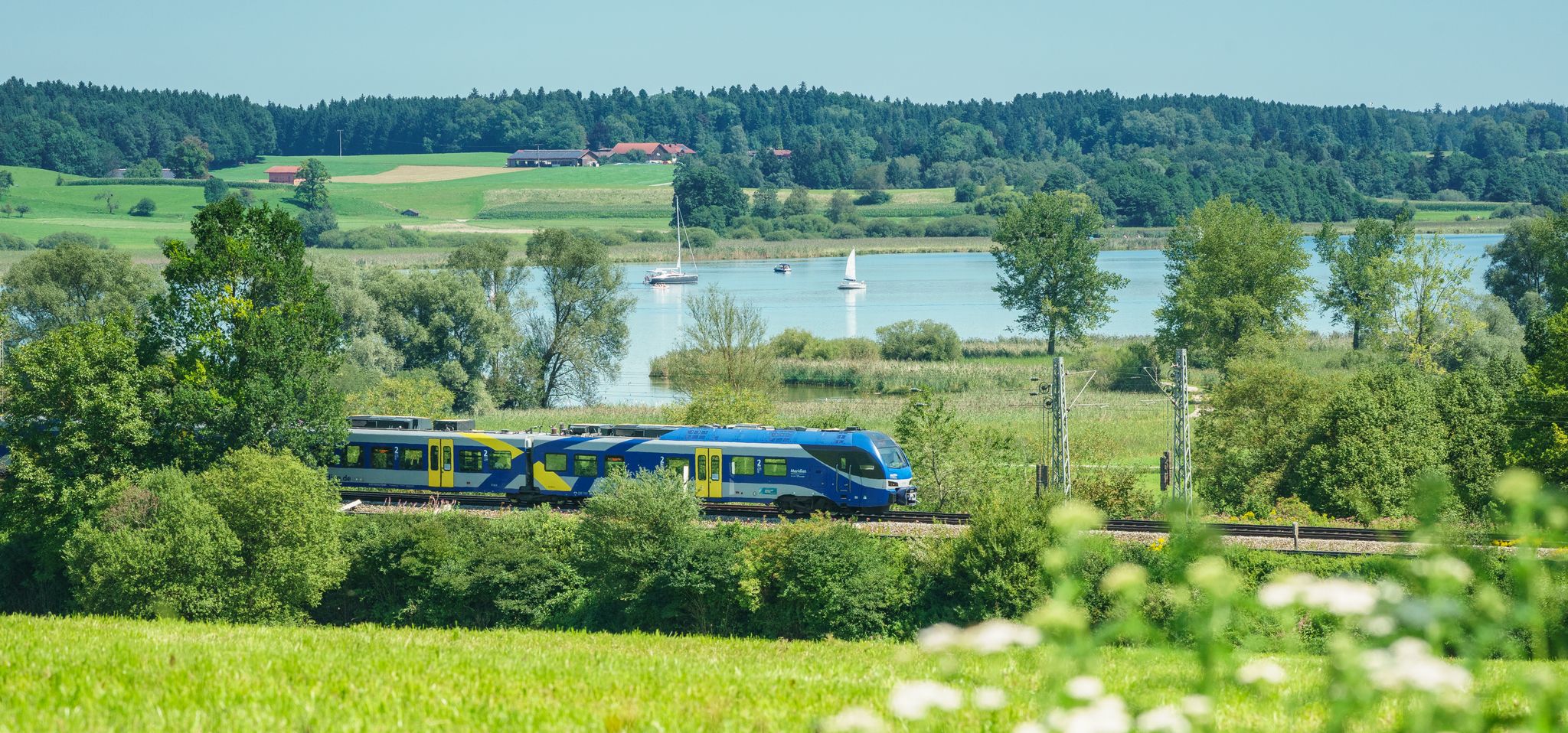
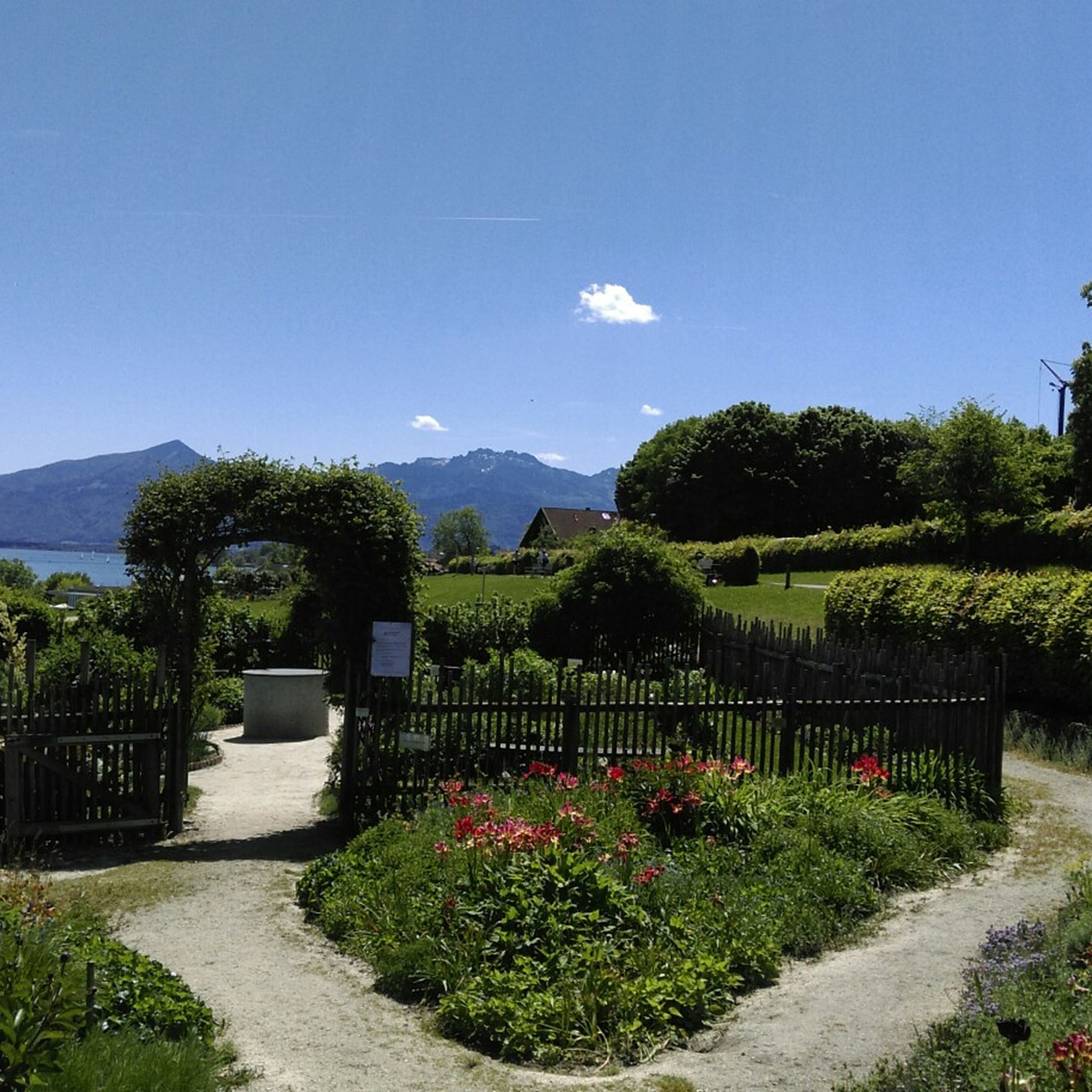
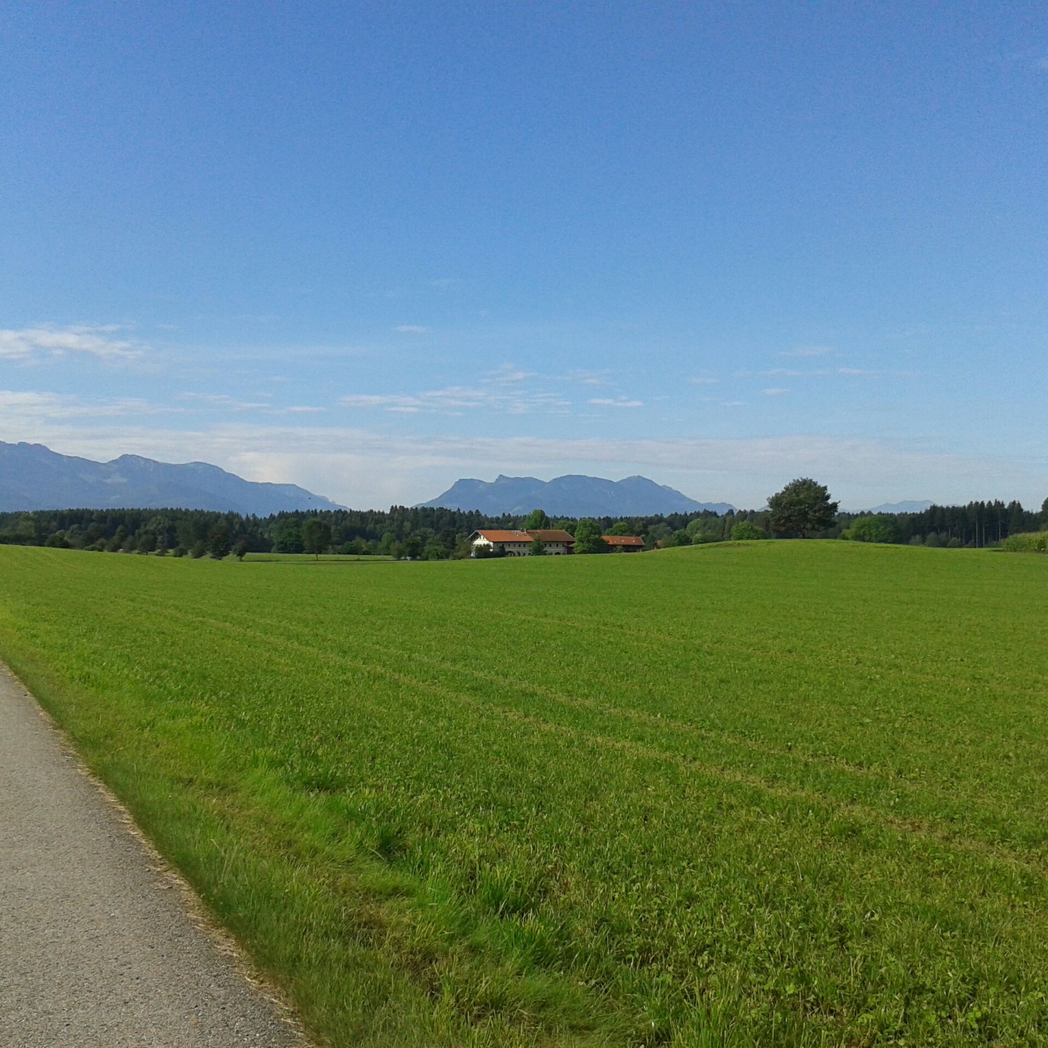
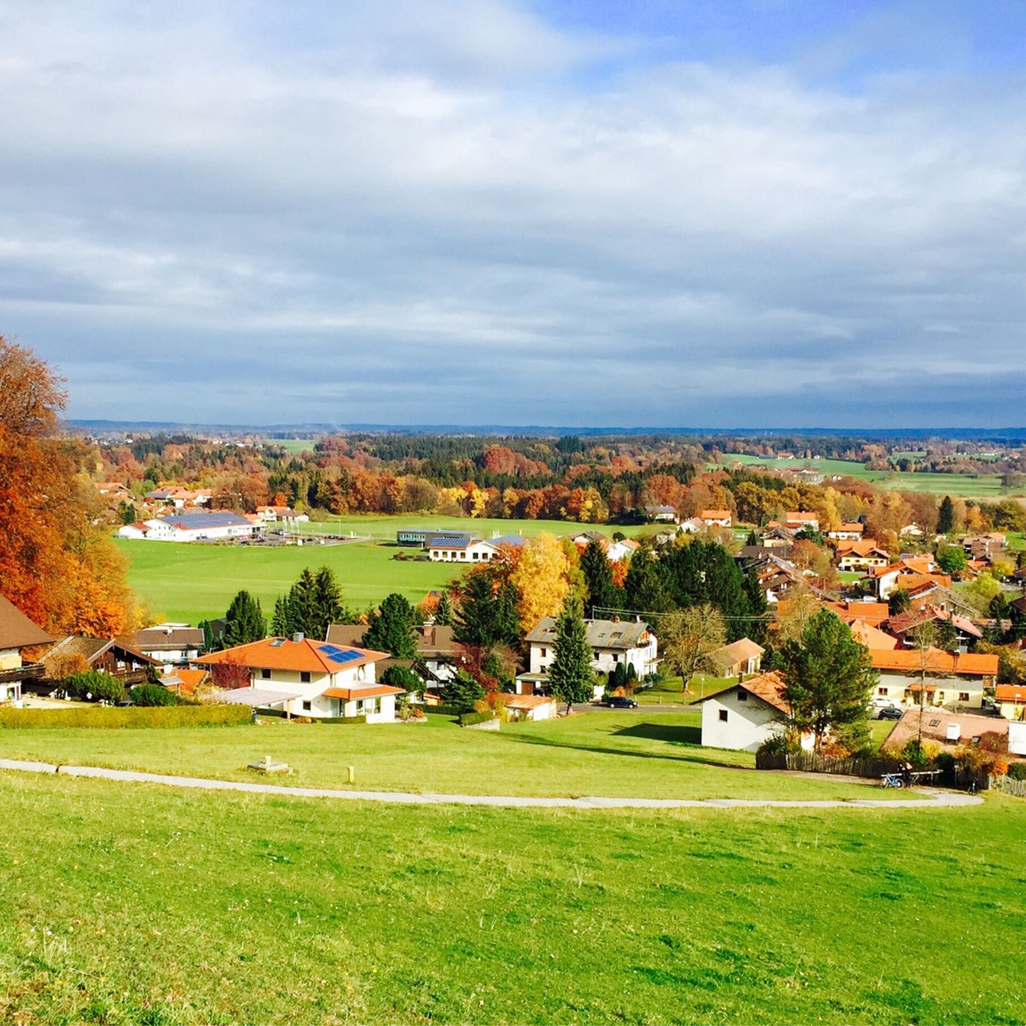
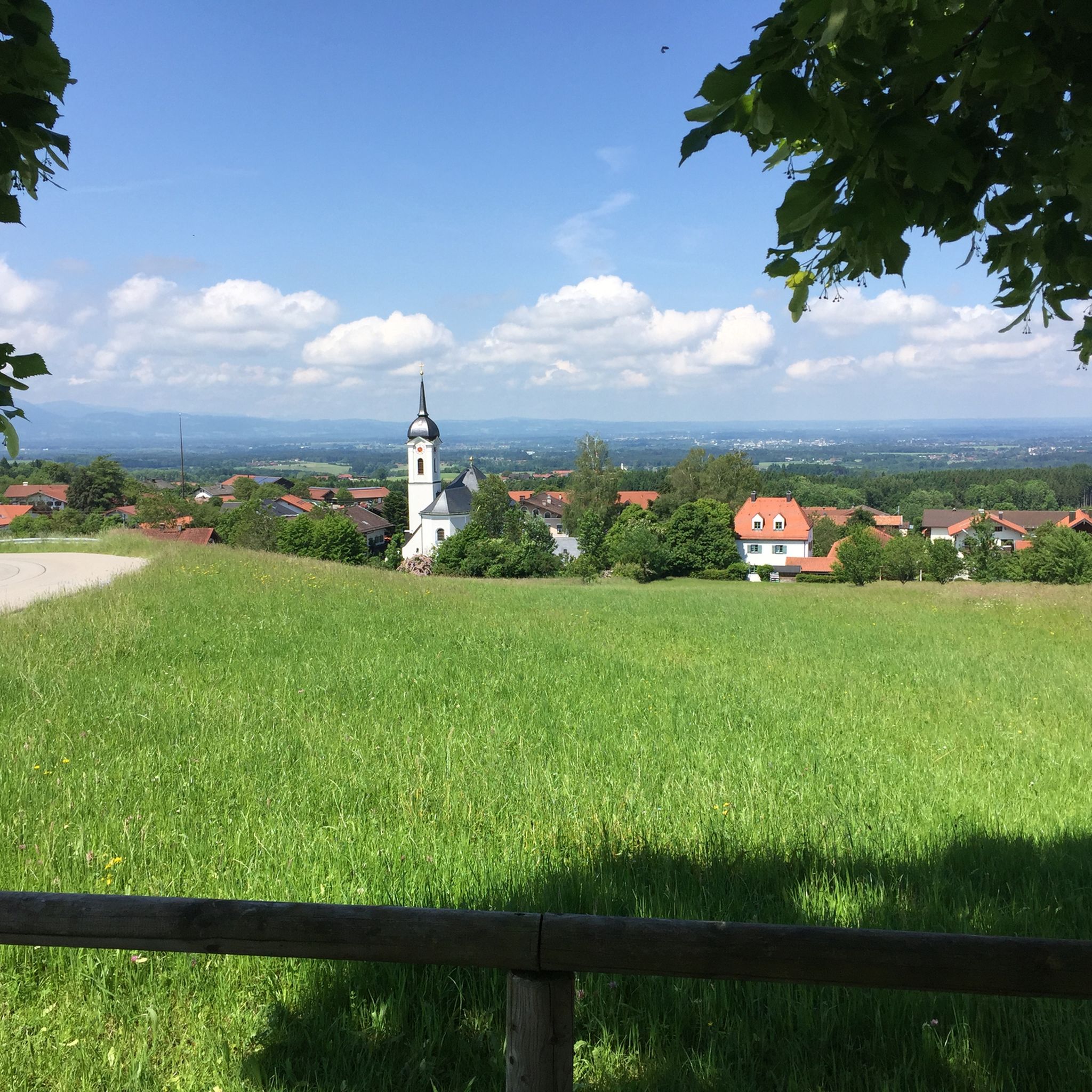
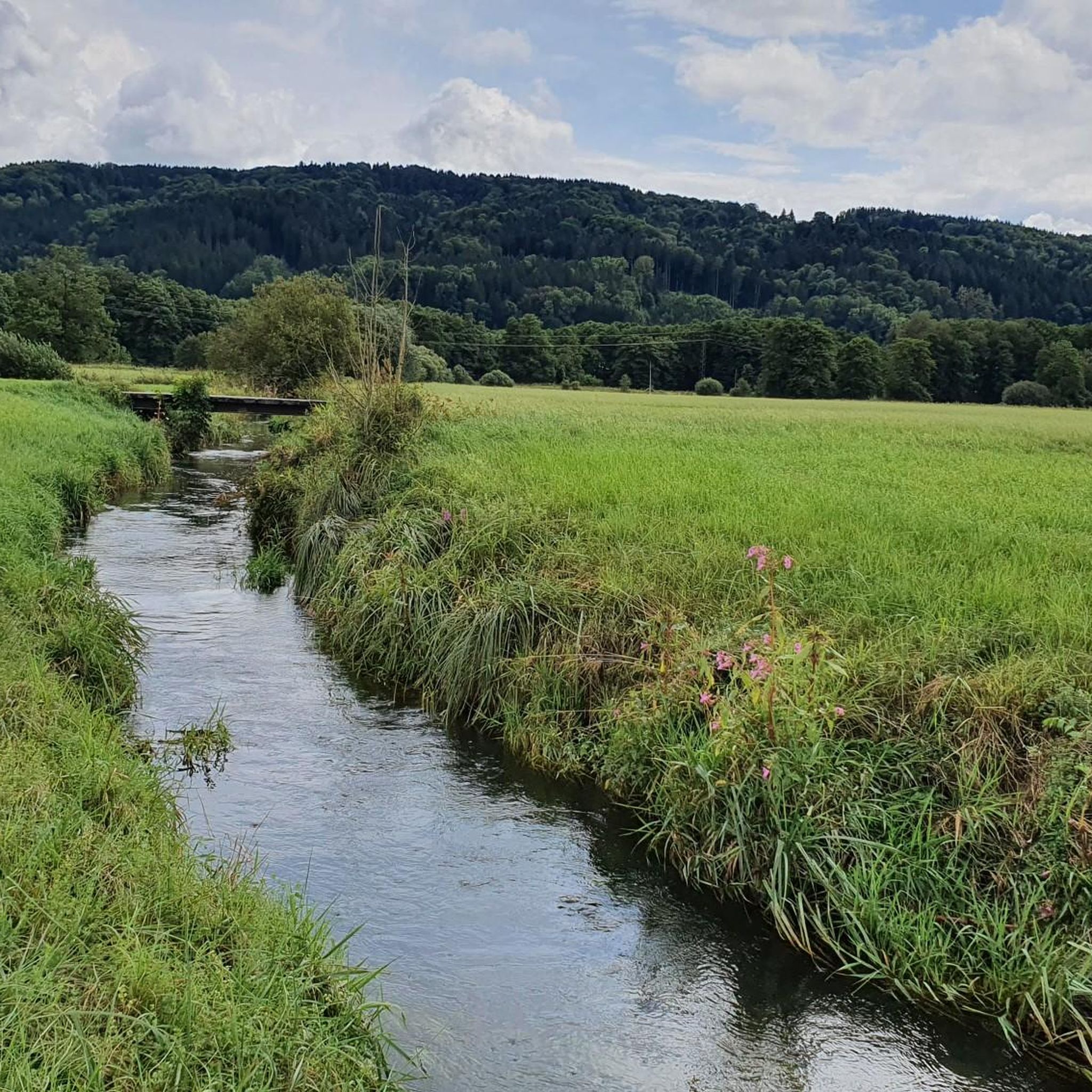
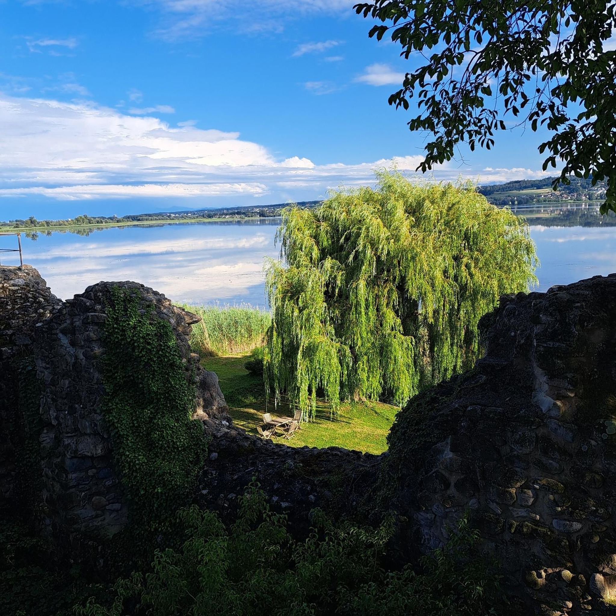
Other adventures around Bad Endorf

Tips from the Community

Beautiful trail through the forest. Better to ride downhill (so from the Kräuterwiese towards Winterstubn). Downhill is quite steep at the end.
0
0

A beautiful view of the Chiemsee.
0
0

Beautiful little plain with two huts. The peaks can be seen in the background.
0
0

From the Kampenwand you have a fantastic view of Lake Chiemsee!
0
0

We didn't stop in, don't like to reserve a table on a tour, usually need a refreshment before 12 o'clock and the final straw today was the fact that the playground is gone. Who saw the crime scene on August 18th, or the 15 minutes of "disturbing children" before that... In my opinion, not a good concept here - I'll take my snack with me and go somewhere else with my 5 grandchildren. What a pity!!
3
0

Steep path through the botany. The path is difficult to see. Not recommended depending on your experience. It is best to look at the gradient when planning your route and follow the satnav. Depending on the time of year, everything here can be overgrown.
0
0
Great climb, but be careful. This is absolutely alpine terrain! Sneakers should be taboo here! Unfortunately, they still see you too often. We always take a helmet with us here.
1
0
Frequently Asked Questions
How many mountaineering routes are available around Bad Endorf?
There are over 6 mountaineering routes documented on komoot for the Bad Endorf area, offering a variety of experiences from moderate to difficult ascents.
Are there any easy mountaineering routes for beginners near Bad Endorf?
Yes, while many routes are moderate or difficult, there is at least one easy mountaineering route available. These typically feature gentler ascents through forested slopes and open meadows, providing a good introduction to the region's terrain.
What are some challenging mountaineering trails near Bad Endorf?
For experienced mountaineers seeking a challenge, the region offers several difficult routes. One notable option is the Hochries summit – Frasdorfer Hut loop from Frasdorf, which covers 12.6 miles (20.3 km) with significant elevation gain and extensive views. Another demanding trail is the Kampenwand East Summit – View of Lake Chiemsee loop from Bernau am Chiemsee, known for its alpine pastures and rocky sections.
Can I find circular mountaineering routes in the Bad Endorf area?
Yes, many of the mountaineering routes around Bad Endorf are designed as circular loops, allowing you to start and end at the same point. Examples include the popular Taubenstein Summit Cross – Frasdorfer Hut loop from Frasdorf and the Frasdorfer Hut – Hofalm loop from Frasdorf.
What is the typical length and duration of mountaineering routes here?
Mountaineering routes in the Bad Endorf region vary in length and duration. You can expect trails ranging from approximately 5 miles (8 km) to over 12 miles (20 km). Durations typically range from 3 to 8 hours, depending on the route's difficulty and your pace. For instance, the Hofalm – Hofalm (Aschau im Chiemgau) loop from Frasdorf is about 6.5 miles (10.4 km) and takes around 3 hours 24 minutes.
What kind of views can I expect on mountaineering routes around Bad Endorf?
The routes often provide panoramic views of Lake Chiemsee and the surrounding Bavarian Alps. You'll frequently encounter vistas extending over rolling hills, dense woodlands, and towards prominent peaks, especially from higher elevations like the Hochries summit or Kampenwand East Summit.
Are there any interesting natural landmarks or attractions along these routes?
Yes, the region is rich in natural beauty. While mountaineering, you might encounter highlights such as the View of Fraueninsel on Lake Chiemsee, or the serene Langbürgner See. The routes often traverse areas with diverse landscapes, including forested sections and open alpine pastures.
What do other mountaineers enjoy the most about mountaineering in Bad Endorf?
The area is highly rated by the komoot community, with an average score of 4.8 stars from over 40 reviews. Reviewers often praise the varied terrain, the stunning panoramic views of Lake Chiemsee and the Alps, and the well-maintained trails that lead through both dense woodlands and open alpine pastures.
Is parking available at the trailheads for mountaineering routes near Bad Endorf?
Yes, for many popular mountaineering routes in the Bad Endorf area, you will find designated parking facilities near the trailheads. It's always advisable to check specific route details on komoot for information on parking availability and any potential fees before you set out.
Are there opportunities for wildlife spotting while mountaineering in Bad Endorf?
The diverse landscapes of the Bad Endorf region, with its woodlands, meadows, and alpine areas, offer good opportunities for wildlife observation. Keep an eye out for local bird species, deer, and other forest inhabitants, especially during quieter times of the day.
What is the best time of year for mountaineering around Bad Endorf?
The late spring, summer, and early autumn months (May to October) generally offer the best conditions for mountaineering around Bad Endorf. During this period, trails are typically clear of snow, and the weather is more stable, providing pleasant temperatures and clear views. Always check local weather forecasts before your tour.
Most popular routes around Bad Endorf
Most popular attractions around Bad Endorf

Get inspired with the komoot mobile app


Explore more
Browse the best Mountain Hikes & Routes in other regions.
