The best running trails around Ringrash Beg
3.8
(12)
759
runners
54
runs
Jogging routes around Ringrash Beg provide access to varied terrain, largely defined by its location near the Causeway Coast and Glens. The area features scenic coastal paths, sandy beaches, and river valleys, offering a mix of flat stretches and gentle inclines. Runners can explore routes that incorporate natural features like the River Bann and forested areas, alongside historical sites.
Best jogging routes around Ringrash Beg
- The most popular jogging route is View of the River Bann – Mountsandel Fort loop…
Last updated: June 25, 2026
25
runners
4.00km
00:29
30m
30m
Easy run. Great for any fitness level. Mostly paved surfaces. Suitable for all skill levels.
3.0
(3)
11
runners
6.85km
00:43
50m
50m
Moderate run. Good fitness required. Mostly paved surfaces. Suitable for all skill levels.

Sign up for free
8
runners
7.70km
00:50
70m
70m
Moderate run. Good fitness required. Mostly paved surfaces. Suitable for all skill levels.
6
runners
9.42km
01:01
100m
100m
Moderate run. Good fitness required. Mostly paved surfaces. Suitable for all skill levels.
12
runners
17.1km
01:47
120m
120m
Hard run. Very good fitness required. Mostly paved surfaces. Suitable for all skill levels.
Get access to more routes and recommendations from other explorers.
Sign up for free
Already have an account?
Our route recommendations are based on thousands of hikes, rides, and runs completed by other people on komoot.
Start today with a free account
Your next adventure awaits.
Login or Signup
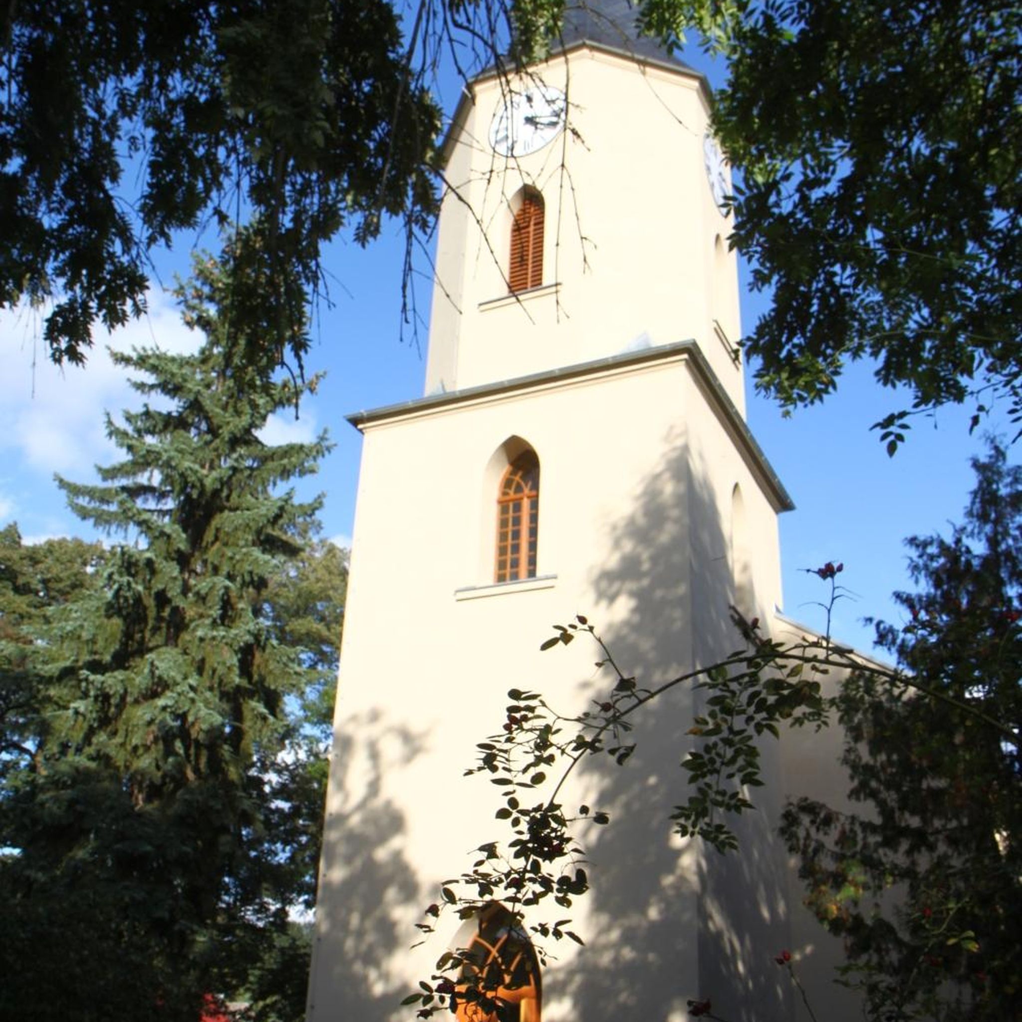
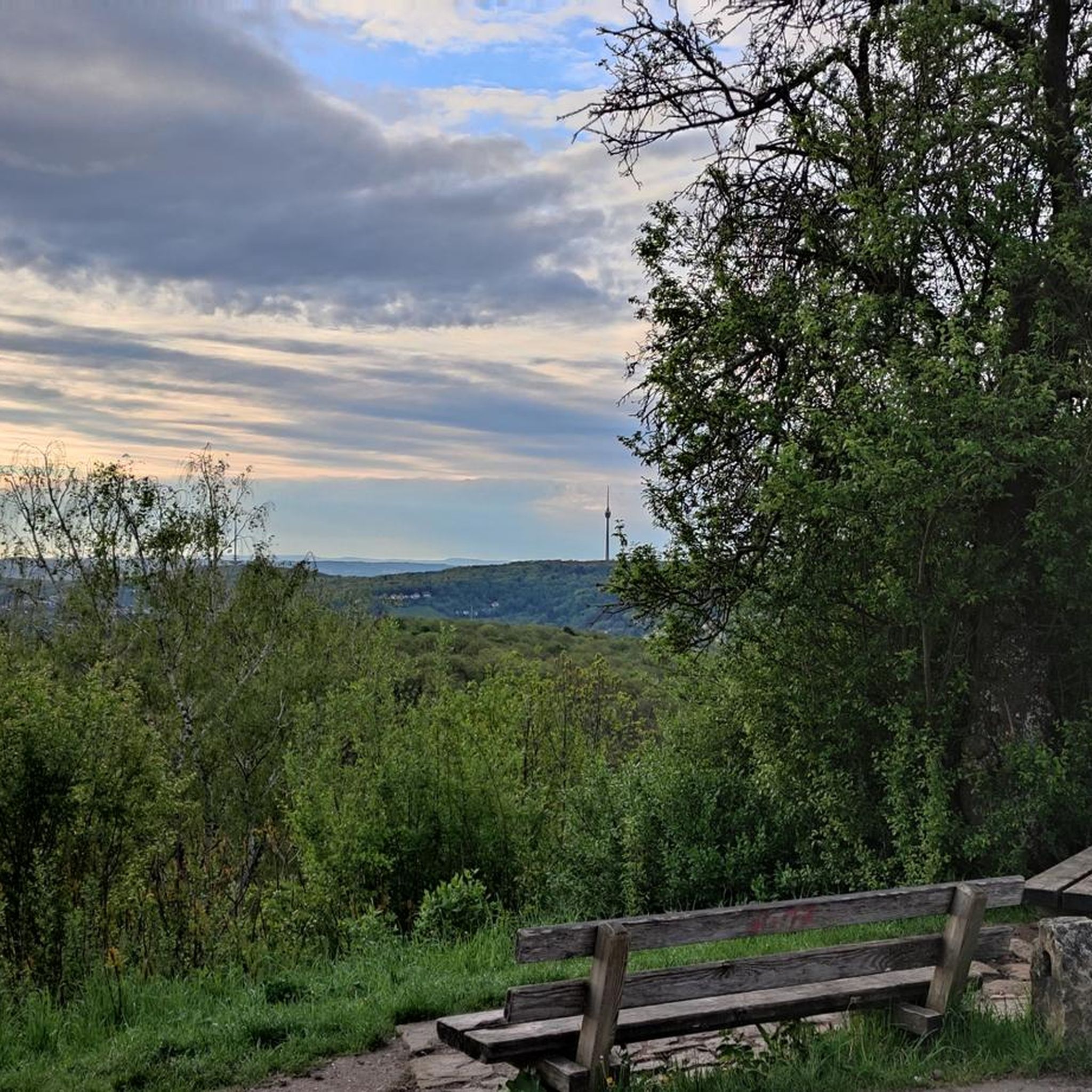

Tips from the Community

Portstewart Strand is a sweeping two-mile beach at the edge of town and forms a fitting finale (or start!) to the Causeway Coast Way. The viewpoint is from St. Patrick’s Well, a small spring long associated with local tradition.
1
0


Once a grand, Italian-inspired home, Downhill House was devastated by fire in May 1851 and almost completely burned down.
0
0
It was a library, a retreat, a memorial to a somewhat scandalous love story and now it is one of the most popular and photographed buildings in Ireland.
0
0
Mountsandel Fort is a prehistoric fort dating to the Mesolithic period that was reused in the Irish Middle Ages (10th to 11th centuries). Located in Coleraine, County Derry, the fort consists of a huge grassy mound hollowed out in the middle, overlooking the River Bann. A must-see for lovers of mysterious monuments!
1
0

In a very nice little square, with benches and many shops in the pedestrian area.
1
0


The house you see was built in the 18th century A tremendous fire destroyed the house in 1851, and the library, along with numerous important sculptures and paintings, was lost. The house remained in the Bishop's family until 1948.
0
0
Frequently Asked Questions
How many running routes are available around Ringrash Beg?
There are over 50 dedicated running routes around Ringrash Beg, offering a wide variety of options for different preferences and fitness levels. These routes are highly rated by the komoot community, with an average score of 3.75 stars from over 10 reviews.
What types of terrain can I expect on the jogging trails near Ringrash Beg?
The terrain around Ringrash Beg is diverse, largely influenced by its proximity to the Causeway Coast and Glens. You can expect scenic coastal paths, sandy beaches like East Strand and Castlerock, river valleys along the River Bann, and forested areas such as Somerset Forest. This mix provides both flat stretches and gentle inclines, often incorporating historical sites.
Are there any easy running routes suitable for beginners in the Ringrash Beg area?
Yes, the region offers several easy running routes perfect for beginners. For example, the View of the River Bann – Mountsandel Fort loop from Coleraine is an easy 2.5-mile (4.0 km) trail that takes about 29 minutes to complete, offering pleasant river views and a glimpse of the historical fort.
Can I find circular jogging routes around Ringrash Beg?
Many of the running routes in the Ringrash Beg area are designed as loops, providing convenient circular options. For instance, the Somerset Forest loop from Coleraine is a moderate 4.3-mile (6.9 km) path that takes you through tranquil woodlands and returns to your starting point.
Are there any running routes that pass by historical landmarks or points of interest?
Absolutely. The area is rich in history and natural beauty. You can find routes that lead past stunning sites like Mussenden Temple and the Downhill House Ruins. The Mussenden Temple – Downhill House Ruins loop from Articlave is a prime example, offering coastal views alongside these dramatic historical structures.
What are the best times of year to go jogging in Ringrash Beg?
The area around Ringrash Beg is enjoyable for jogging throughout much of the year. Spring and autumn offer pleasant temperatures and beautiful scenery, with fewer crowds. Summer is ideal for coastal runs, though beaches can be busier. Winter jogging is also possible, especially on well-maintained paths, but be prepared for cooler, potentially wetter conditions.
Are there any dog-friendly running trails near Ringrash Beg?
Many of the outdoor trails in the Ringrash Beg region are dog-friendly, allowing you to enjoy a run with your canine companion. It's always recommended to keep dogs on a leash, especially in nature reserves or areas with livestock, and to check local signage for any specific restrictions.
Are there any family-friendly jogging routes in the area?
Yes, there are several routes suitable for families looking for an enjoyable run or walk. Easy, relatively flat paths along the River Bann or through local forests are great options. The View of the River Bann – Mountsandel Fort loop from Coleraine is an easy route that families can enjoy together.
Where can I find parking for the running trails around Ringrash Beg?
Parking facilities are generally available near popular trailheads and attractions in the Ringrash Beg area. For coastal runs, you'll often find parking near beaches like Castlerock Beach. For routes starting in towns like Coleraine or Articlave, public car parks are usually accessible. Always check specific route details for recommended parking spots.
Are there any longer, more challenging running routes for experienced runners?
For experienced runners seeking a challenge, the Ringrash Beg area offers longer and more demanding routes. The Lost & Found Café loop from Coleraine is a difficult 11.9-mile (19.2 km) route with significant elevation gain, providing a substantial workout and scenic views.
What kind of views can I expect on the running routes?
The running routes around Ringrash Beg offer a variety of stunning views. You can expect dramatic coastal vistas, expansive sandy beaches, tranquil river scenes along the River Bann, and lush forest landscapes. Many routes also provide panoramic views from cliff-top locations, incorporating historical landmarks like Mussenden Temple into the scenery.
Most popular routes around Ringrash Beg
Most popular attractions around Ringrash Beg

Get inspired with the komoot mobile app


Explore more
Browse the best Running Trails & Routes in other regions.
