The best running trails around Ingenried
4.5
(389)
5,213
runners
360
runs
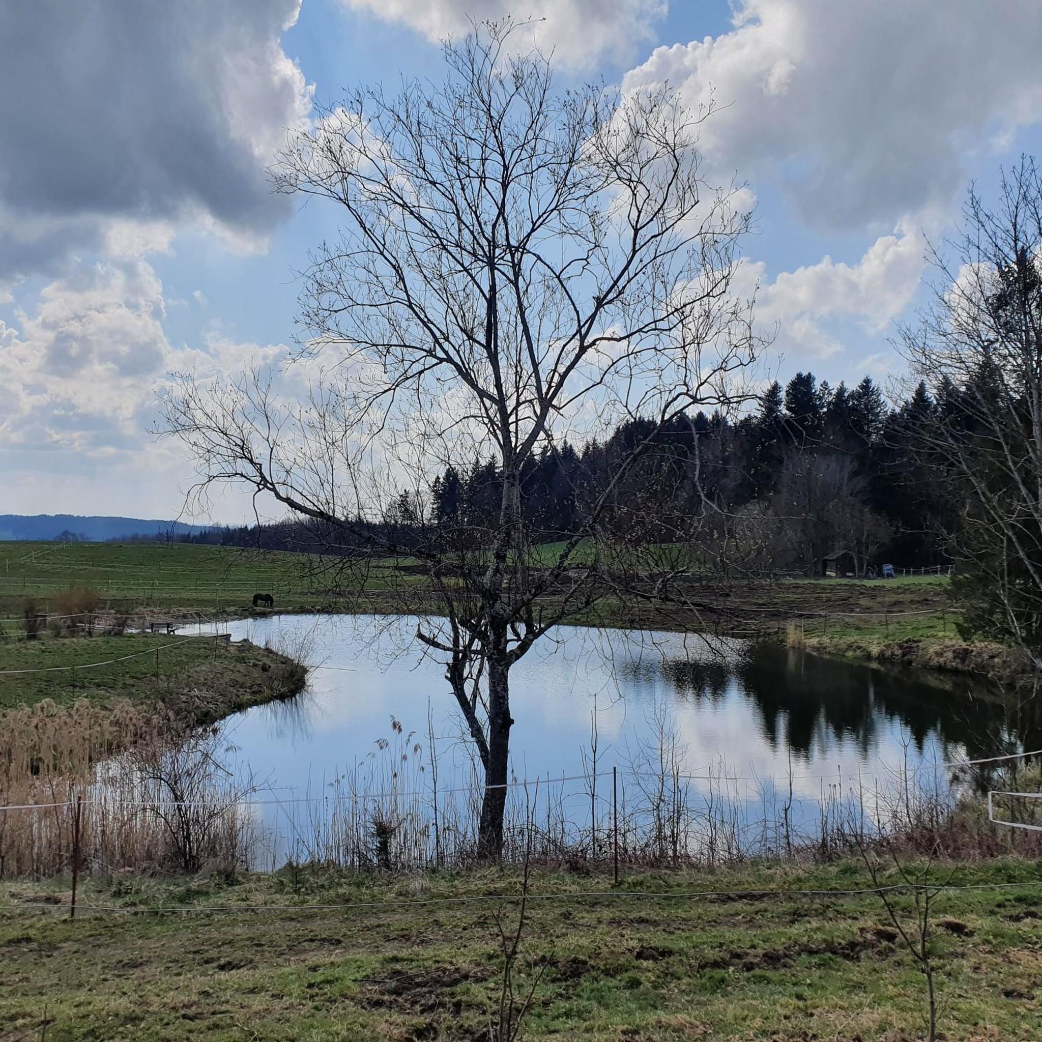
Jogging around Ingenried offers a diverse landscape characterized by rolling hills, green forests, and the picturesque pre-Alpine region. The area provides numerous opportunities for runners to enjoy scenic routes with impressive views, often including distant Alpine panoramas from elevated points. Many paths are well-maintained, with some featuring smooth, paved surfaces suitable for various outdoor activities. This terrain makes Ingenried an ideal location for exploring natural beauty on foot.
Best jogging routes around Ingenried
- The most popular jogging route is Buchhaltezelle…
Last updated: September 30, 2026
5.0
(1)
27
runners
6.96km
00:49
20m
20m
Moderate run. Good fitness required. Mostly paved surfaces. Suitable for all skill levels.
11
runners
6.41km
00:40
50m
50m
Moderate run. Good fitness required. Mostly paved surfaces. Suitable for all skill levels.

11
runners
5.47km
00:35
40m
40m
Moderate run. Good fitness required. Mostly paved surfaces. Suitable for all skill levels.
4.5
(2)
8
runners
6.56km
00:42
70m
70m
Moderate run. Good fitness required. Mostly paved surfaces. Suitable for all skill levels.
11
runners
3.84km
00:27
20m
20m
Easy run. Great for any fitness level. Mostly paved surfaces. Suitable for all skill levels.
Get access to more routes and recommendations from other explorers.
Already have an account?
Our route recommendations are based on thousands of hikes, rides, and runs completed by other people on komoot.
Start today with a free account
Your next adventure awaits.
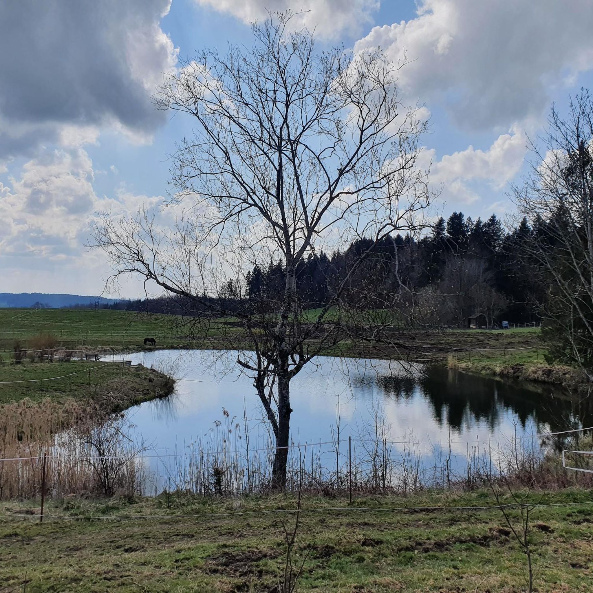
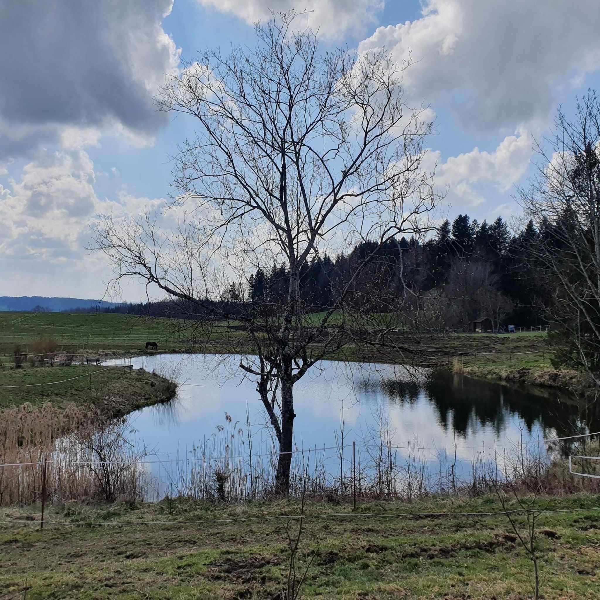
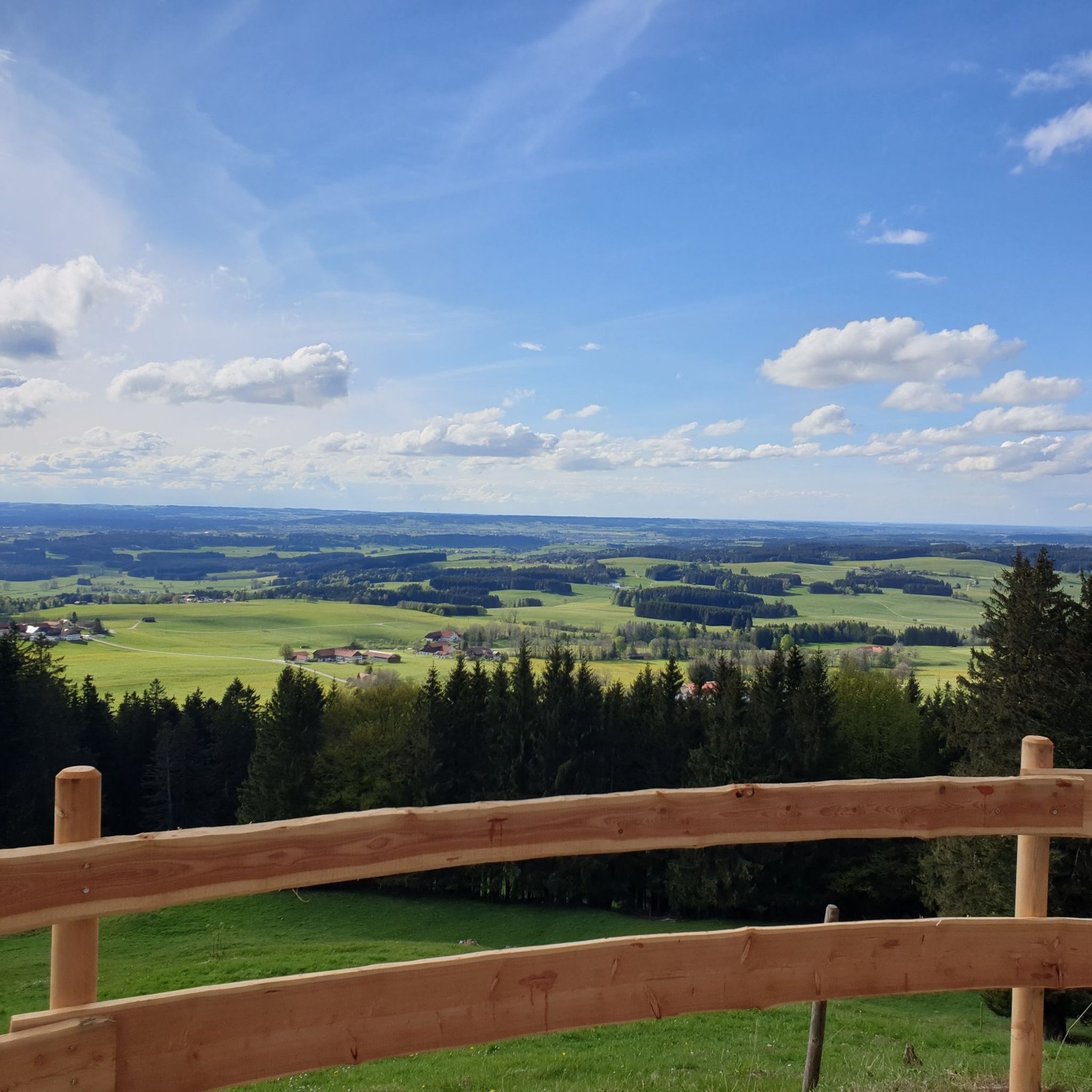
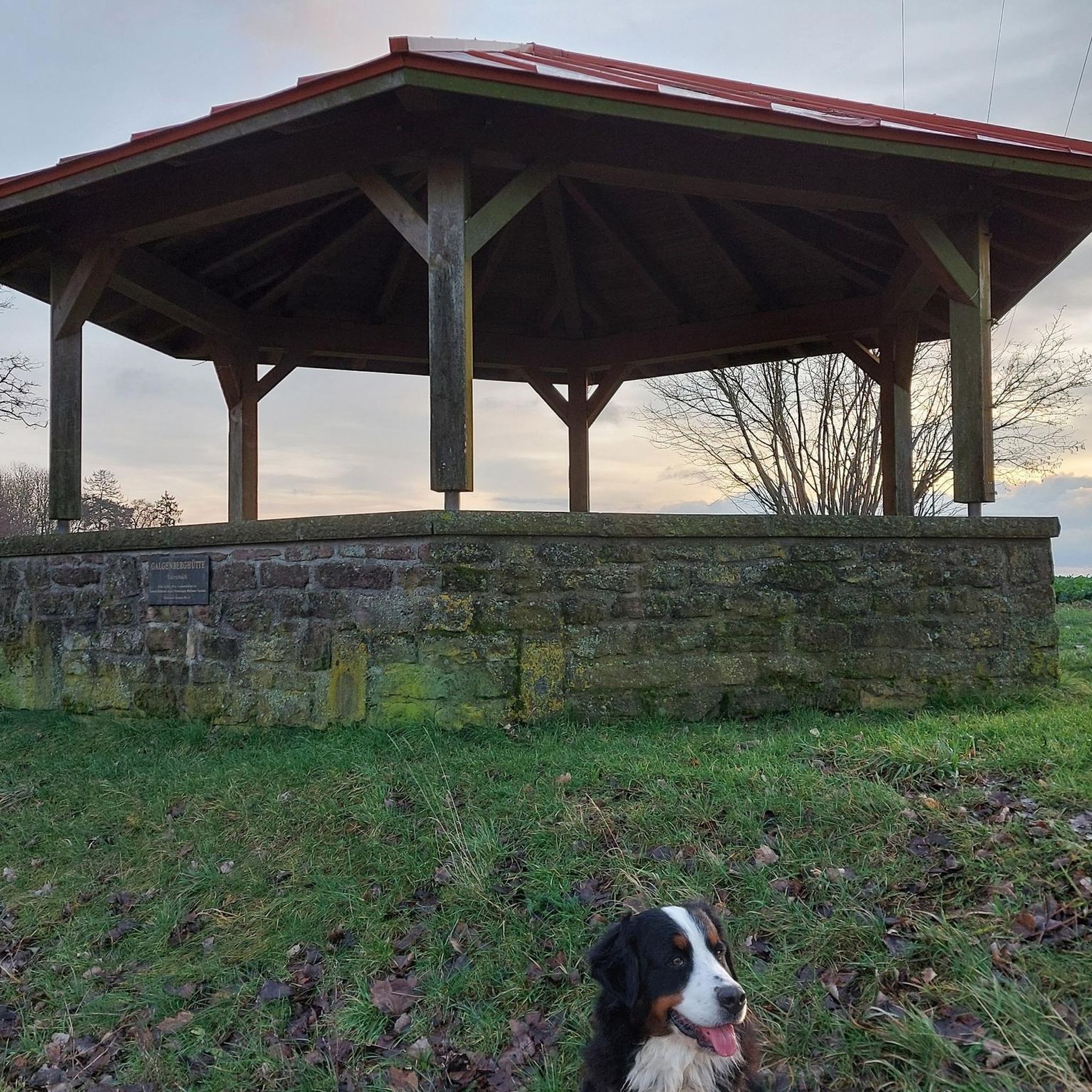
Tips from the Community


A small stop at the bus house to immerse yourself in the legendary world of the Ostallgäu, while children can search for the "mouse in the house".
1
0

Nice section along the Via Claudia
1
0
Frequently Asked Questions
How many running routes are available in Ingenried?
Ingenried offers a wide selection of over 300 running routes. These paths cater to various preferences, ranging from easy loops to more challenging trails through the diverse pre-Alpine landscape.
Are there easy running paths suitable for beginners or families?
Yes, Ingenried has plenty of options for those seeking an easier run. There are 48 easy routes available, perfect for beginners or a relaxed family outing. An excellent choice is the Running loop from Schwabbruck, which is an easy 2.4-mile (3.9 km) path known for its smooth surface.
What kind of terrain can I expect on the jogging trails around Ingenried?
The jogging trails around Ingenried feature a diverse pre-Alpine landscape with rolling hills, green forests, and open fields. Many paths offer impressive views, often including distant Alpine panoramas from elevated points. Some routes, like the Mooshofweg, are continuously asphalted, providing a smooth surface, while others traverse varied natural terrain.
Are there any circular running routes in Ingenried?
Absolutely! Many of Ingenried's running routes are circular, allowing you to start and finish in the same location. The Running loop from Burggen is a great example, offering a moderate 3.9-mile (6.2 km) circular path through the scenic surroundings.
Can I bring my dog on the running trails in Ingenried?
Many of the natural paths and forest trails around Ingenried are suitable for running with dogs. It's always a good idea to keep your dog on a leash, especially in areas with wildlife or near agricultural land, and to be mindful of local regulations.
Are there any scenic viewpoints along the running routes?
Yes, the pre-Alpine landscape around Ingenried is known for its magnificent views. From elevated points, you can often enjoy breathtaking Alpine panoramas. The Auerberg, for instance, offers a grand viewpoint with a church and observation deck, providing a stunning backdrop for your run or a rewarding stop. The Geißtalweg also offers magnificent Alpine panoramas on clear days.
What do other runners enjoy most about jogging in Ingenried?
The komoot community highly rates the running experience in Ingenried, with an average score of 4.5 stars from over 300 reviews. Runners frequently praise the diverse landscape, the impressive Alpine views, and the well-maintained paths that offer options for all ability levels. The variety of routes, from easy loops to more challenging trails, is also a common highlight.
Are there any longer running routes for experienced runners?
For more experienced runners looking for a longer challenge, Ingenried offers several routes. The Geisenberg loop from Bidingen is a moderate 6.2-mile (10.0 km) trail with varied terrain and some elevation changes, typically completed in just over an hour.
What interesting landmarks or attractions can I see near the running paths?
While running, you might encounter various points of interest. The region is home to several historical sites, such as the Marktoberdorf Castle or the Pilgrimage Church of St. Ottilia. For panoramic views, consider the Schlossberg Cross and Viewpoint in Schongau. The nearby Lechsee also offers beautiful views of the Alpine panorama.
Are there any running routes that are particularly good for winter conditions?
During winter, many of the well-maintained and paved routes, such as sections of the Mooshofweg, can be suitable for running, especially after light snowfall or when cleared. Forest paths might be more challenging due to snow or ice. Always check local conditions and wear appropriate gear for winter running.
Are there any running routes that pass by water features?
While specific routes directly alongside major rivers or waterfalls might be less common, the nearby Lechsee (Lech Lake) is a wonderful destination that provides fantastic views of the Alpine panorama and offers routes that can be explored on foot. Some paths may also follow smaller streams or pass by ponds within the forested areas.
Most popular attractions around Ingenried

Get inspired with the komoot mobile app


Explore more
Browse the best Running Trails & Routes in other regions.
