The best running trails around Peißenberg
4.5
(110)
1,028
runners
79
runs
Jogging around Peißenberg offers a variety of running experiences, from riverside paths to trails with significant elevation gain. The region is characterized by the Ammer river floodplains, providing flatter routes, and the prominent Hohenpeißenberg hill, which offers challenging climbs and expansive views. Runners can explore a landscape that blends open fields with forested sections, catering to different preferences for terrain and intensity.
Best jogging routes around Peißenberg
- The most popular jogging route is Ammer Floodplains – Confluence of the Ammer…
Last updated: June 27, 2026
4.8
(4)
55
runners
Moderate run. Good fitness required. Mostly paved surfaces. Suitable for all skill levels.
4.0
(2)
53
runners
10.3km
01:21
390m
390m
Hard run. Very good fitness required. Sure-footedness, sturdy shoes and alpine experience required.

Sign up for free
5.0
(11)
43
runners
9.30km
00:58
50m
50m
Moderate run. Good fitness required. Mostly paved surfaces. Suitable for all skill levels.
4.0
(2)
38
runners
15.6km
02:17
710m
710m
Hard run. Very good fitness required. Sure-footedness, sturdy shoes and alpine experience required.
5.0
(1)
48
runners
Moderate run. Good fitness required. Mostly paved surfaces. Suitable for all skill levels.
Get access to more routes and recommendations from other explorers.
Sign up for free
Already have an account?
Our route recommendations are based on thousands of hikes, rides, and runs completed by other people on komoot.
Start today with a free account
Your next adventure awaits.
Login or Signup
Popular around Peißenberg
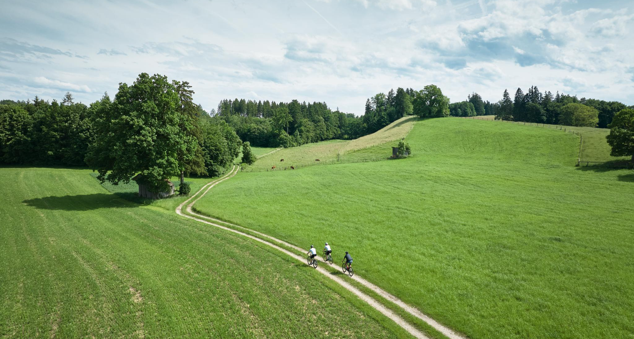
Nature and pure gravel – gravel biking in Pfaffenwinkel
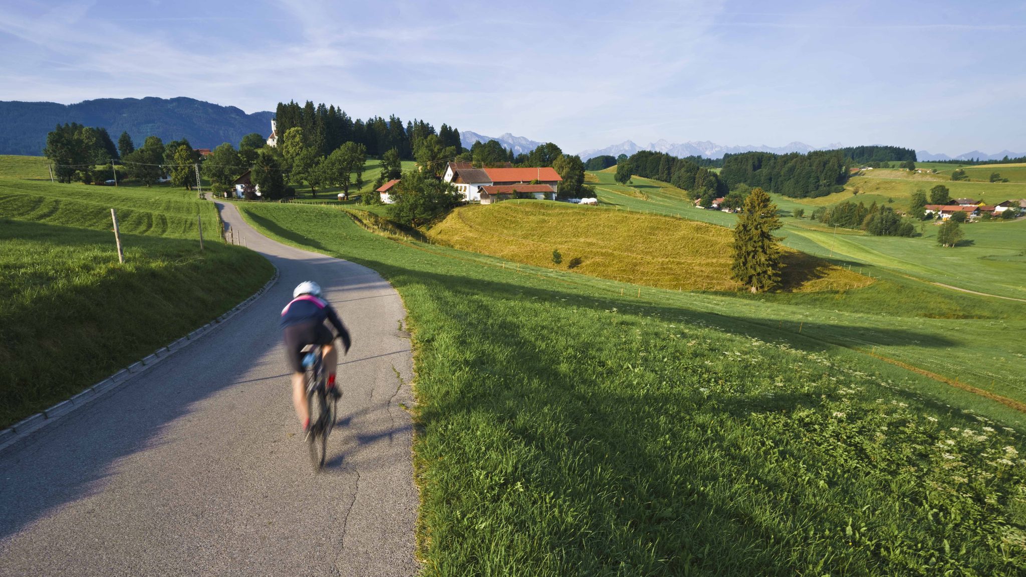
Travel to Upper Bavaria - with TOUR in Pfaffenwinkel
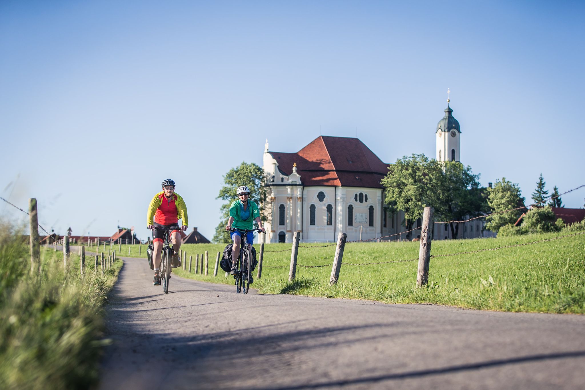
Radpilgern durch den Pfaffenwinkel
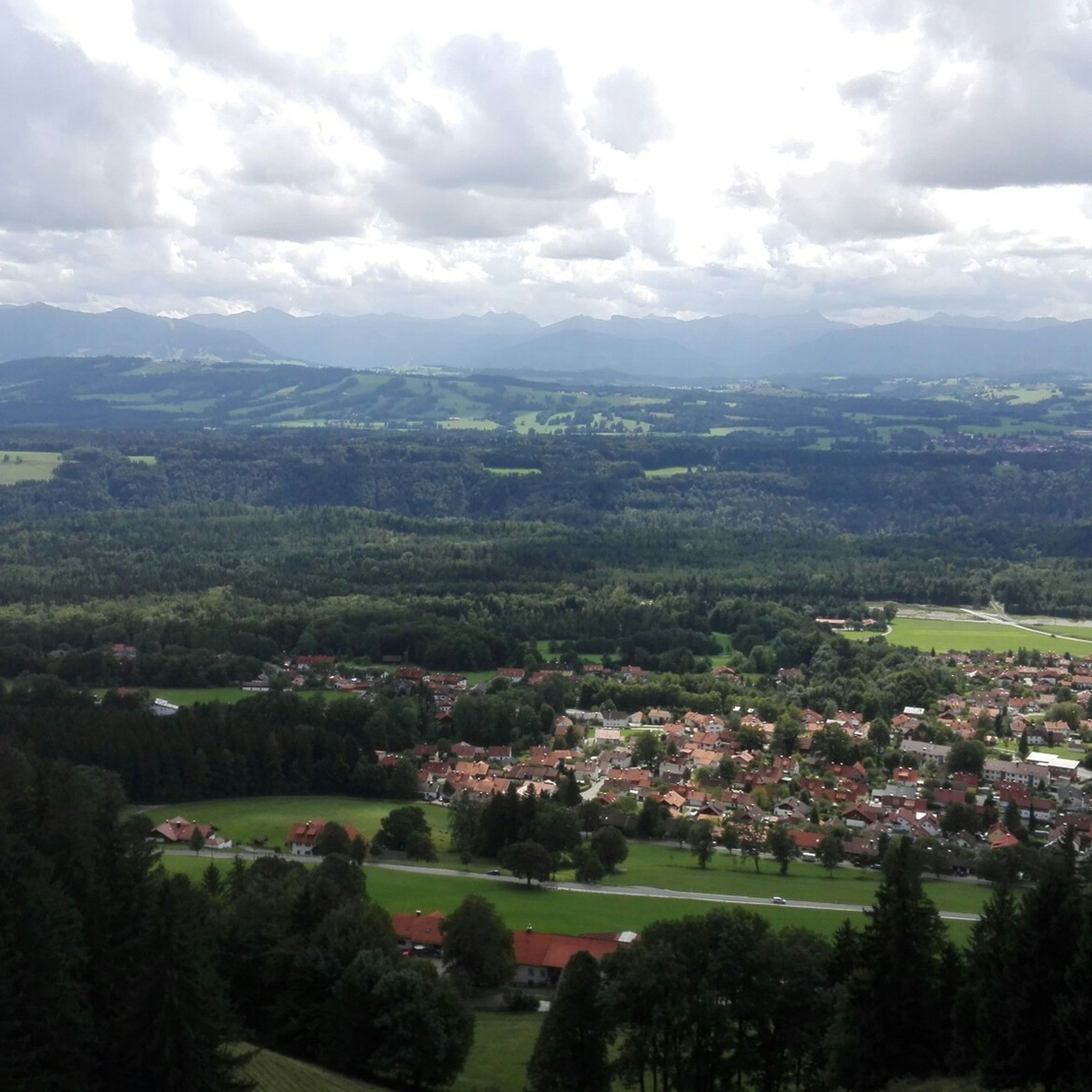
Hiking around Peißenberg
Cycling around Peißenberg
MTB Trails around Peißenberg
Road Cycling Routes around Peißenberg
Gravel biking around Peißenberg

Mountain Hikes around Peißenberg
Other adventures around Peißenberg


Tips from the Community

Beautiful pilgrimage church Mariä Himmelfahrt on the Hohen Peißenberg
1
0

It's simply beautiful here, and you're rarely alone. Please keep that in mind on weekends 😉 Great views and lots of trails to choose from.
1
0

Great view of the Zugspitze
1
0

The Hoher Peißenberg and the pilgrimage church of the Assumption of Mary at the top of the mountain are located on the Way of St. James from Munich to Lindau or, alternatively, Bregenz. On the 16-stage route of this Way of St. James, the Hoher Peißenberg marks the end of stage 5 from Raisting and the start of stage 6 to Rottenbuch. Those who still feel like it in Lindau or Bregenz can then continue their pilgrimage through Switzerland, France, and Spain to Santiago de Compostela, and beyond on the Camino Finisterre to the "end of the world."
2
0
here the Ach flows into the Ammer
2
0
Beautiful section on the Ammer
2
0

Can be reached in 45 minutes from the town of Hohenpeißenberg.
1
0
With free drinking water station where you can fill up bottles or simply quench your thirst.
1
0
Frequently Asked Questions
How many running routes are available around Peißenberg?
There are over 70 dedicated running routes around Peißenberg, catering to various skill levels. You'll find a good mix of easy, moderate, and difficult trails to explore.
Are there any easy or beginner-friendly jogging routes in Peißenberg?
Yes, Peißenberg offers several easy running routes, particularly those following the Ammer river floodplains. These flatter sections are ideal for beginners or those looking for a less strenuous run. You can find 12 easy routes in the area.
What are some options for longer running trails in the Peißenberg area?
For longer runs, consider routes that extend further along the Ammer river or incorporate multiple loops. The Ammersteg Bridge (Oderding) – Ammersteg (Oderding) loop from Peißenberg is a challenging 25.5 km trail, offering a significant distance for endurance runners.
Are there circular jogging paths available in Peißenberg?
Many of the running routes in Peißenberg are designed as loops, allowing you to start and finish in the same location. For example, the popular Ammer Floodplains – Confluence of the Ammer and the Ach loop from Peißenberg is an 8.6-mile circular route.
What kind of scenic spots can I expect to see while running in Peißenberg?
Peißenberg's running routes offer diverse scenery, from the tranquil Ammer river floodplains to the expansive views from Hohenpeißenberg. You'll encounter open fields, forested sections, and panoramic vistas, especially on routes like View of the Alps – View from Hohenpeißenberg loop from Peißenberg.
Are there any running trails that pass by interesting landmarks or attractions?
Yes, several routes incorporate local points of interest. For instance, the Mittelstollen Mine Entrance – View from Hohenpeißenberg loop from Peißenberg takes you past the historic Mittelstollen Mine Entrance. You can also find huts and restaurants like Schatzbergalm or Bromberg Alm near some trails, perfect for a post-run refreshment.
What do other runners say about the trails in Peißenberg?
The running trails in Peißenberg are highly regarded by the komoot community, holding an average rating of 4.5 stars from over 80 reviews. Runners frequently praise the varied terrain, from flat river paths to challenging ascents, and the beautiful natural surroundings.
Are there any running routes suitable for families with children?
For family-friendly runs, consider the flatter sections along the Ammer river floodplains. These routes typically have less elevation gain and offer a more relaxed experience suitable for all ages. Look for routes marked as 'easy' for the best family options.
What is the best season for jogging in Peißenberg?
Peißenberg offers enjoyable running conditions throughout the year. Spring and autumn provide pleasant temperatures and vibrant scenery. Summer is great for early morning or evening runs, while winter can offer unique snowy landscapes, especially on the less exposed river paths.
Are there any less crowded running routes in Peißenberg?
While popular routes like the Ammer Floodplains can see more activity, exploring some of the slightly longer or more challenging trails, such as the View from Hohenpeißenberg – Mittelstollen Mine Entrance loop from Peißenberg, might offer a more solitary experience, especially during off-peak hours.
Are there any running trails with cafes or refreshment stops nearby?
Yes, some trails in the wider Peißenberg area pass near or lead to places where you can grab a refreshment. Highlights like Cheese-Making Demonstration at Schönegger Käse-Alm or various huts like Windachssee-Alm can be found in the vicinity, offering opportunities for a break.
Most popular routes around Peißenberg
Most popular attractions around Peißenberg

Get inspired with the komoot mobile app


Explore more
Browse the best Running Trails & Routes in other regions.
