The best running trails around Waidacher Forst
4.6
(263)
2,847
runners
363
runs
Jogging around Waidacher Forst offers a diverse natural environment for outdoor activity. The region is characterized by extensive wooded landscapes, providing tranquil paths through dense forests. Joggers can expect varied terrain, ranging from relatively flat sections to more challenging inclines, engaging different muscle groups and improving balance. The trails often wind through natural areas, sometimes alongside water features, enhancing the scenic appeal of a run.
Best jogging routes around Waidacher Forst
- The most popular jogging route is Great Wasserstein Rock…
Last updated: October 8, 2026
31
runners
9.12km
01:00
120m
120m
Moderate run. Good fitness required. Mostly paved surfaces. Suitable for all skill levels.
3.0
(1)
18
runners
13.1km
01:27
240m
240m
Moderate run. Good fitness required. Mostly paved surfaces. Suitable for all skill levels.

9
runners
Moderate run. Good fitness required. Mostly paved surfaces. Suitable for all skill levels.
17
runners
Moderate run. Good fitness required. Mostly paved surfaces. Suitable for all skill levels.
4.0
(1)
13
runners
7.31km
00:51
80m
80m
Moderate run. Good fitness required. Mostly paved surfaces. Suitable for all skill levels.
Get access to more routes and recommendations from other explorers.
Already have an account?
Our route recommendations are based on thousands of hikes, rides, and runs completed by other people on komoot.
Start today with a free account
Your next adventure awaits.
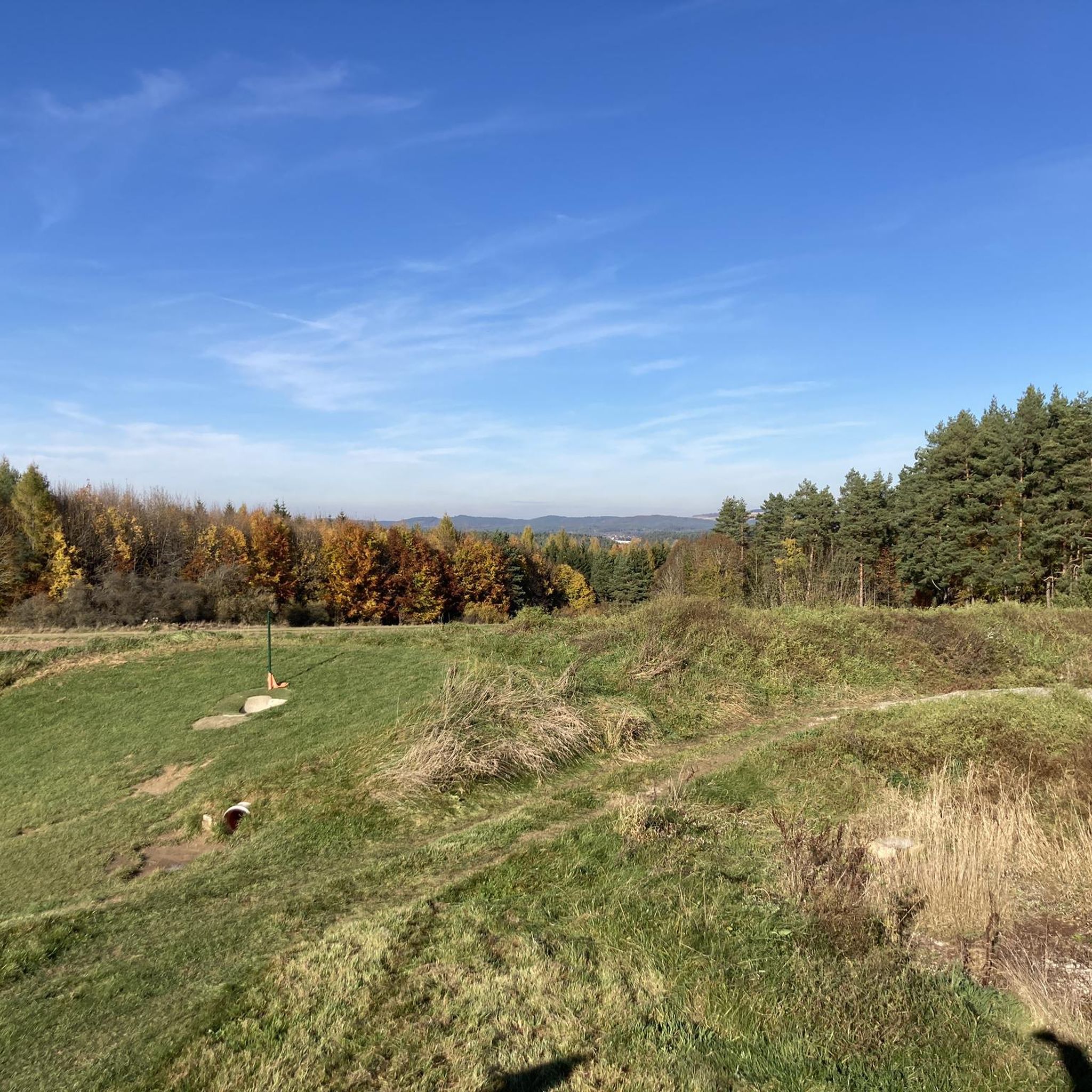
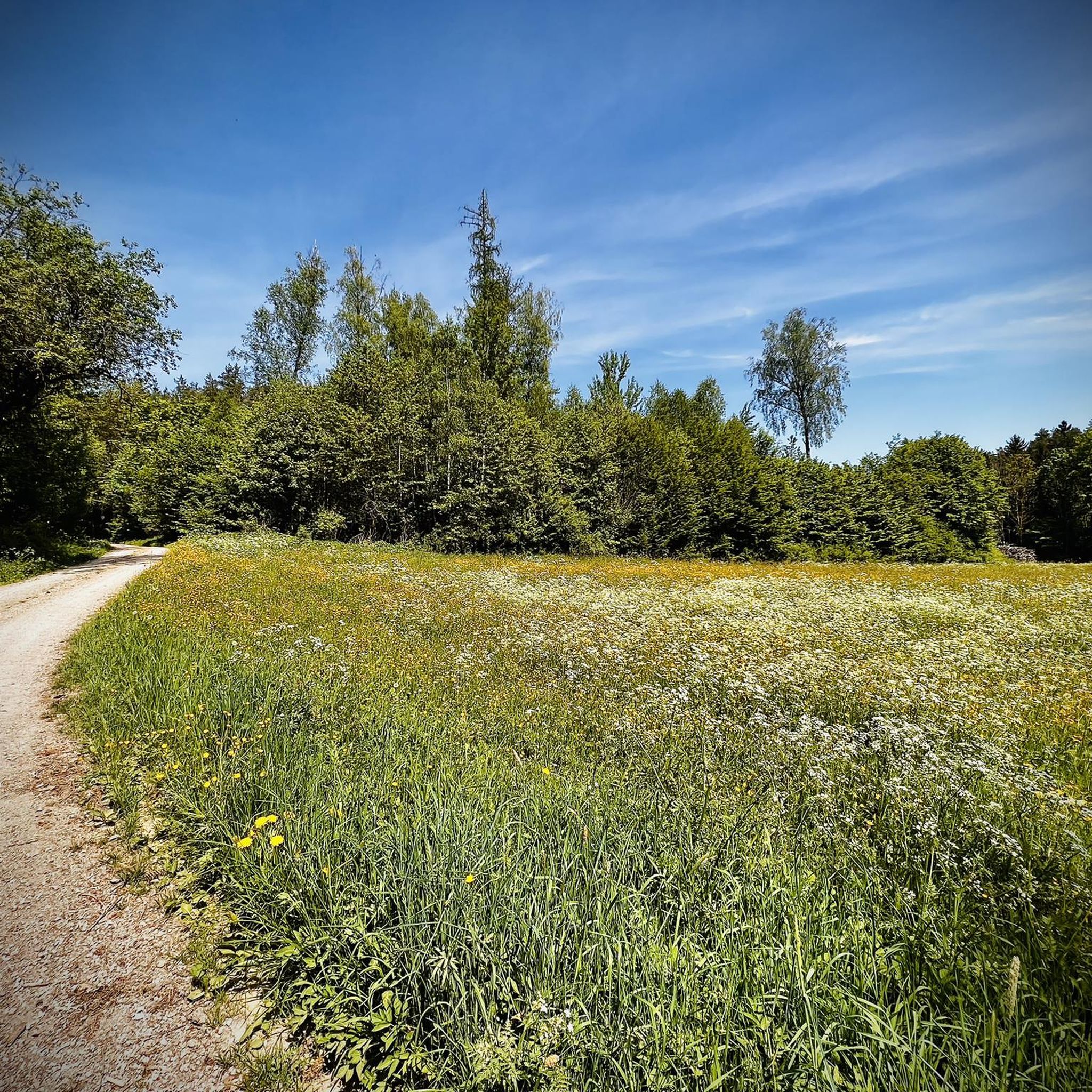
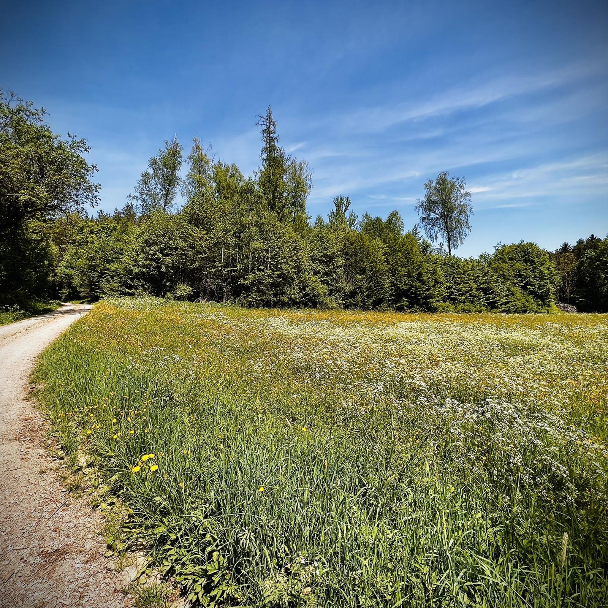
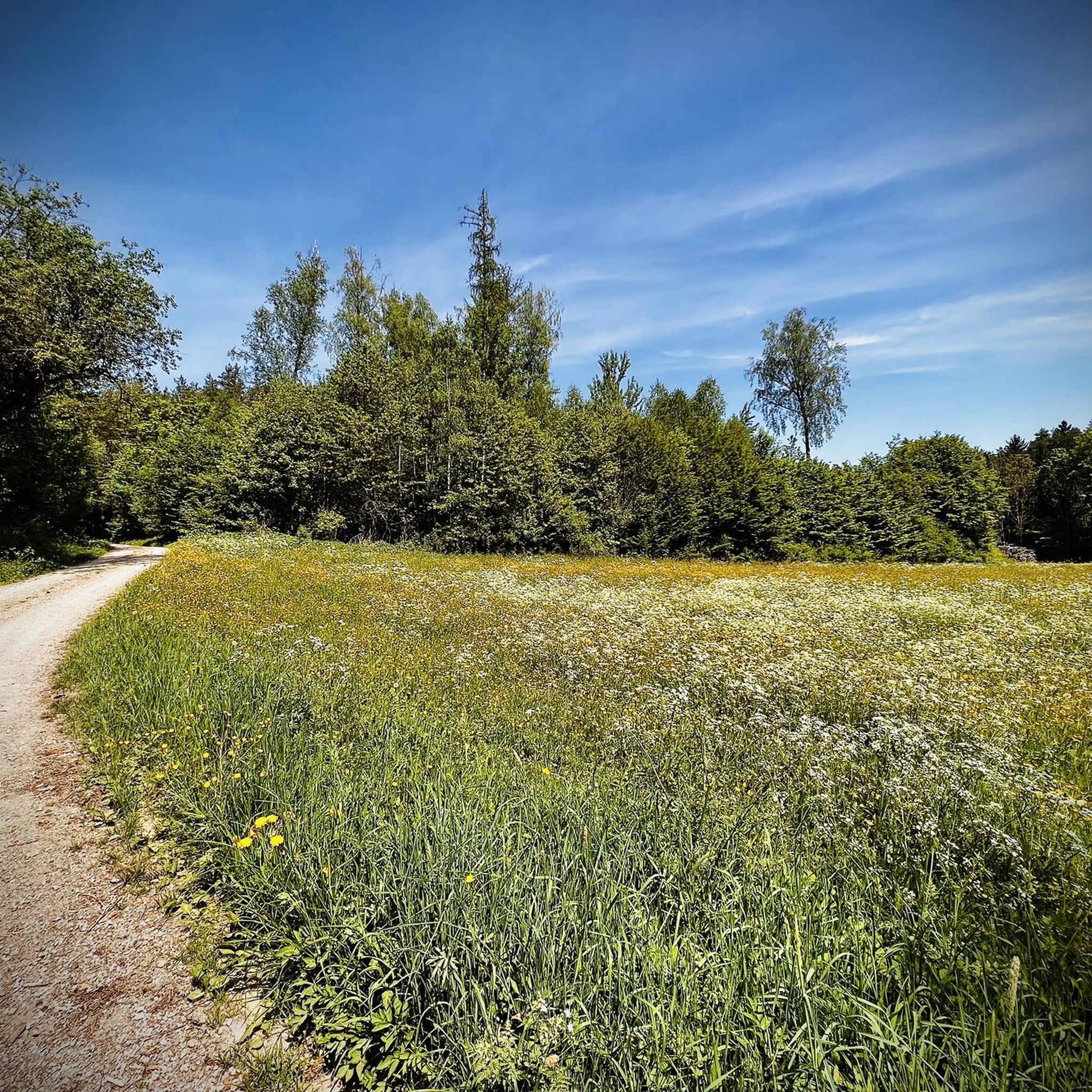
Tips from the Community

The Leienfels castle ruins are located on the 590-meter-high Schlossberg directly above the village of Leienfels. Extensive ruins of the medieval complex have survived to this day. The castle, whose name is likely derived from "Löwenfels" (Lion Rock), is one of the later castles in the Franconian Switzerland region and was probably built in the early 14th century. The castle was severely damaged during the Peasants' War and the Margrave War. From 1646 onwards, the remaining buildings were used as a source of material, and the complex was left to decay. The entire castle complex has the shape of a triangle; a section of approximately 30 meters of the surrounding wall with a cannon slit has been preserved between the former castle gate and the northern edge of the height. The masonry was partially renovated in 2005/06.
3
0
The Catholic parish church of St. John the Baptist in Kirchenbirkig (a district of Pottenstein) is an important architectural monument in the Franconian Switzerland region, combining medieval origins with 20th-century extensions. The choir and the eastern part of the nave already date back to the 15th century. This is indicated by the chancel and the massive, large baptismal font. It is one of the so-called "Taufkirchen" (Baptismal Churches). The colored arched window depicts Christ teaching the children. The round window on the west wall shows the baptism of Widukind, who is said to have been baptized by a bishop in 785 as the leader of rebellious Saxons. In 1936/37, the church was significantly enlarged to the west by an extension. The church is the center of the parish of St. John the Baptist Kirchenbirkig, which belongs to the pastoral care area of Pottenstein in the Archdiocese of Bamberg.
4
0

The castle was probably built around 1300 by Seibot I of Egloffstein as a ministerial aristocratic residence and was first documented in 1372 (Knight Götz von Egloffstein). In 1380, the castle was conquered by troops of the Burgrave of Nuremberg and the Bishop of Bamberg. In 1397, King Wenceslas had the castle destroyed to combat robber barons.
0
0

Worth seeing and well-maintained architecture.
0
0
Here time seems to have stood still
0
0

At this old house, the hiking trail leads between rocks, partly up stairs.
0
0

There is not much left... some foundation walls, a cellar... and still a fine destination
7
0
Enough space on the memory card? 😏… here in the valley there is still a lot to be added
7
0
Frequently Asked Questions
How many running routes are available in Waidacher Forst?
There are over 340 running routes in Waidacher Forst, offering a wide variety of options for joggers of all levels. These include 26 easy routes, 237 moderate routes, and 78 difficult routes.
What kind of terrain can I expect on the jogging routes in Waidacher Forst?
Joggers in Waidacher Forst can expect diverse terrain, ranging from relatively flat paths to more challenging inclines. The routes often wind through extensive wooded landscapes and natural areas, sometimes alongside water features, providing a dynamic and scenic running experience.
Are there any circular running routes in Waidacher Forst?
Yes, many of the running routes in Waidacher Forst are circular. For example, the Great Wasserstein Rock Shelter – Wasserstein Gate loop from Hüll is a popular 4.5-mile (7.2 km) trail featuring varied forest paths. Another option is the Schöne Aussicht loop from Kirchenbirkig, a moderate 3.4-mile (5.5 km) path with scenic views.
What do other runners enjoy most about jogging in Waidacher Forst?
The running routes in Waidacher Forst are highly rated by the komoot community, with an average score of 4.6 stars from over 200 reviews. Runners often praise the tranquil paths through dense forests, the varied terrain that offers a dynamic workout, and the scenic appeal of routes winding through natural areas.
Are there any interesting landmarks or viewpoints along the running routes?
Yes, Waidacher Forst offers several natural and man-made landmarks. You might encounter the Klagemauer Rock Formation or enjoy panoramic views from observation towers like Schmidberg Observation Tower or Kleiner Kulm Observation Tower. The Wichsenstein Rock Viewpoint also offers expansive vistas.
Are the running trails in Waidacher Forst suitable for families?
Waidacher Forst offers a range of routes, including 26 easy options, which can be suitable for families. The varied terrain and natural environment provide an engaging experience. It's advisable to check individual route descriptions for specific details on difficulty and suitability for children or strollers.
Are dogs allowed on the running routes in Waidacher Forst?
Generally, dogs are welcome on trails in natural areas like Waidacher Forst. However, it's always recommended to keep dogs on a leash to protect wildlife and ensure a pleasant experience for all users. Specific rules may vary, so look for local signage.
What are the parking options for accessing running routes in Waidacher Forst?
While specific parking areas are not detailed in the guide, the presence of numerous routes starting from various points like Hüll, Kirchenbirkig, and Ruine Bärnfels suggests that parking facilities are available near common trailheads. It's best to check the starting point of your chosen route for specific parking information.
Are there any routes that pass by lakes or water features?
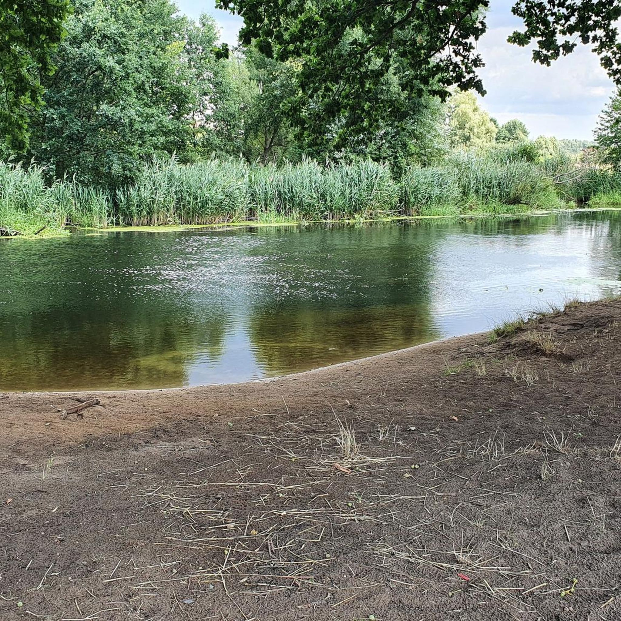
Yes, the trails in Waidacher Forst often wind through natural areas and alongside water features, enhancing the scenic appeal of a run. You might find routes near highlights such as the Ponds at the former Klumpermühle or the Beaver Pond in the Großenoher Valley.
What is a good route for a longer run in Waidacher Forst?
For a longer run, consider the Hollow Way – Junction With Dirt Path loop from Ruine Bärnfels. This trail is 7.5 miles (12.0 km) long and leads through varied forest terrain, typically completed in about 1 hour 23 minutes.
Are there any cafes or places to eat near the running trails?
While the guide doesn't specify cafes directly on the trails, the region around Waidacher Forst, including nearby towns like Pottenstein, Betzenstein, and Gößweinstein, offers various options for refreshments. You might even find unique spots like the Schüttersmühle Trout Smokehouse near some lake highlights.
Do I need any permits to run in Waidacher Forst?
There is no indication that permits are required for jogging on the trails in Waidacher Forst. The area is generally open for public outdoor activities. However, always respect local regulations and private property signage.
Most popular routes around Waidacher Forst
Most popular attractions around Waidacher Forst

Get inspired with the komoot mobile app


Explore more
Browse the best Running Trails & Routes in other regions.
