The best mountain hikes around Buttenheim
3
hikers
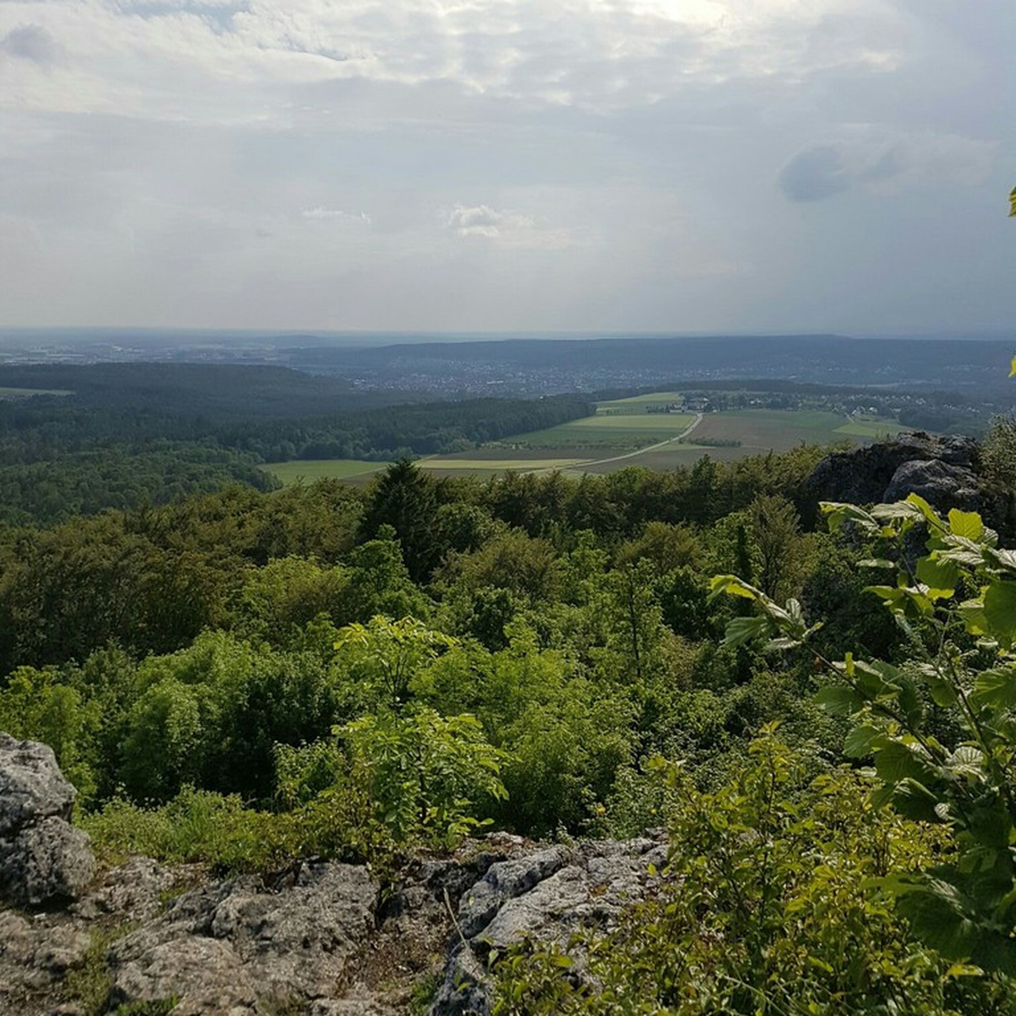
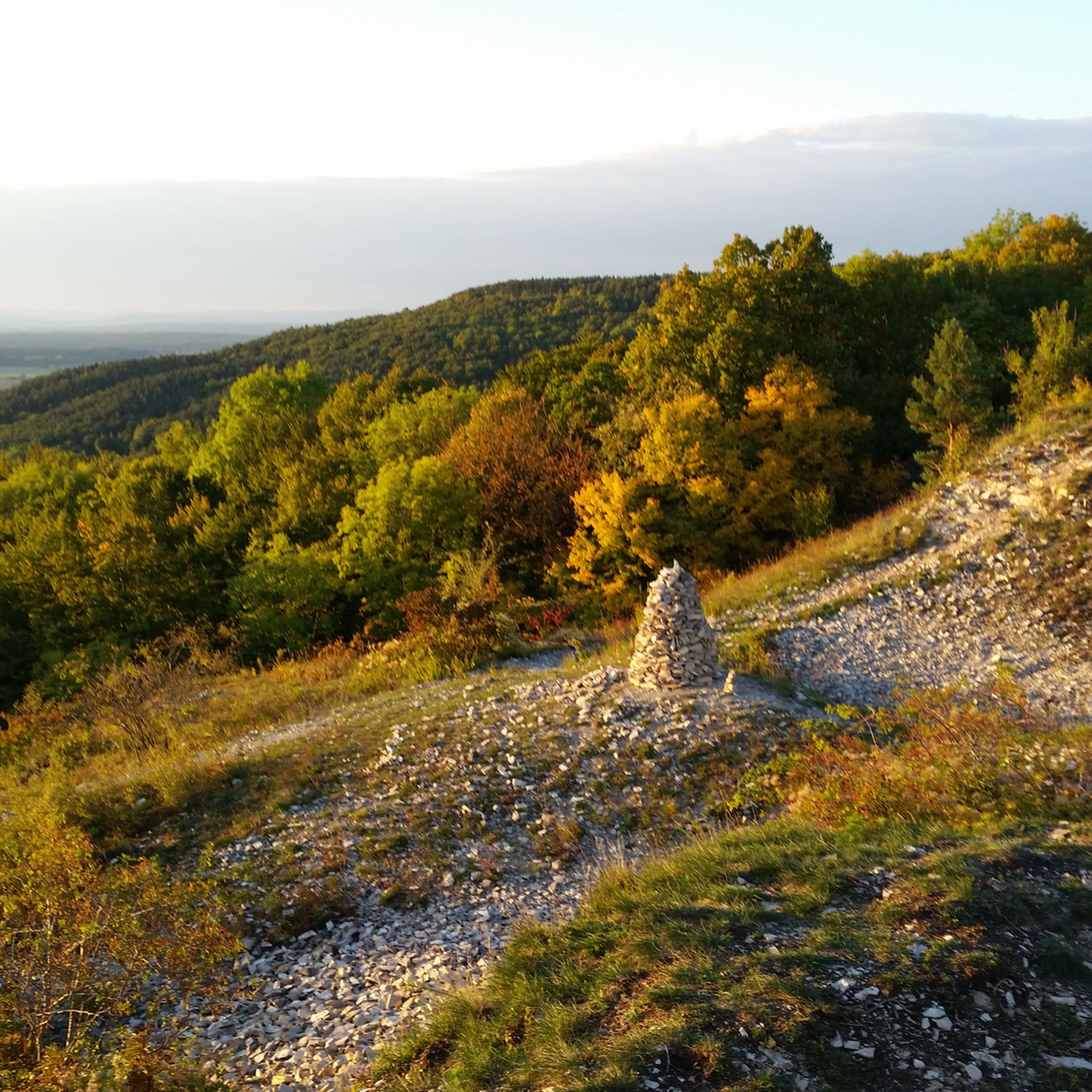
Mountaineering routes around Buttenheim are situated at the foot of the Franconian Jura, offering a landscape characterized by impressive limestone cliffs and rolling hills. The region is part of Franconian Switzerland, known for its diverse terrain and dense forests. This geological setting provides varied opportunities for mountaineering, with numerous rock formations suitable for climbing and exploration.
Best mountaineering routes around Buttenheim
- The most popular mountaineering route is Neideck Castle Ruins – Ruins of Streitburg Castle loop from Streitberg, a…
Last updated: July 9, 2026
1
hikers
6.56km
02:01
200m
210m
Moderate mountaineering route. Good fitness required. Mostly accessible paths. Sure-footedness required.
2
hikers
13.7km
04:17
490m
490m
Moderate mountaineering route. Good fitness required. Mostly accessible paths. Sure-footedness required.
Our route recommendations are based on thousands of hikes, rides, and runs completed by other people on komoot.
Start today with a free account
Your next adventure awaits.
Login or Signup
Tips from the Community

was excavated...and very worth seeing and informative
0
0

The hole prison is super interesting
2
0

Sale of jam and nuts in a box with cash register of trust
0
0

The bridge is a good location to photograph the Neideck over the Wiesent Next to the bridge you can easily get to the water.
0
0

The hall church was built between 1752 and 1757 after the previous building in Niederfellendorf had to be demolished due to the expansion of the cemetery. It consists of a nave with three window axes, covered with a hipped roof, and a square, three-storey choir tower in the east, covered with a pyramid roof, the top floor of which houses the tower clock and the bell cage. The interior of the nave, which is covered with a panelled flat ceiling, has two-storey galleries on three sides. The interior of the choir, i.e. the ground floor of the choir tower, is also covered with a flat ceiling. In the years 1932 to 1934, the church furnishings were renewed by Karl Hemmeter. A pulpit altar was built and an ambo was set up. The baptismal font dates back to the 16th century.
0
0

The Gothic hall church was rebuilt after a fire in the city in 1632. It consists of a nave, a recessed choir closed on three sides and a choir flank tower on a square floor plan on its south wall, which was extended in 1743/45. It only received its roof in the shape of a truncated pyramid, from which an octagonal ridge turret rises between the dormer windows for the clock faces of the tower, in the 19th century, as well as its bell dome, which tapers to a point. The walls of the nave were raised in 1784, and there are round windows there. The interior of the nave has two-story galleries on three sides. The 17th-century pictures on the parapets of the lower galleries were uncovered again during renovation. The altar from 1661 is in the shape of a two-story triumphal arch, and on the upper floor there is a statue of St. Lawrence. The pulpit from 1785 with its sounding board is in the shape of a stylized crown. On the wall opposite it stands a Man of Sorrows. The baptismal font was installed in 1668. The organ with 21 registers, two manuals and a pedal was built in 1980 by E. F. Walcker & Cie. Source: Wikipedia
0
0

It's just nice to see the water from the bridge
1
0
Signposted detour from the hiking trail to a natural vantage point with a snack bar.
2
3
Frequently Asked Questions
What kind of terrain can I expect on mountaineering routes around Buttenheim?
Mountaineering routes around Buttenheim are characterized by the unique geology of the Franconian Jura and Franconian Switzerland. You'll encounter impressive limestone cliffs, rolling hills, and dense forests. The region is known for its diverse rock formations, offering varied opportunities for exploration and climbing.
Are there routes suitable for beginners or those looking for a moderate challenge?
Yes, the area offers routes for various skill levels. For a moderate experience, consider the Neideck Castle Ruins – Ruins of Streitburg Castle loop from Streitberg, which is about 4 miles (6.5 km) long with a total ascent of 666 feet (203 meters).
Are there more challenging mountaineering routes available?
Absolutely. For those seeking a more demanding experience, the View from Friesener Warte – Friesener Warte Trails loop from Friesen is a difficult 6.1-mile (9.9 km) trail with a significant ascent of 1,273 feet (388 meters).
What are some notable viewpoints or landmarks along the mountaineering routes?
The region boasts several scenic viewpoints and interesting landmarks. You can enjoy the View from the Friesener Warte, or visit the Wallerwarte Watchtower. The area is also home to the Vexier Chapel of St. Nicholas, Reifenberg.
Are there any waterfalls or tufa formations to see?
Yes, the region is known for its unique tufa formations and waterfalls. You can explore the Wedenbach tufa terraces and waterfall or the Deichselbach Tufa Terraces (Tufa Steps). The Sinter Terraces of Tiefenstürmig are also a notable natural monument.
What is the typical length and duration of mountaineering routes in this area?
Route lengths vary, but you can find options ranging from around 4 miles (6.5 km) to over 8 miles (13.8 km). Durations typically range from 2 hours for shorter, moderate routes to over 4 hours for longer, more challenging paths, depending on your pace and breaks.
Are there circular mountaineering routes around Buttenheim?
Yes, many of the mountaineering routes in the area are designed as loops, allowing you to start and end at the same point. Examples include the Neideck Castle Ruins – Streitberg Castle Ruins loop from Streitberg and the View from Friesener Warte – Friesener Warte Trails loop from Friesen.
What is the best time of year for mountaineering near Buttenheim?
The Franconian Jura region is generally pleasant for mountaineering from spring through autumn. Spring brings blooming landscapes, while autumn offers vibrant foliage. Summer is also suitable, though it can be warmer. Winter mountaineering is possible but requires checking local conditions due to potential snow and ice on higher elevations and cliffs.
Are there any specific climbing gardens or dedicated climbing areas near Buttenheim?
Yes, the region is known for its climbing opportunities. The Frankendorf Climbing Garden, with its rocks on the Annastein side, is a specific location near Buttenheim that indicates dedicated areas for the sport, leveraging the impressive limestone cliffs of Franconian Switzerland.
What can I expect regarding parking for these routes?
While specific parking details for each route are best checked on the individual tour pages, the extensive network of trails in the Franconian Switzerland region generally offers various parking options near trailheads, especially in popular starting points like Streitberg or Friesen.
What do other mountaineers say about the routes around Buttenheim?
The komoot community frequently praises the diverse terrain and scenic beauty of the mountaineering routes around Buttenheim. Users often highlight the impressive rock formations, the tranquility of the forests, and the rewarding views from various points along the trails.
Most popular routes around Buttenheim
Most popular attractions around Buttenheim

Get inspired with the komoot mobile app


Explore more
Browse the best Mountain Hikes & Routes in other regions.
