The best running trails around Geroldsgrün
4.5
(23)
242
runners
29
runs
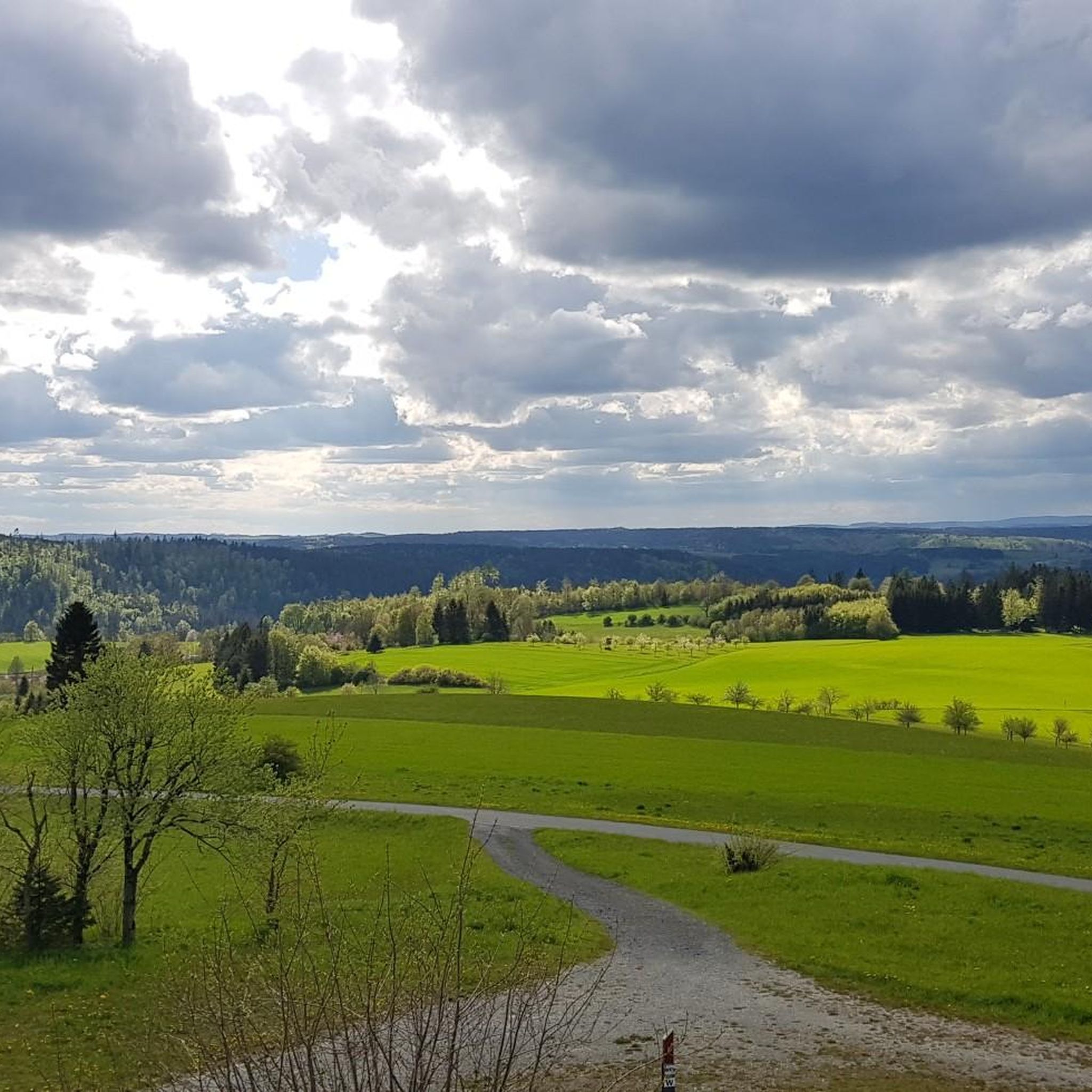
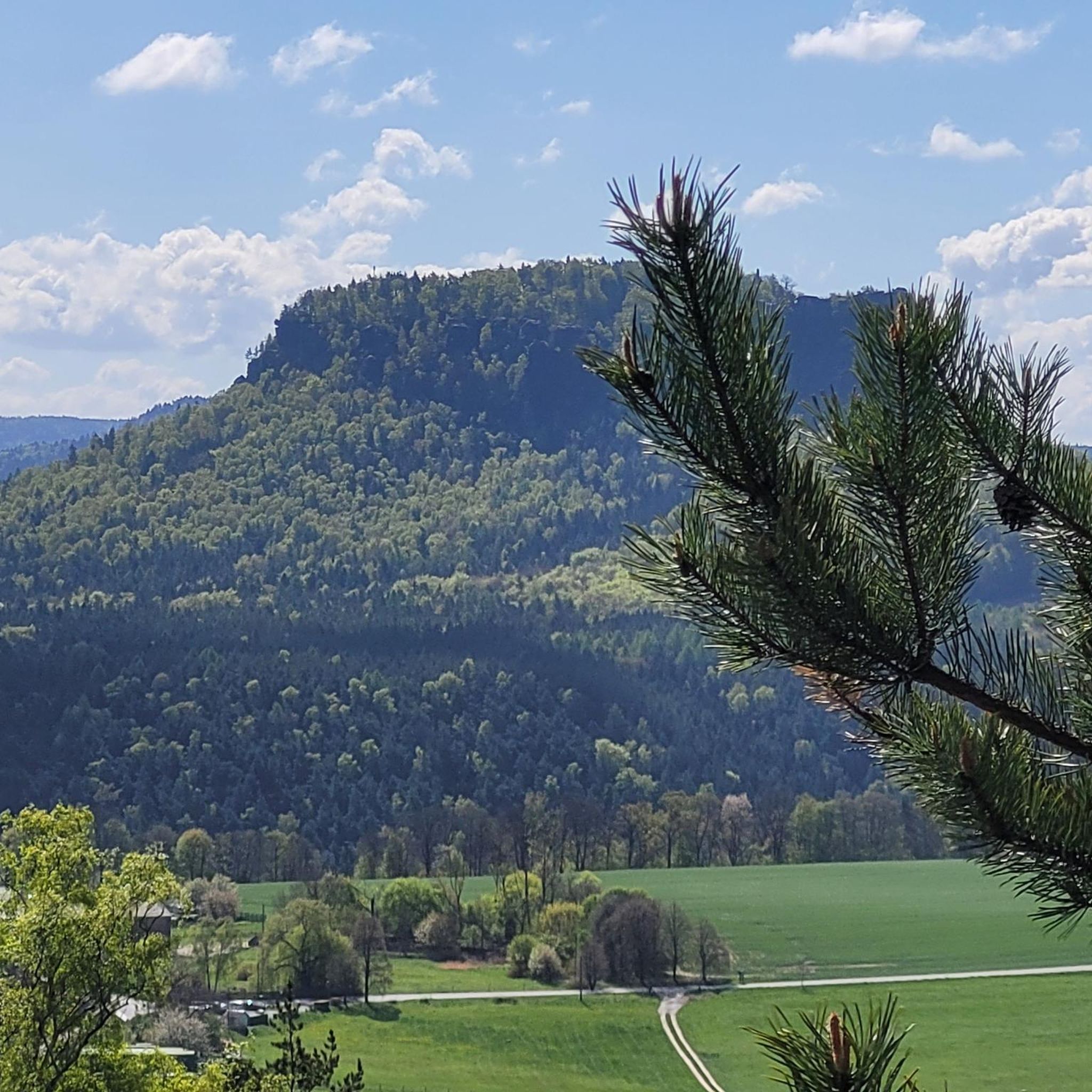
Jogging routes around Geroldsgrün are set within the wooded low mountain range of the Frankenwald, offering diverse landscapes for running. The region features varied topography with hills and valleys, providing both challenging ascents and gentler paths. Runners can explore dense forests, scenic trails along the River Saale, and areas with historic rafting ponds. This natural setting makes Geroldsgrün suitable for various running experiences.
Best jogging routes around Geroldsgrün
- The most popular jogging route is Shoe Tree – Carlsgrün Avenue loop…
Last updated: September 29, 2026
24
runners
Hard run. Very good fitness required. Mostly paved surfaces. Suitable for all skill levels.
27
runners
Moderate run. Good fitness required. Mostly paved surfaces. Suitable for all skill levels.

4.3
(3)
23
runners
15.5km
01:39
220m
220m
Hard run. Very good fitness required. Mostly paved surfaces. Suitable for all skill levels.
4.0
(2)
14
runners
7.28km
00:47
120m
120m
Moderate run. Good fitness required. Mostly paved surfaces. Suitable for all skill levels.
11
runners
5.75km
00:38
130m
130m
Moderate run. Good fitness required. Mostly paved surfaces. Suitable for all skill levels.
Get access to more routes and recommendations from other explorers.
Already have an account?
Our route recommendations are based on thousands of hikes, rides, and runs completed by other people on komoot.
Start today with a free account
Your next adventure awaits.

Other adventures around Geroldsgrün


Tips from the Community

It's beautiful here, we'll gladly come back.
0
0
It is beautiful here, we will gladly come again.
0
0
It's beautiful here, we'd love to come back.
0
0

Here in the spa park you feel comfortable.
2
0

NatureOase with natural products
2
0

The Frankenwarte (Frankenwarte) stands atop the 679-meter-high Hirschhügel (Hirschhügel). The eight-and-a-half-meter-high, round stone tower offers a panoramic view to the northeast, to the edge of the Höllental valley, to Lichtenberg and Bad Steben, and to the west to the hills near Nordhalben. To the south, Geroldsgrün, the 729-meter-high Spitzberg, and the 758-meter-high Schneidberg can be seen, and hidden behind them, the highest peak in the Franconian Forest, the 794-meter-high Döbraberg. To the southeast, the view extends to the Fichtel Mountains. The Frankenwarte was built and is maintained by the Franconian Forest Association. Plans to build an observation tower on the hill existed as early as 1930. However, the Frankenwarte was not inaugurated until August 12, 1951. In 2020, panoramic panels were installed on the parapet of the viewing platform, illustrating the towns and landscape features visible from here.
13
0

Beautiful slate rest area.
0
0
Frequently Asked Questions
How many running routes are available in Geroldsgrün?
Geroldsgrün offers a diverse selection of over 30 running routes, catering to various fitness levels. You'll find everything from easy paths to more challenging trails through the Frankenwald.
What kind of terrain can I expect when jogging in Geroldsgrün?
The region features a varied topography with hills and valleys, providing both challenging ascents and gentler, flatter paths. You can expect to run through dense forests, along scenic trails beside the River Saale, and past unique geological features like slate heaps in the Ölsnitz valley. The area is part of the wooded low mountain range of the Frankenwald.
Are there any easy running routes for beginners or those looking for a relaxed pace?
Yes, Geroldsgrün has several routes suitable for beginners. There are at least 4 easy routes available, perfect for a relaxed jog. For example, the Carlsgrün Avenue – Kurpark Bad Steben loop from Langenbach is a moderate 7.3 km path that offers a pleasant experience through the local landscape.
What is the best time of year for jogging in Geroldsgrün?
Spring and autumn are considered the best seasons for jogging in Geroldsgrün. During these times, you'll experience pleasant temperatures and vibrant natural scenery, making your run through the Frankenwald particularly enjoyable.
Are there any circular running routes in the Geroldsgrün area?
Yes, many of the running routes in Geroldsgrün are circular, allowing you to start and end at the same point. A notable example is the Shoe Tree – Carlsgrün Avenue loop from Langenbach, which is a 10.6 km trail winding through forest areas. The region also features a recommendable 10 km circular trail around the 'Hoher Stein'.
Can I find running routes with good viewpoints in Geroldsgrün?
Absolutely. Several routes lead to rewarding viewpoints. The Carlsgrün Avenue – Frankenwarte Observation Tower loop from Geroldsgrün is a moderate 14.4 km path that leads directly to the Frankenwarte viewpoint. Other notable viewpoints in the area include the Kämmleinsfelsen and Langesbühl, which often involve invigorating inclines.
Are there any routes that pass by water features like lakes or rivers?
Yes, the region offers scenic trails along the River Saale, providing beautiful views of the surrounding valley. For those who enjoy running around larger bodies of water, several lakes, including the Untreusee, offer pleasant circuits. You might also encounter historic rafting ponds (Floßteiche) in Langenau and Lamitztal, adding to the scenic appeal.
What do other runners say about the trails in Geroldsgrün?
The running routes in Geroldsgrün are highly rated by the komoot community, with an average score of 4.6 stars from over 20 reviews. Runners often praise the diverse landscapes, the well-maintained trails, and the opportunity to immerse themselves in the tranquil nature of the Frankenwald.
Are there any interesting landmarks or attractions along the running routes?
Yes, you can discover several interesting landmarks. For instance, the Carlsgrün Avenue – Frankenwarte Observation Tower loop from Geroldsgrün leads to the Frankenwarte viewpoint. Other nearby attractions include the Prinz-Luitpold Tower on Döbraberg, offering panoramic views, and the unique 👹 Höllental (Hell Valley) with its bridges like the Jungfernsteg and Teufelssteg.
Are there any longer or more challenging running routes for experienced runners?
Yes, for experienced runners seeking a challenge, Geroldsgrün offers several difficult routes. One such option is the Carlsgrün Avenue – Frankenwaldsee loop from Langenbach, a 15.7 km route with significant elevation changes, providing a demanding workout through the varied terrain of the Frankenwald.
Are the running trails in Geroldsgrün well-marked?
Yes, the area is crisscrossed with numerous well-marked and certified hiking trails and geo-paths that are also ideal for running. This includes sections of the long-distance circular hiking trail FrankenwaldSteig, ensuring clear navigation during your run.
Most popular routes around Geroldsgrün
Most popular attractions around Geroldsgrün

Get inspired with the komoot mobile app


Explore more
Browse the best Running Trails & Routes in other regions.
