The best mountain hikes around Kirchenlamitz
5.0
(2)
14
hikers
6
hikes
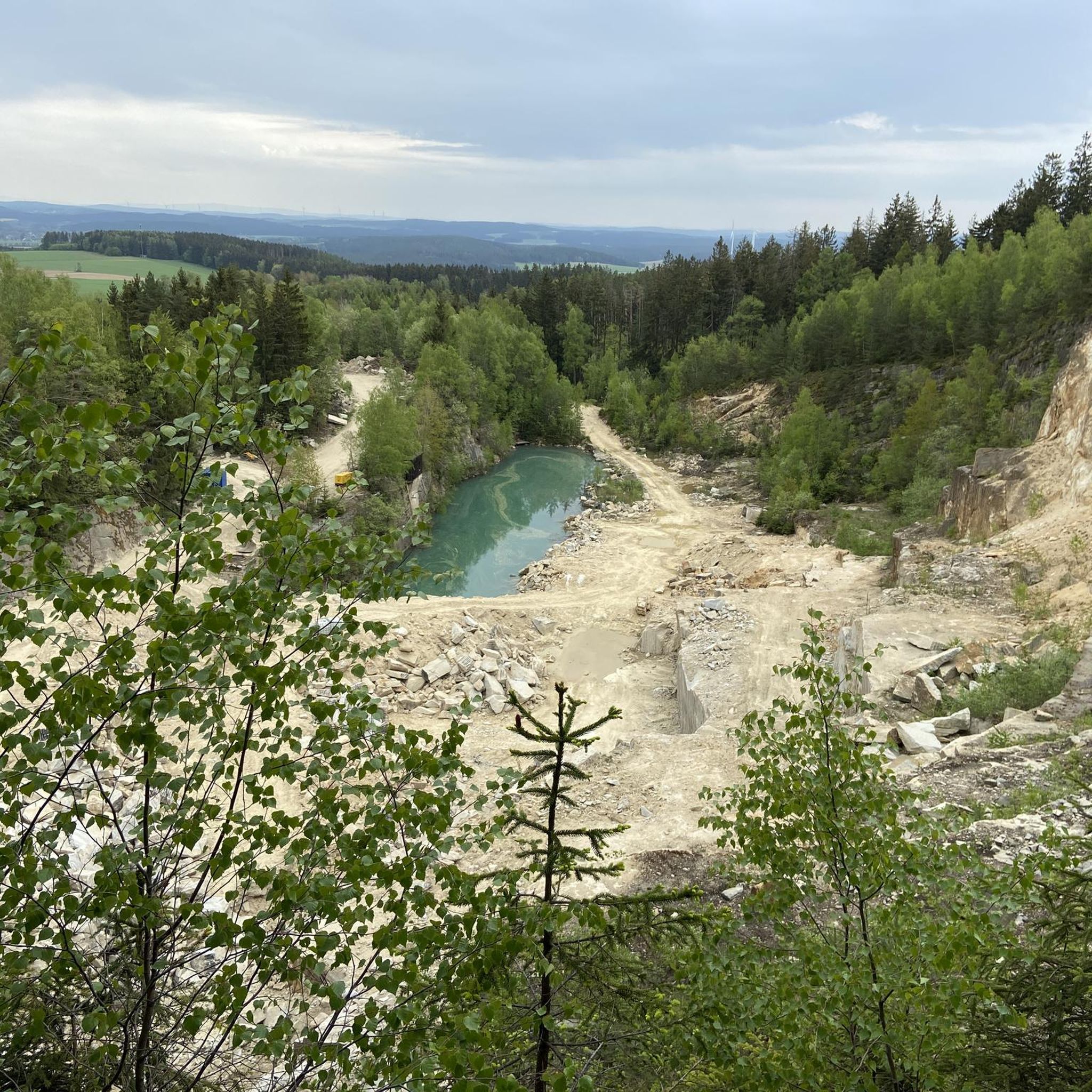
Mountaineering around Kirchenlamitz offers diverse landscapes within the Fichtelgebirge mountains, characterized by rolling hills and dense forests. The region is known for its rugged granite formations, such as those found on the Rudolfstein and Nußhardt summits, which feature unique rock formations like the "Blockmeer." The area also includes silent forest lakes and the scenic Lamitz River, providing varied terrain for mountaineering routes.
Best mountaineering routes around Kirchenlamitz
- The most popular mountaineering route is 🏔️ Great Waldstein – Großer Waldstein loop…
Last updated: August 19, 2026
4
hikers
8.00km
02:25
270m
270m
Moderate mountaineering route. Good fitness required. Easily-accessible paths. Suitable for all skill levels.
5
hikers
4.88km
01:14
10m
10m
Easy mountaineering route. Great for any fitness level. Easily-accessible paths. Suitable for all skill levels.

Sign up for free
5.0
(1)
1
hikers
Moderate mountaineering route. Good fitness required. Mostly accessible paths. Sure-footedness required.
2
hikers
7.52km
02:12
220m
220m
Moderate mountaineering route. Good fitness required. Easily-accessible paths. Suitable for all skill levels.
1
hikers
Moderate mountaineering route. Good fitness required. Easily-accessible paths. Suitable for all skill levels.
Our route recommendations are based on thousands of hikes, rides, and runs completed by other people on komoot.
Start today with a free account
Your next adventure awaits.
Login or Signup
Popular around Kirchenlamitz

The National Natural Landscapes in Bavaria
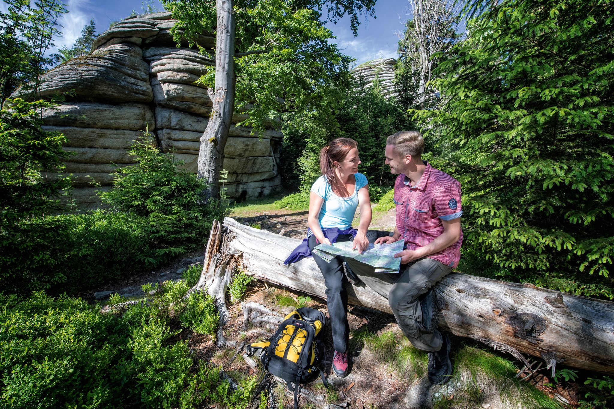
The Franconian Mountain Trail – 21 Stages of Magical Summit Bliss
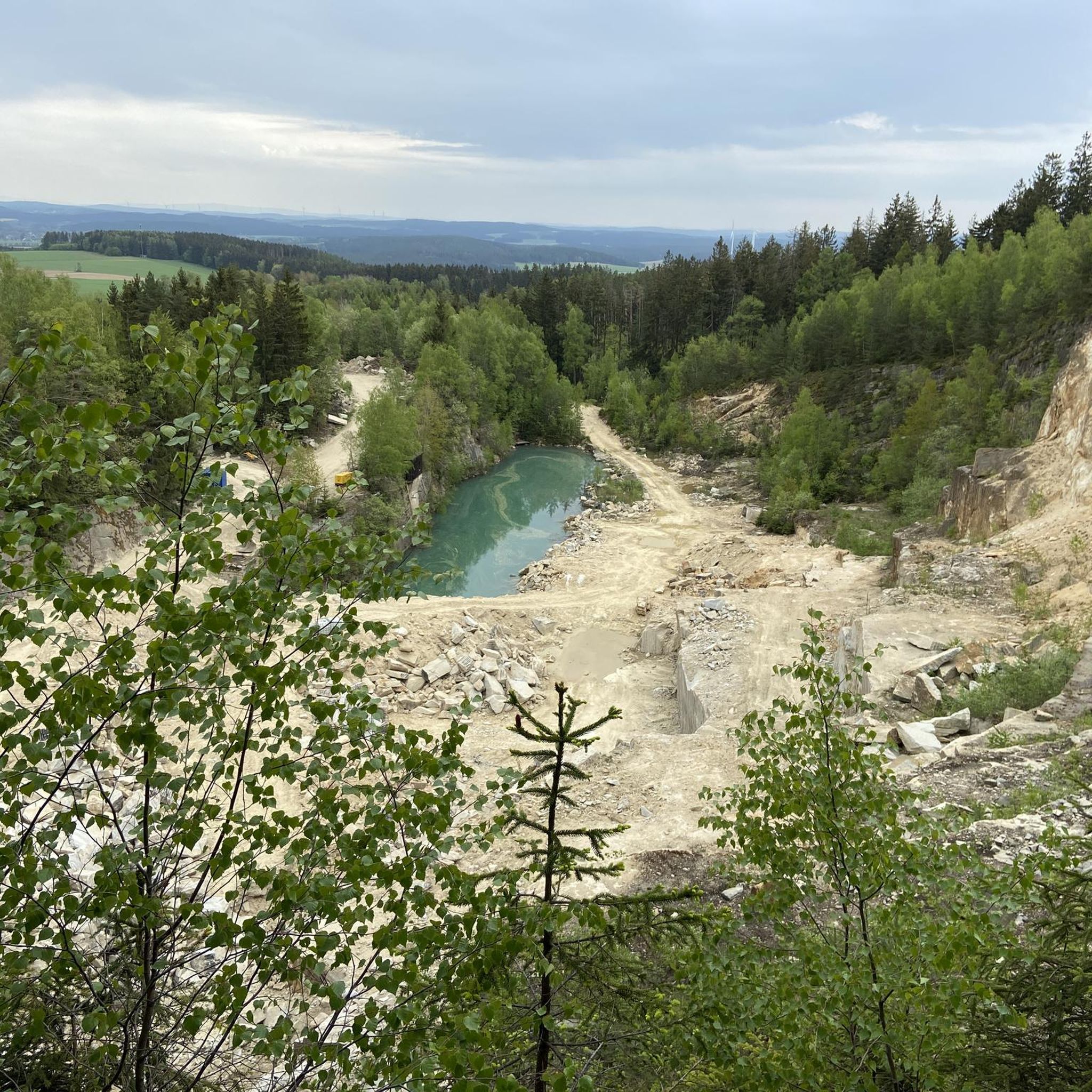
Hiking around Kirchenlamitz
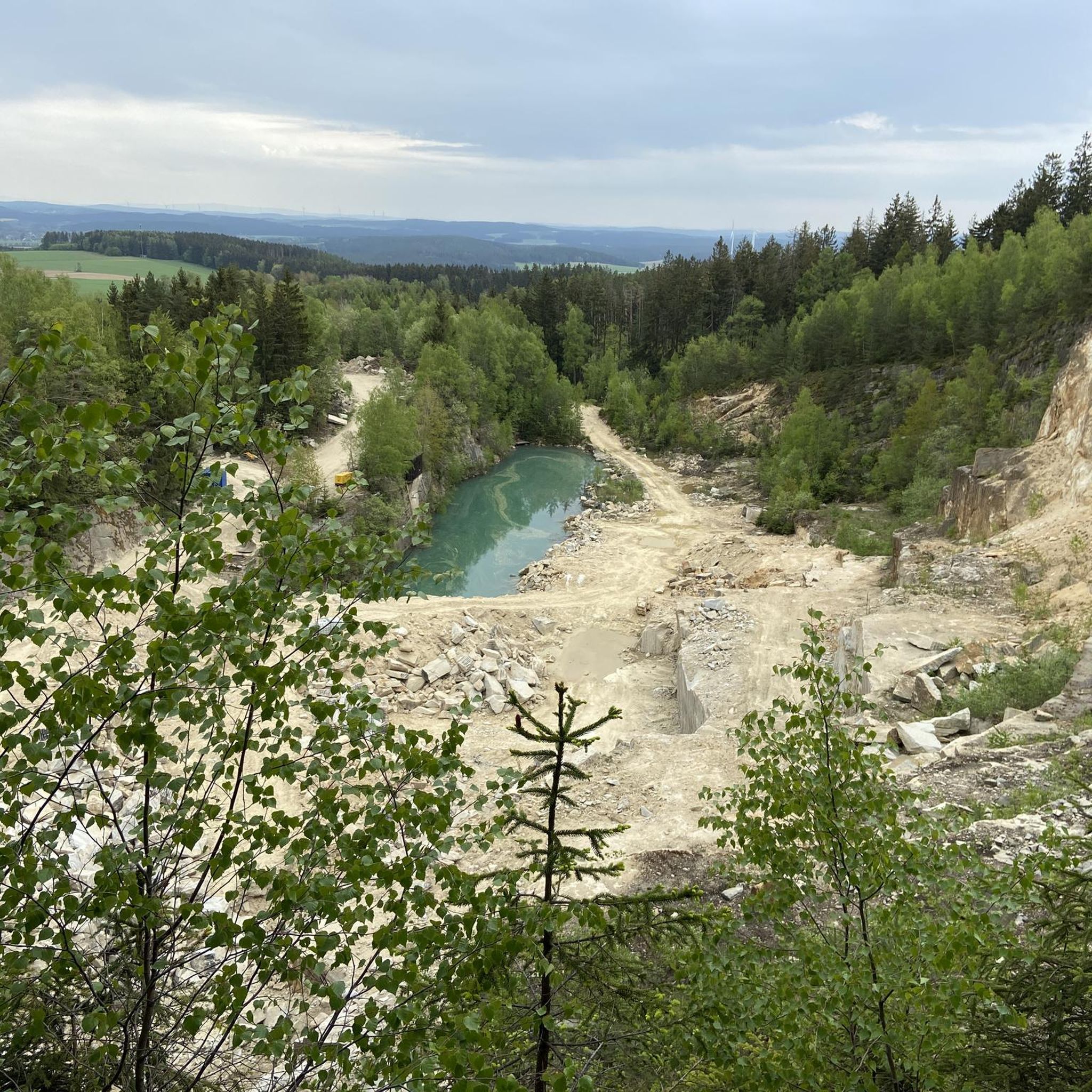
Cycling around Kirchenlamitz
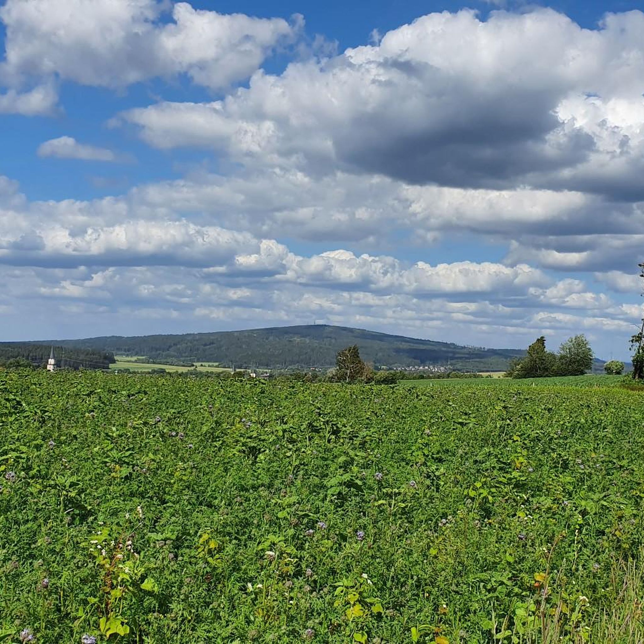
MTB Trails around Kirchenlamitz
Road Cycling Routes around Kirchenlamitz
Running Trails around Kirchenlamitz

Gravel biking around Kirchenlamitz


Tips from the Community

Fish smoking on the Weißenstädter See
1
1

Not so nice, but visible from afar.
0
1
Here you can find not only smoked fish, but also grilled fish with potato salad, as well as coffee and cake (albeit with a small selection). You sit with a view of the lake.
1
0

Very nice circular trail, nature reserve
0
1
A very nice circular route around the lake
0
0

Very informative and well laid out
0
0
Frequently Asked Questions
What kind of terrain can I expect on mountaineering routes around Kirchenlamitz?
The region is characterized by diverse landscapes, including rolling hills, dense forests, and rugged granite formations. You'll encounter unique features like the "Blockmeer" (a sea of massive boulders) on Nußhardt and historical granite quarries. The scenic Lamitz River also winds through the area, offering varied terrain for your adventures.
Are there any easy mountaineering routes suitable for beginners or families?
Yes, there are routes suitable for all levels. For an easier experience, consider the Lake Weißenstadt – Weißenstadt Lake loop from Bad Weißenstadt. This 3.0-mile (4.8 km) trail leads through scenic lakeside paths and is often completed in about 1 hour 13 minutes, making it ideal for a relaxed outing.
Where can I find challenging mountaineering trails in the Kirchenlamitz area?
For more demanding routes, the Fichtelgebirge mountains offer challenging ascents. The 1000-meter stone – Schneeberg summit loop from Bischofsgrüner Forst is a moderate 5.0-mile (8.0 km) path that ascends towards Schneeberg, the highest mountain in Northern Bavaria, providing comprehensive views and a good workout.
Are there circular mountaineering routes available?
Many of the routes around Kirchenlamitz are designed as loops, allowing you to start and end at the same point. For example, the 🏔️ Great Waldstein – Großer Waldstein loop from Zell im Fichtelgebirge is a popular 4.7-mile (7.5 km) circular trail that takes about 2 hours 12 minutes to complete.
What historical sites or landmarks can I see along the mountaineering routes?
The region is rich in history. On the Großer Waldstein loop, you can explore the remains of 12th and 14th-century castles. The Epprechtstein also features impressive castle ruins. Additionally, the area's historical granite quarries bear witness to its stonemasonry heritage.
Are there any waterfalls to visit near the mountaineering trails?
Yes, the Kirchenlamitz area boasts several beautiful waterfalls. You can explore highlights such as the Eger Waterfall (Egerwasserfall) in the Thuswald, the Thus Waterfall (Thusfall) on the Eger, and the Kornbach Weir and Waterfall. These natural features add a refreshing element to your mountaineering experience.
What are some unique natural features or viewpoints in the area?
Beyond the summits, the region offers unique natural formations and stunning viewpoints. The Nußhardt summit is known for its striking gneiss and granite rock formations and "gorgeous" views. The Rudolfstein features gigantic granite formations with a climbing facility leading to a wonderful panorama. The Schönburgwarte also provides an excellent vantage point for appreciating the borderland scenery.
Is the area suitable for dog-friendly mountaineering?
While specific dog-friendly routes aren't highlighted, the diverse network of trails through forests and open landscapes generally welcomes well-behaved dogs on a leash. Always ensure your dog is accustomed to longer walks and that you carry enough water for both of you.
What do other mountaineers enjoy most about the routes around Kirchenlamitz?
The komoot community highly rates the mountaineering routes around Kirchenlamitz, with an average score of 5.0 stars. Reviewers often praise the varied terrain, from rugged granite formations to serene forest lakes, and the comprehensive views from summits like Schneeberg and Nußhardt.
Are there any routes that offer views of the wider Franconian and Thuringian Forests?
Absolutely. The 1000-meter stone – Schneeberg summit loop leads to Schneeberg, the highest mountain in Northern Bavaria, which provides extensive views of the Franconian and Thuringian Forests, as well as the Bavarian-Bohemian border mountains.
Can I find routes that combine mountaineering with other outdoor activities?
While primarily focused on mountaineering, the region offers opportunities to combine your hike with other activities. For instance, the Lake Weißenstadt loop is near Weißenstädter See, a popular spot for swimming in summer. The area also has bike parks like the Sand Pit Trails in Naturpark Fichtelgebirge for mountain biking enthusiasts.
What is the best time of year for mountaineering in Kirchenlamitz?
The Fichtelgebirge region is beautiful year-round, but late spring to early autumn (May to October) generally offers the most favorable weather conditions for mountaineering. Summer is particularly popular, with opportunities for swimming in lakes like Weißenstädter See after your hike.
Most popular routes around Kirchenlamitz
Most popular attractions around Kirchenlamitz

Get inspired with the komoot mobile app


Explore more
Browse the best Mountain Hikes & Routes in other regions.
