The best running trails around Hohenwarth
4.4
(253)
2,776
runners
231
runs
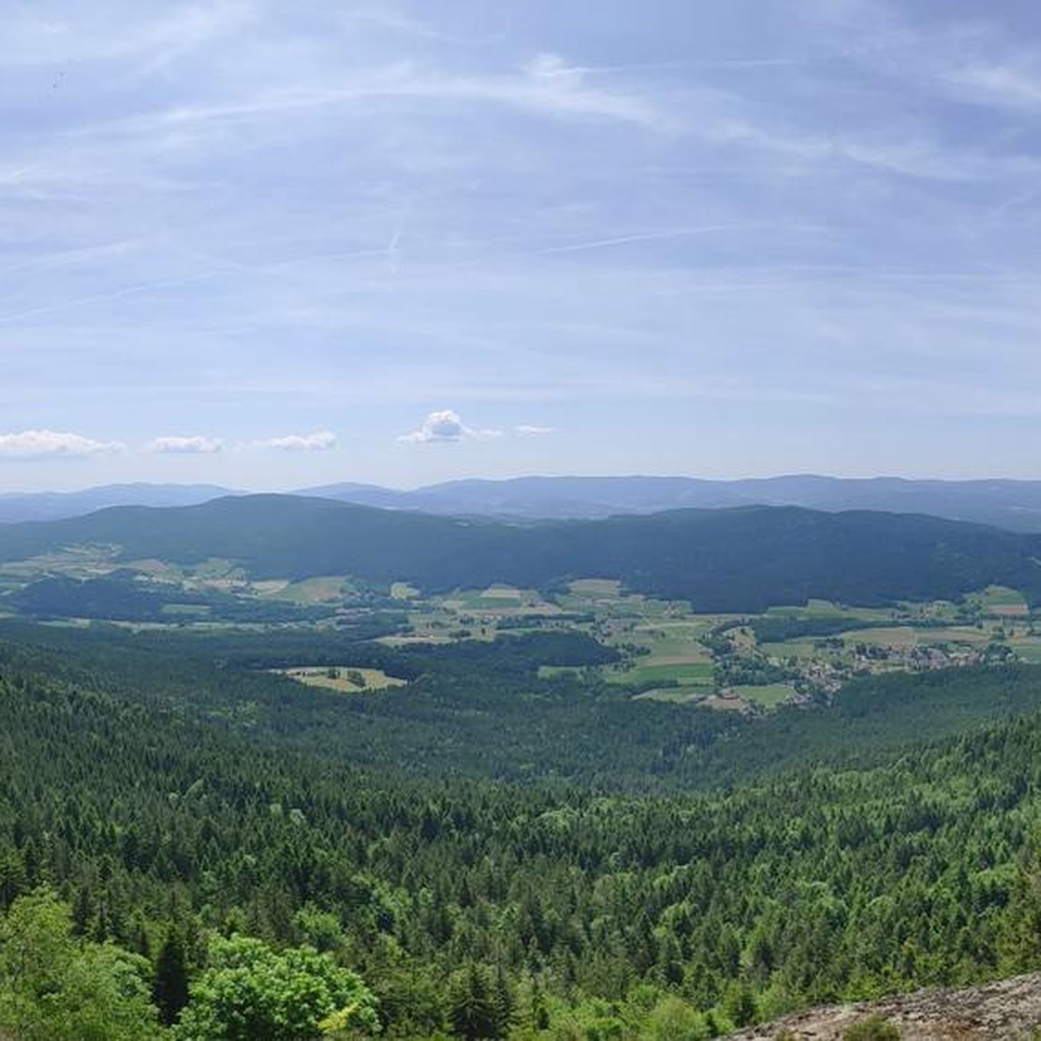
Jogging around Hohenwarth offers a variety of routes through the Bavarian Forest. The region is characterized by forested hills, including summits like Kleiner Arber and Hohenbogen, and features such as the Rauchröhren rock formation. Runners can expect a mix of terrain, from gentle paths to more challenging ascents, providing diverse options for outdoor activity.
Best jogging routes around Hohenwarth
- The most popular jogging route is Rauchröhren rock formation – Kleiner Arber Summit (1,384 m) loop from Hohenwarth Campingplatz, a…
Last updated: October 9, 2026
4.6
(14)
10
runners
6.85km
00:49
220m
220m
Moderate run. Good fitness required. Mostly paved surfaces. Suitable for all skill levels.
4.6
(14)
9
runners
8.05km
01:00
260m
260m
Moderate run. Good fitness required. Mostly paved surfaces. Suitable for all skill levels.

4
runners
Hard run. Good fitness required. Sure-footedness, sturdy shoes and alpine experience required.
9
runners
6.61km
00:42
70m
70m
Moderate run. Good fitness required. Mostly paved surfaces. Suitable for all skill levels.
6
runners
16.0km
02:12
570m
570m
Hard run. Very good fitness required. Sure-footedness, sturdy shoes and alpine experience required.
Get access to more routes and recommendations from other explorers.
Already have an account?
Our route recommendations are based on thousands of hikes, rides, and runs completed by other people on komoot.
Start today with a free account
Your next adventure awaits.
Other adventures around Hohenwarth

Tips from the Community

... always chose the path via the NATO towers ... but this path is really a surprisingly varied alternative ...
0
0

You quickly walk past it because the summit is barely visible.
1
0

Beautiful view of the Drachensee when there is no fog
1
0

A small path from Baierweg leads to Bärenriegel. Unfortunately, it was already "occupied" on Whit Monday
1
0
Nice view. Now quite overgrown
1
0

After a little scrambling you reach the summit of the Bärenriegel 1017m, unfortunately there is no summit cross or view here, but it's still worth it.
7
0
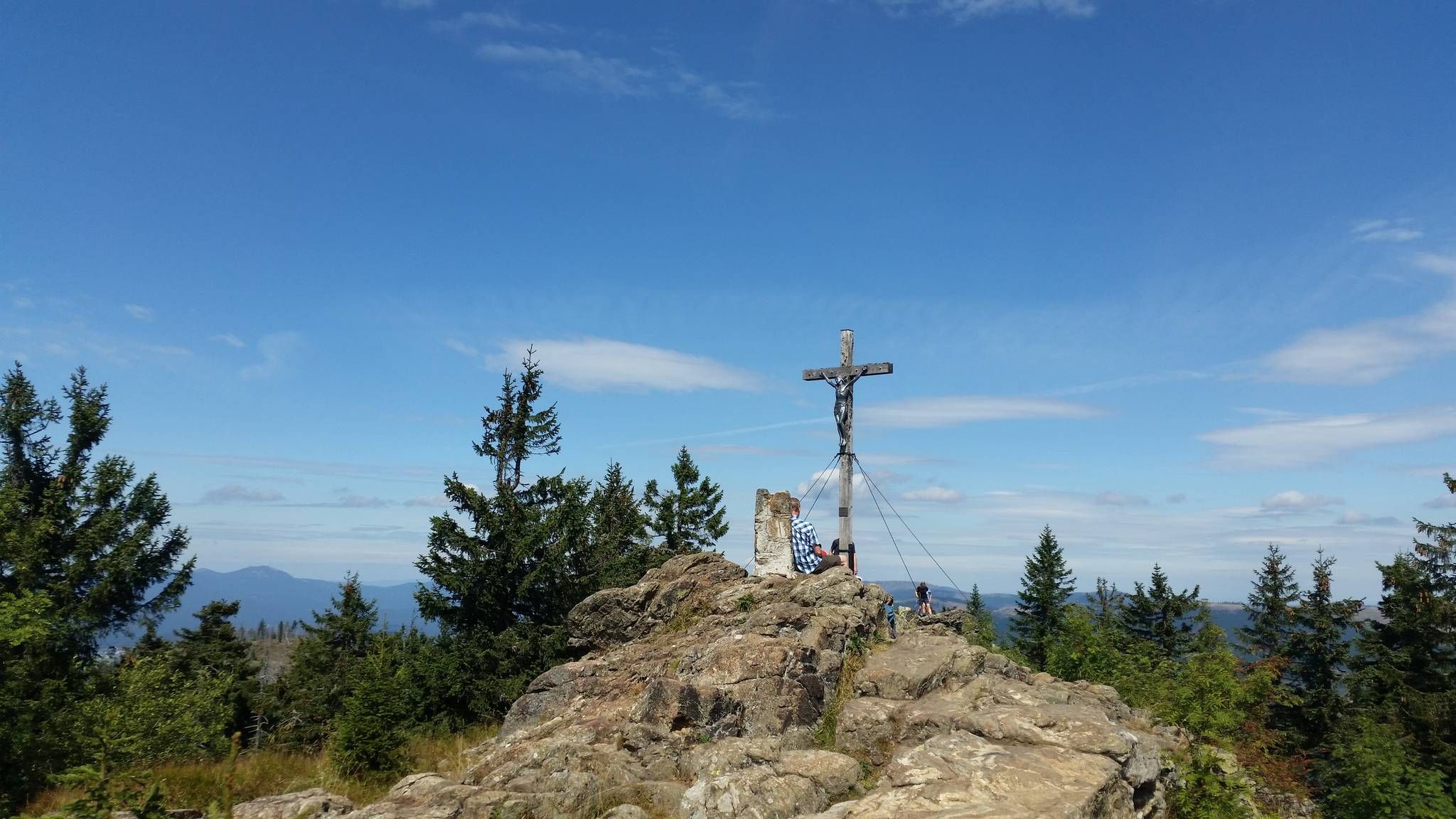
The Eckstein is a 1073m high peak on the Hoher Bogen. From the seating area you have a wonderful view, there is a summit cross with a commemorative plaque, which is somewhat hidden, and some foundations of the former military installations can still be found.
7
0
Beautiful mountain inn with a beautiful terrace, from here you have a great view of the Bavarian Forest. Panorama boards help with orientation. Fair prices, charging station for e-bikes and cell phones, friendly and fast service and a great location right at the mountain station.
6
0
Frequently Asked Questions
How many running routes are available around Hohenwarth?
Hohenwarth offers a wide selection of running routes, with over 250 trails available for exploration. These range from easy paths to more challenging ascents through the Bavarian Forest.
Are there easy jogging routes suitable for beginners in Hohenwarth?
Yes, Hohenwarth has several easy jogging routes perfect for beginners or those looking for a relaxed run. There are 13 routes specifically categorized as easy, providing gentle paths through the scenic landscape.
What do other runners enjoy most about the trails in Hohenwarth?
The running trails around Hohenwarth are highly rated by the komoot community, with an average score of 4.4 stars from over 230 reviews. Runners often praise the diverse terrain, from forested hills to challenging mountain paths, and the overall natural beauty of the Bavarian Forest.
Can I find circular running routes in the Hohenwarth area?
Many of the running routes in Hohenwarth are designed as loops, offering convenient circular options. For example, the Höllhöhe loop from Höllhöhe is a moderate 4.2-mile (6.8 km) path that provides a scenic circular experience.
Are there any family-friendly jogging trails in Hohenwarth?
For families, shorter and less strenuous routes are ideal. Consider options like the Running loop from Hohenwarth, which is a moderate 4.1-mile (6.6 km) trail with minimal elevation gain, making it suitable for a family outing.
What kind of terrain can I expect on the running trails around Hohenwarth?
The terrain around Hohenwarth is quite varied, characterized by forested hills and mountain summits like Kleiner Arber and Hohenbogen. You'll encounter a mix of paths, from gentle forest tracks to more challenging ascents, providing diverse options for all running preferences.
Are there any notable landmarks or viewpoints along the running routes?
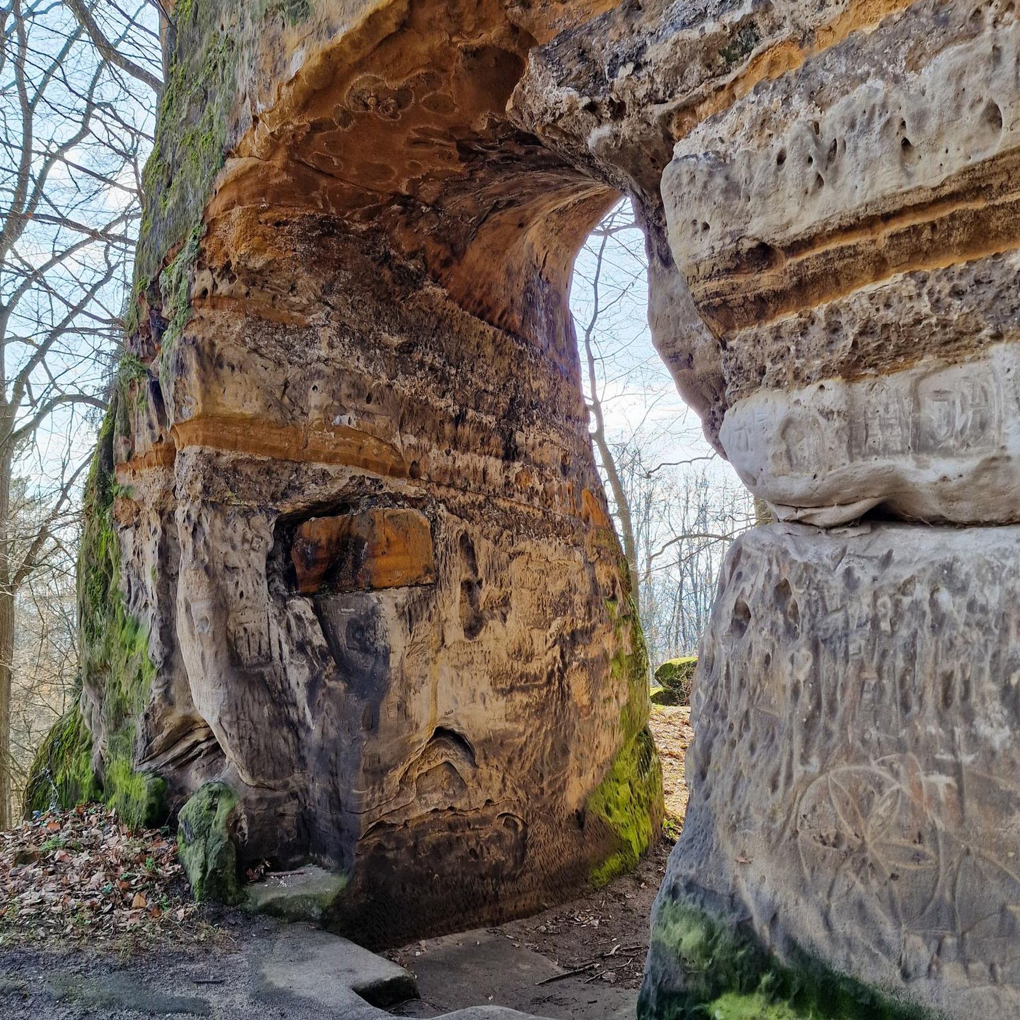
Yes, several routes offer access to interesting landmarks and viewpoints. You might encounter natural formations like the Rauchröhren rock formation, or enjoy panoramic views from spots like the View of the Kötztinger Hütte and the Zellertal from the Kaitersberg ridge. Some trails also lead past summits such as Great Riedelstein.
What is the typical length and duration of running routes in Hohenwarth?
Running routes in Hohenwarth vary significantly in length and duration. You can find shorter loops like the Running loop from Arrach, Feriendorf Hohenbogen, which is 5.0 miles (8.1 km) and takes about an hour. For more challenging runs, there are extensive trails such as the Rauchröhren rock formation – Kleiner Arber Summit loop, spanning 27.9 miles (44.9 km) and requiring several hours to complete.
Are there any challenging running trails for experienced runners?
Absolutely. Hohenwarth offers 72 difficult routes for experienced runners seeking a challenge. An example is the Hohenbogen Mountain Inn – Eckstein Summit loop from Schönblick, a 6.6 km trail with significant elevation gain, providing a demanding workout.
Is Hohenwarth suitable for winter jogging?
While the Bavarian Forest is beautiful in winter, trail conditions can vary greatly with snow and ice. It's advisable to check local weather and trail reports before heading out for winter jogging. Some lower elevation or well-maintained paths might be accessible, but higher, more exposed routes could be challenging.
Are dogs allowed on the jogging trails in Hohenwarth?
Generally, dogs are welcome on many trails in the Bavarian Forest region. However, it's always best to keep them on a leash, especially in nature protection areas or near wildlife. Please be mindful of local regulations and other trail users.
Most popular routes around Hohenwarth
Most popular attractions around Hohenwarth

Get inspired with the komoot mobile app


Explore more
Browse the best Running Trails & Routes in other regions.
