The best mountain hikes around Lohberg
5.0
(40)
209
hikers
19
hikes
Mountaineering routes Lohberg are situated in the Bavarian Forest, at the base of prominent peaks like the Großer Arber and the Osser massif. This region is characterized by its picturesque landscapes, diverse natural features, and magnificent mountain mixed forests. Numerous watercourses and varied terrain contribute to a challenging and rewarding mountaineering experience.
Best mountaineering routes around Lohberg
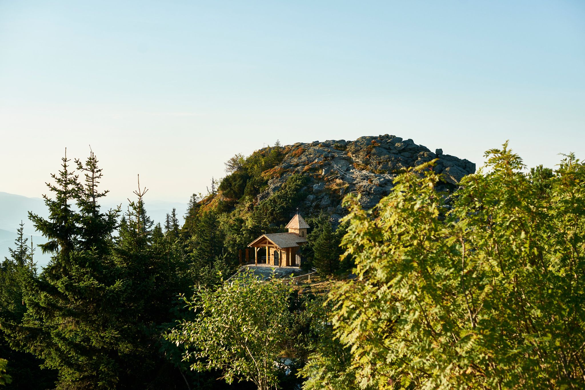
- The most popular mountaineering route is Osser Trail – Künische Chapel on the Osser loop from Lohberg, a 6.0 miles (9.6 km)…
Last updated: October 9, 2026
5.0
(6)
22
hikers
9.60km
03:50
590m
600m
Hard mountaineering route. Good fitness required. Sure-footedness, sturdy shoes and alpine experience required.
5.0
(7)
24
hikers
11.5km
04:22
630m
630m
Hard mountaineering route. Good fitness required. Sure-footedness, sturdy shoes and alpine experience required.

4.7
(7)
37
hikers
7.23km
03:07
530m
530m
Hard mountaineering route. Good fitness required. Sure-footedness, sturdy shoes and alpine experience required.
5.0
(1)
27
hikers
7.59km
03:18
540m
540m
Hard mountaineering route. Good fitness required. Sure-footedness, sturdy shoes and alpine experience required.
5.0
(4)
21
hikers
11.7km
03:47
530m
530m
Moderate mountaineering route. Good fitness required. Mostly accessible paths. Sure-footedness required.
Get access to more routes and recommendations from other explorers.
Already have an account?
Our route recommendations are based on thousands of hikes, rides, and runs completed by other people on komoot.
Start today with a free account
Your next adventure awaits.

Other adventures around Lohberg

Tips from the Community

The striking radar domes on the Großer Arber (also known as Radomes) are the widely visible landmark of the highest mountain in the Bavarian Forest. They house a strategically important military facility of the Bundeswehr for air traffic control.
9
0

Beautiful old boundary stone
2
0

The trail can only be accessed with sturdy footwear, but the panoramic views of the valley are fantastic. It is possible to take a detour to the small Osser.
0
0


Another hut directly below the Arberdschutzhaus.
1
0

The views from the Osserwiese are very beautiful.
0
0
The pieces are very beautifully carved.
0
0
Frequently Asked Questions
What types of mountaineering routes can I find around Lohberg?
Lohberg, nestled in the Bavarian Forest, offers a diverse range of mountaineering routes, primarily focusing on the prominent peaks of the Osser massif and the Großer Arber. You'll find paths ranging from moderate to difficult, characterized by magnificent mountain mixed forests and varied terrain. There are over 20 routes available, with 6 rated as moderate and 16 as difficult.
Are there any family-friendly mountaineering options in the Lohberg area?
While many mountaineering routes around Lohberg are challenging, the region also offers more accessible natural features suitable for families. For a serene experience, the area around the Kleiner Arbersee (Little Arber Lake) provides picturesque, family-friendly hiking trails. While not strictly mountaineering, these trails offer a great way to enjoy the mountain scenery with children.
Can I bring my dog on the mountaineering trails in Lohberg?
Yes, many trails in the Lohberg area are dog-friendly, allowing you to enjoy the beautiful Bavarian Forest with your canine companion. It's always recommended to keep dogs on a leash, especially in nature reserves and near wildlife, and to check specific trail regulations before heading out. The diverse natural landscape provides plenty of opportunities for you and your dog to explore.
What are some of the most scenic mountaineering routes in Lohberg?
Lohberg is renowned for its scenic beauty. Routes leading to the Osser peaks, such as the Osser Trail – Künische Chapel on the Osser loop from Lohberg, offer expansive views. Another highly rated option is the Osser Trail – Great Osser loop from Lam, which provides breathtaking vistas of the surrounding Bavarian Forest landscape.
Are there any circular mountaineering routes around Lohberg?
Yes, Lohberg offers several excellent circular mountaineering routes. A popular choice is the Osser Trail – Summit of the Kleiner Osser loop from Lohberg, which takes you through the stunning Osser massif. Another great option is the Osser Trail – Großer Osser summit loop from Lohberg, providing a comprehensive experience of the area's peaks.
What is the best time of year for mountaineering in Lohberg?
The best time for mountaineering in Lohberg is generally from late spring to early autumn (May to October), when the weather is most favorable and trails are clear of snow. During these months, you can fully appreciate the lush forests and panoramic views. While winter mountaineering is possible, it requires specialized equipment and experience due to snow and ice conditions.
What interesting natural attractions can I see along the mountaineering routes?
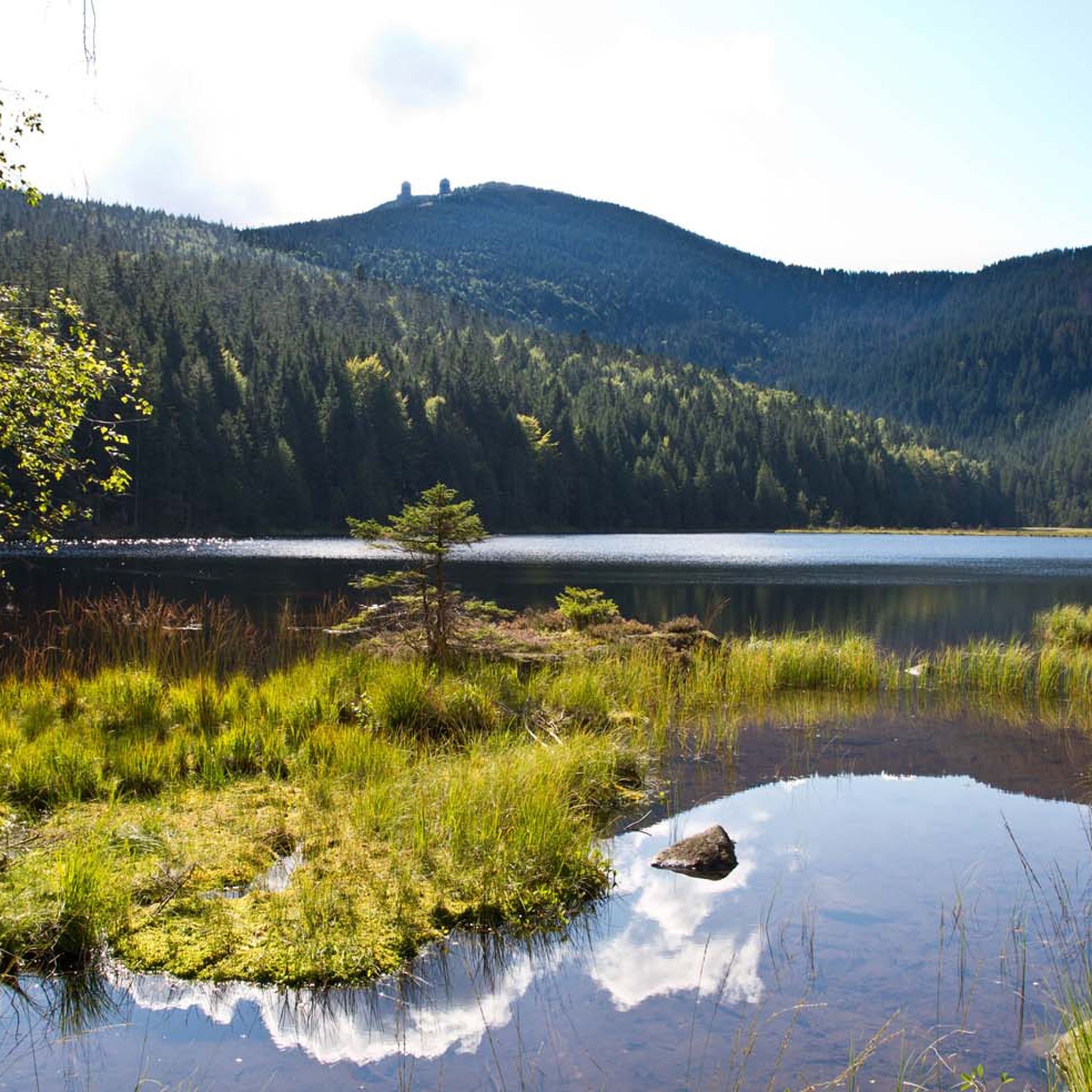
The Lohberg region is rich in natural wonders. Near some routes, you can find the impressive Riesloch Falls, which are the highest waterfalls in the Bavarian Forest, especially spectacular after rain. The area also features the picturesque Kleiner Arbersee and the majestic Großer Arber Summit, offering panoramic views that can extend to the Alps on clear days.
How do other mountaineers rate the routes in Lohberg?
The mountaineering routes in Lohberg are highly regarded by the komoot community, holding an impressive average rating of 4.97 stars from over 30 reviews. Mountaineers frequently praise the challenging yet rewarding ascents, the stunning natural beauty of the Bavarian Forest, and the well-maintained trails leading to prominent peaks like the Osser and Großer Arber.
Are there any moderate difficulty mountaineering routes for those new to the sport?
Yes, while many routes are difficult, Lohberg does offer moderate options suitable for those with some hiking experience looking to venture into mountaineering. For example, the Arber Chapel – Großer Arber Summit loop from Sommerau is a moderate route that allows you to experience the grandeur of the Großer Arber without the extreme challenge of some other trails.
What are the typical elevation gains on mountaineering routes in Lohberg?
Mountaineering routes in Lohberg often involve significant elevation gains, reflecting the region's mountainous terrain. For difficult routes, you can expect ascents ranging from approximately 500 to over 600 meters. For instance, the Osser routes typically feature around 500-600 meters of elevation gain, providing a substantial workout and rewarding views.
Is there public transport available to reach the trailheads in Lohberg?
Lohberg is situated in a region that values sustainable tourism. While specific public transport routes to every trailhead may vary, the area generally has connections that can help you reach various starting points. It's advisable to check local bus schedules or regional transport options for the most up-to-date information on reaching specific trailheads from Lohberg or nearby towns.
Where can I find parking for mountaineering routes in Lohberg?
Parking is generally available at or near the main trailheads and popular starting points for mountaineering routes in Lohberg. Many routes, especially those leading to the Osser and Großer Arber, have designated parking areas. It's always a good idea to check specific route descriptions or local signage for detailed parking information and any potential fees before your trip.
Most popular attractions around Lohberg

Get inspired with the komoot mobile app


Explore more
Browse the best Mountain Hikes & Routes in other regions.
