The best running trails around Capel Curig
4.6
(20)
1,520
runners
65
runs
Jogging around Capel Curig offers access to the diverse landscapes of Eryri (Snowdonia) National Park. The region features majestic mountains like Snowdon and the Glyderau range, alongside picturesque lakes such as Llynnau Mymbyr and Llyn Ogwen. Lush forests, including Gwydyr Forest, and rivers like the Afon Llugwy, provide varied terrain for running. This area is characterized by a network of trails suitable for different levels of experience.
Best jogging routes around Capel Curig
- The most popular jogging route is Carnedd Dafydd & Carnedd Llewelyn loop from the Ogwen Valley, a 12.2 miles (19.7 km) trail that takes 2 hours 50 minutes to complete. This challenging route features significant elevation gain through mountainous terrain.
- Another top favourite among local runners is Moel Siabod from Capel Curig trail running loop, a difficult 7.2 miles (11.5 km) path. This route offers panoramic views of the surrounding Eryri peaks.
- Local runners also love the Cwm Idwal Walk, a 2.6 miles (4.2 km) trail leading through dramatic glacial scenery, often completed in about 28 minutes.
- Jogging around Capel Curig is defined by majestic mountains, picturesque lakes, and lush forests. The network offers options for various ability levels, from moderate paths to challenging trail runs.
- The routes in Capel Curig are highly rated by the komoot community with an average score of 4.3 stars from more than 15 reviews. More than 1600 runners have used komoot to explore Capel Curig's varied terrain.
Last updated: September 26, 2026
4.8
(4)
178
runners
19.7km
02:50
930m
930m
Embark on a difficult jogging adventure through the Carneddau range with the Carnedd Dafydd & Carnedd Llewelyn loop. This challenging route covers 12.2 miles (19.7 km) and ascends a substantial 3050 feet (930 metres), providing a rigorous workout amidst stunning mountain scenery. You will navigate varied terrain, from rocky sections to open fells, experiencing the raw beauty of Snowdonia. Plan for approximately 2 hours and 50 minutes to complete this demanding journey, with rewarding panoramic views from the high peaks.
Before you set out, be aware that this route is rated difficult due to its significant elevation gain and diverse ground underfoot, including loose scree and some scrambles. The weather in Snowdonia can change very quickly; prepare for strong winds, rain, or fog, which can make conditions even tougher. Parking is conveniently available at the Ogwen Visitor Centre and Snack Bar, which also serves as the starting point for your loop.
This trail offers a genuine mountain experience, often feeling less crowded than other popular peaks in Snowdonia, allowing for a more solitary connection with nature. As you ascend, you will pass by the shimmering waters of Ffynnon Lloer, a beautiful mountain lake nestled in a cwm. The route provides exhilarating ridge walks and expansive vistas over the Glyderau and Tryfan, showcasing the dramatic geological features that define this part of Wales.
5.0
(3)
115
runners
This difficult 9.2-mile (14.8 km) loop, with its 2978 feet (908 metres) of elevation gain, typically takes around 2 hours and 16 minutes for experienced joggers. You will encounter varied and strenuous terrain, including stony ground, rocky sections, and steep ascents and descents. The route offers spectacular panoramic views across northern Snowdonia, allowing you to see the majestic Glyderau and Tryfan ranges, as well as views stretching to Anglesey. You will also pass above the impressive cliffs of the formidable Ysgolion Duon, known as the Black Ladders.
This trail is highly challenging and is only suitable for experienced mountain runners. You will need very good fitness, sure-footedness, sturdy shoes, and alpine experience to complete it. Route-finding can be difficult, especially if fog rolls in, and poor visibility can significantly increase the challenge and risk. Be prepared for scrambling sections, particularly on the initial climb up Pen yr Ole Wen.
The loop is notable for encompassing Carnedd Llewelyn, the second highest peak in Wales, and Carnedd Dafydd, the third highest. It offers a more solitary mountain experience compared to the often-crowded Snowdon, allowing for a deeper immersion in the wild mountain landscape. The route is part of the "High Carneddau," which forms the largest area of high ground in England and Wales, providing vistas of deep cwms and lakes like Ffynnon Lloer.

5.0
(1)
89
runners
11.5km
01:59
700m
700m
Lace up for a challenging jogging adventure on the Moel Siabod from Capel Curig loop, a difficult route covering 7.2 miles (11.5 km) with a significant 2295 feet (700 metres) of elevation gain. You can expect to complete this in around 1 hour and 59 minutes. As you ascend, you will encounter varied terrain, from rocky paths to grassy slopes, sometimes boggy near the tarns. The highlight is reaching the Moel Siabod summit, where on a clear day, you are rewarded with panoramic views of 13 of Wales's highest peaks, including the famous Snowdon horseshoe.
Capel Curig is your convenient starting point for this route, offering essential amenities like pubs, cafes, and outdoor shops. You will find parking available in the village, and public transport, including the Snowdon Sherpa buses, also serves the area. The Moel Siabod Cafe is a popular spot for trail runners, with many routes beginning nearby, making it easy to grab a refreshment before or after your run.
This route offers a superb alternative to some of the more crowded peaks in Snowdonia National Park, providing consistently excellent views without the usual hustle. Along the way, you will pass picturesque mountain lakes such as Llyn y Foel and catch glimpses of old miners' huts, adding a touch of history to the dramatic landscape. It is a rewarding experience for those seeking a strenuous but scenic jogging challenge.
5.0
(1)
49
runners
Embark on the Y Garn to Glyder Fach trail running loop, a difficult 7.2-mile (11.5 km) adventure in Snowdonia National Park that promises spectacular views and challenging terrain. This route, which typically takes around 2 hours and 19 minutes to complete, features a significant elevation gain of 3066 feet (934 metres). You will navigate rocky and bouldery paths, steep ascents and descents, and even sections requiring scrambling, especially around the summits of Glyder Fawr and Glyder Fach. Look out for the famous Cantilever Stone and the striking Castell y Gwynt, which add to the unique, other-worldly rock formations you will encounter. The dramatic vistas include prominent peaks like Tryfan and the majestic Snowdon Massif.
Given the technical nature of this difficult trail, proper preparation is essential. The path is not generally suitable for continuous jogging due to its varied surfaces, including scree and potentially boggy ground, and sections where hands may be needed. Always check weather forecasts before you go, as conditions can change rapidly in the mountains. Experience in navigation is crucial, especially if visibility is low, to safely traverse the less defined sections of the route. Ensure you have appropriate footwear and are comfortable with strenuous effort and sure-footedness on challenging terrain.
This trail is highly notable for traversing three iconic peaks of the Glyderau range: Y Garn, Glyder Fawr, and Glyder Fach, offering a comprehensive experience of this celebrated mountain area. It showcases some of Snowdonia's most dramatic landscapes, from glacial cwms to craggy ridges. While demanding, the route is incredibly rewarding, providing 360-degree panoramic views of the surrounding mountains, including Wales' highest peak, Yr Wyddfa (Snowdon). The diverse terrain, ranging from well-trodden paths to rocky scrambles, makes it a true mountain adventure for those seeking a challenge.
40
runners
4.24km
00:29
110m
110m
Embark on the Cwm Idwal Walk, a moderate jogging route that takes you through a dramatic glacial valley. This 2.6-mile (4.2 km) loop features 349 feet (107 metres) of elevation gain, offering a quick yet rewarding experience. You can expect to complete it in about 28 minutes, surrounded by towering cliffs and the clear waters of Llyn Idwal. Keep an eye out for the impressive Idwal Slabs and the cascading waterfalls, including the famous Devil's Kitchen. The terrain is varied, with uneven surfaces and some loose rock, adding to the adventure.
The Cwm Idwal Walk begins at the Ogwen Visitor Centre, where you'll find convenient parking to start your journey. This makes access straightforward, allowing you to quickly hit the trail. While the route is officially moderate, be prepared for varied terrain that includes uneven surfaces and potentially boggy sections. Sturdy footwear is highly recommended to ensure a comfortable and safe jog through this scenic area.
This route offers a unique opportunity to jog through a classic glacial landscape within Eryri National Park. The valley's formation by ancient glaciers has left behind a distinctive, otherworldly environment. You'll witness geological features that tell a story of ice and erosion, making it a fascinating experience beyond just the physical challenge. It's a prime example of the natural beauty and geological history found in this part of Wales.
Get access to more routes and recommendations from other explorers.
Already have an account?
Our route recommendations are based on thousands of hikes, rides, and runs completed by other people on komoot.
Start today with a free account
Your next adventure awaits.
Popular around Capel Curig
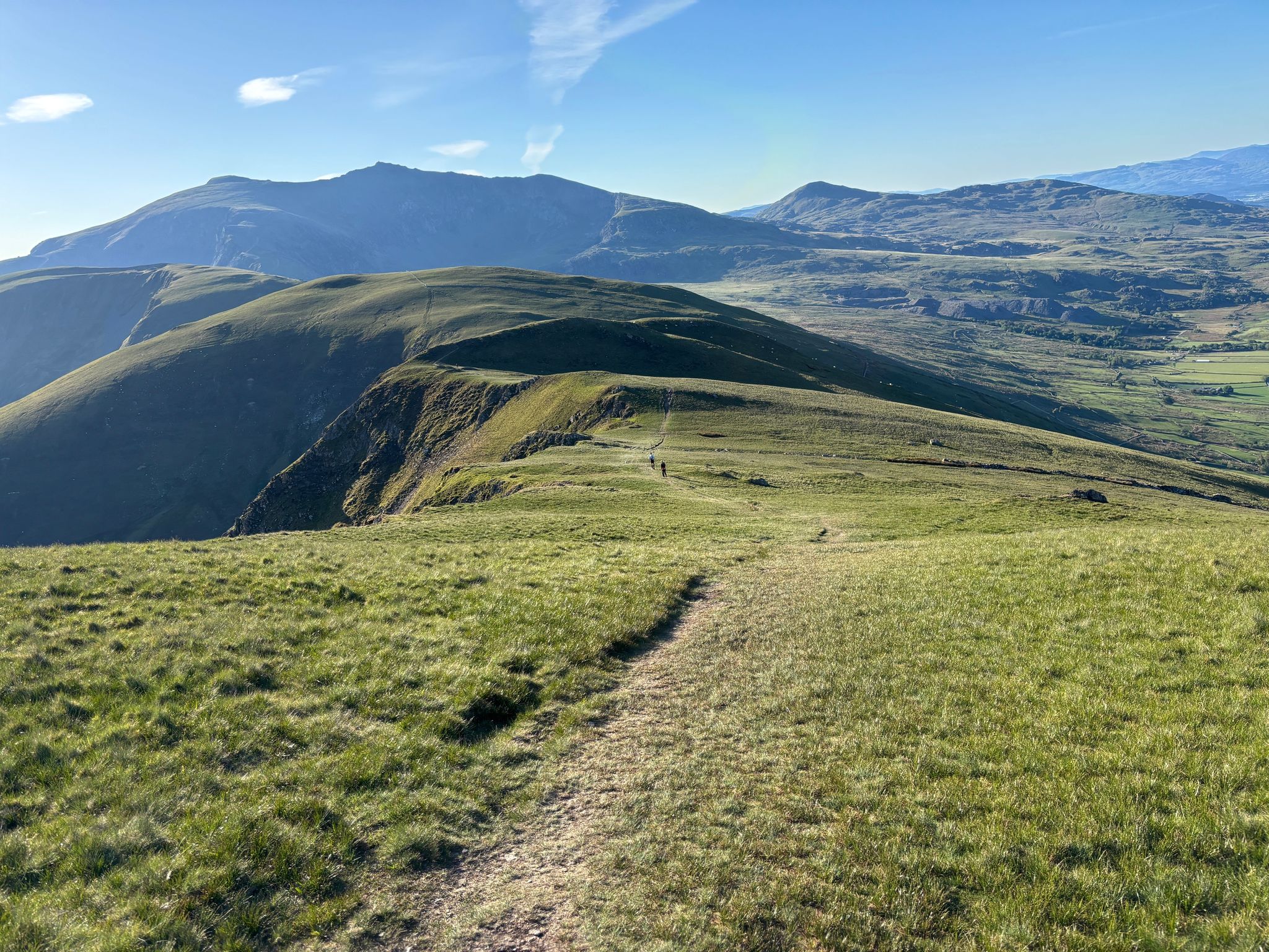
Ultra Trail Snowdonia by UTMB – 100 epic miles in Eryri
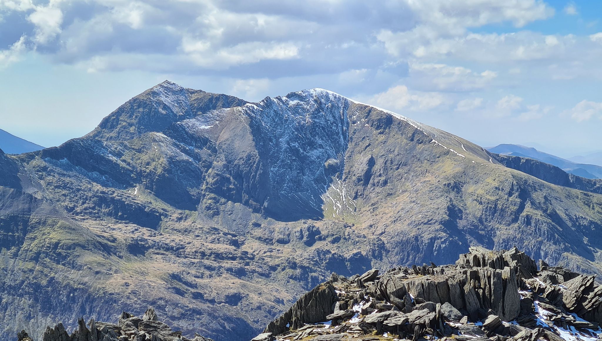
Snowdonia Way Mountain Route – Rise to Eryri's awesome summits

O Fon i Fynwy — Exploring Wales on foot from top to bottom
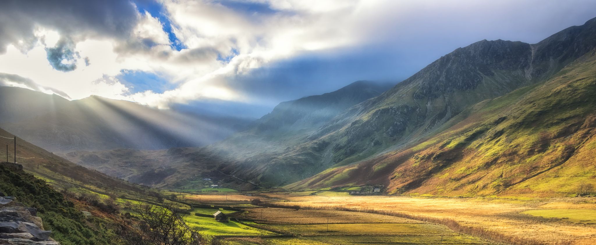
Snowdonia Slate Trail — Unearth one of Wales' most spectacular hikes
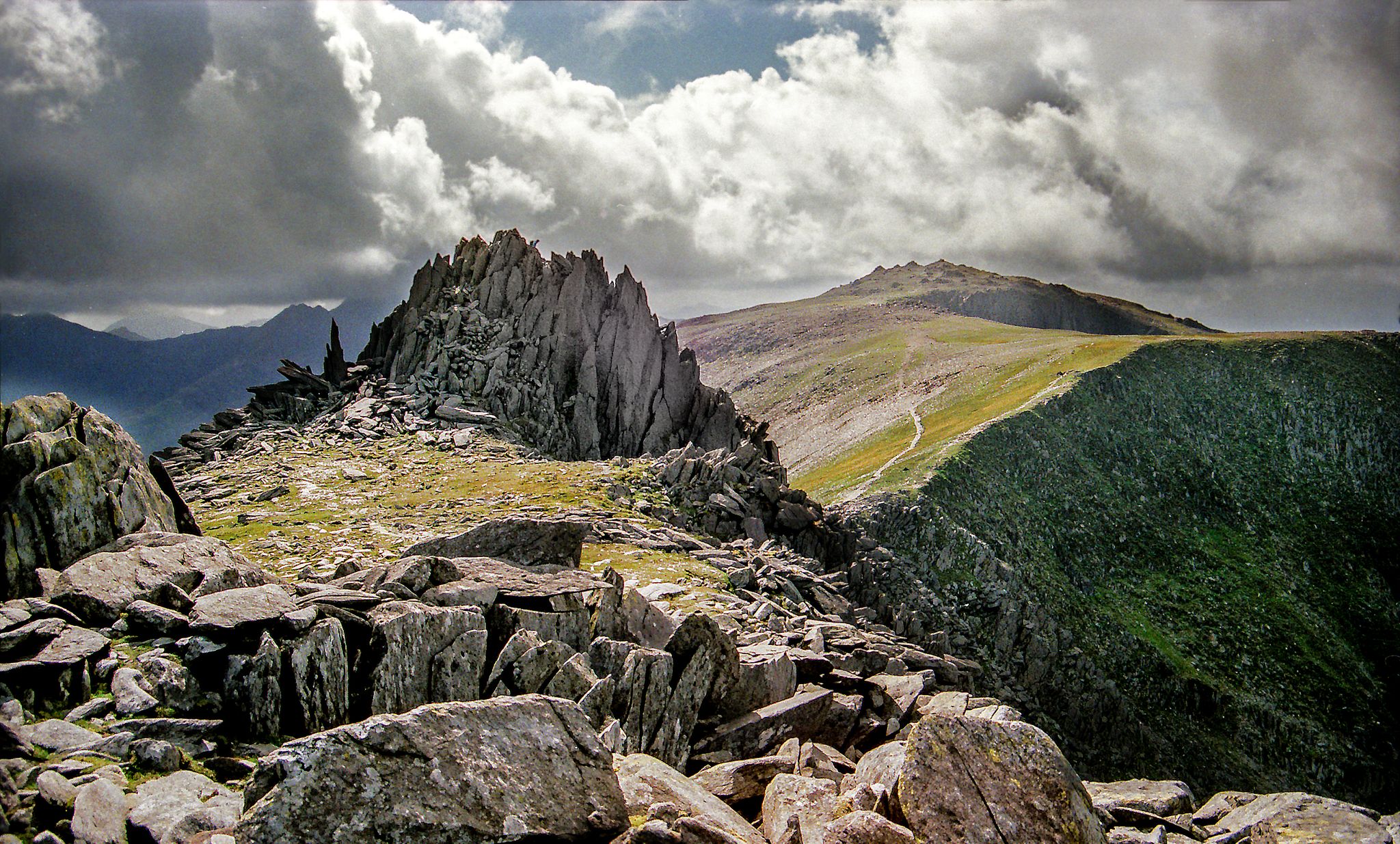
Hiking the Paddy Buckley Round — An epic Snowdonian adventure
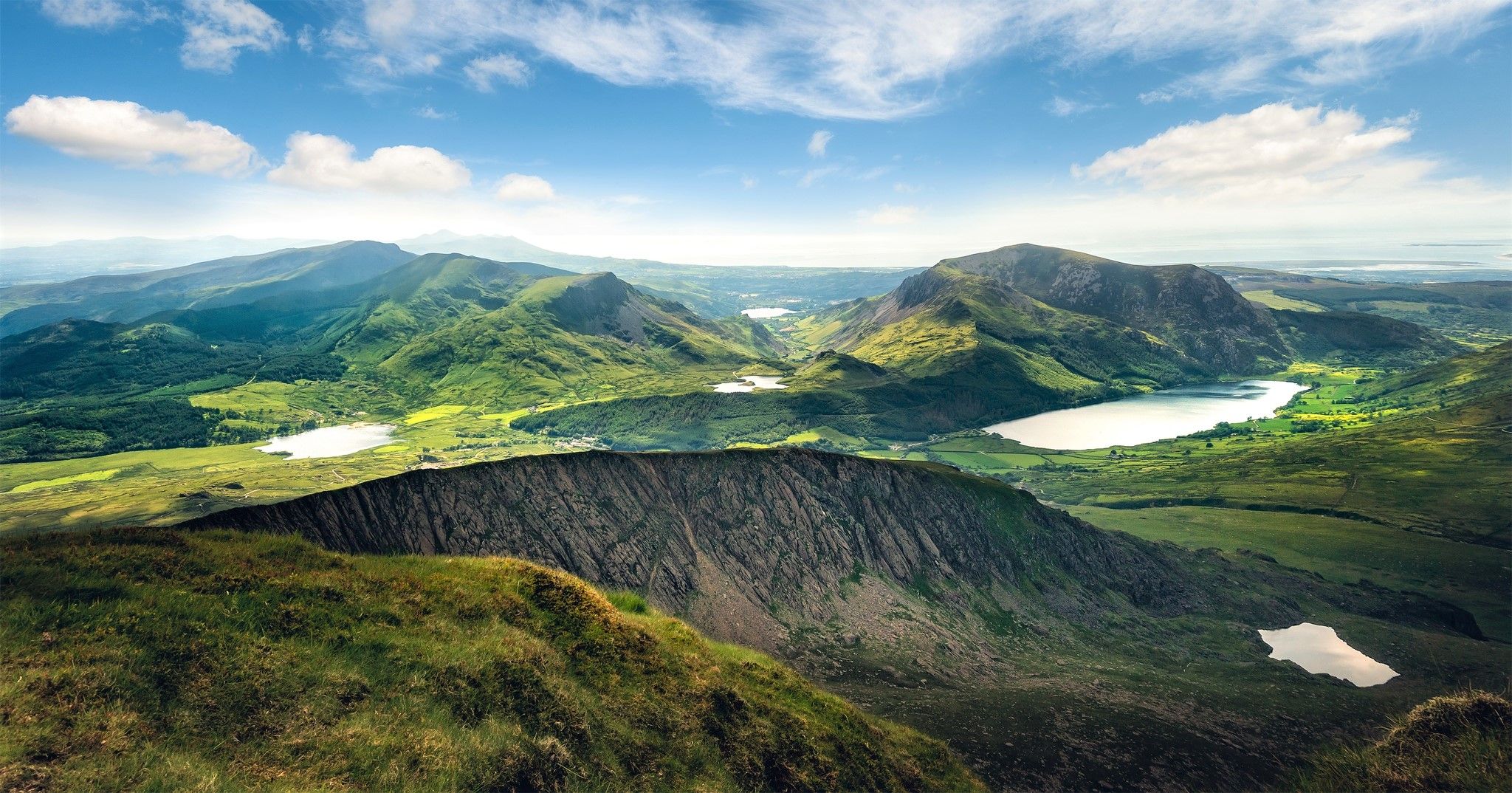
Cambrian Way — Hike the highest, wildest and most beautiful trail in Wales
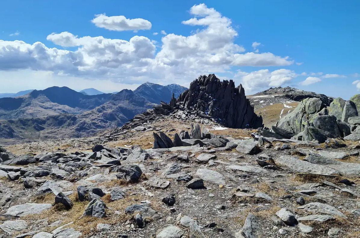
Welsh 3000s — Eryri's (Snowdonia's) spectacular hiking challenge
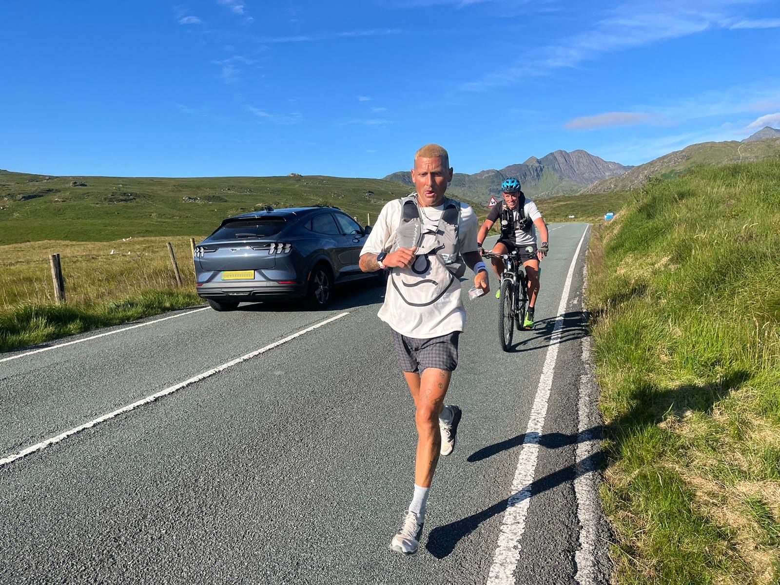
Supporting the National Three Peaks FKT in true Green Runners’ Style
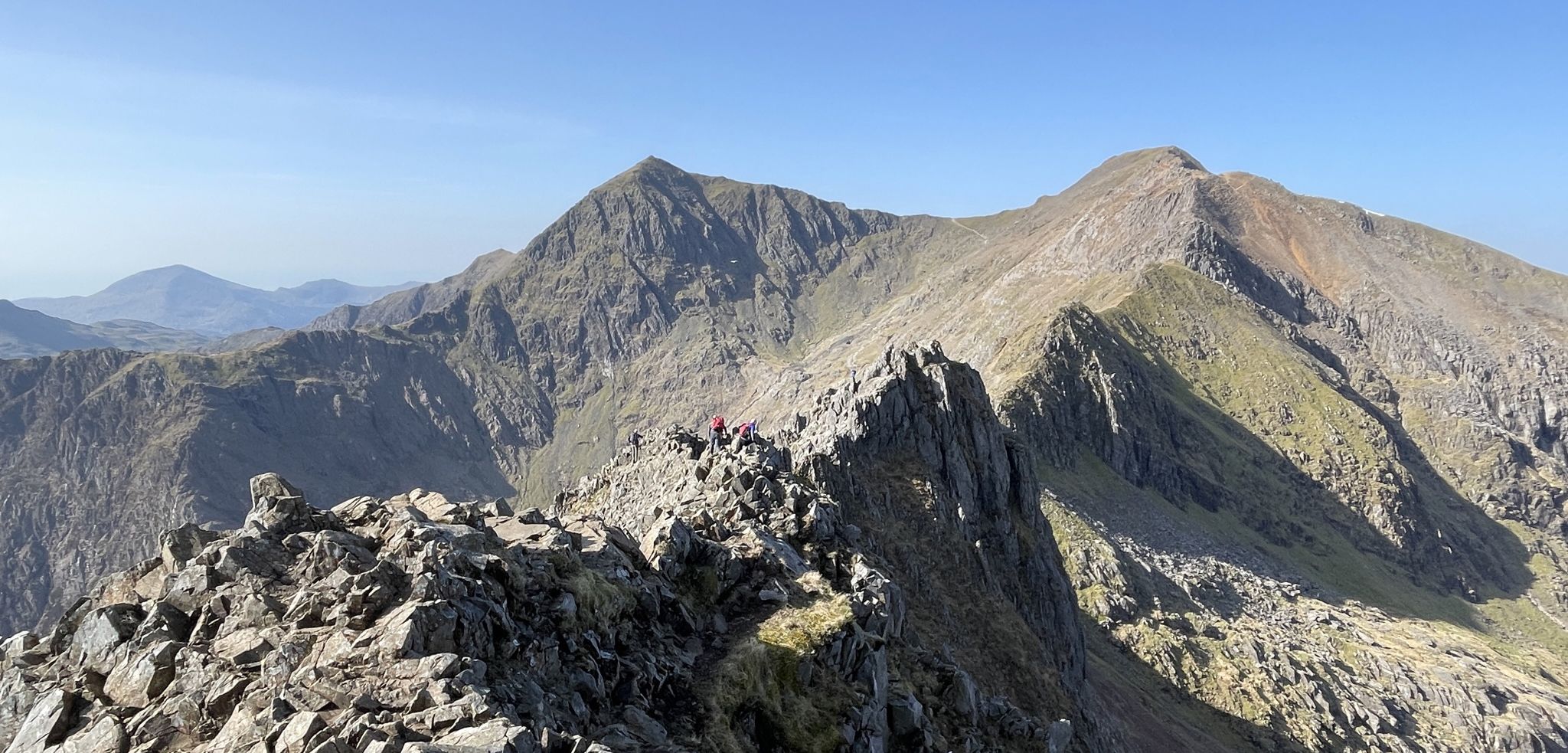
Sublime Ridges and Superb Rock – Awesome British Scrambles
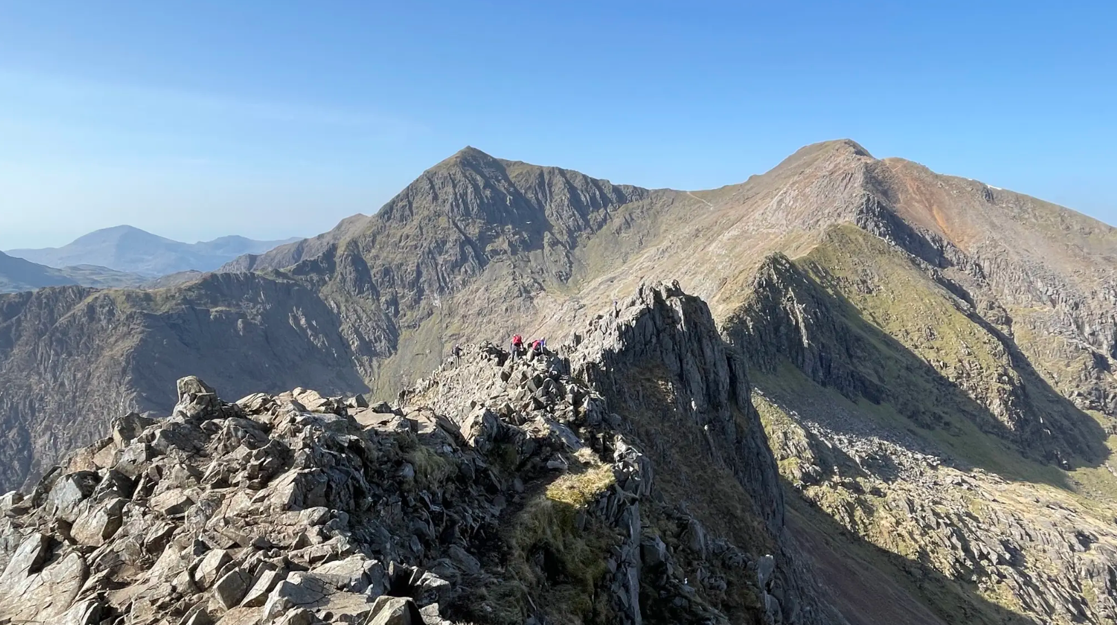
The rugged charm of Northern Eryri (Snowdonia)
Other adventures around Capel Curig


Tips from the Community

A very fine mountain that is the high point of the Carneddau range. These mountains are high, remote and so much quieter than the Glyderau or Snowdon. Fabulous walking country.
0
0
A wonderful spiky summit with fine views to Yr Wyddfa and into Ogwen Valley. The summit itself is a scramble over very large jumbled boulders.
0
0
Y Garn is a fine hill, usually climbed from Ogwen Valley by it's West ridge, or as part of the walk along the Glyders range between Elidir Fawr and the Glyders themselves. There is however another way up, the East Ridge, which is a Grade 2 scramble and starts from Llyn Idwal.
0
0
A high mountain with reasonable length walk-ins. Good scrambling route on it's north side that gives fine views of the 'Balck Ladders' cliff face.
0
0
A meeting of the ways as well as the col between Tryfan and Glyder Fach
0
0
The high pass between Tryfan and Glyder Fach is also a crossroads for a number of paths - down to the Ogwen valley, but also up to Tryfan and to Glyder Fach via the Bristly Ridge or the bypass route.
0
0
Frequently Asked Questions
How many running routes are available in Capel Curig?
Capel Curig offers a wide selection of running routes, with over 60 trails available for exploration. These routes cater to various preferences, ranging from easy jogs to challenging mountain runs.
What kind of scenery can I expect on jogging routes around Capel Curig?
Jogging around Capel Curig provides access to the diverse landscapes of Eryri (Snowdonia) National Park. You can expect majestic mountains like Snowdon and the Glyderau range, picturesque lakes such as Llynnau Mymbyr and Llyn Ogwen, and lush forests like Gwydyr Forest. The area also features rivers like the Afon Llugwy and natural attractions such as the nearby Swallow Falls.
Are there running routes suitable for beginners in Capel Curig?
Yes, Capel Curig offers several routes suitable for beginners. There are at least 3 easy routes and 16 moderate routes. A good option for those looking for a less strenuous run is the Cwm Idwal Walk, a 2.6-mile trail through dramatic glacial scenery.
What are some challenging running trails in Capel Curig?
For experienced trail runners seeking a challenge, Capel Curig has numerous difficult routes, with nearly 50 available. Notable challenging options include the Carnedd Dafydd & Carnedd Llewelyn loop from the Ogwen Valley, a 12.2-mile trail with significant elevation, and the Moel Siabod from Capel Curig trail running loop, an 11.5 km path offering panoramic views.
Are there any notable landmarks or natural features to see while running?
Absolutely! Many routes offer stunning views and pass by significant landmarks. You might encounter majestic peaks like Snowdon Summit (Yr Wyddfa), Glyder Fach summit, or Moel Siabod summit. The area is also rich in historical sites, such as the Ruins of the Britannia Copper Mine at Llyn Llydaw or Dolbadarn Castle.
Are the jogging routes in Capel Curig dog-friendly?
Many trails within Eryri (Snowdonia) National Park are dog-friendly, provided dogs are kept under control, typically on a lead, to protect livestock and wildlife. It's always best to check specific route details or local signage for any restrictions, especially in lambing season or sensitive ecological areas. Generally, the diverse network of trails offers plenty of options for running with your canine companion.
Can I find circular running routes in Capel Curig?
Yes, many of the running routes around Capel Curig are designed as loops, allowing you to start and finish in the same location. This includes popular options like the Moel Siabod trail running loop and the Y Garn to Glyder Fach trail running loop, which offer varied terrain and stunning views.
What do other runners enjoy most about jogging in Capel Curig?
The running routes in Capel Curig are highly rated by the komoot community, with an average score of 4.3 stars from over 15 reviews. Runners frequently praise the area's stunning and diverse landscapes, the variety of trails suitable for all abilities, and the breathtaking views of the Eryri peaks and picturesque lakes. The true trail running experience, with a mix of forest tracks, rocky paths, and even some boggy ground, is also a highlight.
Is public transport available to access running trails in Capel Curig?
Capel Curig is situated within Eryri (Snowdonia) National Park, and while some bus services operate in the region, direct access to all trailheads via public transport can be limited. It's advisable to check local bus timetables for routes connecting to Capel Curig and nearby valleys like Ogwen Valley or Llanberis Pass, which serve as starting points for many runs. Planning ahead is recommended if relying on public transport.
Are there any running routes that feature waterfalls?
While specific routes aren't highlighted as 'waterfall runs', the region is home to the beautiful Swallow Falls, where the River Llugwy cascades through a narrow chasm. Some local trails may pass near or offer views of this natural attraction, providing a scenic reward during your run. You might find routes along the Afon Llugwy that offer glimpses of smaller cascades.
What is the terrain like on the running trails around Capel Curig?
The terrain around Capel Curig is incredibly diverse, offering a true trail running experience. You'll encounter a mix of forest tracks, rocky paths, some tarmac sections, and even areas of boggy ground, particularly after rain or in higher elevations. This variety provides both a physical challenge and a constantly changing scenic backdrop for your run.
Most popular routes around Capel Curig
Most popular attractions around Capel Curig

Get inspired with the komoot mobile app


Explore more
Browse the best Running Trails & Routes in other regions.
