The best running trails around Brennberg
4.6
(98)
1,391
runners
14
runs
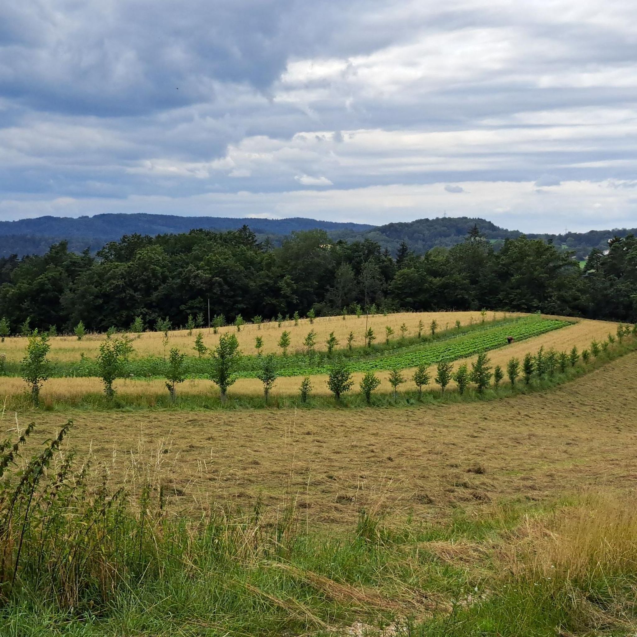
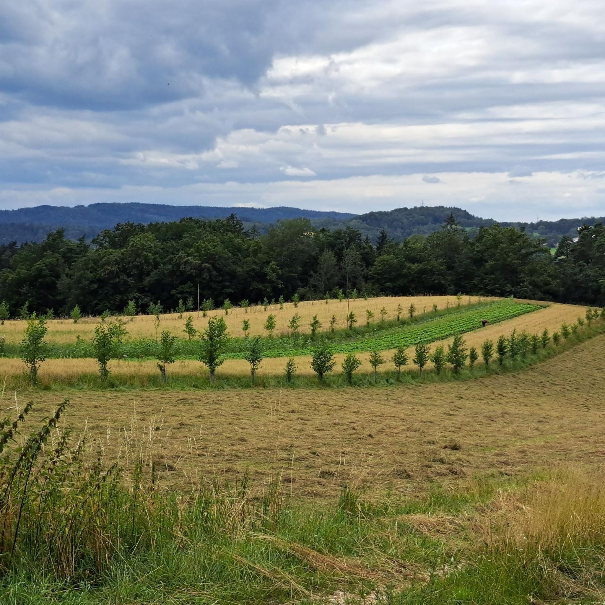
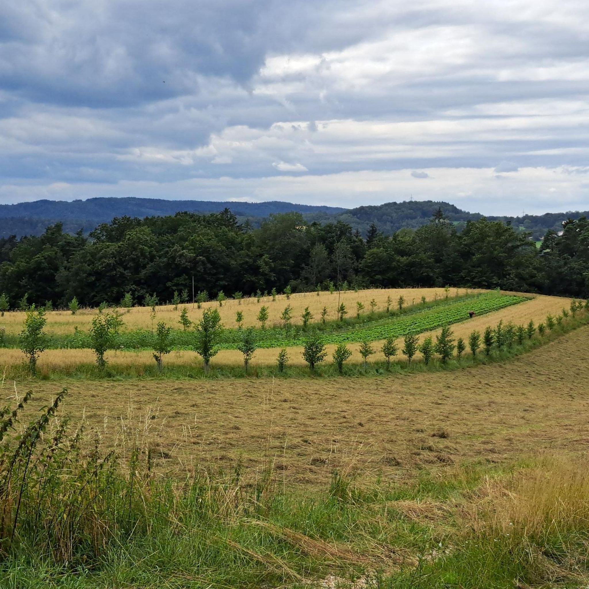
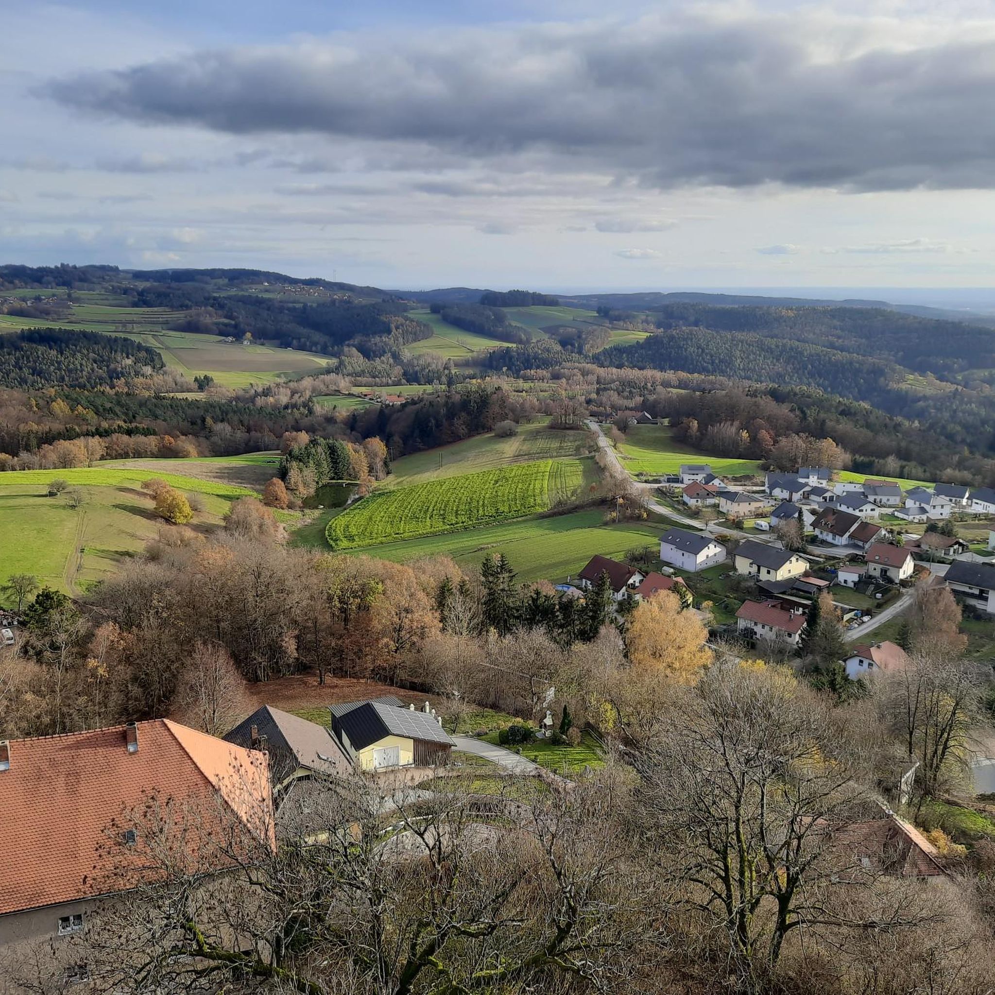
Jogging around Brennberg offers diverse landscapes at the foot of the Bavarian Forest, featuring extensive woodlands and varied topography. The region is characterized by charming hills, dense forests, and flowing rivers, providing a scenic backdrop for running. Notable natural features include the wild Höllbach Valley nature reserve, where the Höllbach stream carves through granite and gneiss blocks. Trails often wind through green meadows and idyllic river valleys, with elevations contributing to varied and engaging running routes.
Best jogging routes around…
Last updated: July 5, 2026
20
runners
10.2km
01:14
220m
220m
Hard run. Good fitness required. Sure-footedness, sturdy shoes and alpine experience required.
5.0
(2)
15
runners
24.2km
02:46
520m
520m
Hard run. Very good fitness required. Mostly paved surfaces. Suitable for all skill levels.

Sign up for free
13
runners
24.1km
02:36
300m
300m
Hard run. Very good fitness required. Mostly paved surfaces. Suitable for all skill levels.
5.0
(1)
9
runners
27.5km
03:12
560m
560m
Hard run. Very good fitness required. Sure-footedness, sturdy shoes and alpine experience required.
13
runners
8.52km
01:02
150m
150m
Hard run. Good fitness required. Sure-footedness, sturdy shoes and alpine experience required.
Get access to more routes and recommendations from other explorers.
Sign up for free
Already have an account?
Our route recommendations are based on thousands of hikes, rides, and runs completed by other people on komoot.
Start today with a free account
Your next adventure awaits.
Login or Signup

Other adventures around Brennberg

Tips from the Community

The Höllbachschlucht with its rock formations and block sea is a designated geotop Along the Höllbach, which here overcomes about 40 meters of altitude over a short distance with a relatively steep gradient, an impressive block sea stretches out, with blocks up to 5 m in diameter. The rounding of the blocks is not due to the river, however, but is the result of weathering: "wollsack-weathered" granite rocks were decomposed into individual "wool sacks" in the Pleistocene. The granite gravel was washed out, the blocks remained more or less in place. Bayerisches Landesamt für Umwelt (LfU). https://www.umweltatlas.bayern.de/standortauskunft/rest/reporting/sb_geotope/generate?additionallayerfieldvalue=372R070 https://de.wikipedia.org/wiki/Naturschutzgebiet_H%C3%B6lle_(Oberpfalz)#Geologie
0
0

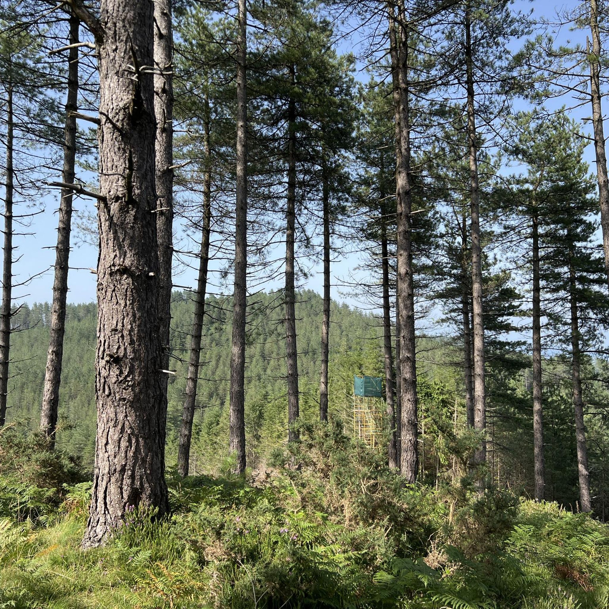
This spot at the edge of the forest is ideal for taking a short break; occasionally a deer even wanders by in the meadows.
0
0
Very beautiful chapel in the woods, very well-maintained and lovely
0
0

Very nice, a great place for a short and quiet rest!
0
0

Simply wonderful when you see what artistic abilities nature has
0
1

it's a dream here
0
1

All around, on all access roads, there is terrible gravel, which is neither inviting for cycling nor running😫
0
0
Frequently Asked Questions
How many running routes are available in Brennberg?
Brennberg offers a wide selection of running routes, with over 15 trails documented on komoot. These routes cater to various preferences, from moderate paths to more challenging runs with significant elevation gain.
Are there any easy running routes suitable for beginners in Brennberg?
While many routes in Brennberg are rated as moderate to difficult due to the hilly terrain, the region does offer paths that can be enjoyed by beginners. For example, the Höllbach Wooden Bridge – Höllbachtal Trail loop from Brennberg, though rated difficult, is a popular choice that explores the scenic Höllbach Valley and can be adapted for a more leisurely pace. The 'Circular route through the Hölle' mentioned in regional research is also noted as an easy option.
What natural features can I expect to see along the running routes in Brennberg?
Brennberg's running routes are rich in natural beauty. You can expect to encounter dense forests, charming hills, and idyllic river valleys. A significant highlight is the 'Hölle' nature reserve, also known as Höllbach Valley, where the Höllbach stream carves its way through impressive granite and gneiss blocks. Routes often wind past natural monuments like the Hölltal Rock Formations and the serene Höllbach Stream and Boulder Landscape.
Are there any circular running routes in Brennberg?
Yes, Brennberg features numerous circular paths perfect for running. Many routes are designed as loops, allowing you to start and finish at the same point. A popular example is the Höllbach Wooden Bridge – Höllbachtal Trail loop from Brennberg, which takes you through the scenic Höllbach Valley.
What kind of historical or cultural landmarks can I discover while running in Brennberg?
Brennberg offers a blend of natural beauty and historical sites. You can incorporate a visit to the 12th-century Brennberg Castle ruins, which provide panoramic views, into your run. The 'Brennberger Burgensteig' (castle trail) also guides visitors to various castle ruins, allowing for runs that combine physical activity with historical exploration. The St. Wolfgang Chapel – Wayside Cross Near Osenhof loop from Brennberg also passes historical points of interest.
When is the best time of year to go running in Brennberg?
Brennberg is beautiful year-round, but the Bavarian Forest is especially stunning in autumn when the foliage transforms into vibrant colors, making it an ideal time for running. Spring and summer also offer pleasant conditions with lush greenery, while winter can provide a unique experience with snow-covered landscapes, though some trails might be more challenging.
What do other runners enjoy most about the trails in Brennberg?
The running routes in Brennberg are highly rated by the komoot community, with an average score of 4.6 stars from over 89 reviews. Runners often praise the diverse landscapes, from dense forests and charming hills to scenic river valleys, and the varied terrain that offers options for different ability levels. The natural beauty of areas like the Höllbach Valley is frequently highlighted.
Are there any running routes that follow rivers or streams?
Absolutely. Brennberg's landscape is characterized by flowing rivers and streams. The Wiesent River in Wiesent loop from Brennberg is a challenging route that follows the Wiesent River, offering varied terrain and open views. Additionally, the Höllbach stream is a prominent feature in the 'Hölle' nature reserve, with paths winding alongside it.
Are there any viewpoints along the running trails in Brennberg?
Yes, several routes offer rewarding viewpoints. The Brennberg Castle ruins, for instance, provide panoramic views of the surrounding landscape. While running, you might also encounter specific spots like the View of the Walhalla, offering picturesque vistas.
Are there any particularly challenging running routes in Brennberg for experienced runners?
For experienced runners seeking a challenge, Brennberg offers several difficult routes with significant elevation gain. The Junfernhöhe – Tannerl Pilgrimage Chapel loop from Brennberg is a demanding 27.5 km (17.1 miles) route with over 550 meters of elevation gain. Another challenging option is the Wiesent River in Wiesent loop from Brennberg, a 24.2 km (15.0 miles) path with over 520 meters of ascent.
Can I find running routes that are part of longer-distance trails?
Yes, Brennberg is integrated into the wider network of the Bavarian Forest. Several sections and connectors of the well-known Goldsteig long-distance hiking trail pass through the area. These include routes like the 'Goldsteig S12 Falkenstein - Fahnmühle' and the 'Goldsteig Connector 26A: Brennberg - Wiesent', offering opportunities to experience parts of these extensive trails.
Most popular routes around Brennberg
Most popular attractions around Brennberg

Get inspired with the komoot mobile app


Explore more
Browse the best Running Trails & Routes in other regions.
