The best mountain hikes around Nittendorf
4.8
(4)
19
hikers
4
hikes
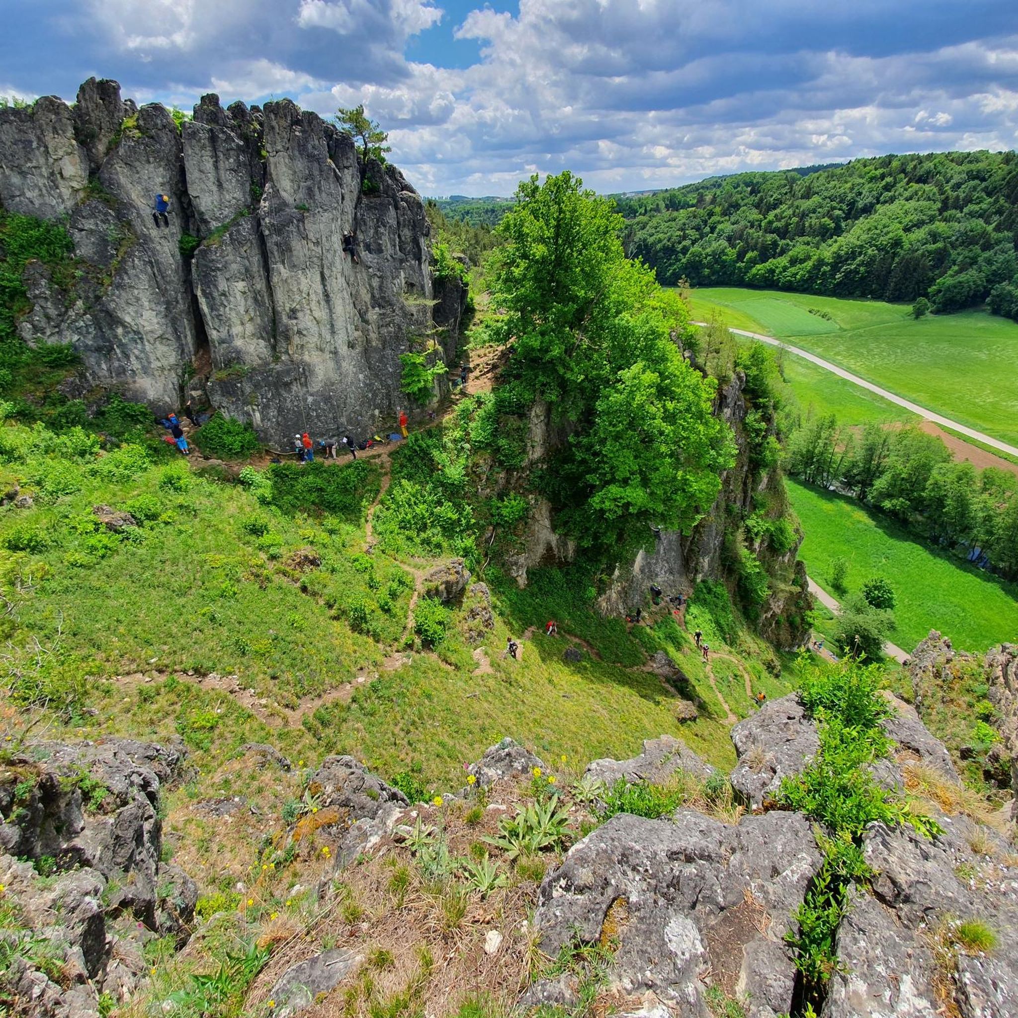
Mountaineering routes around Nittendorf are situated within the picturesque landscape of the Regensburg district, characterized by the Danube and Naab river valleys, interspersed with forested hills and limestone formations. The region offers varied terrain, from riverside paths to elevated viewpoints overlooking historical sites. This area provides a mix of challenging ascents and more gentle trails, catering to different mountaineering preferences.
Best mountaineering routes around Nittendorf
- The most popular mountaineering route is View of Weltenburg Abbey – Hall of Liberation, Kelheim…
Last updated: August 29, 2026
4.7
(3)
8
hikers
13.8km
03:55
280m
280m
Moderate mountaineering route. Good fitness required. Easily-accessible paths. Suitable for all skill levels.
3
hikers
Hard mountaineering route. Very good fitness required. Mostly accessible paths. Sure-footedness required.

Sign up for free
5.0
(1)
4
hikers
9.70km
02:45
220m
220m
Moderate mountaineering route. Good fitness required. Easily-accessible paths. Suitable for all skill levels.
2
hikers
13.4km
03:39
190m
190m
Moderate mountaineering route. Good fitness required. Easily-accessible paths. Suitable for all skill levels.
1
hikers
Easy mountaineering route. Great for any fitness level. Easily-accessible paths. Suitable for all skill levels.
Our route recommendations are based on thousands of hikes, rides, and runs completed by other people on komoot.
Start today with a free account
Your next adventure awaits.
Login or Signup
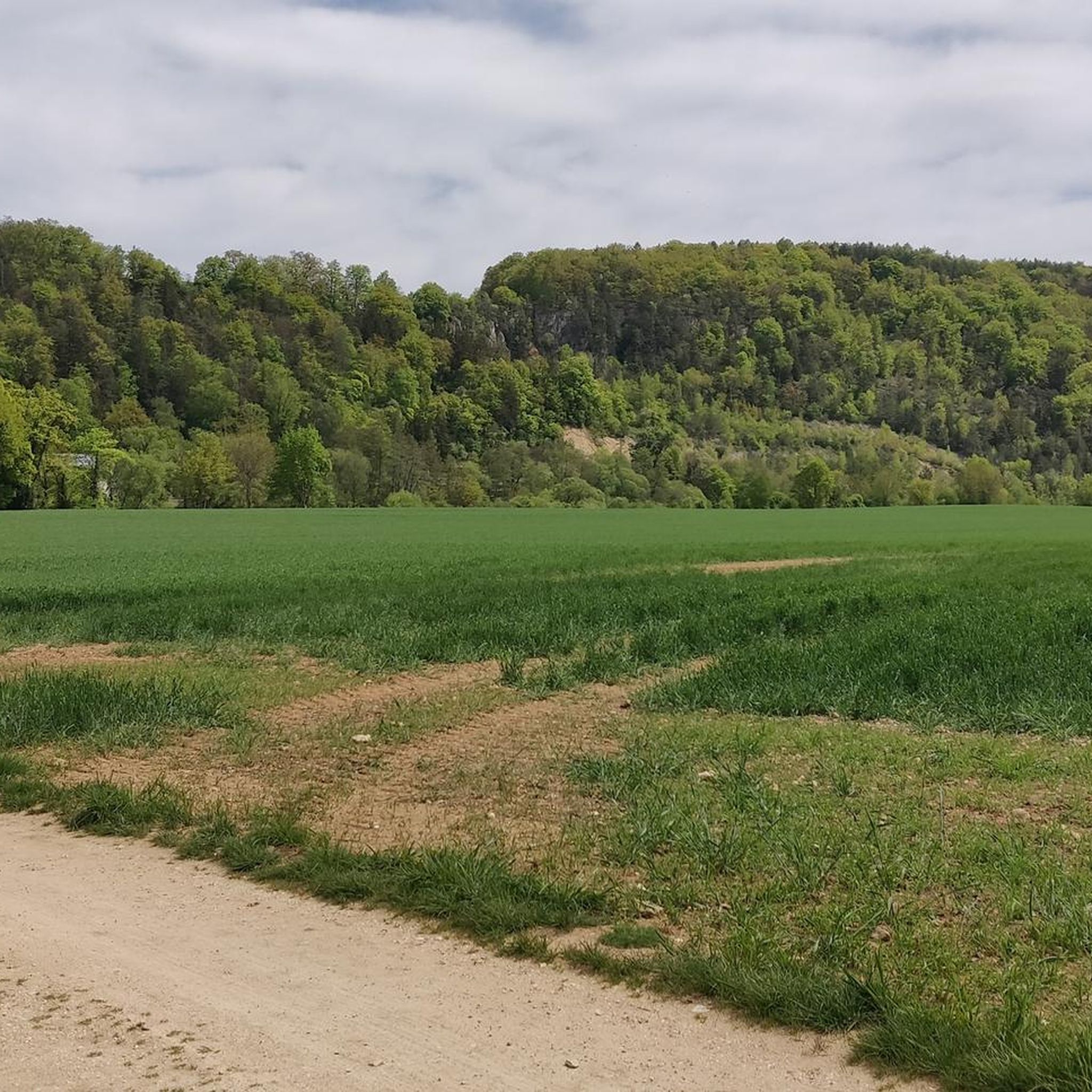
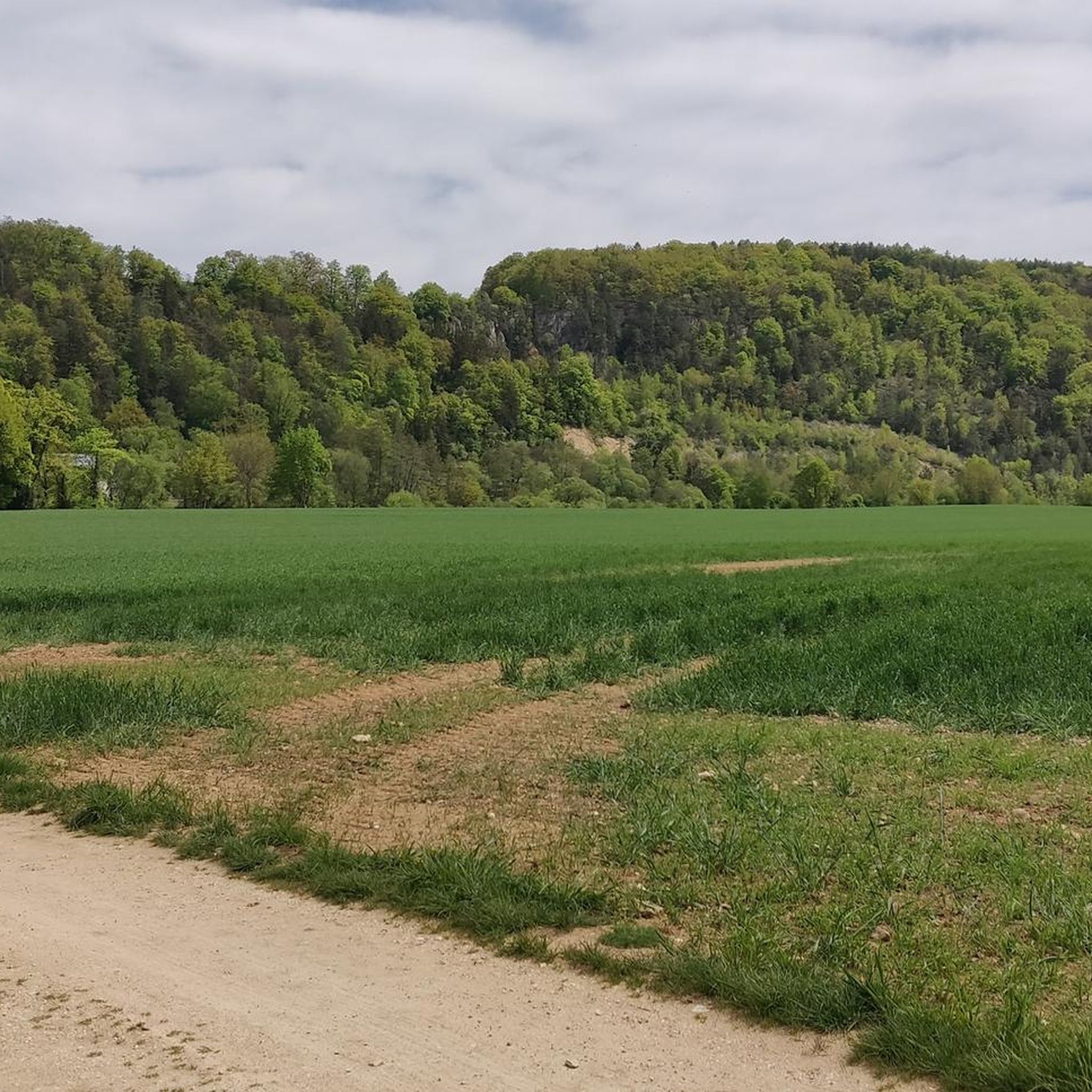
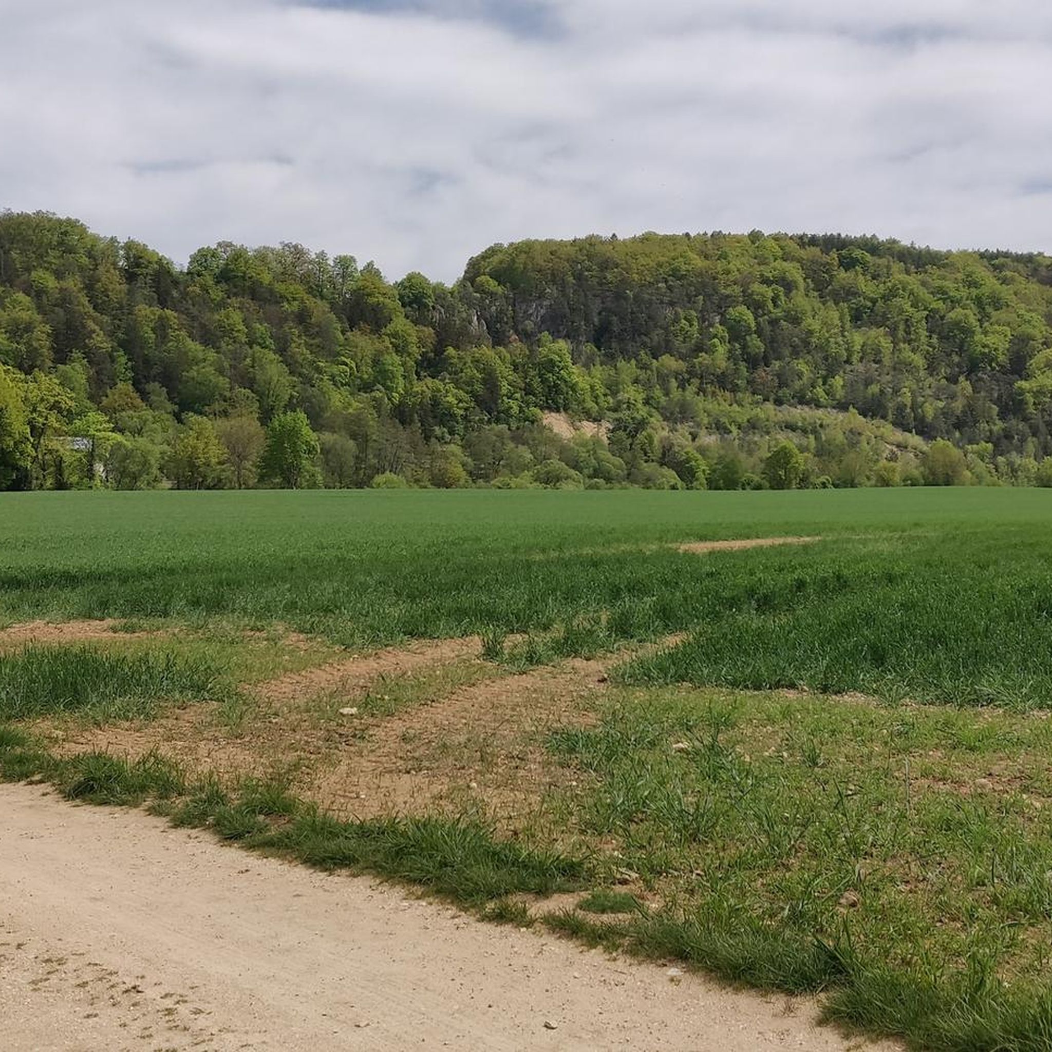
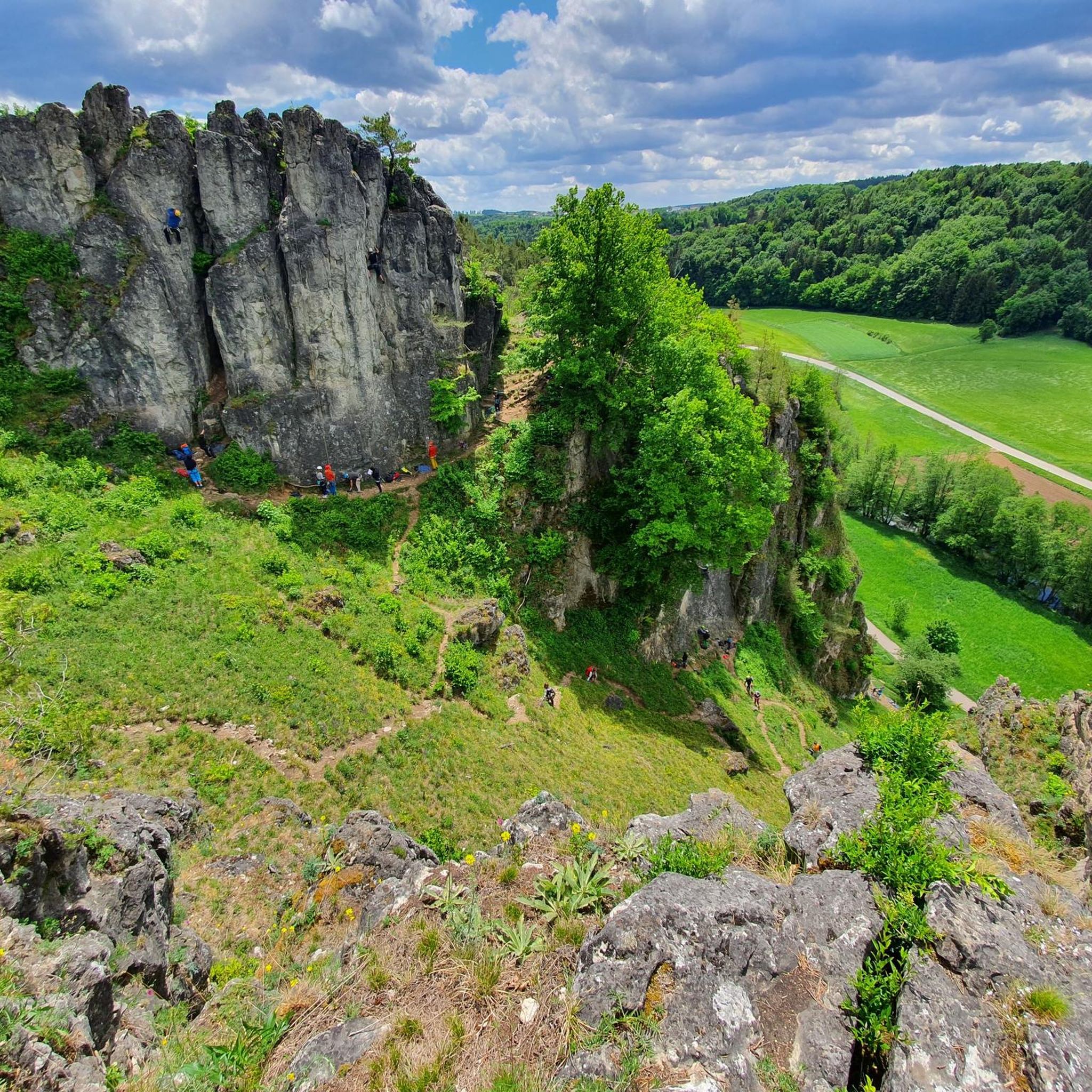
Tips from the Community

The Frauenhäusl-Trail, the "Flow-Trail Niederbayern", the Holy Josef Trail and the Goldberg-Trail (Kelheim) lie on a line. It's best to start at the top at Frauenhäusl. There is also the signpost of the UrTrails Altmühltal. Very nice long trail down towards Kehlheim. Complete route: either 1. Goldrush (UrTrails Altmühltal) https://www.herzstueck.bayern/poi/detail/goldrush-urtrails-altmuehltal-629d1307dc or 2. Pure Pleasure (UrTrails Altmühltal) https://www.herzstueck.bayern/poi/detail/pure-pleasure-urtrails-altmuehltal-d5276ff868
2
0

Beautiful restaurant with a shady beer garden, great snacks, friendly service, and fair prices.
7
0

At the pier you can also do the Kelheim round
0
0

Feel free to drag your brakes here! *fg*
0
0

A wonderful view here.
3
0

Great selection of cakes. Rustic dining room with ancient gas lighting on the ceiling, as the Fraunhäusel is not connected to the electricity grid. Very nice service! 🍀😃
2
0

A very beautiful landscape
2
0
Frequently Asked Questions
What kind of terrain can I expect on mountaineering routes around Nittendorf?
The Nittendorf region is characterized by the picturesque Danube and Naab river valleys, interspersed with forested hills and distinctive limestone formations. You'll find a mix of riverside paths, dense woodlands, and elevated viewpoints offering scenic vistas.
Are there any easy mountaineering routes suitable for beginners or families in Nittendorf?
Yes, Nittendorf offers routes suitable for various skill levels. For an easier option, consider the Frauenhäusl forest restaurant – Etzenberg loop from Frauenhäusl. This 4.1 km route is rated easy and takes about 1 hour 7 minutes to complete, making it a good choice for a relaxed outing.
What are some of the natural attractions or landmarks I can see along the routes?
The region is rich in natural beauty and historical sites. You can explore the dramatic Danube Gorge (Weltenburg Narrows), enjoy views of the Mattinger Hänge (Mattinger Slopes), or visit the unique Grotto Chapel in the Rock. The Schwarze Laber Valley also offers beautiful scenery.
Are there any circular mountaineering routes in the Nittendorf area?
Many routes in the Nittendorf area are designed as loops, offering varied scenery without retracing your steps. Examples include the popular View of Weltenburg Abbey – Hall of Liberation, Kelheim loop from Kelheim, or the Mountaineering loop from Kelheim.
What do other mountaineers say about the routes in Nittendorf?
The mountaineering routes around Nittendorf are highly rated by the komoot community, with an average score of 4.8 stars. Users often praise the diverse landscapes, from river valleys to dense woodlands, and the well-maintained paths that offer both challenging ascents and more gentle trails.
Are there any longer, more challenging mountaineering routes for experienced hikers?
For those seeking a more demanding experience, the Jurasteig Forest Trail – View of the Naab Valley loop from Etterzhausen is a difficult 19.5 km path. This route traverses the Jurasteig Forest, providing expansive views and a significant elevation gain.
Can I access mountaineering routes in Nittendorf using public transport?
While specific public transport connections vary by starting point, the region around Nittendorf and nearby towns like Kelheim and Etterzhausen are generally accessible by regional buses. It's advisable to check local bus schedules for the specific trailhead you plan to visit.
What is the typical duration for mountaineering routes in this region?
Route durations vary significantly based on length and difficulty. For instance, an easy route like the Frauenhäusl forest restaurant – Etzenberg loop from Frauenhäusl takes just over an hour, while a moderate one like the Danube Promenade, Kelheim – Old Town Hall, Kelheim loop from Kelheim can take around 3 hours 42 minutes. Longer, difficult routes may require over 5 hours.
Are there any caves or unique geological features to explore near the mountaineering trails?
Yes, the Nittendorf area is known for its caves and rock formations. You can visit the historic Klösterl Hermitage and Cave Church, or explore natural monuments like Schutzfels Pentling. The Robber's Cave is another interesting site.
What is the best time of year for mountaineering in Nittendorf?
The spring and autumn months generally offer the most pleasant conditions for mountaineering in Nittendorf, with mild temperatures and beautiful scenery. Summer can also be enjoyable, though it's wise to start early to avoid the midday heat. Winter mountaineering is possible but requires appropriate gear and caution due to potential snow and ice.
Are there options for parking near the trailheads in Nittendorf?
Many popular trailheads and starting points for mountaineering routes in the Nittendorf region, particularly around towns like Kelheim and Etterzhausen, offer designated parking areas. It's recommended to check specific route descriptions for detailed parking information.
Most popular routes around Nittendorf
Most popular attractions around Nittendorf

Get inspired with the komoot mobile app


Explore more
Browse the best Mountain Hikes & Routes in other regions.
