The best running trails around Brayford
3.8
(9)
604
runners
68
runs
Jogging around Brayford offers a variety of routes through diverse landscapes. The region features a mix of established trails, open moorland, and paths near water bodies. Runners can expect undulating terrain with some notable ascents, providing both scenic views and physical challenges. The area's natural environment makes it suitable for those seeking a connection with nature while exercising.
Best jogging routes around Brayford
- The most popular jogging route is Tarka Trail and Chains Barrow Loop, a 5.9 miles (9.5…
Last updated: July 2, 2026
6
runners
9.51km
01:04
180m
180m
Moderate run. Good fitness required. Mostly accessible paths. Some sure footedness required.
10
runners
20.0km
02:28
400m
400m
Hard run. Very good fitness required. Mostly paved surfaces. Suitable for all skill levels.

Sign up for free
7
runners
5.34km
00:36
100m
100m
Moderate run. Good fitness required. Mostly paved surfaces. Suitable for all skill levels.
3.0
(3)
7
runners
5.54km
00:35
70m
70m
Moderate run. Good fitness required. Mostly paved surfaces. Suitable for all skill levels.
3
runners
8.45km
00:56
160m
160m
Moderate run. Good fitness required. Mostly paved surfaces. Suitable for all skill levels.
Get access to more routes and recommendations from other explorers.
Sign up for free
Already have an account?
Our route recommendations are based on thousands of hikes, rides, and runs completed by other people on komoot.
Start today with a free account
Your next adventure awaits.
Login or Signup
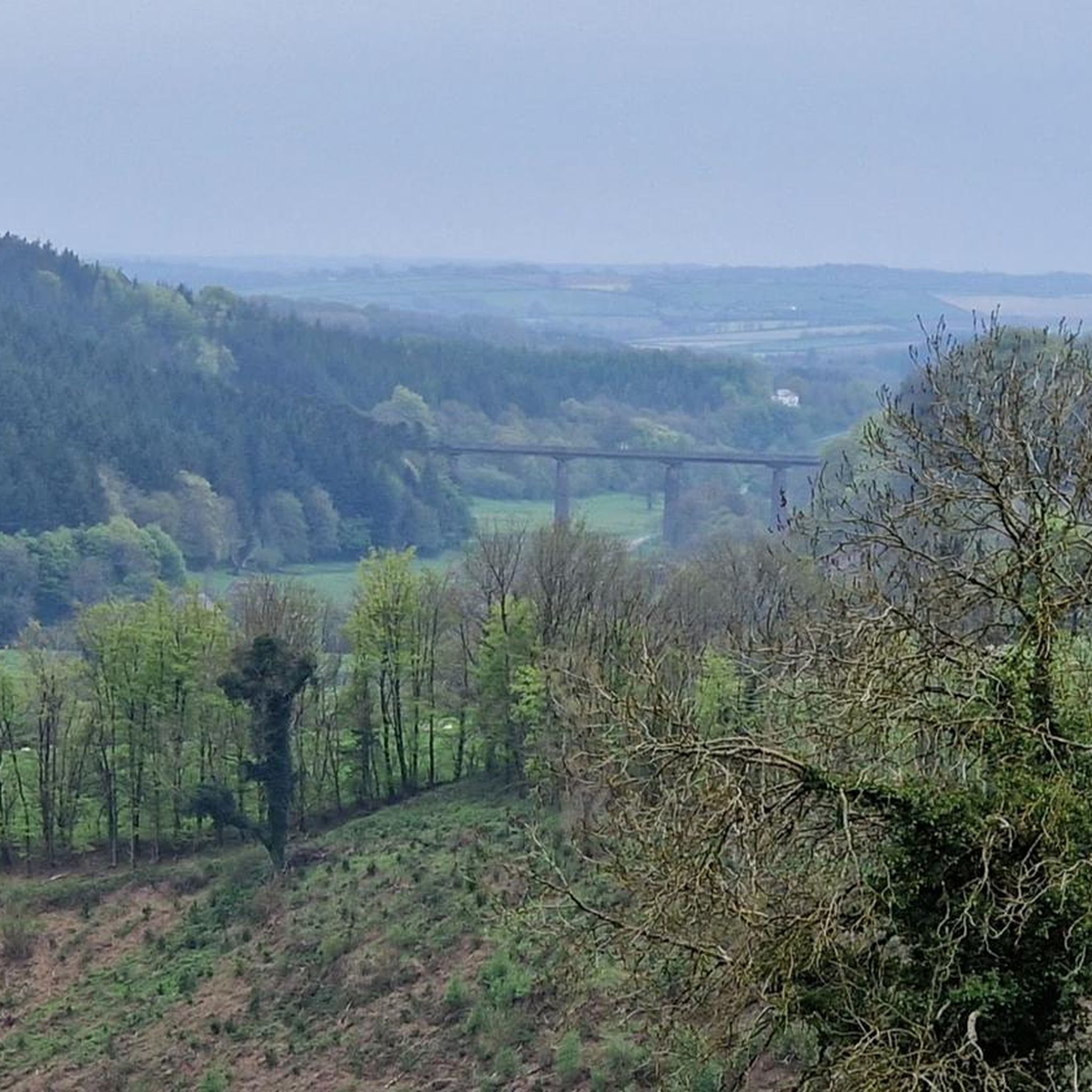
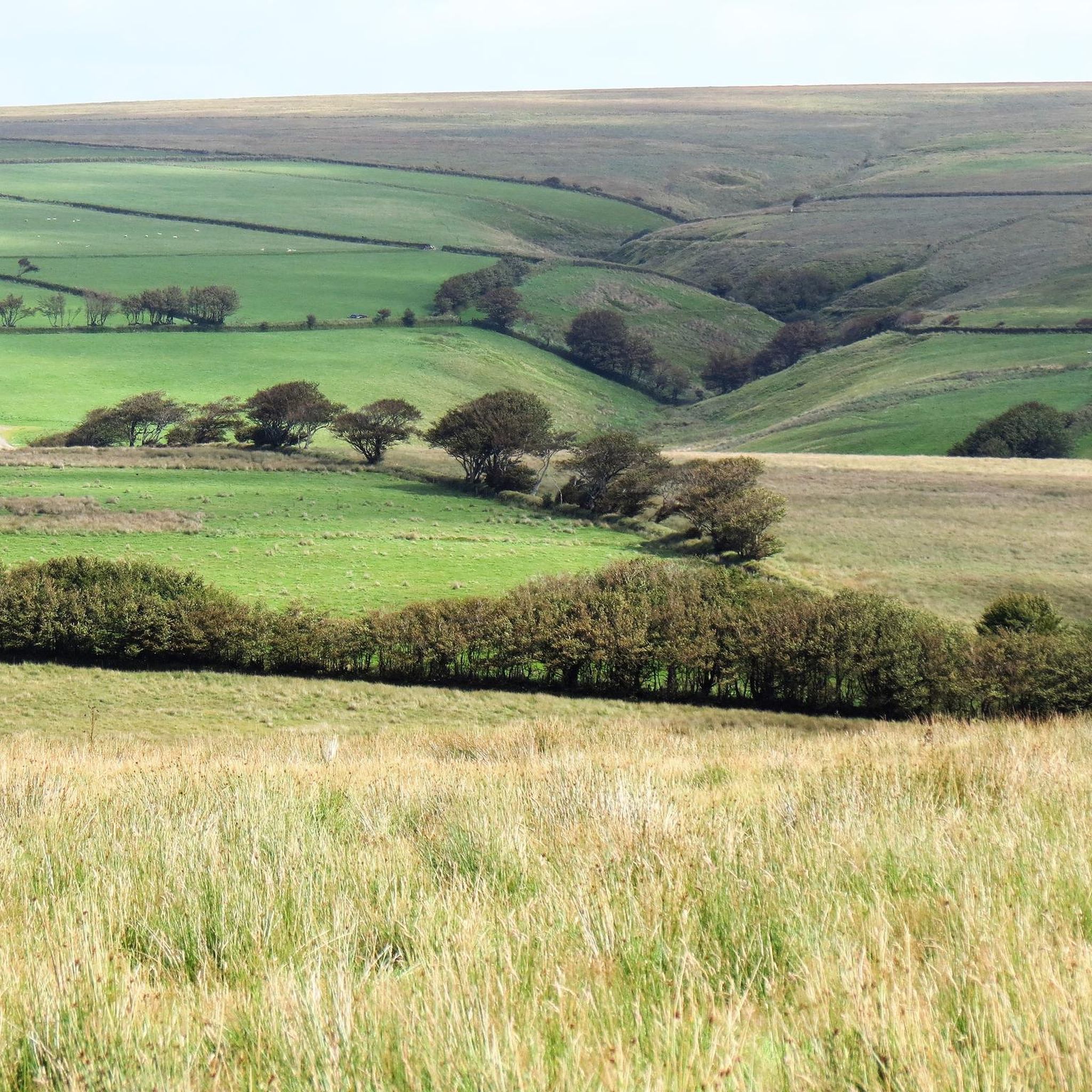
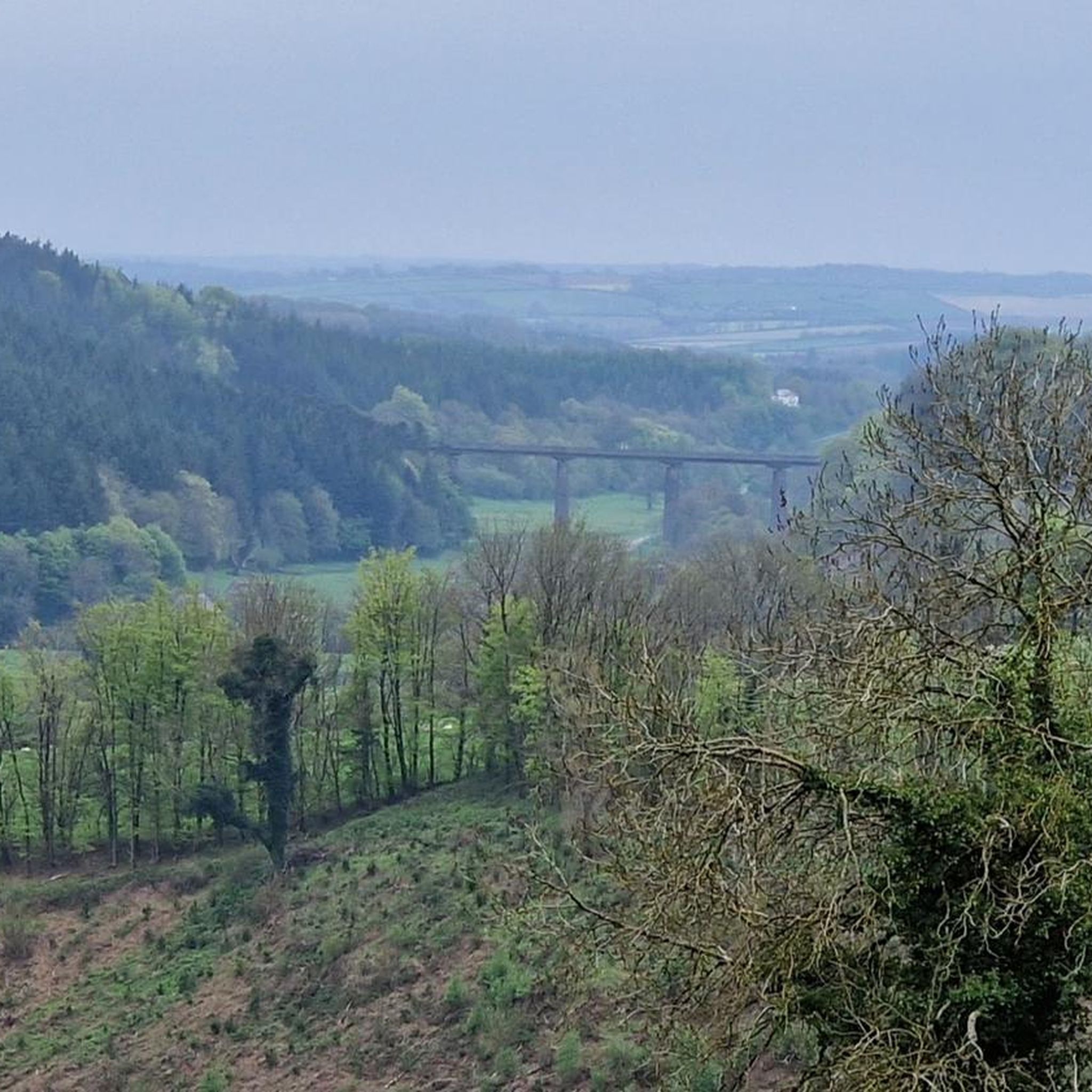
Tips from the Community

A mysterious standing stone just off to the side of the bridleway.
1
0

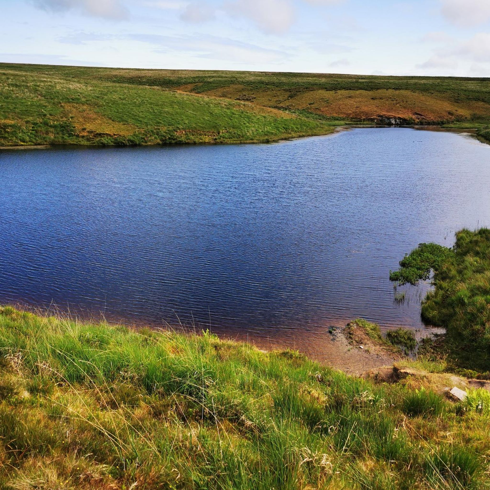
A beautiful and tranquil lake, high on Exmoor. It's around a mile's walk from the YHA layby on the B3358, but well worth it. The pond is a great spot for wild swimming, amongst the lillies in the beautiful deep red peat-infused water.
1
0

This is a Bronze Age bowl barrow in private ownership that used to serve as a boundary marker for Exmoor Forest.
0
0
Right between Chains Barrow and Wood Barrow, you'll find this artificial lake from 1830, formed by the headwaters of the River Barle. An ideal spot to stop for lunch or even dip your feet in to cool off.
0
0
Chains Barrow is only 32 meters lower in elevation than Dunkery Beacon, the highest point on Exmoor. The trig point is surrounded by a fence and is located just above a Bronze Age bowl barrow.
1
0
This tree marks the boundary between Brendon Common and the Royal Forest of Exmoor. It was planted in 1916.
3
0
The shepherds who worked in this remote area of Exmoor lived in this cottage for hundreds of years until the last shepherd family left in the 1960s and the cottage was abandoned.
3
0
This Bronze Age barrow sits at an elevation of 480 meters above sea level, right on the boundary dividing the counties of Devon and Somerset. It is recognized as a Scheduled Monument by both counties.
3
0
Frequently Asked Questions
How many running routes are available around Brayford?
There are over 70 running routes documented around Brayford on komoot, catering to various skill levels. You'll find a mix of easy, moderate, and challenging trails to explore.
Are there easy running routes suitable for beginners in Brayford?
Yes, Brayford offers several easier running options. For instance, the Pinkery Pond Parking Area loop from Acklands is a moderate 3.3 miles (5.3 km) trail that can be completed in about 35 minutes, making it a good choice for those starting out or looking for a shorter run.
What is the typical length of running trails in Brayford?
Running trails in Brayford vary significantly in length. While some routes are as short as 3.3 miles (5.3 km), others, like the challenging Chains Barrow Trig Point – Hoar Oak Cottage Ruins loop from Acklands, extend to nearly 12.4 miles (19.9 km). The average length for a moderate route is around 5-8 miles.
Can I bring my dog on the running routes in Brayford?
Yes, many running routes in Brayford, particularly those within Exmoor National Park, are dog-friendly. However, it's essential to keep dogs on a lead, especially when passing through farmland with livestock or during ground-nesting bird season (March to July). Always follow the Countryside Code.
Are there family-friendly jogging paths in Brayford?
For families looking for a pleasant jog, routes with less elevation and shorter distances are ideal. The Running loop from North Devon is a moderate 3.4 miles (5.5 km) route that offers a good balance for a family outing.
When is the best time of year to go running in Brayford?
Brayford offers great running opportunities year-round. Spring and autumn provide pleasant temperatures and beautiful scenery with changing foliage. Summer is excellent for longer days, but be prepared for warmer weather. Winter runs can be invigorating, but trails might be muddy or icy, especially on higher moorland, so appropriate gear is essential.
What can I see along the jogging routes in Brayford?
Many routes offer scenic views and points of interest. You might pass by natural features like Pinkery Pond or historical sites such as the Wheal Eliza mine ruins. The Tarka Trail and Chains Barrow Loop combines a well-known trail with a climb to a notable local hill, offering expansive views.
Are there circular running routes available in Brayford?
Yes, many of Brayford's running trails are circular, allowing you to start and end at the same point without retracing your steps. Examples include the popular Tarka Trail and Chains Barrow Loop and the The Poltimore Inn loop from Hunstone Cross.
What do other runners enjoy the most about jogging in Brayford?
The running routes in Brayford are highly rated by the komoot community, with an average score of 4.1 stars from over 16 reviews. Runners often praise the diverse landscapes, from established trails to open moorland, and the opportunity to connect with nature while exercising.
Are there any running routes that pass by water features or viewpoints?
Absolutely. The region features paths near water bodies like Pinkery Pond, and routes that offer stunning viewpoints. For example, the Chains Barrow Trig Point – Hoar Oak Cottage Ruins loop from Acklands provides expansive views across the moorland.
What kind of terrain can I expect on Brayford's running trails?
Brayford's running terrain is quite varied. You can expect undulating paths, sections of open moorland, and established trails. Some routes include notable ascents, providing both scenic views and a physical challenge. It's advisable to wear appropriate footwear for mixed terrain.
Are there any hidden gem running trails in Brayford?
While the guide highlights popular routes, many smaller, less-trafficked paths exist throughout the region. Exploring the network of trails around Brayford often reveals quiet stretches and unique views away from the main routes. Look for trails that venture deeper into the moorland for a more secluded experience.
Most popular attractions around Brayford

Get inspired with the komoot mobile app


Explore more
Browse the best Running Trails & Routes in other regions.
