The best walks and hikes around Raleagh
4.9
(7)
95
hikers
5
hikes
Hiking trails around Raleagh are characterized by a landscape of dense forests, serene loughs, and rolling hills. The region features varied terrain, including established forest paths and trails around natural water bodies. These natural features provide a mix of sheltered woodland walks and open routes with views across the loughs. The area offers diverse environments for outdoor exploration.
Best hiking trails around Raleagh
- The most popular hiking route is Drumkeeragh Forest Park loop, a 4.8 miles (7.7 km) trail…
Last updated: June 27, 2026
4.7
(3)
51
hikers
7.74km
02:08
130m
130m
Embark on the Drumkeeragh Forest Park loop, a moderate hike that takes you through scenic woodland and offers expansive views of the County Down countryside. This 4.8-mile (7.7 km) route,…
5.0
(2)
3
hikers
5.85km
01:39
120m
120m
Easy hike. Great for any fitness level. Easily-accessible paths. Suitable for all skill levels.

Sign up for free
3
hikers
6.38km
01:41
50m
50m
Easy hike. Great for any fitness level. Easily-accessible paths. Suitable for all skill levels.
5
hikers
3.02km
00:49
40m
40m
Easy hike. Great for any fitness level. Easily-accessible paths. Suitable for all skill levels.
3
hikers
5.10km
01:19
30m
30m
Easy hike. Great for any fitness level. Easily-accessible paths. Suitable for all skill levels.
Our route recommendations are based on thousands of hikes, rides, and runs completed by other people on komoot.
Start today with a free account
Your next adventure awaits.
Login or Signup
Popular around Raleagh
Tips from the Community

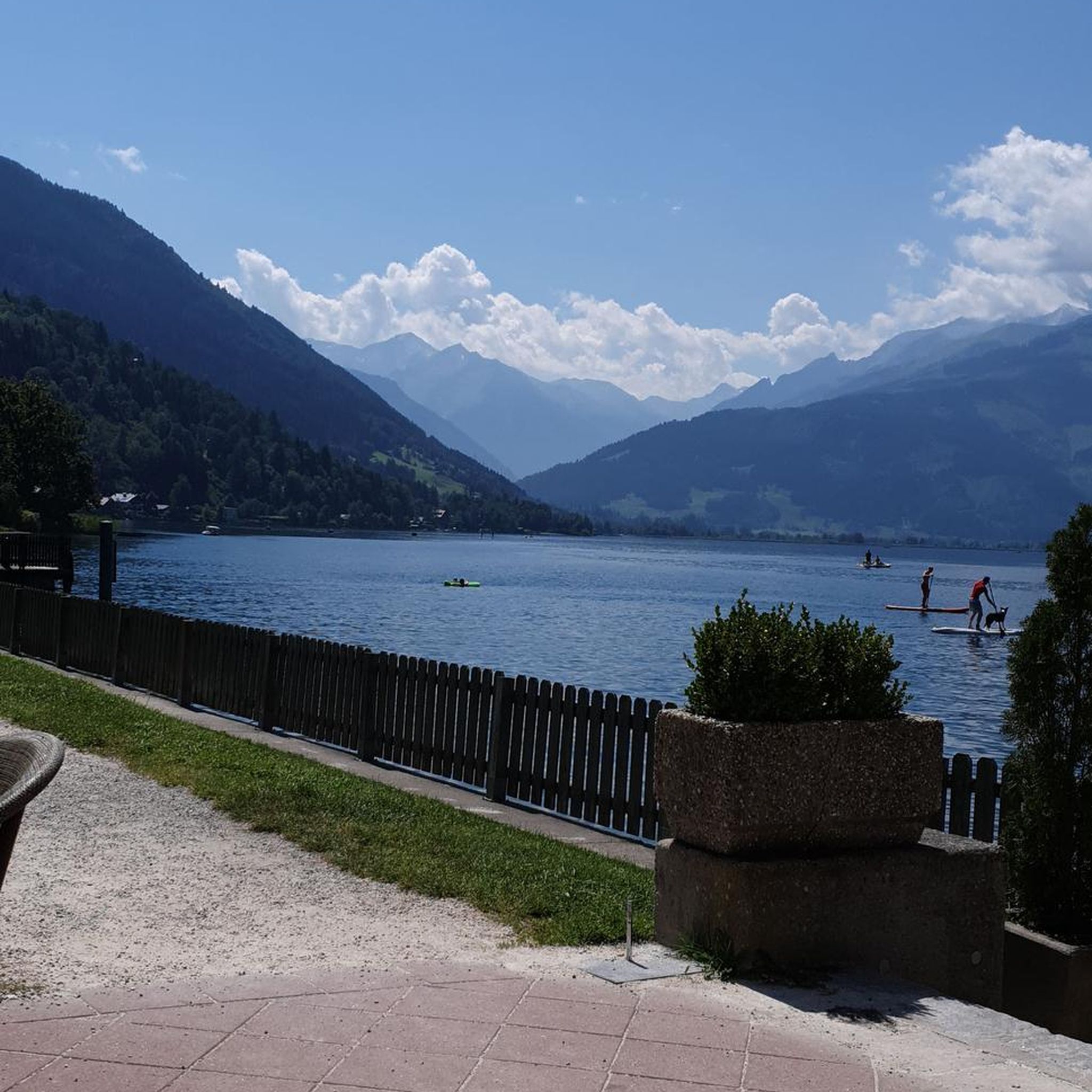
Drumkeeragh is a beautiful coniferous woodland located in the southern region of Northern Ireland. The forest is in a mountaineous area, creating an elevated position to enjoy far-reaching views toward the Mourne Mountains, coastline & surrounding lush counyside.
1
0
From this point in the park, you can enjoy sublime views toward the towering Mourne Mountains of Northern Ireland.
1
0
Frequently Asked Questions
How many hiking trails are available in Raleagh?
There are 8 hiking routes around Raleagh, offering a mix of easy strolls and moderate forest hikes. These trails explore dense woodlands, tranquil loughs, and gentle hills.
What kind of landscapes can I expect to see while hiking in Raleagh?
Raleagh's hiking trails are characterized by dense forests, serene loughs (lakes), and rolling hills. You'll find established forest paths and routes that wind around natural water bodies, providing a mix of sheltered woodland walks and open views.
Are there any easy hiking trails suitable for beginners or a relaxed outing?
Yes, Raleagh offers several easy trails. For a gentle walk through the forest, consider the Drumkeeragh Forest – Fallen Tree on Forest Path loop from County Down, which is 3.5 miles long. Another easy option is the Montgomery's Lough loop from Ballynahinch, a 4.0-mile trail leading through forest and alongside a lough.
What are the most popular hiking spots or landmarks in Raleagh?
Hikers in Raleagh frequently explore areas like Drumkeeragh Forest and Montgomery's Lough. Notable landmarks and viewpoints in the wider area include Slieve Croob Summit, offering expansive views, and the tranquil Drumkeeragh Forest itself.
Are there any circular hiking routes in Raleagh?
Yes, many of the trails in Raleagh are circular. A popular moderate option is the Drumkeeragh Forest Park loop, which is 4.8 miles long. For an easier circular walk, try the Drumkeeragh Forest loop from Slieve Croob.
What do other hikers enjoy most about the trails in Raleagh?
The hiking routes in Raleagh are highly rated by the komoot community, with an average score of 4.9 stars. Hikers often praise the quiet woodlands, the serene loughs, and the well-maintained paths that offer diverse environments for outdoor exploration.
Are there any historical sites or natural monuments to see near the hiking trails?
Yes, the Raleagh area is rich in points of interest. You can visit historical sites like Seaforde Gardens and Tropical Butterfly House or Inch Abbey. For natural monuments, besides the Slieve Croob Summit, you might find the ancient Annadorn Dolmen interesting.
What is the typical difficulty level of hikes in Raleagh?
Raleagh offers a range of difficulties. Most trails are classified as easy, perfect for leisurely walks. There are also several moderate routes, such as the Drumkeeragh Forest Park loop, which provides a slightly more challenging experience with some elevation gain.
Are there any trails that feature water bodies like rivers or loughs?
Absolutely. The landscape of Raleagh is characterized by serene loughs, and many trails incorporate them. The Montgomery's Lough loop from Ballynahinch directly follows the lough. You can also find the River Quoile nearby, offering additional scenic water features.
What is the longest hiking trail available in Raleagh?
The longest route listed is the Drumkeeragh Forest Park loop, covering approximately 4.8 miles (7.7 km) and typically taking around 2 hours and 8 minutes to complete.
Are there any trails that offer good viewpoints of the surrounding area?
Yes, for panoramic views, consider hiking towards Slieve Croob Summit. From certain vantage points, you might even catch a View of the Mourne Mountains and Newcastle, offering stunning distant scenery.
Most popular routes around Raleagh
Most popular attractions around Raleagh

Get inspired with the komoot mobile app


Explore more
Browse the best Hikes in other regions.
