The best walks and hikes around Burren
4.5
(23)
547
hikers
13
hikes
Hikes around Burren traverse a unique glacio-karst landscape on Ireland's west coast. The region is characterized by extensive limestone pavements, which are scored by deep fissures known as grikes. This terrain supports a mix of arctic, alpine, and Mediterranean flora, and is dotted with numerous archaeological sites.
Best hiking trails around Burren
- The most popular hiking route is Slieve Croob — Mourne, a 2.8 mile (4.5 km) trail that takes about 1 hour 22 minutes to complete. This is…
Last updated: June 27, 2026
4.2
(9)
152
hikers
4.49km
01:23
160m
160m
Embark on the Slieve Croob Transmitter Road Walk, an easy hiking route that promises extensive panoramic views from its summit. This 2.8-mile (4.5 km) journey involves a gentle climb of…
4.7
(3)
51
hikers
7.74km
02:08
130m
130m
Embark on the Drumkeeragh Forest Park loop, a moderate hike that takes you through scenic woodland and offers expansive views of the County Down countryside. This 4.8-mile (7.7 km) route,…

Sign up for free
4.0
(2)
13
hikers
10.1km
03:07
360m
360m
Moderate hike. Good fitness required. Easily-accessible paths. Suitable for all skill levels.
4.0
(2)
12
hikers
10.7km
03:17
380m
380m
Moderate hike. Good fitness required. Easily-accessible paths. Suitable for all skill levels.
5.0
(2)
3
hikers
5.85km
01:39
120m
120m
Easy hike. Great for any fitness level. Easily-accessible paths. Suitable for all skill levels.
Get access to more routes and recommendations from other explorers.
Sign up for free
Already have an account?
Our route recommendations are based on thousands of hikes, rides, and runs completed by other people on komoot.
Start today with a free account
Your next adventure awaits.
Login or Signup
Popular around Burren
Tips from the Community

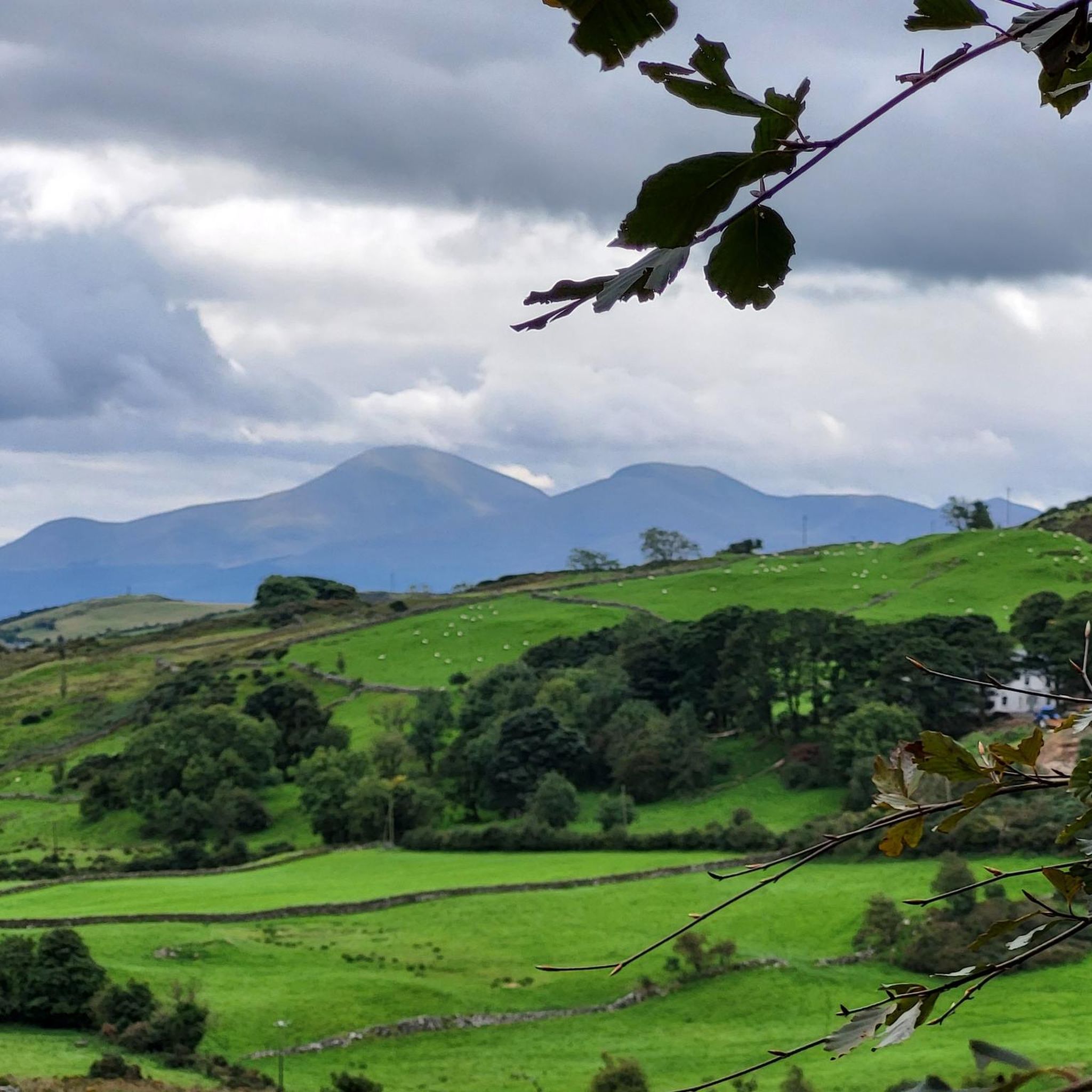
Drumkeeragh is a beautiful coniferous woodland located in the southern region of Northern Ireland. The forest is in a mountaineous area, creating an elevated position to enjoy far-reaching views toward the Mourne Mountains, coastline & surrounding lush counyside.
1
0
From this point in the park, you can enjoy sublime views toward the towering Mourne Mountains of Northern Ireland.
1
0
A winding path will lead you past a number of telecommunication towers up to the summit of Slieve Croob. There's some great views on offer here across County Down to the wonderful Mourne mountain range.
1
0
Slieve Croob stands at 534m and is the highest peak of the Dromara Hills, situated just north of the Mourne Mountains. From the summit, you can enjoy expansive views across County Down and toward the Mourne mountain range, a designated Area of Natural Beauty.
2
0

Good views and the most obvious spot to stop at the top of Dree hill, on the edge of Mourne AONB.
0
0

what a great day spent up slieve croob weather was fabulous.. handy enuff on a nice path even saw a few cyclists 👍
0
1

Tough climb to the summit, try and go on a clear day to get the best veiws.
1
0
Frequently Asked Questions
What is the terrain like when hiking in the Burren?
Expect a unique and challenging landscape. The Burren is famous for its vast limestone pavements, which are large slabs of rock scored by deep fissures called 'grikes'. While visually stunning, this terrain can be uneven and slippery when wet, so sturdy footwear with good grip is essential. Trails can also lead through grassy fields, hazel woodlands, and along coastal paths.
Are there any easy, family-friendly loop walks in the Burren?
Yes, the Burren offers several options for families. While many trails involve rugged limestone, there are gentler paths available. The Montgomery's Lough loop from Ballynahinch is an easy walk that is great for a relaxed outing. Additionally, the Burren National Park has several way-marked trails of varying difficulty, including shorter loops suitable for all ages.
Can I bring my dog on hikes in the Burren?
Dogs are not permitted on trails within the Burren National Park to protect the sensitive ecosystem and grazing livestock. On trails outside the park, policies can vary. It's a region with extensive farmland, so you will likely encounter sheep. Always keep your dog on a lead and under control. Check local signage at trailheads before you start your walk.
What is the best time of year to hike in the Burren?
Late spring and early summer, from May to July, are considered the best times to visit. During this period, the region's famous wildflowers are in full bloom, creating a spectacular display of color among the limestone grikes. The weather is also generally milder, though you should always be prepared for rain and changing conditions.
Where can I find trails with historical or archaeological sites?
The Burren is like an open-air museum, rich with ancient history. Many trails pass by megalithic tombs, stone forts (cahers), and ancient field systems. The area around the iconic Poulnabrone Dolmen and Caherconnell Stone Fort is particularly dense with historical features. Following sections of the Burren Way will also lead you past numerous archaeological points of interest.
Are there guided walks available in the Burren?
Yes, several local operators offer guided walks. These are a great way to learn about the unique geology, botany, and archaeology of the area from an expert. Highly-regarded local services like Heart of Burren Walks and Doolin Cliff Walks provide insightful tours that can enhance your experience and help you safely navigate the terrain.
What should I wear for a hike in the Burren?
Dressing in layers is key. The weather can change quickly. Essential items include waterproof rain gear (jacket and trousers), sturdy hiking boots with ankle support for the uneven limestone, and moisture-wicking base layers. Even on a sunny day, it's wise to pack a hat, gloves, and an extra warm layer.
Where can I find good viewpoints of Galway Bay and the Aran Islands?
For stunning coastal views, the Black Head Loop is an excellent choice. This trail combines cliff-side paths looking out over the Atlantic with classic inland Burren landscapes. On a clear day, you'll have fantastic panoramic views across Galway Bay towards the Aran Islands and the Connemara mountains.
Is there parking available for the main hiking trails?
Parking is available at several key trailheads, but it can be limited, especially during peak season. The main visitor centre for the Burren National Park at Corofin has parking, and there are designated car parks for trails starting from Gortlecka Crossroads. For popular routes, it's best to arrive early to secure a spot.
What are the trails in the Burren National Park like?
The Burren National Park offers seven way-marked trails starting from the Gortlecka Crossroads. They range from an easy 30-minute nature trail to more strenuous 3-hour loops that ascend Mullaghmore mountain. The trails guide you through the park's most significant habitats, including limestone pavement, hazel scrub, and species-rich grasslands. You can find detailed trail information on the official National Parks website.
Are there any good pubs or restaurants near the walking trails?
Yes, the villages surrounding the Burren, such as Ballyvaughan, Doolin, and Corofin, have excellent pubs and restaurants where you can relax after a hike. These villages are known for their traditional Irish music and hospitality, offering a perfect way to end a day of exploring the landscape.
What do other hikers enjoy most about the Burren?
The area is highly rated by the komoot community. Reviewers frequently praise the otherworldly, lunar-like landscape of the limestone pavements and the surprising richness of the flora. Many hikers also appreciate the sense of walking through history, with ancient tombs and forts scattered across the hills.
Most popular routes around Burren
Most popular attractions around Burren

Get inspired with the komoot mobile app


Explore more
Browse the best Hikes in other regions.
