The best walks and hikes around Drumreagh Upper
4.6
(377)
2,862
hikers
97
hikes
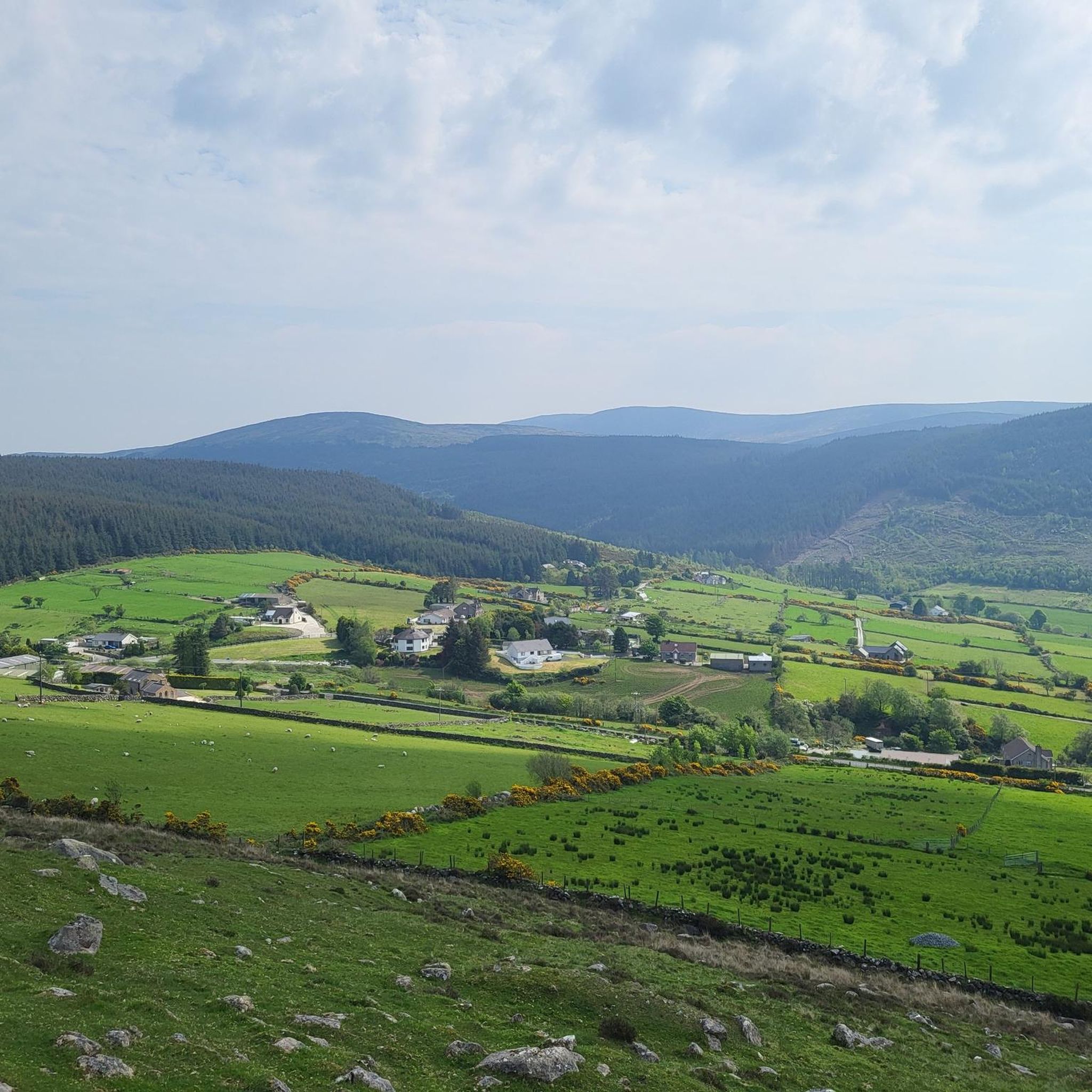
Hiking trails around Drumreagh Upper traverse diverse landscapes, from the dramatic Cooley Mountains to the shores of Carlingford Lough. The region features extensive woodlands, including Rostrevor Forest and Kilbroney Park, providing varied terrain for outdoor activities. Hikers can explore mountain paths, forest trails, and routes offering views over the lough. The area's elevation changes range from gentle slopes to more challenging ascents.
Best hiking trails around Drumreagh Upper
- The most popular hiking route is Fallows Trail, a 7.4 miles…
Last updated: June 27, 2026
4.2
(6)
60
hikers
6.51km
02:03
270m
270m
Embark on a moderate hike to Pierce's Castle from Sandbank Road, a 4.0-mile (6.5 km) route that takes about 2 hours and 3 minutes to complete. You will gain 892…
4.6
(11)
44
hikers
11.9km
03:33
370m
370m
Embark on the Fallows Trail for a moderate hiking adventure that spans 7.4 miles (11.9 km) and includes a significant elevation gain of 1201 feet (366 metres). You can expect…

Sign up for free
4.0
(3)
22
hikers
7.94km
02:44
430m
430m
Embark on the Rostrevor Forest Slievemartin Trail, a moderate hike spanning 4.9 miles (7.9 km) with an elevation gain of 1405 feet (428 metres), typically taking around 2 hours and…
4.8
(5)
17
hikers
12.9km
04:10
540m
530m
Embark on the Slievemeen, Slievemeel & Slievemartin loop, a moderate hike covering 8.0 miles (12.9 km) with an elevation gain of 1768 feet (539 metres), typically taking 4 hours and…
4.0
(5)
13
hikers
3.51km
01:13
200m
190m
Embark on the easy Cloughmore Trail, a 2.2-mile (3.5 km) hike that typically takes about 1 hour and 12 minutes to complete. You will gain 646 feet (197 metres) in…
Get access to more routes and recommendations from other explorers.
Sign up for free
Already have an account?
Our route recommendations are based on thousands of hikes, rides, and runs completed by other people on komoot.
Start today with a free account
Your next adventure awaits.
Login or Signup



Tips from the Community

The hike to the Cloghmór Stone feels like a journey through time. Over 10,000 years ago, the ice brought this massive granite block from Scotland here, and now, weighing an estimated 50 tons, it towers majestically over the landscape. But it's not just the geology that's fascinating - according to legend, it was the giant Finn McCool who threw this enormous stone over Carlingford Lough. To be honest, the legend is a much more exciting explanation, isn't it? Once you've reached the top, you'll not only be greeted by the imposing boulder, but also by a fantastic view of Carlingford Lough and the surrounding hills. It's the perfect place to pause for a moment, take in the vastness and enjoy the peace that this place exudes.
0
0

This is a pretty peaceful and beautiful place I quite like it https://blossomword-game.com
0
0

A beautiful round stone, there is a legend about it but unfortunately we could not find out
0
0
A beautiful forest with good views of the sea
0
0
Designated viewpoint, with a nice bench to relax
0
0

A beautiful secluded clearing in the Oak forest. The message on the bench is pretty apt for any trail runners who have slogged up the hill!
1
0
A tough climb from any direction but a great place to refuel and enjoy the views.
0
0
Lovely quite spot to take a break. Or be sure to get up for the Setting The Scene event of Fiddlers Green Festival every Summer for music and stories!
0
0
Frequently Asked Questions
How many hiking trails are available in Drumreagh Upper?
Drumreagh Upper offers a wide variety of hiking experiences, with nearly 100 trails recorded on komoot. These routes traverse diverse landscapes, from the Cooley Mountains to the shores of Carlingford Lough, catering to different fitness levels.
Are there easy hiking trails suitable for beginners or families in Drumreagh Upper?
Yes, Drumreagh Upper has many accessible options. There are over 35 easy trails, perfect for beginners or families. A great example is the Cloughmore Trail, an easy walk in Kilbroney Forest Park that offers panoramic views.
What kind of natural attractions can I see along the hiking trails in Drumreagh Upper?
The region is rich in natural beauty. Hikers can explore the scenic Cooley Mountains, enjoy views over Carlingford Lough, and discover extensive woodlands like Rostrevor Forest. A notable landmark is the Cloughmore Stone, a massive erratic boulder with legendary ties, offering fantastic views. You can also find viewpoints like the View of Carlingford Lough from Mourne AONB.
Are there any circular hiking routes in Drumreagh Upper?
Yes, many trails in Drumreagh Upper are circular, allowing you to start and end at the same point. The Fallows Trail in Kilbroney Park is a popular moderate circular loop, and for a more challenging experience, consider the Slievemeen, Slievemeel & Slievemartin loop.
What do other hikers enjoy most about the trails in Drumreagh Upper?
The trails in Drumreagh Upper are highly rated by the komoot community, with an average score of 4.6 stars from over 390 reviews. Hikers frequently praise the diverse landscapes, from mountain ascents in the Cooley Mountains to tranquil forest paths in Rostrevor Forest, and the stunning viewpoints overlooking Carlingford Lough.
What is the best time of year to go hiking in Drumreagh Upper?
Drumreagh Upper offers hiking opportunities year-round. Spring and autumn provide pleasant temperatures and vibrant scenery, with blooming wildflowers or rich foliage. Summer is ideal for longer days and warmer weather, while winter can offer crisp, clear views, though some higher routes may require more preparation due to potential colder conditions.
Are there any dog-friendly hiking trails in Drumreagh Upper?
Many trails in Drumreagh Upper are suitable for dogs, especially within the forest areas like Rostrevor Forest and Kilbroney Park. It's always recommended to keep dogs on a leash, especially near livestock or in busy areas, and to check local signage for any specific restrictions.
Where can I find parking for hiking trails in Drumreagh Upper?
Parking is generally available at popular trailheads and visitor centers. For trails within Kilbroney Park, such as the Fallows Trail, there are designated parking areas. Similarly, access points for routes leading to the Cloughmore Stone or through Rostrevor Forest typically have parking facilities.
Are there any challenging mountain hikes in the Drumreagh Upper area?
Yes, for experienced hikers seeking a challenge, the Cooley Mountains provide more strenuous options. The Slievemeen, Slievemeel & Slievemartin loop is a moderate to difficult trail leading through the higher slopes, offering significant elevation gain and expansive views.
What should I bring for a hike in Drumreagh Upper?
For any hike in Drumreagh Upper, it's advisable to wear appropriate footwear, carry water, and pack layers of clothing as weather conditions can change. Depending on the trail length and difficulty, consider bringing snacks, a map or GPS device, and sun protection. For longer or more challenging routes, a first-aid kit is also recommended.
Can I reach hiking trails in Drumreagh Upper using public transport?
While some areas are more accessible by car, public transport options exist to reach nearby towns like Rostrevor, which serves as a gateway to many trails in Rostrevor Forest and Kilbroney Park. From these towns, you may be able to access trailheads directly or with a short walk.
Most popular attractions around Drumreagh Upper

Get inspired with the komoot mobile app


Explore more
Browse the best Hikes in other regions.
