The best walks and hikes around Kilbroney Upper
4.6
(409)
3,034
hikers
119
hikes
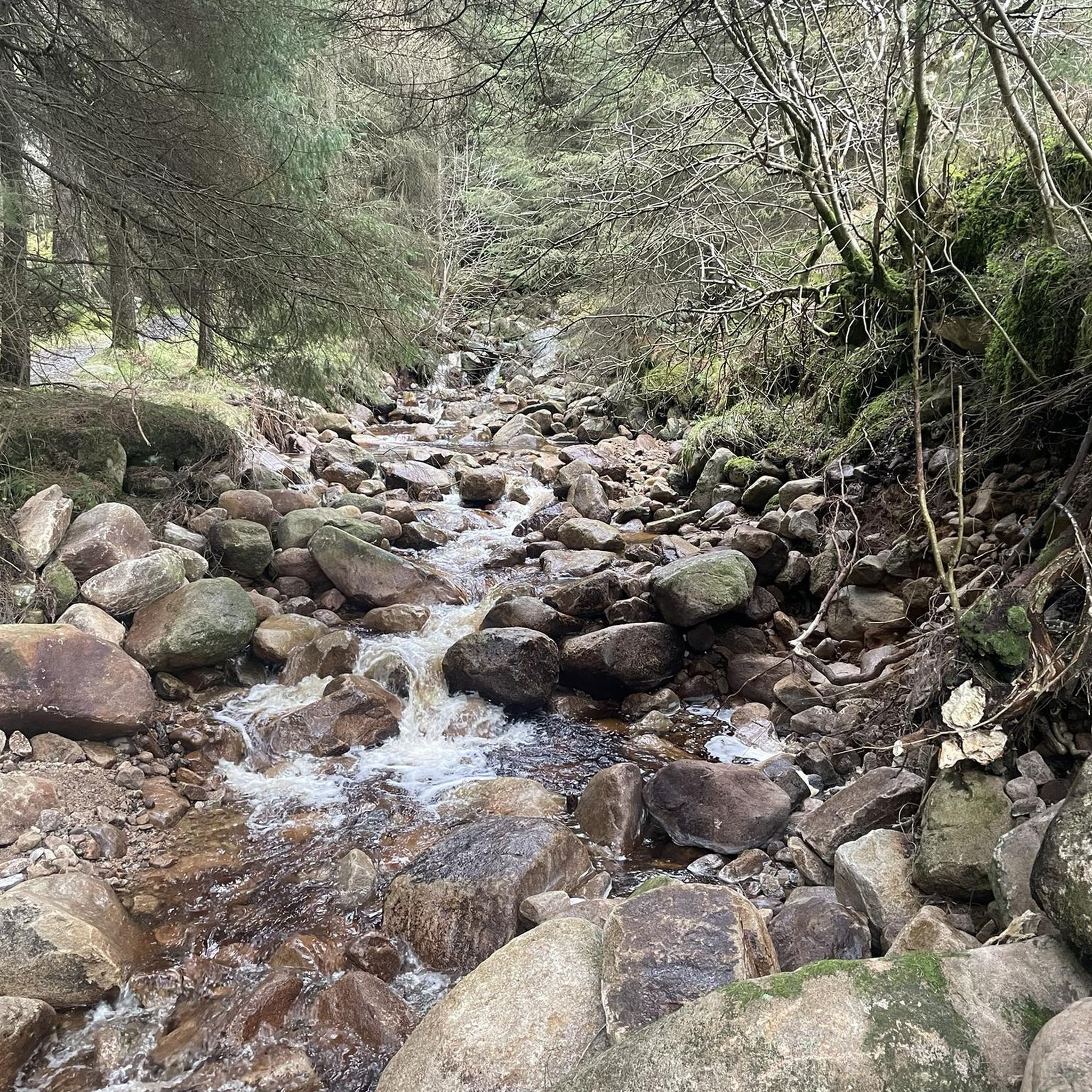
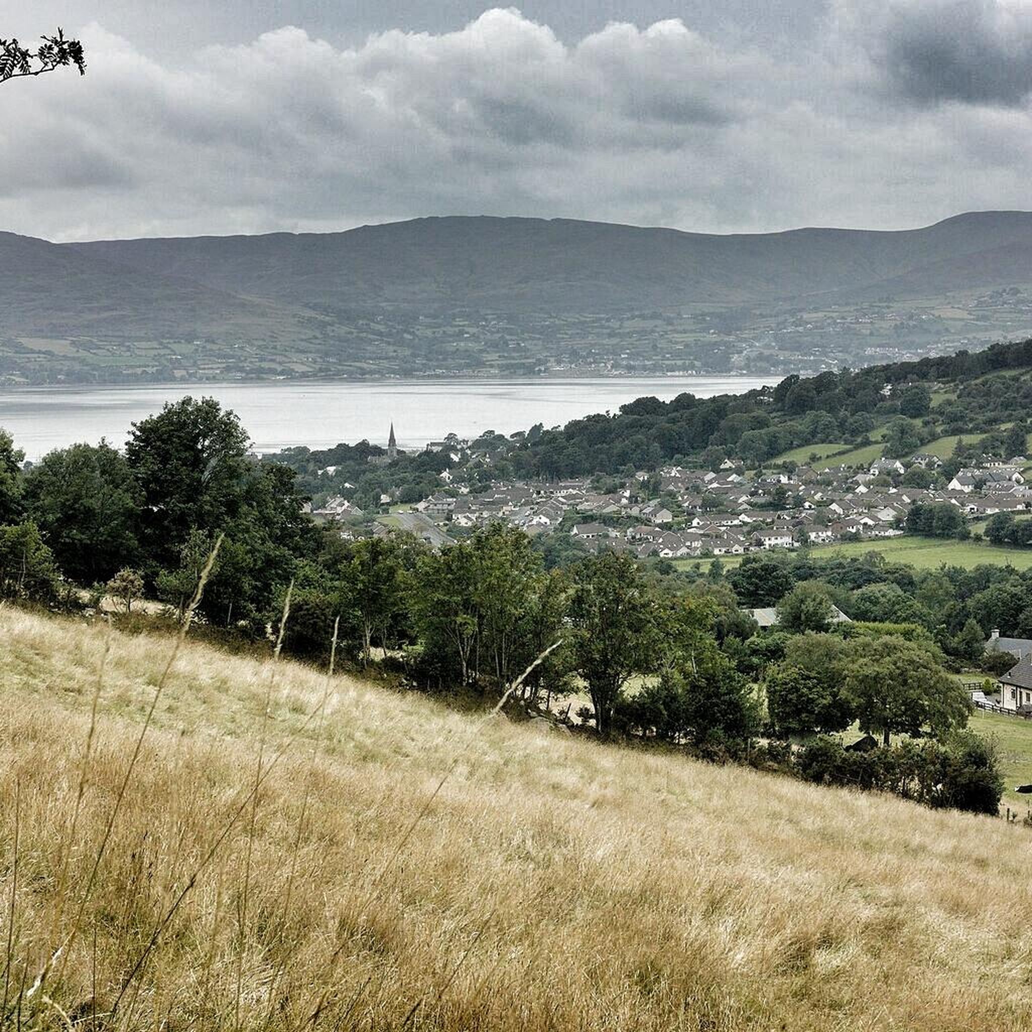
Hiking around Kilbroney Upper is characterized by its diverse landscape, featuring dense woodlands, rolling hills, and panoramic views of Carlingford Lough. The region's terrain includes varied elevations, from gentle slopes to more challenging ascents, providing a range of experiences for hikers. This area offers a mix of forest paths and open mountain trails.
Best hiking trails around Kilbroney Upper
- The most popular hiking route is Pierce's Castle from Sandbank Road, a 4.0 miles (6.5 km) trail that takes 2…
Last updated: July 2, 2026
4.2
(6)
61
hikers
6.51km
02:03
270m
270m
Moderate hike. Good fitness required. Easily-accessible paths. Suitable for all skill levels.
4.4
(16)
77
hikers
14.2km
04:57
750m
750m
Moderate hike. Good fitness required. Easily-accessible paths. Suitable for all skill levels.

Sign up for free
4.4
(9)
76
hikers
8.84km
03:01
450m
450m
Moderate hike. Good fitness required. Easily-accessible paths. Suitable for all skill levels.
4.7
(11)
67
hikers
11.3km
03:25
360m
360m
Moderate hike. Good fitness required. Mostly accessible paths. Sure-footedness required.
4.7
(11)
52
hikers
10.4km
03:11
350m
350m
Moderate hike. Good fitness required. Mostly accessible paths. Sure-footedness required.
Get access to more routes and recommendations from other explorers.
Sign up for free
Already have an account?
Our route recommendations are based on thousands of hikes, rides, and runs completed by other people on komoot.
Start today with a free account
Your next adventure awaits.
Login or Signup


Tips from the Community

Nice climb with some good views
0
0

The hike to the Cloghmór Stone feels like a journey through time. Over 10,000 years ago, the ice brought this massive granite block from Scotland here, and now, weighing an estimated 50 tons, it towers majestically over the landscape. But it's not just the geology that's fascinating - according to legend, it was the giant Finn McCool who threw this enormous stone over Carlingford Lough. To be honest, the legend is a much more exciting explanation, isn't it? Once you've reached the top, you'll not only be greeted by the imposing boulder, but also by a fantastic view of Carlingford Lough and the surrounding hills. It's the perfect place to pause for a moment, take in the vastness and enjoy the peace that this place exudes.
0
0

This is a pretty peaceful and beautiful place I quite like it https://blossomword-game.com
0
0

A beautiful round stone, there is a legend about it but unfortunately we could not find out
0
0
Start of a beautiful path
0
0
View of the valley and the surrounding mountains
0
0
Frequently Asked Questions
How many hiking trails are available in Kilbroney Upper?
There are over 120 hiking routes recorded in Kilbroney Upper on komoot. These range from easy strolls to challenging mountain ascents, offering diverse options for all skill levels.
Are there any easy hiking trails suitable for beginners in Kilbroney Upper?
Yes, Kilbroney Upper offers 38 easy hiking trails. These routes typically feature gentler terrain and shorter distances, perfect for those new to hiking or looking for a relaxed walk. While specific easy routes are not detailed here, you can find many suitable options within the region.
What are some challenging hiking routes in Kilbroney Upper for experienced hikers?
For experienced hikers seeking a challenge, Kilbroney Upper has 14 difficult routes. One notable option is the Hen Mountain – Cock Mountain loop from Altaggart Mountain, a 9.0-mile (14.5 km) path with significant elevation changes across mountain terrain.
Are there any circular hiking routes in Kilbroney Upper?
Yes, many routes in Kilbroney Upper are circular. An example is the Cloughmore Stone – View of Carlingford Lough loop from Rostrevor, which is a 5.8-mile (9.3 km) trail leading through forested areas and past the notable Cloughmore Stone.
What kind of natural attractions can I see along the trails in Kilbroney Upper?
Kilbroney Upper is rich in natural beauty. You can encounter landmarks like the famous Cloughmore Stone, enjoy views from Slieve Foye Summit, or visit the serene Silent Valley Reservoir. The region also features various lakes and forests, such as Fiddlers Green.
Is Kilbroney Upper suitable for family-friendly hikes?
Yes, Kilbroney Upper offers many trails suitable for families. The diverse landscape includes forest paths and gentler slopes, making it possible to find routes that are enjoyable for all ages. Look for the 'easy' graded trails for the most family-friendly options.
Can I bring my dog on the hiking trails in Kilbroney Upper?
Generally, dogs are welcome on trails in Kilbroney Upper, but it's always best to keep them on a lead, especially in areas with livestock or protected wildlife. Please ensure you clean up after your dog to help maintain the natural environment for everyone.
What is the best time of year to hike in Kilbroney Upper?
The best time to hike in Kilbroney Upper is typically from spring through autumn (April to October) when the weather is milder and the trails are generally drier. However, the region's diverse scenery offers beauty year-round, with winter hikes providing a different, often quieter, experience.
Are there any specific viewpoints or scenic spots along the trails?
Many trails in Kilbroney Upper offer stunning views. For instance, the Pierce's Castle from Sandbank Road route provides views towards Pierce's Castle. You can also find panoramic vistas of Carlingford Lough from various points, such as the View of Carlingford Lough from Mourne AONB.
What do other hikers say about the trails in Kilbroney Upper?
The trails in Kilbroney Upper are highly regarded by the komoot community, with an average rating of 4.6 stars from over 400 reviews. Hikers frequently praise the diverse landscape, including dense woodlands, rolling hills, and the panoramic views of Carlingford Lough.
Is there parking available near the trailheads in Kilbroney Upper?
Yes, parking is generally available at popular trailheads and access points throughout Kilbroney Upper, particularly near established parks and visitor centers. Specific parking details can often be found on individual route descriptions on komoot.
Are there any cafes or amenities near the hiking routes?
While specific cafes directly on every trailhead are not guaranteed, the towns and villages surrounding Kilbroney Upper, such as Rostrevor, offer various amenities including cafes, shops, and pubs where you can refuel before or after your hike.
Can I reach the Kilbroney Upper trails using public transport?
Public transport options to Kilbroney Upper may be limited depending on the specific trailhead you wish to access. It's advisable to check local bus schedules for services to nearby towns like Rostrevor or Warrenpoint, and then plan for a short taxi ride or walk to your desired starting point.
Most popular routes around Kilbroney Upper
Most popular attractions around Kilbroney Upper

Get inspired with the komoot mobile app


Explore more
Browse the best Hikes in other regions.
