The best running trails around Carrickmacstay
5.0
(20)
1,669
runners
94
runs
Jogging routes around Carrickmacstay are primarily defined by the expansive Lough Muckno Leisure Park, which offers a diverse range of natural landscapes. The region features extensive wooded country and forest trails, providing varied terrain for runners. Gently rolling low-lying hills and drumlin landscapes characterize the wider area, creating a picturesque backdrop for outdoor activities. Lough Muckno, County Monaghan's largest lake, is a central natural feature, offering serene lakeside running paths.
Best jogging routes around Carrickmacstay
- The most popular jogging route…
Last updated: June 27, 2026
5.0
(1)
13
runners
17.6km
02:00
270m
260m
Hard run. Very good fitness required. Mostly accessible paths. Some sure footedness required.
5.0
(2)
45
runners
9.45km
00:58
30m
30m
Moderate run. Good fitness required. Mostly paved surfaces. Suitable for all skill levels.

Sign up for free
5.0
(2)
39
runners
10.2km
01:03
10m
10m
Moderate run. Good fitness required. Mostly paved surfaces. Suitable for all skill levels.
5.0
(1)
18
runners
5.33km
00:34
60m
60m
Moderate run. Good fitness required. Mostly paved surfaces. Suitable for all skill levels.
6
runners
5.55km
00:35
30m
30m
Moderate run. Good fitness required. Mostly paved surfaces. Suitable for all skill levels.
Get access to more routes and recommendations from other explorers.
Sign up for free
Already have an account?
Our route recommendations are based on thousands of hikes, rides, and runs completed by other people on komoot.
Start today with a free account
Your next adventure awaits.
Login or Signup


Tips from the Community

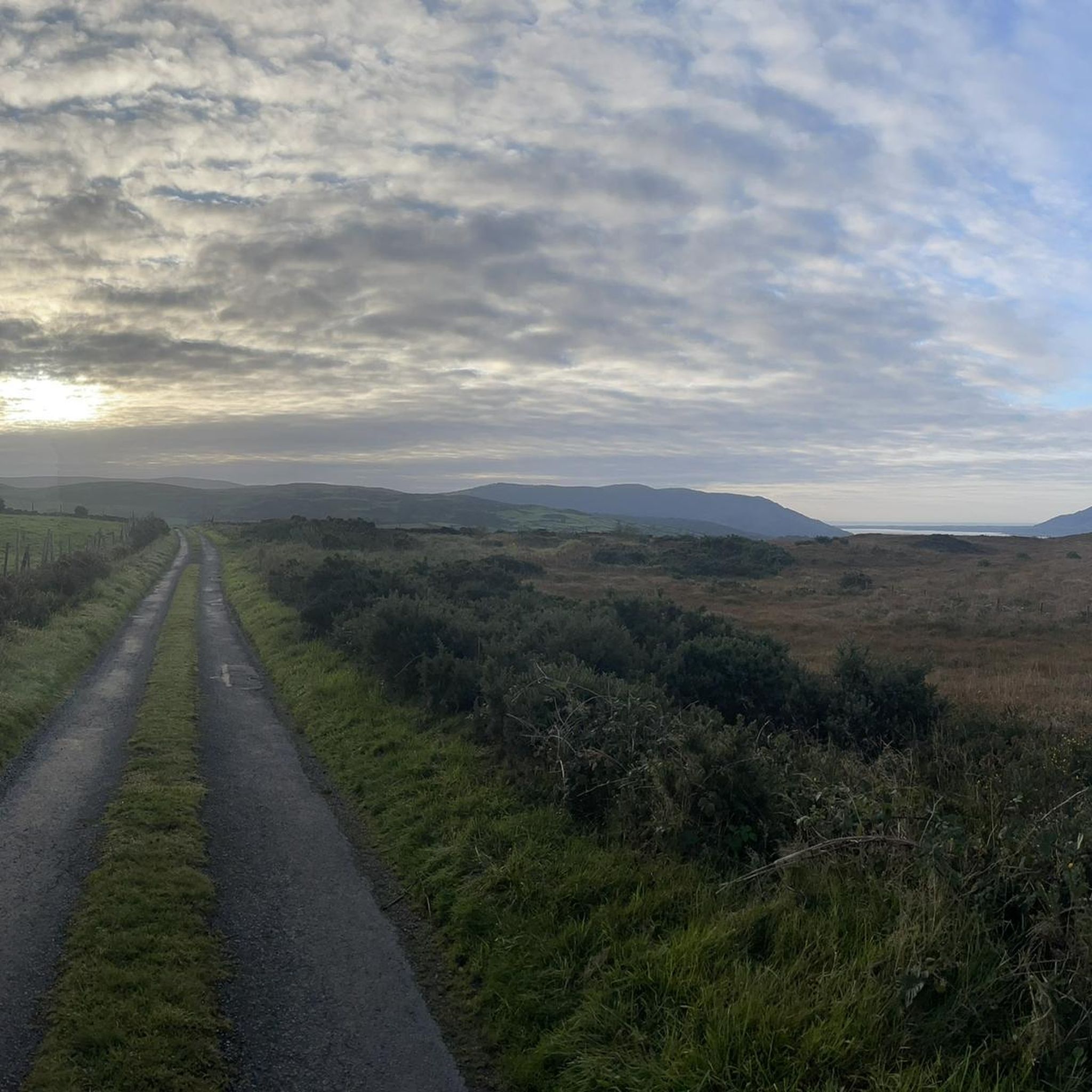
De An Bealach Glas (The Greenway) is a stunning, traffic-free greenway that connects Newry to the monumental Victoria Lock. This 6-kilometre-long 'green route' takes you along the tidal river Clanrye and the sea canal, with the impressive peaks of the Mourne Mountains to your left and Cooley Mountains to your right.
6
0
Once you leave the city of Newry behind, you cycle towards tranquility on An Bealach Glas, also known as the Carlingford Lough Greenway. This flat, smoothly asphalted path follows the banks of the canal and offers spectacular views of the river's mudflats along the way, where you can spot numerous wading birds and sometimes even a stray seal. The route is a true sensory experience: the salty sea air blows towards you while the mountains seem to get closer and closer. The absolute endpoint of this section is the historic Victoria Lock, an impressive lock complex from 1850 that marks the transition from the canal to the open waters of Carlingford Lough. It is the perfect place to get some fresh air and enjoy the maritime dynamics before continuing your journey to the coast.
6
0
De An Bealach Glas (The Greenway) is a beautiful, traffic-free cycle path connecting Newry to the monumental Victoria Lock. This 6-kilometer-long 'green route' takes you along the tidal river Clanrye and the sea canal, with the impressive peaks of the Mourne Mountains to your left and Cooley Mountains to your right.
5
0

The Carlingford Lough Greenway has a special atmosphere as you walk along this section of Newry. With the Newry Ship Canal to your left and the Newry River to your right, you're in the middle of two worlds. The calm waters of the canal reflect the sky, making the surroundings seem almost like a backdrop, while the riverbank on the other side is lush with greenery and wild flowers. The narrow path takes you past flowering gorse and you can smell the scent of the vegetation in the air. It's a route that has its charms in every season, whether it's clear skies or when grey clouds hang low and make the water seem almost mystical. The Greenway is perfect for a leisurely stroll or a leisurely bike ride, enjoying being close to nature - an ideal place to clear your head.
1
0

Fantastic mural on the side of the old Carlingford Bay hotel. By street artist Faunagraphics.
0
0

This church is relatively modern, as it was built between 1911 and 1916. It features a Romanesque design and serves as the Parish Church of Killeavy Upper in the Archdiocese of Armagh.
1
0
This is an impressive section of the Carlingford Lough Greenway as you arrive in Newry. The feeling is incredible as you walk along a path where on one side you have the Newry Ship Canal, and on the other, the Newry River.
1
0
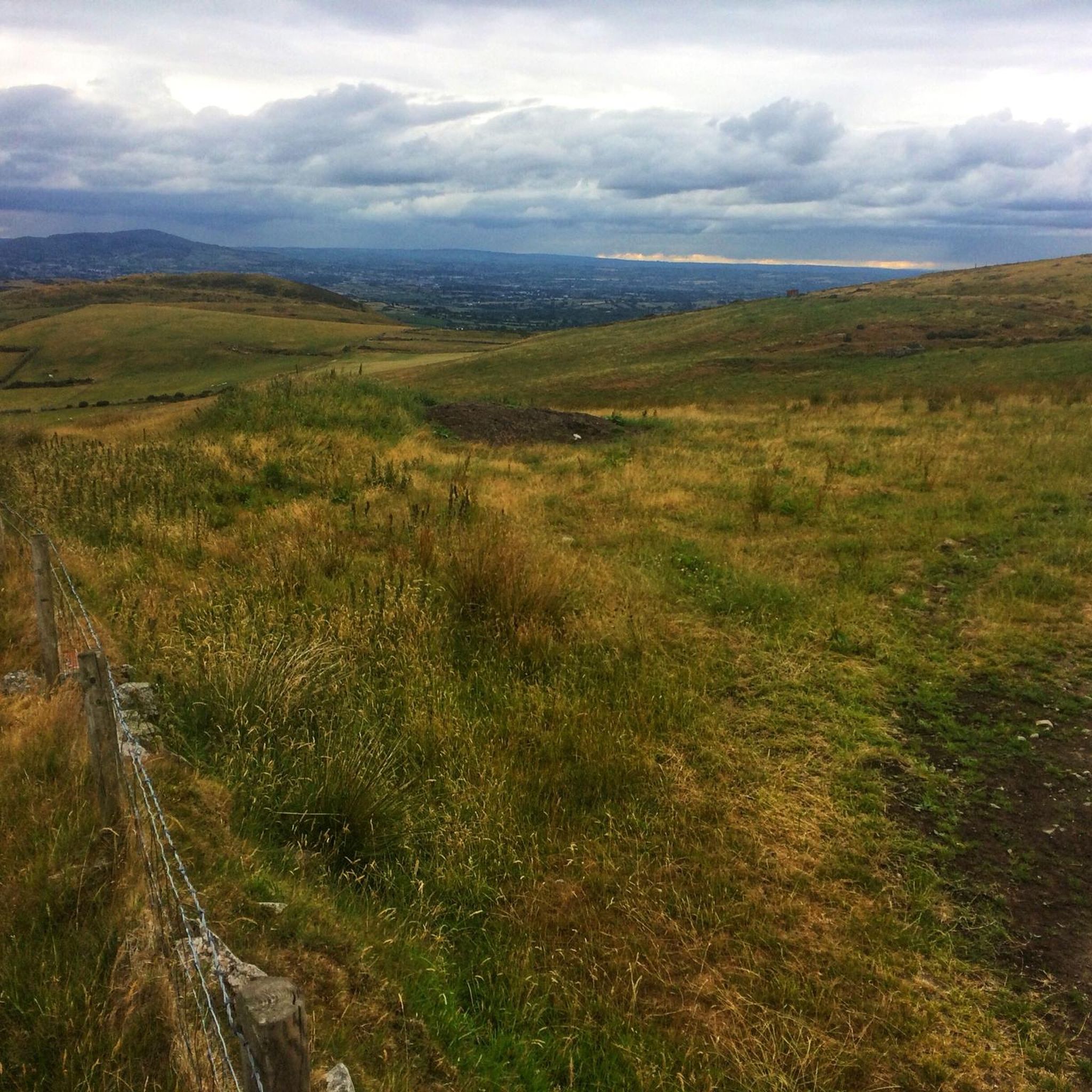
There are great views of Newry City, The Mourne Mountains, Carlingford Lough and The Cooley Moiuntains from up here. Flags were raised here to announce arriving boats coming into the lough, hence the name Flagstaff.
0
0
Frequently Asked Questions
How many running routes are available around Carrickmacstay?
Carrickmacstay and its surrounding area offer a wide selection of running routes, with over 100 trails available. These range from easy paths to more challenging long-distance runs, primarily centered around the expansive Lough Muckno Leisure Park.
Are there easy jogging routes suitable for beginners in Carrickmacstay?
Yes, Carrickmacstay features several easy jogging routes perfect for beginners. For instance, the Kilbroney Park – Fairy Glen loop from Rostrevor is an easy 2.9-mile (4.6 km) trail that winds through scenic parkland, offering a gentle introduction to the area's natural beauty. There are 9 easy routes in total.
What kind of terrain can I expect on the running trails near Carrickmacstay?
The running trails around Carrickmacstay offer diverse terrain. You'll find extensive wooded country and forest trails, serene lakeside paths around Lough Muckno, and gently rolling hills characteristic of the drumlin landscape. Lough Muckno Leisure Park, in particular, provides varied surfaces suitable for different running preferences.
Are there any circular jogging routes in the Carrickmacstay area?
Yes, many of the jogging routes around Carrickmacstay are circular, allowing you to start and finish at the same point. For example, the Fairy Glen – Forest Trail in Mourne AONB loop from Rostrevor is a 9.5-mile (15.4 km) circular trail leading through dense forest and open countryside.
What natural features or landmarks can I see while jogging in Carrickmacstay?
Jogging in Carrickmacstay offers views of Lough Muckno, County Monaghan's largest lake, and its islands like Black Island and White Island. The wider region features picturesque rolling hills and wooded areas. You can also explore nearby attractions such as the Cloughmore Stone or the Kilbroney Park.
Are the running routes in Carrickmacstay suitable for families or those with dogs?
Lough Muckno Leisure Park, which defines much of the running experience in Carrickmacstay, is generally family-friendly with various trails. Many trails are also suitable for dogs, though it's always advisable to check local signage for specific rules regarding leashes or restricted areas within the park. The diverse terrain offers options for different activity levels.
What do other runners say about the jogging routes in Carrickmacstay?
The running routes in Carrickmacstay are highly regarded by the komoot community, boasting an impressive average rating of 4.9 stars from over 19 reviews. Runners often praise the varied terrain, the serene lakeside paths, and the beautiful wooded country, making it a popular destination for outdoor enthusiasts.
Is there public transport access to the jogging areas around Carrickmacstay, particularly Lough Muckno Park?
While specific public transport routes directly to all trailheads might vary, Lough Muckno Leisure Park, a central hub for jogging in the area, is located in Castleblayney. For detailed information on public transport options to Lough Muckno Park, it's best to consult local transport services or resources like Monaghan Tourism.
Where can I find parking for the running trails in Carrickmacstay?
Parking is generally available at key access points for the running trails, especially within Lough Muckno Leisure Park. As the park is a primary destination for outdoor activities, it provides facilities for visitors. It's recommended to check specific trailhead information or park maps for designated parking areas.
Are there any challenging long-distance running options in Carrickmacstay?
Absolutely. For experienced runners seeking a challenge, Carrickmacstay offers several difficult routes. The Carlingford Lough Greenway and Ring of Gullion Loop, for example, is a difficult 10.9-mile (17.6 km) path with significant elevation gain, providing a strenuous workout and expansive views. There are 45 difficult routes in the area.
Can I find cafes or places to eat near the jogging routes in Carrickmacstay?
Given Carrickmacstay's proximity to Castleblayney and Lough Muckno Leisure Park, you can expect to find cafes, pubs, and other dining options in the nearby towns. The park itself is a versatile destination, and surrounding areas will offer amenities for refreshments after your run.
What is the best time of year to go jogging in Carrickmacstay?
Lough Muckno Leisure Park and its trails are accessible year-round, making Carrickmacstay suitable for jogging in any season. The wooded country and lakeside paths offer different charms throughout the year, from lush greenery in spring/summer to crisp air and changing colors in autumn. Always check local weather conditions before heading out.
Most popular attractions around Carrickmacstay

Get inspired with the komoot mobile app


Explore more
Browse the best Running Trails & Routes in other regions.
