The 7 Most Amazing Peaks around Gargarry
Best mountain peaks around Gargarry are found in the surrounding region of County Down, Ireland. While Gargarry itself is a small townland, the nearby area offers several significant elevated landforms for exploration. This guide highlights 7 peaks, providing opportunities for various hiking routes and views. These routes offer diverse experiences for those seeking to explore the natural landscape.
Best mountain peaks around Gargarry
- The most popular mountain peaks is Slieve Bearnagh, a viewpoint that gets its name from its…
Last updated: July 1, 2026
Slieve Bearnagh
Highlight • Viewpoint
Tip by

Slieve Croob Summit
Highlight • Viewpoint
Tip by

Sign up now to discover places like this
Get recommendations on the best single tracks, peaks, & plenty of other exciting outdoor places.
Sign up for free
Slieve Meelmore summit shelter
Highlight • Historical Site
Tip by
Stone tower and cairn on the summit of Slieve Donard
Highlight • Summit
Tip by

Spaltha
Highlight • Viewpoint
Tip by

Sign up for free to discover even more peaks around Gargarry.
Sign up for free
Already have an account?
Start today with a free account
Your next adventure awaits.
Login or Signup

Tips from the Community

Reaching the summit of Slieve Donard feels like stepping into a small, timeless world. There, the stone tower and cairn stand quietly... a simple yet powerful landmark marking the peak of Northern Ireland’s highest mountain. This spot offers more than panoramic views across the Mournes, it anchors the moment, inviting you to pause and reflect on your journey.
1
0
On the summit of Slieve Meelmore stands a small stone shelter, a welcome spot to rest after the steady climb up. From here, the views stretch across the Mournes, with Slieve Bearnagh’s rocky tors dominating the skyline. The shelter gives hikers a place to pause, shielded from the wind, and enjoy the sweeping mountain scenery before continuing along the Mourne Wall.
3
0

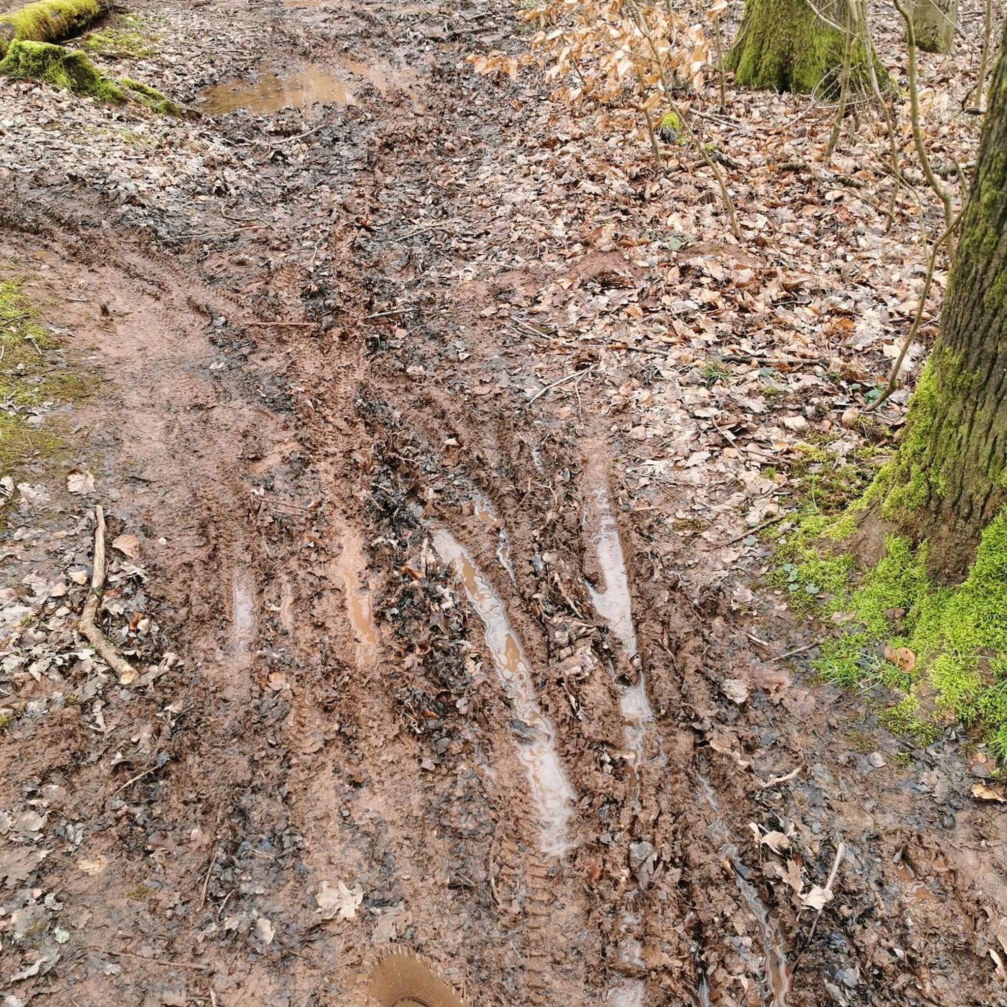
A very nice path up to Spaltha. BUT!! This is NOT a circular route! Muddy meadows and moors, but on the Komoot route, there is NO path anywhere! We wandered around and then found parts of an official hiking trail, but mostly we wandered over moors. Be careful!!
0
0

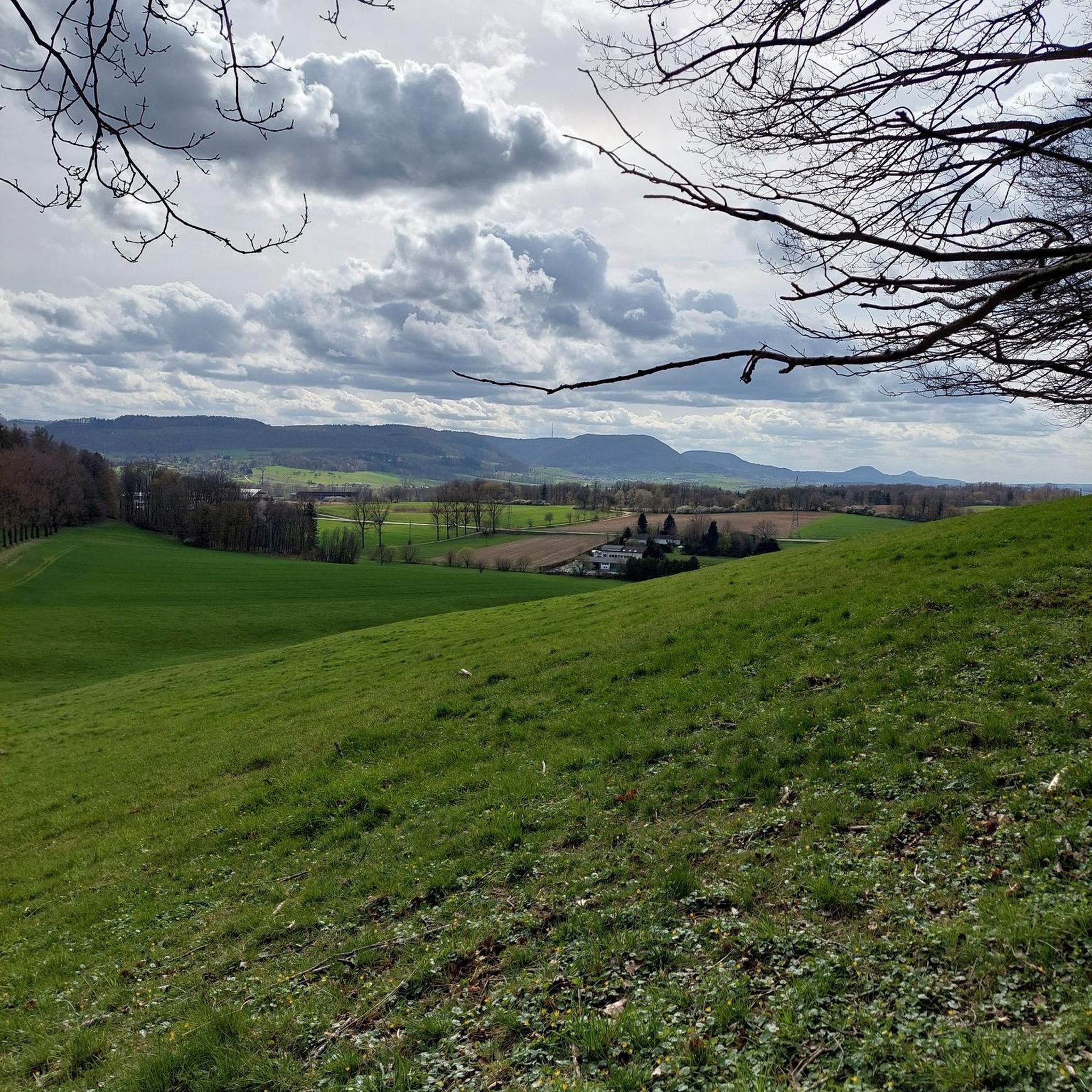
Slieve Croob stands at 534m and is the highest peak of the Dromara Hills, situated just north of the Mourne Mountains. From the summit, you can enjoy expansive views across County Down and toward the Mourne mountain range, a designated Area of Natural Beauty.
2
0

This is a great little walk around 4 smaller hills in The Mournes.
0
0

what a great day spent up slieve croob weather was fabulous.. handy enuff on a nice path even saw a few cyclists 👍
0
1

The Mourne Wall leads to the summit and there, like Slieve Donard, is a tower probably built to give some shelter to the workmen who constructed the wall. Meelmore also has what appears to be an old stonemasons hut at J302285 with plenty of part cut stone on its periphery showing that Meelmore was likely another spot that materials were gathered for the Mourne Wall. (https://www.mourne-mountains.com/mournes/mountains/slieve-meelmore/)
4
0
Slieve Bearnagh from the Irish “Sliabh Bearna” meaning “Gapped Mountain” gets its name from its two giant rocky tors and the col lying between them. It is the 4th highest in the range and another 700m+ peak carrying the Mourne Wall with saddles at Pollaphuca to the West and Hares Gap to the East. It is most accessible starting from the Cecil Newman Car Park and following the Trassey Track up and over Hares Gap, turning right and climbing the steps to meet the Mourne Wall which you follow to both summits. The final climb is steep requiring some hands and knees type scrambling. If doing a circular route descending from the North Tor (680m / J315282) to Pollaphuca is also extremely steep so care is required. (https://www.mourne-mountains.com/mournes/mountains/slieve-bearnagh/)
3
0
Frequently Asked Questions
What are some of the most notable mountain peaks to explore around Gargarry?
The region around Gargarry, specifically in County Down, Ireland, offers several significant peaks. Among them, Slieve Bearnagh stands out as the 4th highest in its range, known for its two giant rocky tors. Another must-see is Slieve Croob Summit, offering expansive views across County Down and towards the Mourne mountain range. For a historical touch, visit Slieve Meelmore summit shelter, which provides a unique resting spot with sweeping mountain scenery.
Are there challenging climbs for experienced hikers near Gargarry?
Yes, the area around Gargarry is known for challenging climbs. Slieve Bearnagh is categorized as challenging and involves some hands-and-knees scrambling for its final ascent. The climb to Slieve Croob Summit is also considered tough, offering a rewarding experience for those seeking a strenuous hike.
What kind of natural monuments or unique geology can I find on these peaks?
The peaks around Gargarry feature interesting natural formations. Slieve Bearnagh is named the 'Gapped Mountain' due to its distinctive two giant rocky tors and the col between them. The Mourne Wall, an impressive dry-stone wall, also traverses some of these peaks, adding a man-made monument to the natural landscape.
Are there any historical sites on the mountain peaks around Gargarry?
Yes, Slieve Meelmore summit shelter is a notable historical site. On its summit, you'll find a small stone shelter, believed to have been built to provide refuge for the workmen who constructed the Mourne Wall. There's also evidence of an old stonemason's hut nearby, suggesting it was a site for gathering materials for the wall.
What are the best viewpoints for panoramic scenery in the Gargarry area?
For breathtaking panoramic views, Slieve Croob Summit is an excellent choice, offering expansive vistas across County Down and towards the Mourne mountain range. The summit of Slieve Donard, Northern Ireland's highest mountain, also provides unparalleled views across the Mournes.
What outdoor activities can I do near these mountain peaks?
Beyond hiking the peaks themselves, the region around Gargarry offers a variety of outdoor activities. You can find numerous hiking trails, including moderate routes like the Slievenaslat Summit loop. For cyclists, there are cycling routes ranging from easy to difficult, and mountain biking enthusiasts can explore MTB trails in the area.
Are there easy mountain walks or beginner-friendly routes near Gargarry?
While some peaks offer challenging climbs, there are also more accessible options. For instance, the area around Dollys Brae Car Park features easy hiking routes like the View of Castlewellan Castle – Castlewellan Lake loop. For cycling, several easy routes are available, such as the View of Castlewellan Castle – Abandoned Ice House loop from Leitrim.
What do visitors enjoy most about hiking the peaks around Gargarry?
Visitors frequently praise the scenic beauty and the sense of accomplishment. Many enjoy the 'scenic delight' of routes that incorporate the Mourne Wall, as mentioned by a visitor to Slieve Bearnagh. The expansive views from summits like Slieve Croob are also a major highlight, especially on clear days.
Can I find circular hiking trails in the mountains near Gargarry?
Yes, there are circular hiking trails available. While some routes, like the one involving Spaltha, may have sections that are less defined, the general area offers various loops. For example, the Slievenaslat Summit – View of Castlewellan Castle loop is a moderate circular option.
What is the highest mountain peak in the region around Gargarry?
The highest mountain in the region, and indeed Northern Ireland, is Slieve Donard. Reaching its summit, marked by a stone tower and cairn, offers a profound sense of achievement and extensive views.
Are there any facilities or shelters on the mountain peaks?
Yes, some peaks offer facilities. On the summit of Slieve Meelmore, you'll find a small stone shelter, which is a welcome spot to rest and shield from the wind after the climb. Similarly, Slieve Donard's summit features a stone tower and cairn, providing a landmark and a place to pause.
What kind of terrain can I expect when hiking these peaks?
The terrain varies across the peaks. You can expect well-defined paths on some sections, but also steep ascents requiring scrambling, as seen on Slieve Bearnagh. Other areas, particularly off official trails, might involve muddy meadows and moors, so appropriate footwear is essential.
Most popular attractions around Gargarry

Get inspired with the komoot mobile app


Explore more
See even more amazing summits around Gargarry with these guides:
