The best running trails around Carnew
4.7
(6)
123
runners
13
runs
Jogging routes around Carnew offer access to the serene natural beauty of County Wicklow, Ireland. The region is characterized by its proximity to the Wicklow Mountains, providing diverse terrain from gentle slopes to more challenging ascents. Runners can explore a network of quiet country roads and lanes, as well as forested areas that contribute to varied running surfaces. This area provides a peaceful rural setting for outdoor activities, combining scenic beauty with opportunities for active recreation.
Best jogging routes around…
Last updated: June 29, 2026
12
runners
Moderate run. Good fitness required. Mostly paved surfaces. Suitable for all skill levels.
9
runners
6.16km
00:38
50m
50m
Moderate run. Good fitness required. Mostly paved surfaces. Suitable for all skill levels.

Sign up for free
5
runners
10.2km
01:16
370m
370m
Hard run. Very good fitness required. Mostly paved surfaces. Suitable for all skill levels.
4
runners
8.55km
00:54
80m
80m
Moderate run. Good fitness required. Mostly paved surfaces. Suitable for all skill levels.
7
runners
7.43km
01:00
320m
320m
Hard run. Very good fitness required. Mostly paved surfaces. Suitable for all skill levels.
Get access to more routes and recommendations from other explorers.
Sign up for free
Already have an account?
Our route recommendations are based on thousands of hikes, rides, and runs completed by other people on komoot.
Start today with a free account
Your next adventure awaits.
Login or Signup
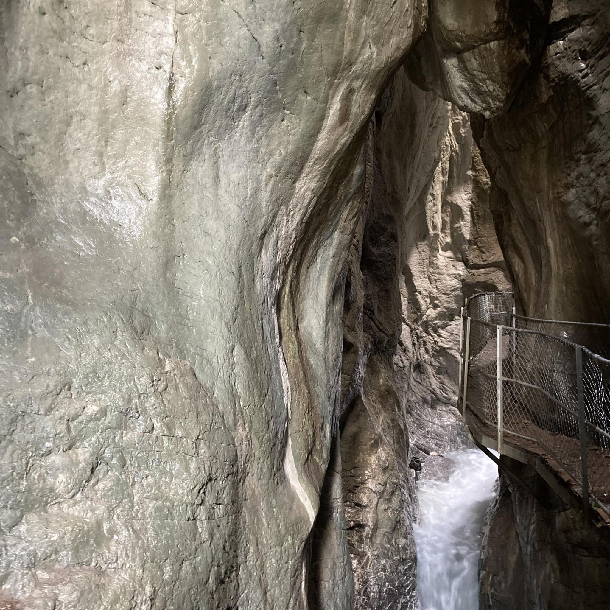
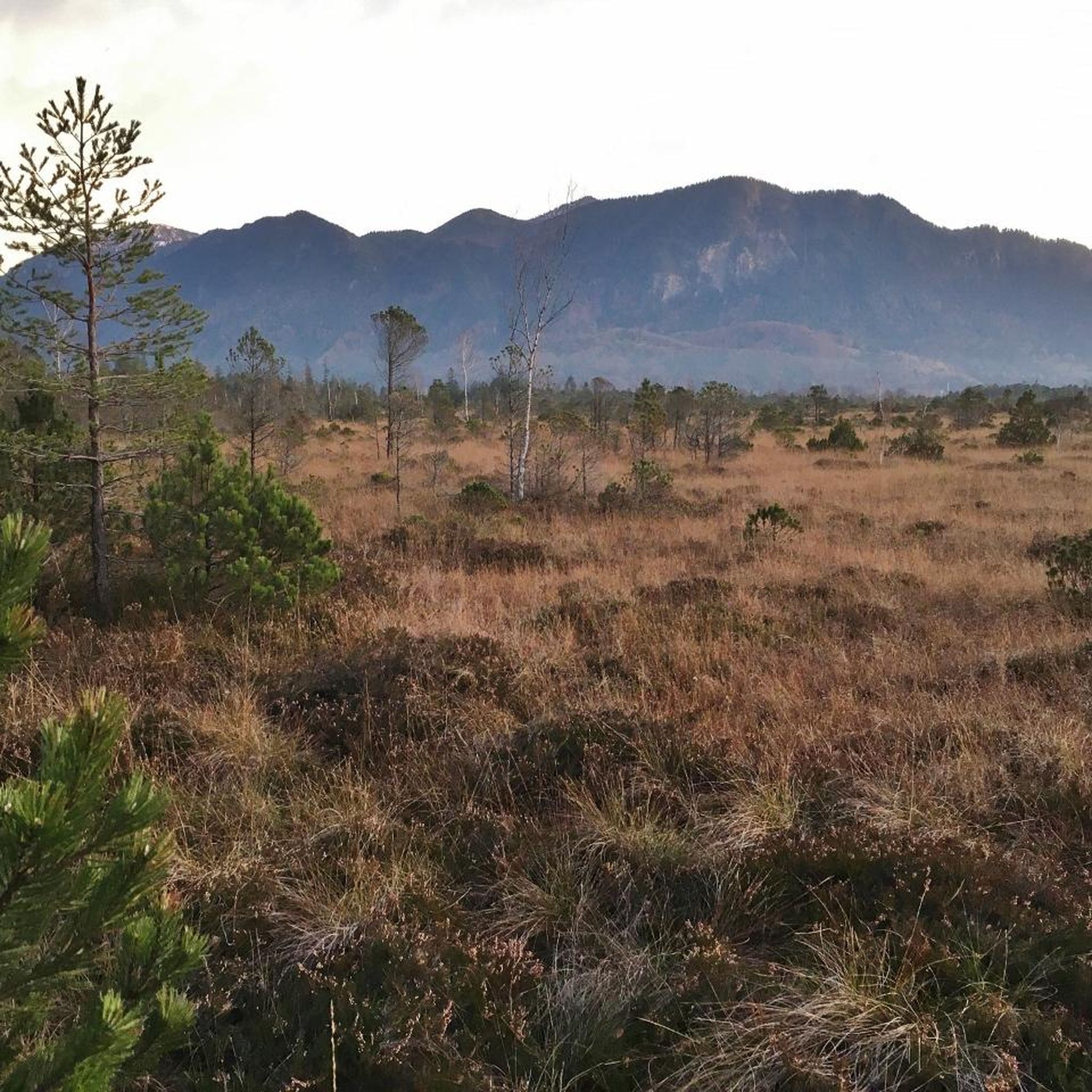
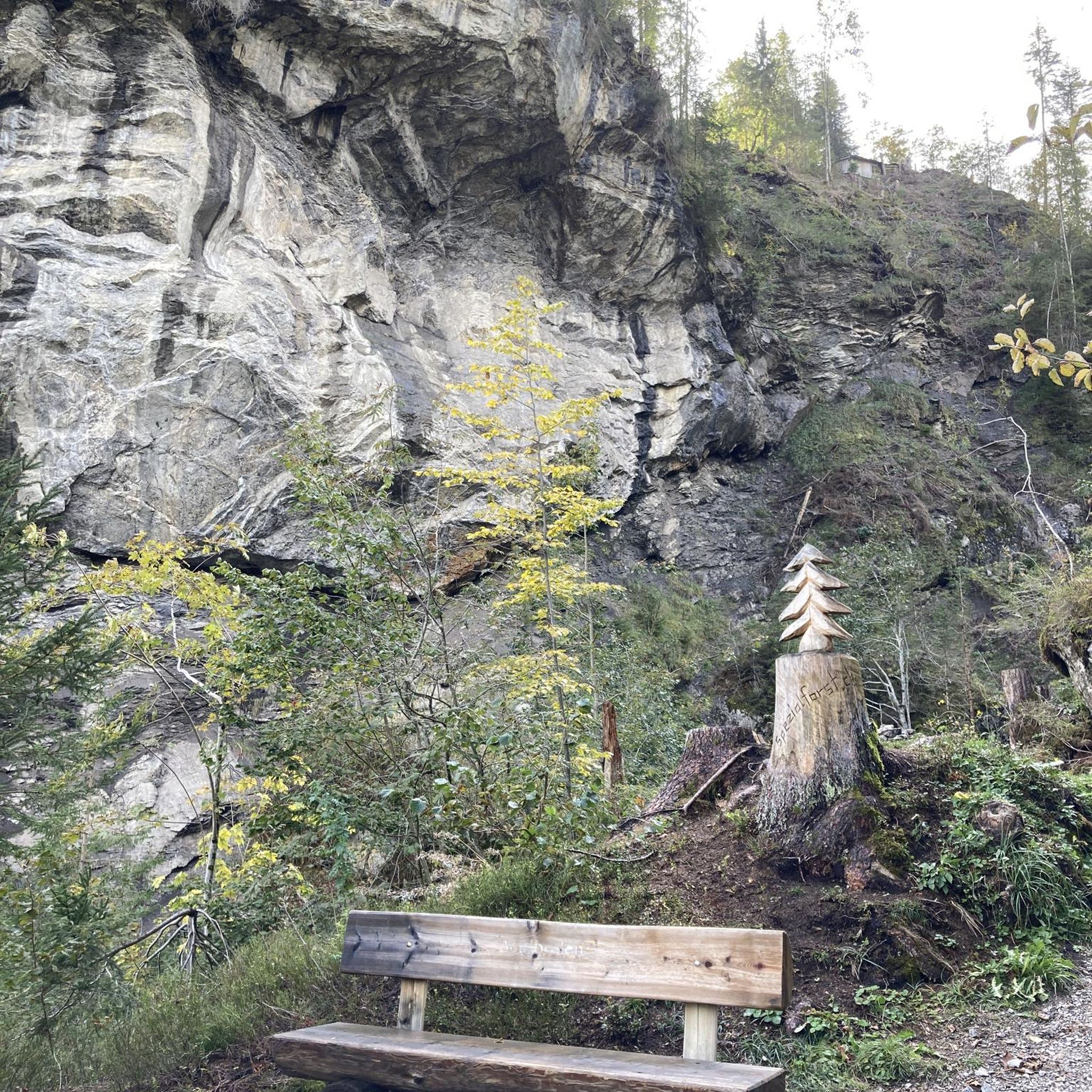
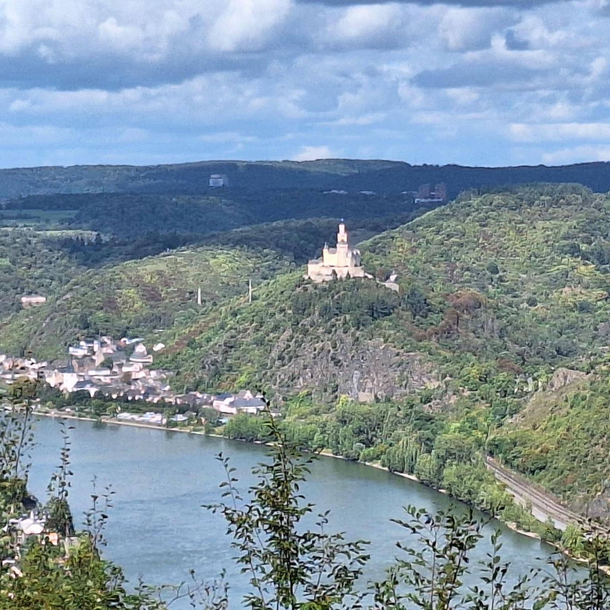
Tips from the Community

Heading towards Dromara is difficult from the very start. Easier start if heading towards Belfast and Ballynahinch.
0
0

A winding path will lead you past a number of telecommunication towers up to the summit of Slieve Croob. There's some great views on offer here across County Down to the wonderful Mourne mountain range.
1
0
Slieve Croob stands at 534m and is the highest peak of the Dromara Hills, situated just north of the Mourne Mountains. From the summit, you can enjoy expansive views across County Down and toward the Mourne mountain range, a designated Area of Natural Beauty.
2
0

Good views and the most obvious spot to stop at the top of Dree hill, on the edge of Mourne AONB.
0
0

what a great day spent up slieve croob weather was fabulous.. handy enuff on a nice path even saw a few cyclists 👍
0
1

Tough climb to the summit, try and go on a clear day to get the best veiws.
1
0
Frequently Asked Questions
What kind of terrain can I expect on running routes around Carnew?
Running routes in Carnew primarily feature quiet country roads and lanes, offering a serene environment. You'll also find varied forest paths and the distant, inspiring backdrop of the Wicklow Mountains. The terrain is generally suitable for a range of abilities, from casual jogs to more challenging runs.
Are there any dedicated, marked running paths in Carnew?
Yes, Carnew offers official 'Slí na Sláinte' routes, which are marked, looped paths on country roads and lanes. These are ideal for tracking your distance and enjoying a clear, designated route. Examples include the 3.8 km Bells Lane Slí na Sláinte and the 4.1 km The Brook Slí na Sláinte, both suitable for various fitness levels.
What are the difficulty levels of the running routes near Carnew?
The majority of running routes around Carnew are classified as moderate, providing a good workout without being overly strenuous. There are also a few more difficult options for experienced runners seeking a greater challenge, such as the Slieve Croob Summit Path, which features significant elevation gain.
Can I find family-friendly running routes in the Carnew area?
Absolutely. Many of Carnew's routes, particularly the Slí na Sláinte paths like Bells Lane and The Brook, are on quiet country roads and lanes with gentle elevations, making them suitable for families and casual joggers. These routes provide a safe and enjoyable environment for all ages.
Are there any dog-friendly running trails around Carnew?
While specific dog-friendly designations aren't always marked, the network of quiet country roads, lanes, and forest paths around Carnew are generally welcoming for runners with dogs, provided they are kept under control and any local signage regarding livestock or protected areas is respected. Always ensure your dog is on a leash where required.
What natural features or landmarks can I see while running near Carnew?
The Carnew area offers beautiful natural scenery, including views towards the Wicklow Mountains and access to tranquil woodlands. While running, you might encounter local landmarks or enjoy expansive views. For example, the Slieve Croob Summit Path offers panoramic views across the countryside. You can also explore areas like Drumkeeragh Forest for a refreshing atmosphere.
How many running routes are available in the Carnew region?
There are over 15 running routes available around Carnew, offering a variety of distances and difficulty levels to suit different preferences. This includes a mix of moderate and more challenging trails.
What do other runners say about jogging in Carnew?
The running routes in Carnew are highly rated by the komoot community, with an average score of 4.7 stars. Runners often praise the peaceful rural setting, the varied terrain from quiet roads to forest paths, and the beautiful natural backdrop of County Wicklow.
Are there any circular running routes in Carnew?
Yes, many of the running routes around Carnew are circular, allowing you to start and finish at the same point. The official Slí na Sláinte routes, such as Bells Lane and The Brook, are specifically designed as looped paths. Other popular circular options include the Dromore Castle loop.
Is there public transport access to running routes in Carnew?
Carnew is a rural village, and while local bus services connect it to larger towns, direct public transport to specific trailheads might be limited. It's often best to plan your journey by car or check local bus schedules for stops near the village center, from where many routes are accessible.
Where can I find parking for running trails in Carnew?
Parking is generally available in Carnew village itself, from where many routes, including the Slí na Sláinte paths, begin. For specific trailheads further afield, roadside parking might be an option, but it's always advisable to check local regulations and ensure you're not obstructing access.
What is the best season for running in Carnew?
Carnew offers enjoyable running conditions throughout much of the year. Spring and autumn provide pleasant temperatures and beautiful scenery with changing foliage. Summer is also great, though it can be warmer. Winter running is possible, but be mindful of potentially wet or icy conditions on paths and roads, especially at higher elevations.
Are there cafes or pubs near the running routes in Carnew?
Carnew village has local amenities, including cafes and pubs, where you can refresh yourself before or after your run. Some routes, like the Right Turn – Barrel Le Bean Café loop, even incorporate local establishments into their names, suggesting convenient stops.
Most popular routes around Carnew
Most popular attractions around Carnew

Get inspired with the komoot mobile app


Explore more
Browse the best Running Trails & Routes in other regions.
