The best running trails around Unterspreewald
4.7
(103)
848
runners
50
runs
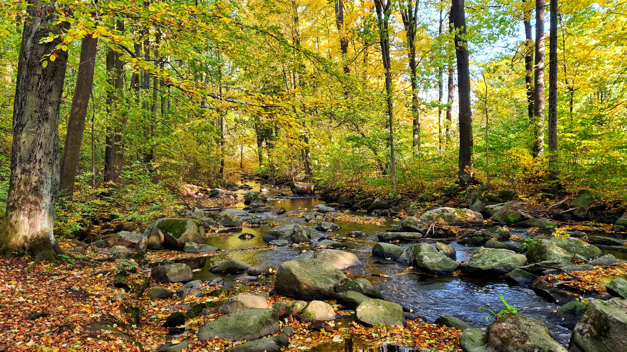
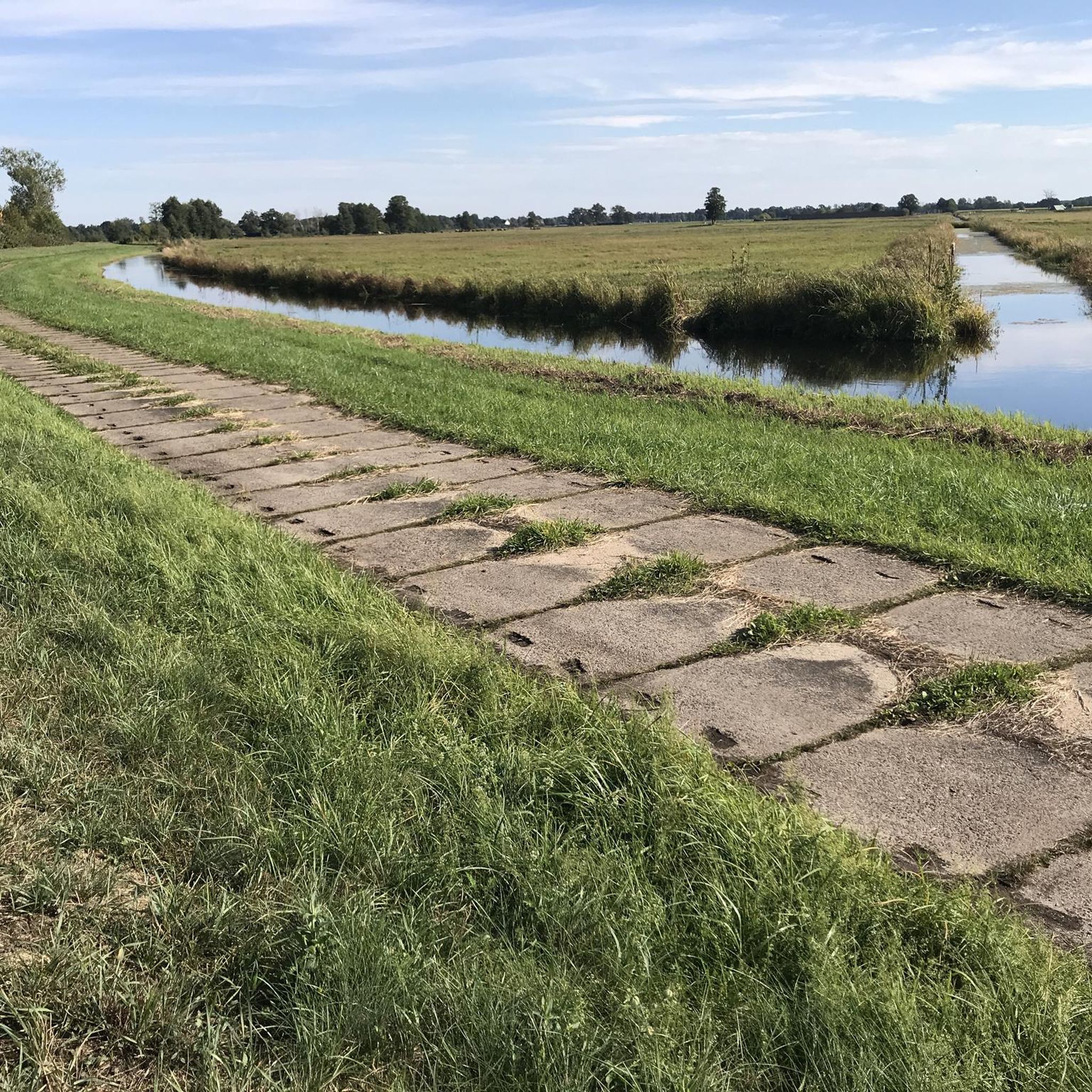
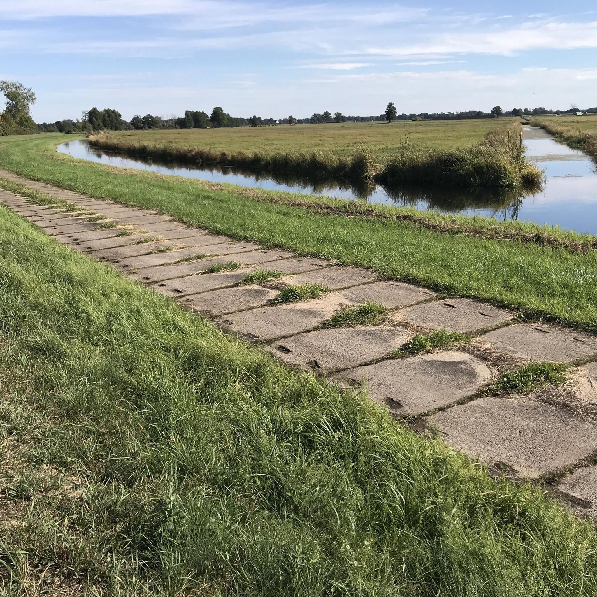
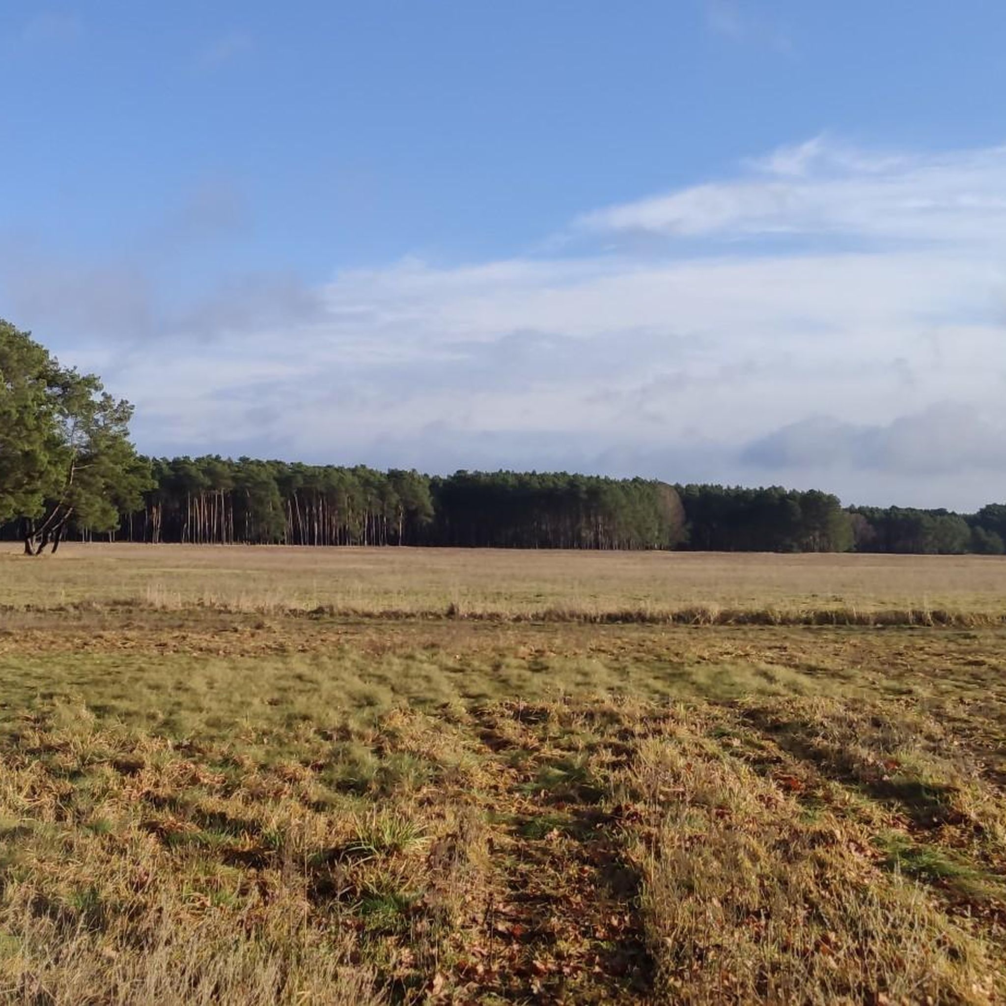
Jogging routes around Unterspreewald traverse a unique inland delta within the UNESCO Biosphere Reserve, characterized by an intricate network of over 200 canals and extensive floodplains. The terrain is predominantly flat, offering generally easy running conditions through diverse landscapes of alder and pine forests. This region provides a tranquil environment for runners, with routes often following waterways and passing by fish ponds and lakes.
Best jogging routes around Unterspreewald
- The most popular jogging route is Neuendorfer See – Raatsch Deer…
Last updated: September 30, 2026
5.0
(6)
40
runners
12.2km
01:18
30m
30m
Moderate run. Good fitness required. Mostly paved surfaces. Suitable for all skill levels.
5.0
(5)
39
runners
13.0km
01:27
30m
30m
Moderate run. Good fitness required. Mostly paved surfaces. Suitable for all skill levels.

14
runners
Moderate run. Good fitness required. Mostly paved surfaces. Suitable for all skill levels.
5.0
(1)
5
runners
Moderate run. Good fitness required. Mostly accessible paths. Some sure footedness required.
5.0
(1)
7
runners
7.76km
00:48
10m
10m
Moderate run. Good fitness required. Mostly paved surfaces. Suitable for all skill levels.
Get access to more routes and recommendations from other explorers.
Already have an account?
Our route recommendations are based on thousands of hikes, rides, and runs completed by other people on komoot.
Start today with a free account
Your next adventure awaits.
Other adventures around Unterspreewald

Tips from the Community

A video hike around Lake Godnasee https://youtu.be/ckosgIm_-FM
0
0

Rest area at Neuendorfer See is near Waldcamp-Seeblick.
0
0
View over Lake Neuendorf. The lake is located in the Spreewald Biosphere Reserve.
0
0


Super cute young deer and other game in a spacious enclosure are very used to people and are only too happy to be fed. Please be careful not to give them anything that isn't good for them...
2
0

It is a beautiful and quiet route with some cycle paths
0
0

The village coat of arms of Alt-Schadow. You can also take a break on the square behind.
0
0

There are very tasty homemade soups from the goulash cannon. Also different drinks. Very pleasant atmosphere
0
0
Frequently Asked Questions
What is the typical terrain like for running in Unterspreewald?
The terrain in Unterspreewald is predominantly flat, making for generally easy running conditions. You'll find routes winding through an intricate network of canals, extensive floodplains, and diverse forests, including alder on wetlands and pine on drier areas. Some paths feature good asphalt surfaces, while others traverse natural forest floors. For those seeking slightly more varied terrain, the Calauer Schweiz area offers a more 'mountain character' with slopes and gorges.
Are there running routes suitable for beginners in Unterspreewald?
Yes, Unterspreewald offers several running routes ideal for beginners. The region's generally flat landscape, characterized by its tranquil waterways and forests, provides an excellent environment for easy runs. Out of the 52 routes available, 5 are specifically rated as easy, with many moderate options also being accessible for those looking for a slightly longer but still manageable run.
What kind of distances can I expect on the running trails in Unterspreewald?
Running trails in Unterspreewald vary in distance, catering to different preferences. Many popular routes, such as the Neuendorfer See – Raatsch Deer Enclosure loop from Sölla, are around 7-8 miles (11-13 km) long, typically taking 1 to 1.5 hours to complete. There are also shorter and longer options available among the total of 52 routes in the region.
Are there many circular running routes available in Unterspreewald?
Yes, circular routes are a prominent feature of running in Unterspreewald. Many of the popular trails, including the War Memorial Alt-Schadow – Neuendorfer See loop from Josinsky-Luch and the War Memorial Alt-Schadow – Lake Godnasee loop from Josinsky-Luch, are designed as loops, allowing you to start and finish at the same point without retracing your steps. This makes for convenient and varied running experiences.
What can I see along the running routes in Unterspreewald?
Jogging routes in Unterspreewald offer a wealth of natural beauty and points of interest. You'll often run alongside the intricate canal system, through diverse forests, and past picturesque fish ponds and lakes. Notable sights include the Spreewald pond landscapes, the Fish Ponds Between Lübben and Schlepzig, and the South Shore of Lake Köthener. Observation towers, such as those at Wehlaberg, also provide panoramic views of the unique landscape.
Are the running trails in Unterspreewald suitable for families?
Many running trails in Unterspreewald are suitable for families, especially those with older children or those who enjoy a leisurely pace. The predominantly flat terrain and tranquil environment make for pleasant outings. Look for the 'easy' rated routes, which are generally shorter and less challenging, perfect for a family jog or walk amidst nature.
Are dogs allowed on the running routes in Unterspreewald?
Unterspreewald, as a UNESCO Biosphere Reserve, generally welcomes dogs on its trails, provided they are kept on a leash to protect the local wildlife and ecosystem. It's always a good idea to check specific local regulations or signage along your chosen route, especially in protected areas or near sensitive habitats.
What do other runners enjoy most about jogging in Unterspreewald?
The komoot community highly rates jogging in Unterspreewald, with an average score of 4.7 stars from over 90 reviews. Runners frequently praise the region's unique natural environment, particularly the tranquil waterways and diverse forests. The well-maintained trails and the opportunity to immerse oneself in a UNESCO Biosphere Reserve are also often highlighted as key attractions.
Are there any specific permits required for running in the Spreewald Biosphere Reserve?
Generally, no specific permits are required for recreational activities like jogging on designated trails within the Spreewald Biosphere Reserve. However, as a protected area, it's crucial to respect nature, stay on marked paths, and adhere to local regulations, especially regarding wildlife protection and waste disposal.
How many running routes are available in the Unterspreewald region?
There are over 50 dedicated running routes available in the Unterspreewald region. These routes offer a variety of experiences, ranging from easy strolls to more moderate challenges, ensuring there's something for every runner to explore within this unique inland delta.
Can I find running routes that are accessible by public transport in Unterspreewald?
While many routes in Unterspreewald are best accessed by car, some trailheads are reachable via public transport, particularly in larger towns like Lübben or Burg (Spreewald). It's advisable to check local bus or train schedules in advance and plan your route accordingly to ensure convenient access to your chosen running trail.
Are there any running routes that pass by lakes or water features?
Absolutely. Unterspreewald is defined by its extensive network of waterways, so many running routes naturally incorporate lakes and canals. You can find beautiful trails around Neuendorfer See and Köthener See, offering scenic views of the water and opportunities to observe local flora and fauna, including many bird species.
What is a good time of year to go jogging in Unterspreewald?
Unterspreewald offers a pleasant jogging experience throughout much of the year. Spring brings lush greenery and blooming nature, while autumn showcases vibrant foliage. Summer is popular, but it's best to run in the cooler morning or late afternoon hours. Winter can also be beautiful, with crisp air and potentially snow-covered landscapes, though some paths might be icy or muddy.
Most popular routes around Unterspreewald
Most popular attractions around Unterspreewald

Get inspired with the komoot mobile app


Explore more
Browse the best Running Trails & Routes in other regions.
