The best running trails around Gartz (Oder)
4.7
(208)
697
runners
69
runs
Jogging around Gartz (Oder) offers diverse terrain along the Oder River within the Uckermark region. The area features extensive riverbanks, tranquil lakes, and numerous forest paths. It is situated within the unique floodplain landscape of the Lower Oder Valley National Park, providing flat sections ideal for running. The landscape is characterized by its blend of waterways and woodlands, offering varied environments for outdoor activity.
Best jogging routes around Gartz (Oder)
- The most popular jogging route is Mescheriner See loop from…
Last updated: August 21, 2026
50
runners
11.7km
01:13
40m
40m
Moderate run. Good fitness required. Mostly paved surfaces. Suitable for all skill levels.
14
runners
5.51km
00:34
0m
0m
Moderate run. Good fitness required. Mostly paved surfaces. Suitable for all skill levels.

Sign up for free
17
runners
20.0km
02:07
110m
110m
Hard run. Very good fitness required. Mostly paved surfaces. Suitable for all skill levels.
8
runners
6.67km
00:43
40m
40m
Moderate run. Good fitness required. Mostly paved surfaces. Suitable for all skill levels.
7
runners
7.69km
00:49
50m
50m
Moderate run. Good fitness required. Mostly paved surfaces. Suitable for all skill levels.
Get access to more routes and recommendations from other explorers.
Sign up for free
Already have an account?
Our route recommendations are based on thousands of hikes, rides, and runs completed by other people on komoot.
Start today with a free account
Your next adventure awaits.
Login or Signup

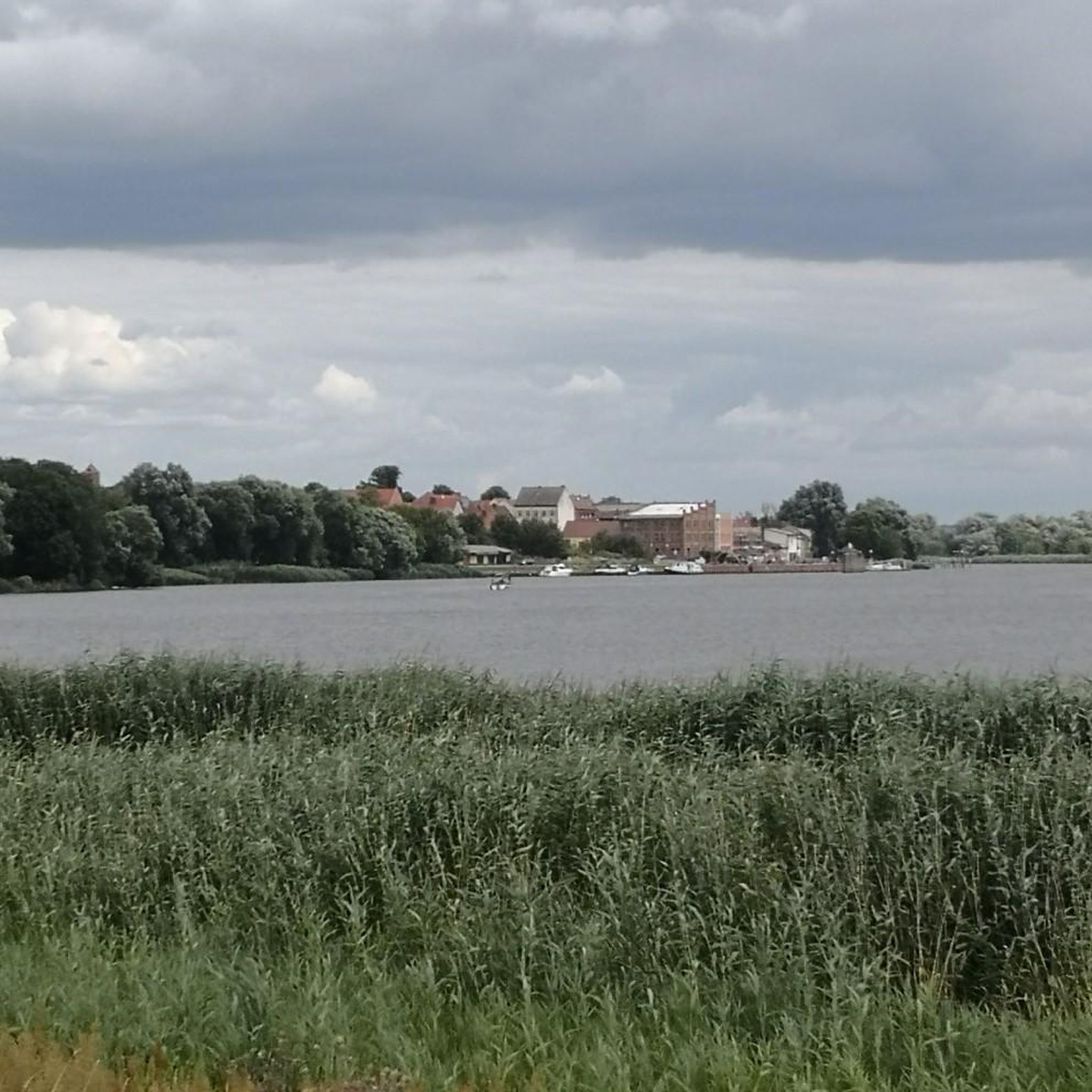
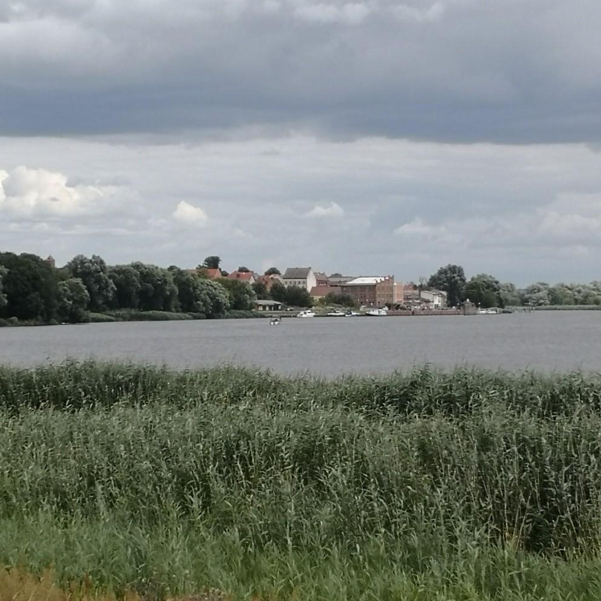
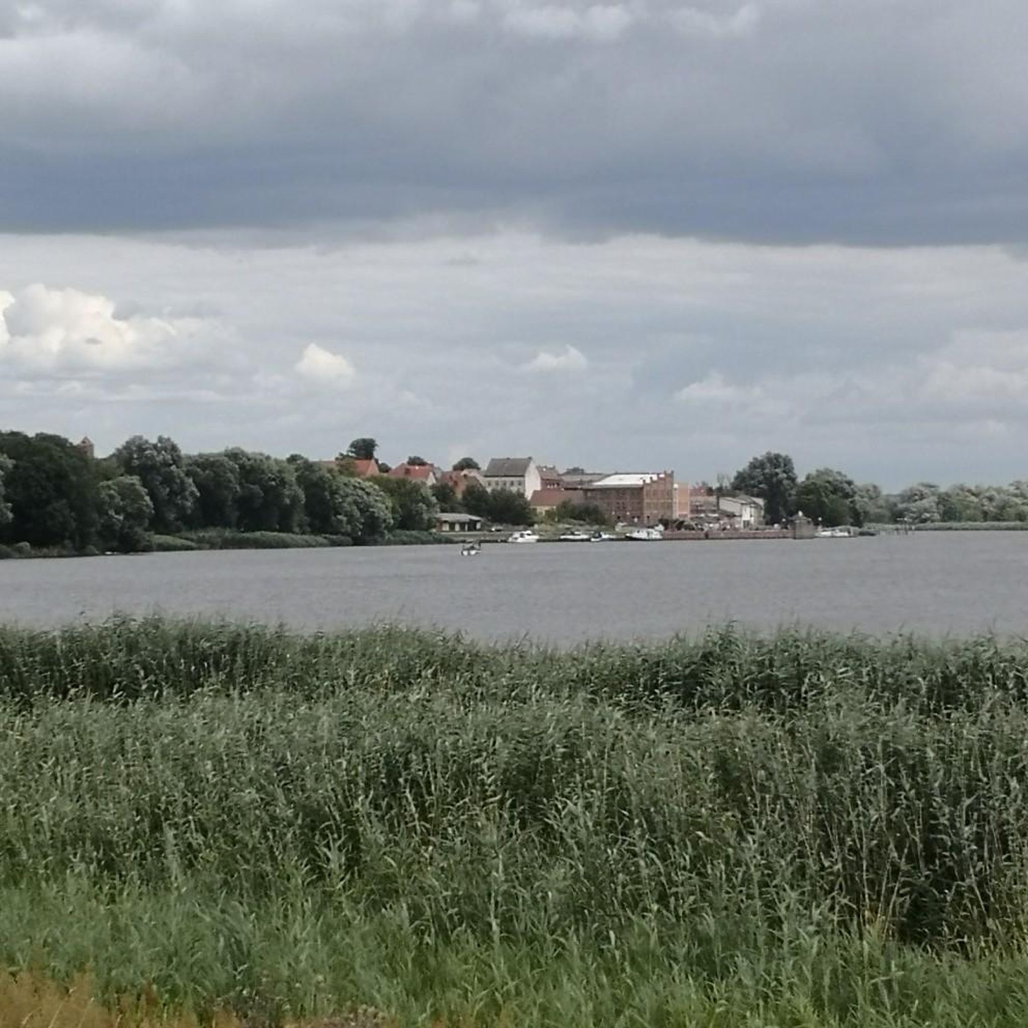
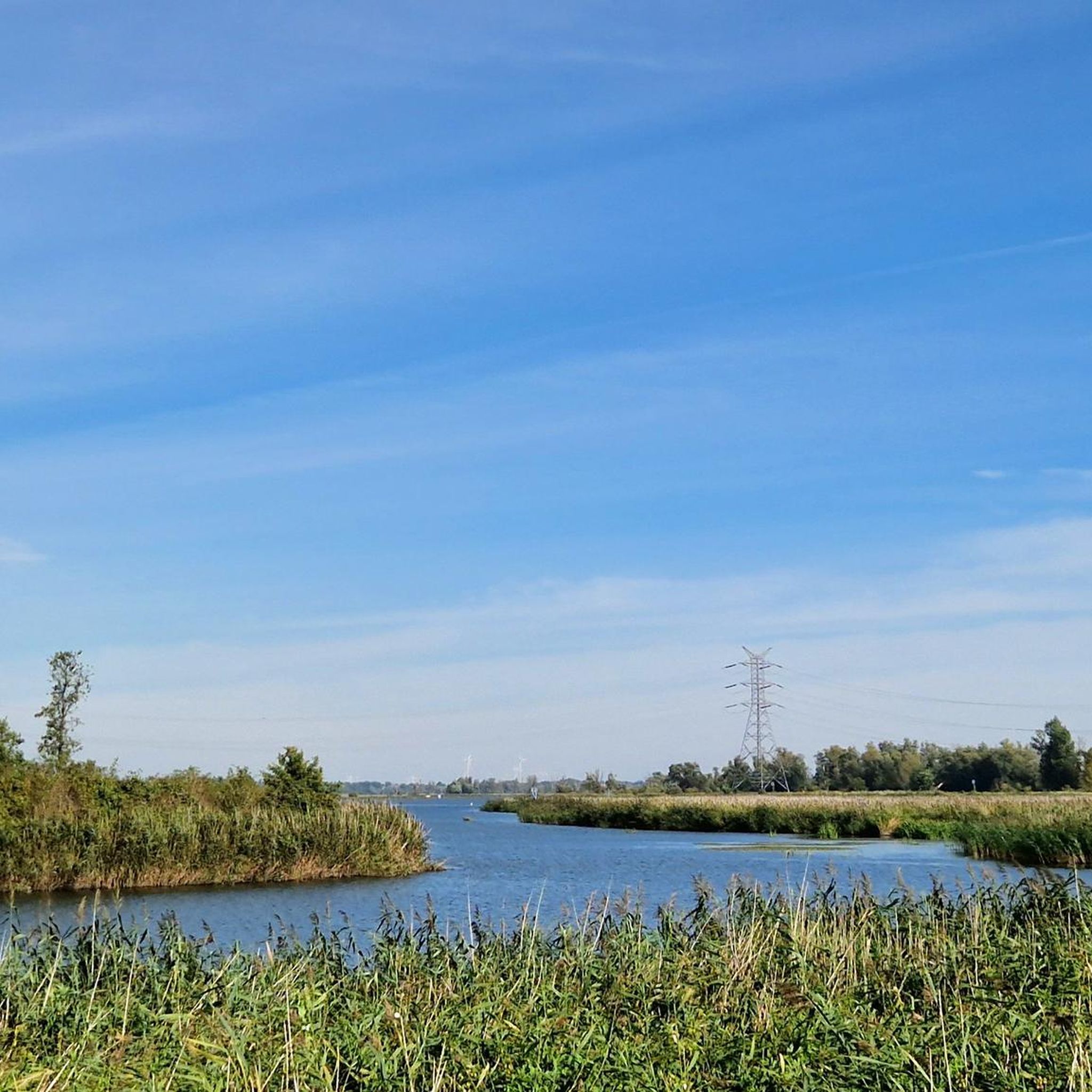
Other adventures around Gartz (Oder)

Tips from the Community


A pleasant section of asphalt bike path
1
0
Start of the asphalt section of the Blue Velo – Odrzańska Trasa Rowerowa trail between Gryfino and Borzymie. The trail runs along the embankment of the former Gryfino–Swobnica railway line, along the Tywa River and surrounding lakes, including Lake Wełtyńskie. The even surface ensures comfortable riding, and by the Tywa River, you can see remnants of old water structures related to the operation of mills and ponds.
1
0
Small lake with a bike path right next to it and a bench for rest.
0
0
The station, originally named Klein Schönfeld, functioned as Ustronie after 1945, and from 1947 until its closure as Chwarstnica. After the war, it was reopened in 1947. The preserved station building from 1895 housed a warehouse, a waiting room, and apartments; today it serves as a residential building.
1
1
The steel bridge, built between 1911–1913, was rebuilt in 1955 after wartime destruction. It is equipped with a lifting span, which is rarely used today. It runs about 5 meters above the water level.
2
0

The bridge, along with the church, is the town's most striking structure. It's a steel truss bridge with a narrow central span that can be raised to allow pedestrians to cross on either side. Traffic is surprisingly light, making it easy to get to the other side.
0
0
It appears to be the southern city gate. Remnants of the fieldstone city wall can still be seen very close by (towards the park).
0
0
Frequently Asked Questions
How many running routes are available around Gartz (Oder)?
There are over 70 jogging routes available around Gartz (Oder), offering a diverse range of options for runners. The komoot community has explored these trails over 600 times.
What do other runners say about the trails in Gartz (Oder)?
The running routes in Gartz (Oder) are highly rated by the komoot community, with an average score of 4.5 stars from over 200 reviews. Runners often praise the scenic beauty of the Oder River paths and the tranquility of the Lower Oder Valley National Park.
Are there routes suitable for beginners or easy jogging in Gartz (Oder)?
Yes, Gartz (Oder) offers routes suitable for beginners. While most routes are moderate, there is at least one easy jogging route available. The flat sections along the Oder River and within the Lower Oder Valley National Park are particularly good for less strenuous runs.
Can I find challenging running trails in the Gartz (Oder) area?
Absolutely. For those seeking a challenge, there are 11 difficult running routes around Gartz (Oder). An example is the Mescheriner See – Mühlenteich loop from Gryfino, a 14.7-mile (23.7 km) path that explores the lake region and crosses varied terrain.
Are there any circular running routes in Gartz (Oder)?
Yes, many of the jogging routes around Gartz (Oder) are circular. For instance, the Mescheriner See – Gartzer Schrey loop from Gartz (Oder) is a popular 6.6-mile (10.6 km) trail that leads through the scenic lake area and near the historic town.
What kind of scenery can I expect on the jogging routes around Gartz (Oder)?
Jogging around Gartz (Oder) offers diverse and picturesque scenery. You can expect stunning views of the Oder River, extensive forest paths, and tranquil lakes. Many routes pass through the unique floodplain landscape of the Lower Oder Valley National Park, providing a rich environment for nature observation.
Are there any notable landmarks or attractions along the running trails?
Yes, several routes incorporate interesting landmarks and natural attractions. You can jog along the Oder River in Unteres Odertal National Park, explore sections of the Oder-Neisse Cycle Route, or even encounter the unique Crooked Forest. The historic townscape of Gartz itself, with its half-timbered houses and Gartz Castle, can also be part of your run.
Are the jogging routes in Gartz (Oder) dog-friendly?
Many of the natural paths and trails around Gartz (Oder), especially those in the forests and along the riverbanks, are suitable for jogging with dogs. However, always ensure your dog is on a leash, especially within the Lower Oder Valley National Park, to protect wildlife and respect other users.
Are there family-friendly running options in Gartz (Oder)?
Yes, the flatter sections of the Oder-Neisse Cycle Path and paths within the Gartz City Park offer excellent family-friendly running options. These areas provide well-maintained surfaces and scenic surroundings suitable for all ages.
What is the best time of year for jogging in Gartz (Oder)?
Gartz (Oder) is beautiful for jogging throughout the year. Spring is ideal for bird migration in the Lower Oder Valley National Park, while autumn offers vibrant foliage. Summer provides pleasant conditions, and even winter can be enjoyable for a run, though some paths might be less accessible depending on snow and ice.
Is parking available near the running trails in Gartz (Oder)?
While specific parking spots for each trail are not detailed, Gartz (Oder) is generally accessible, and parking is available within the town. Many routes start from or pass through the town center or areas with public access, making it convenient to find a starting point for your run.
Can I reach the jogging routes using public transport?
Gartz (Oder) has public transport connections that can bring you to the town, from where many running routes are easily accessible. The town's central location on the Oder River means that trails often begin directly from the urban area or nearby points, reducing the need for a car.
Are there any cross-border running routes available?
Yes, Gartz (Oder)'s location near the German-Polish border allows for cross-border running experiences. Routes like the Blue Velo route offer a mix of asphalt and varied elevations, providing a unique international jogging adventure.
Most popular routes around Gartz (Oder)
Most popular attractions around Gartz (Oder)

Get inspired with the komoot mobile app


Explore more
Browse the best Running Trails & Routes in other regions.
