The best walks and hikes around Ballykeel
4.6
(13)
429
hikers
14
hikes
Hiking around Ballykeel offers a variety of trails through diverse landscapes. The region features a mix of forest paths, riverside routes, and parkland, providing accessible options for different activity levels. While the area does not feature high peaks, it includes gentle elevations and scenic water features. The terrain is generally characterized by well-maintained paths suitable for walking and hiking.
Best hiking trails around Ballykeel
- The most popular hiking route is Pavilion in the Park – Lurgan Park Lake loop from…
Last updated: July 11, 2026
52
hikers
4.73km
01:13
20m
20m
Easy hike. Great for any fitness level. Easily-accessible paths. Suitable for all skill levels.
5.0
(4)
18
hikers
Moderate hike. Good fitness required. Easily-accessible paths. Suitable for all skill levels.

Sign up for free
5.0
(1)
15
hikers
5.15km
01:18
10m
10m
Easy hike. Great for any fitness level. Easily-accessible paths. Suitable for all skill levels.
13
hikers
3.25km
00:50
10m
10m
Easy hike. Great for any fitness level. Easily-accessible paths. Suitable for all skill levels.
9
hikers
Easy hike. Great for any fitness level. Easily-accessible paths. Suitable for all skill levels.
Get access to more routes and recommendations from other explorers.
Sign up for free
Already have an account?
Our route recommendations are based on thousands of hikes, rides, and runs completed by other people on komoot.
Start today with a free account
Your next adventure awaits.
Login or Signup

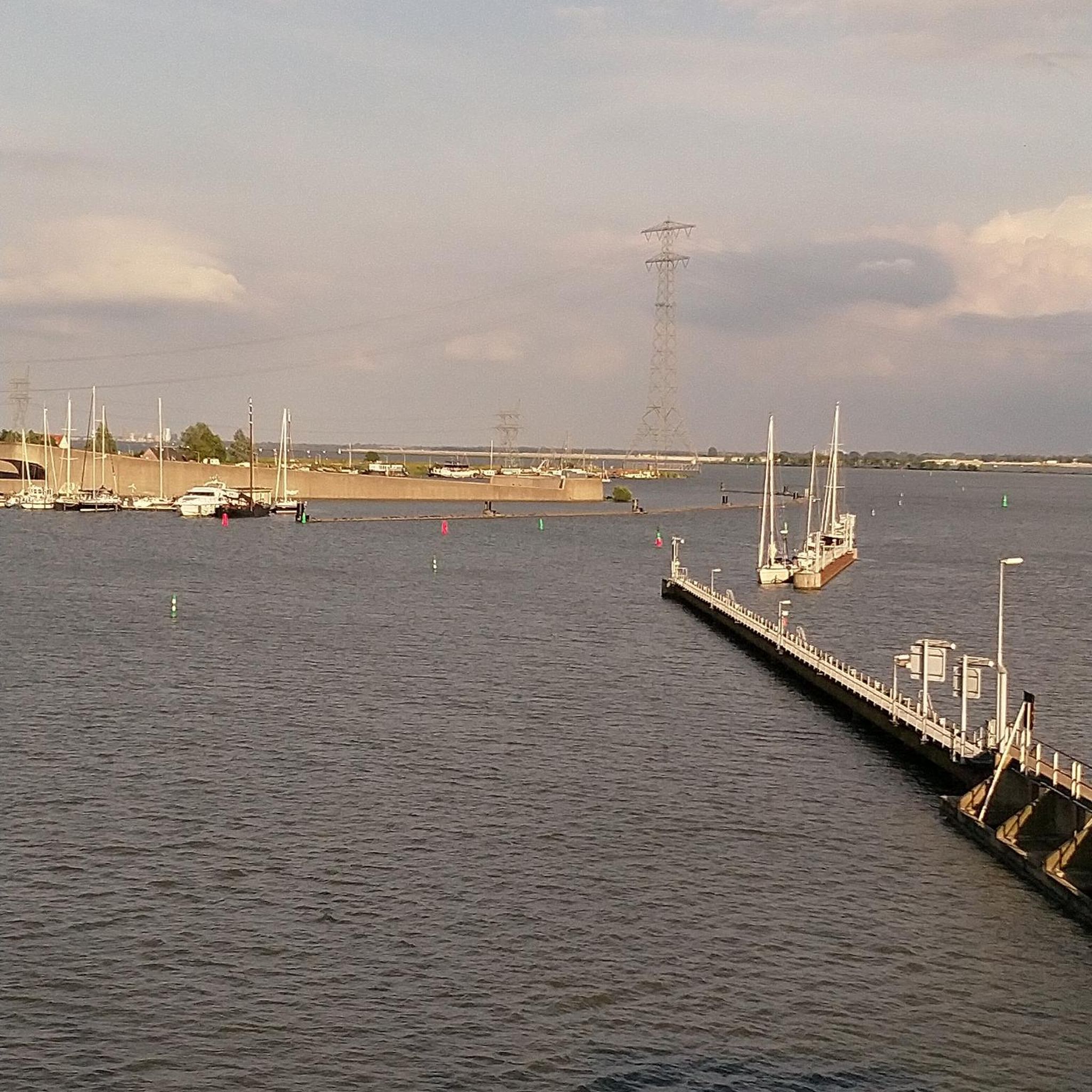
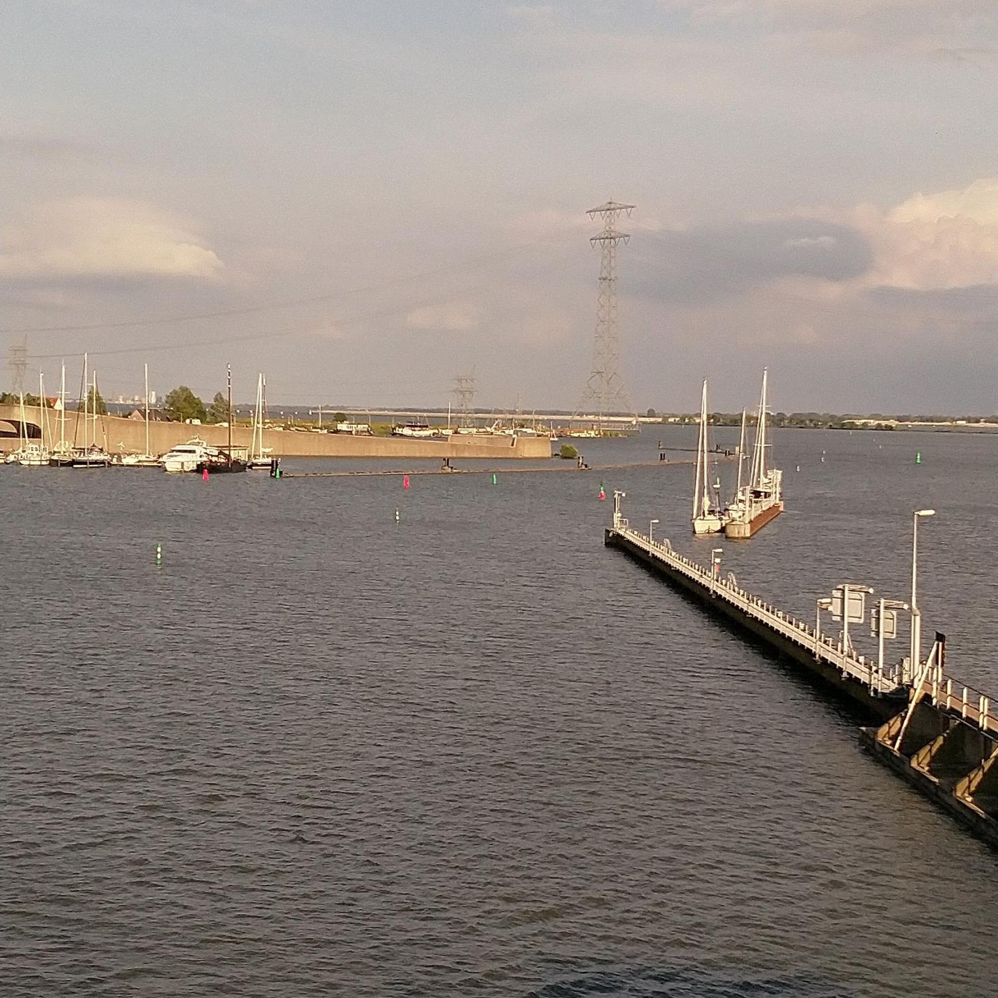
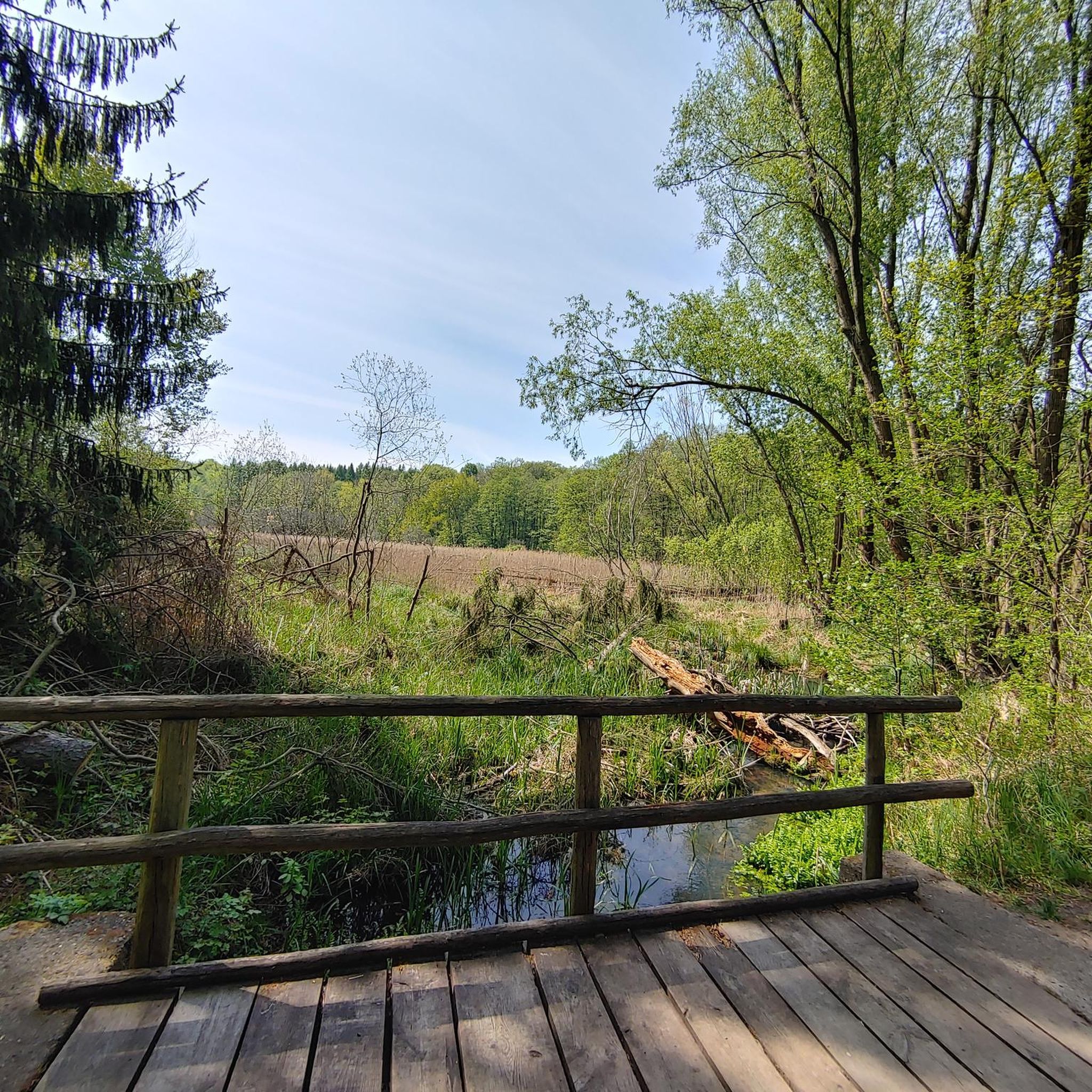
Tips from the Community

This meandering bicycle path glides on through from the station, you get a chance to catch a moment, get into your rhythm by the waters edge.
1
0

A pretty lake with a lovely path for cycling / walking around. The lake is also popular with anglers.
1
0
Frequently Asked Questions
How many hiking trails are available around Ballykeel?
There are over 15 hiking trails available around Ballykeel, ranging from easy strolls to more moderate walks. The area offers diverse landscapes, including parkland, riverside paths, and gentle elevations.
What kind of terrain can I expect on hikes around Ballykeel?
Hiking around Ballykeel features a mix of well-maintained paths through parkland, along rivers, and through forests. While there are no high peaks, you'll find gentle elevations and scenic water features. Some areas, like parts of Redburn Country Park, can have steep hills, requiring a reasonable level of fitness.
Are there easy hiking options suitable for beginners or casual walkers?
Yes, Ballykeel offers many easy hiking options. Out of the 16 available routes, 13 are classified as easy. An example is the Lurgan Park Lake – Pavilion in the Park loop from Lurgan, which is a pleasant 3.2-mile walk through parkland. The Pavilion in the Park – Lurgan Park Lake loop from Lurgan is another easy option, circling Lurgan Park Lake.
What do other hikers enjoy most about the trails in Ballykeel?
The trails in Ballykeel are highly rated by the komoot community, with an average score of 4.6 stars from over 10 reviews. Hikers often praise the well-maintained paths, the scenic parkland, and the accessible nature of the routes, making them enjoyable for various fitness levels.
Are there family-friendly hiking trails in Ballykeel?
Absolutely. Many areas around Ballykeel are ideal for families. Silent Valley and Ben Crom Reservoirs, just a short drive away, offer walks of varying difficulty, a café, and a play area. Kilbroney Forest Park is another popular spot, featuring the enchanting Narnia trail. Tollymore Forest Park is also a family favorite, known for its 'Game of Thrones' connections.
Can I bring my dog on the hiking trails in Ballykeel?
Many parks and trails in the Ballykeel region are dog-friendly, though specific rules may vary by location. Generally, dogs are welcome but should be kept on a lead, especially in nature reserves or areas with livestock. Always check local signage for specific regulations in individual parks like Hillsborough Forest Park or Redburn Country Park.
Are there any circular walking routes around Ballykeel?
Yes, Ballykeel offers several circular walking routes. The Dromore Castle loop from Dromore Cathedral of Christ the Redeemer is a 4.6-mile circular trail through historic Dromore. Another option is the Broad Water Cycle Path – Broad Water Riverside Path loop from Moira, which offers riverside views.
What interesting places or landmarks can I see while hiking near Ballykeel?
The Ballykeel area is rich in landmarks and natural features. You can explore historic sites like Hillsborough Castle or the Dromore Viaduct. Natural attractions include Craigavon Lakes and Lurgan Park Lake. Further afield, you can visit the dramatic Gobbins Cliff Path or the historic Carrickfergus Castle.
Are there any trails with good viewpoints in the Ballykeel area?
While the Ballykeel area is not known for high mountain peaks, many trails offer pleasant views, particularly along riverside paths or from elevated sections within parks. Redburn Country Park, situated on an escarpment above Belfast Lough, provides scenic vistas. The Blackhead Lighthouse loop also offers coastal views.
What is the best time of year to hike in Ballykeel?
The Ballykeel area is suitable for hiking year-round, but the best time is generally from spring to autumn (April to October) when the weather is milder and daylight hours are longer. During these months, the trails are typically dry and the natural scenery is at its most vibrant. Winter hiking is possible, but conditions can be wet and muddy, and some facilities might have reduced hours.
Are there cafes or pubs near the hiking trails in Ballykeel?
Yes, several hiking areas around Ballykeel have amenities nearby. Silent Valley and Ben Crom Reservoirs feature a café. Towns like Moira and Lurgan, which are starting points for some routes, offer various cafes, pubs, and restaurants. Kilbroney Forest Park also has facilities for visitors.
Is public transport available to access hiking trails in Ballykeel?
Public transport options to access hiking trails in Ballykeel vary. Major towns like Lurgan and Moira, which serve as starting points for some routes, are generally well-connected by bus or train. For more remote trails or forest parks, public transport might be limited, and driving may be the most convenient option. Always check local transport schedules for specific routes.
Most popular attractions around Ballykeel

Get inspired with the komoot mobile app


Explore more
Browse the best Hikes in other regions.
