The best MTB trails around Marthall
4.4
(6)
143
riders
24
rides
Mountain bike trails around Marthall offer access to a diverse range of cycling opportunities within the wider Cheshire East region. The immediate area features gently rolling agricultural plains, wetlands, mosses, and numerous woodlands, providing a tranquil setting for cycling. While dedicated technical trails are not directly within Marthall, its location serves as a gateway to more rugged terrains. Riders can explore areas like Macclesfield Forest, Lyme Park, and Tegg's Nose Country Park, which offer varied mountain biking experiences.
Best mountain…
Last updated: June 26, 2026
5.0
(1)
4
riders
10.4km
00:40
70m
60m
This easy 6.4-mile mountain bike loop in Styal Country Park offers views of Manchester Airport runways and takes about 40 minutes.
6
riders
58.8km
04:00
970m
970m
Hard mountain bike ride. Very good fitness required. Suitable for all skill levels.

Sign up for free
4
riders
Moderate mountain bike ride. Good fitness required. Suitable for all skill levels.
2
riders
44.8km
02:26
170m
170m
Moderate mountain bike ride. Good fitness required. Suitable for all skill levels.
3
riders
51.0km
02:40
200m
200m
Moderate mountain bike ride. Good fitness required. Suitable for all skill levels.
Get access to more routes and recommendations from other explorers.
Sign up for free
Already have an account?
Our route recommendations are based on thousands of hikes, rides, and runs completed by other people on komoot.
Start today with a free account
Your next adventure awaits.
Login or Signup
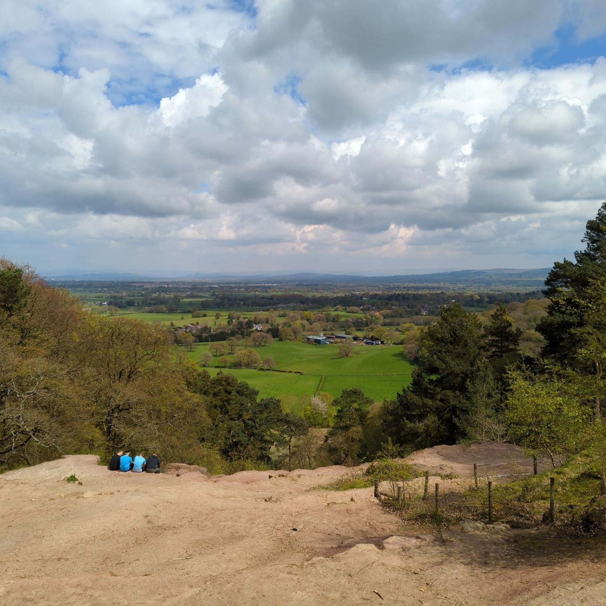
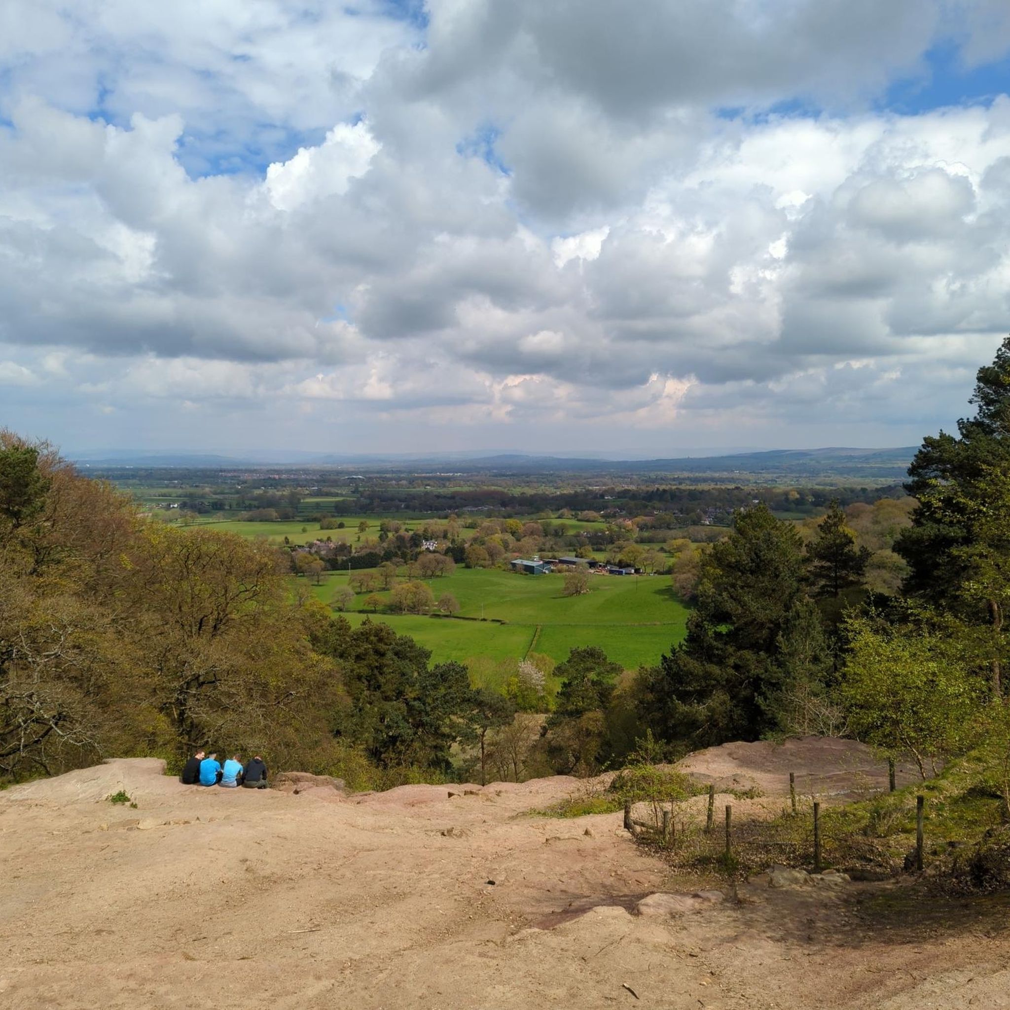
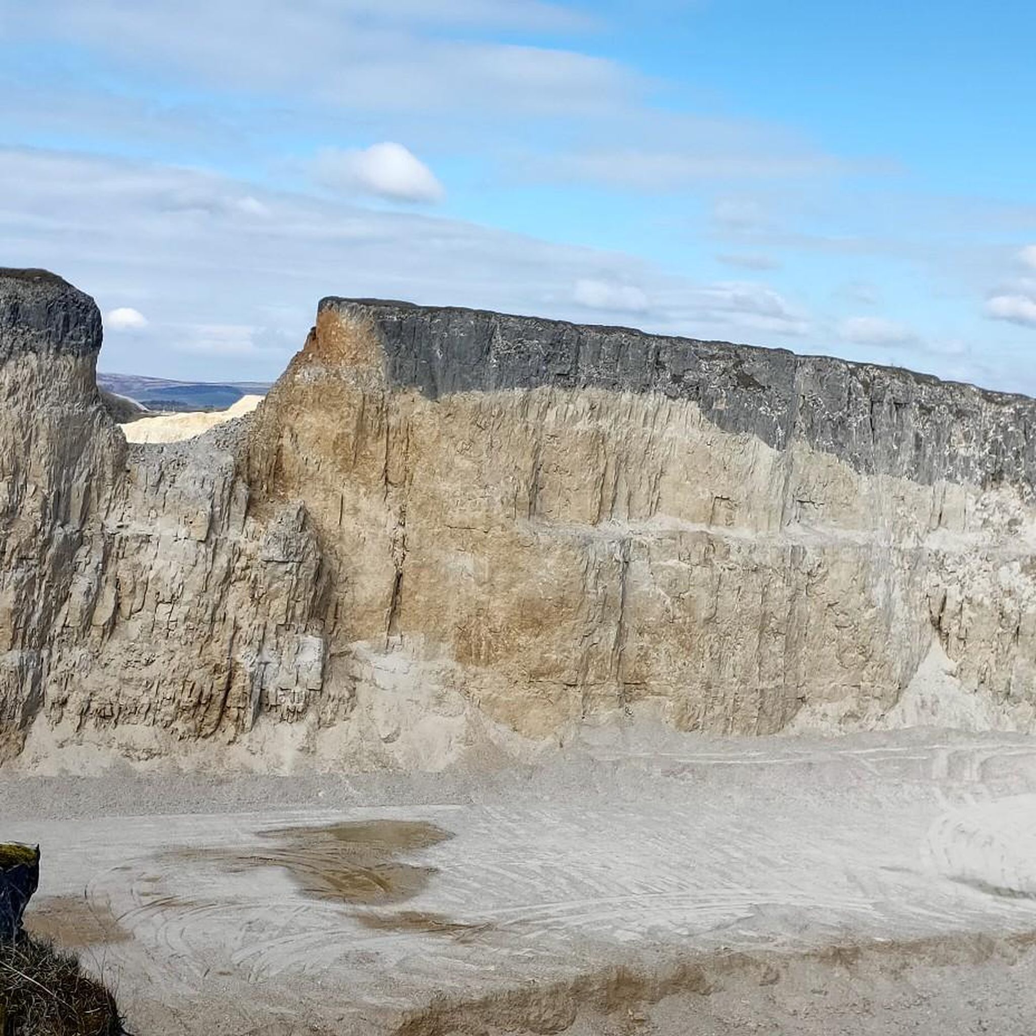

Tips from the Community

James the Greater (the Latin 'major' is not translated as 'great' in English), to whom this church in Gawsworth was dedicated, was, together with his brother, part of the inner circle of Jesus' disciples. In his version of the "Good News" (this is the meaning of the word "gospel"), the Evangelist Mark enumerates a list of the apostles: "James, the son of Zebedee, and John, the brother of James—them he surnamed Boanerges, which means Sons of Thunder" (Mark 3:17). They were said to have had strong tempers, but were faithful followers of Jesus Christ, in whom they recognized the promised Messiah. According to the Acts of the Apostles, James was executed for his faith. His tomb in Santiago de Compostela, Galicia (Spain), is one of the most famous and important pilgrimage destinations in the world.
0
0


Great place to stop for a bit of food or just a coffee. Bike racks and tables inside and out. Today I had a very tasty beetroot and goats cheese tatin with some great wedges and garlic mayo.
0
0

What a great looking village, so quaint.
0
0


lovely little place that seems like stepping back 150yrs
0
0

What a lovely gem of a cafe! Volunteer staff made me feel so welcome. The cappuccino and toasted tea cake were delicious. Bought Snickers for my onward journey too. Warm and cosy too on a very cold Feb morning. Take Apple Pay and have a loo. Bike racks.
1
0
Frequently Asked Questions
How many mountain bike trails are available around Marthall?
There are over 25 mountain bike trails in the Marthall area, catering to various skill levels. This includes 10 easy routes, 12 moderate routes, and 3 difficult routes, ensuring options for everyone from beginners to experienced riders.
What kind of terrain can I expect on mountain bike trails near Marthall?
The immediate area around Marthall features gently rolling agricultural plains, wetlands, mosses, and woodlands, offering a tranquil setting for leisurely rides. For more rugged and technical terrain, you can explore nearby areas like Macclesfield Forest, Lyme Park, and Tegg's Nose Country Park, which provide challenging sections, varied surfaces, and significant elevation changes.
Are there any family-friendly mountain bike trails in the Marthall area?
Yes, the Marthall area offers several family-friendly options. The gently rolling agricultural plains and woodlands are suitable for easier rides. For a dedicated traffic-free experience, the Middlewood Way, a 10-mile route following a former railway line, is an excellent choice for families. Tatton Park also provides miles of popular cycling trails suitable for all ages.
Can I bring my dog on the mountain bike trails near Marthall?
Many trails in the wider Cheshire East region are dog-friendly, but regulations can vary by specific location, especially in country parks or nature reserves. It's always best to check the local rules for areas like Macclesfield Forest, Lyme Park, or Tegg's Nose Country Park before you go. Generally, dogs should be kept under control, often on a lead, to protect wildlife and ensure safety for other trail users.
Where can I find more challenging mountain bike trails near Marthall?
For more challenging mountain biking, head to areas like Macclesfield Forest, Lyme Park, or Tegg's Nose Country Park. These locations offer routes with significant elevation gain, technical sections, and rugged paths. For example, the Kickback Coffee Roastery – Windgather Rocks loop from Wilmslow is a difficult 36.5-mile route with substantial climbing, leading towards Windgather Rocks.
Are there mountain bike trails that offer scenic views or natural landmarks?
Absolutely. The region boasts numerous scenic spots. Tegg's Nose Country Park offers breathtaking views over the Peak District. You can also find natural features like Tatton Mere, Lindow Common, and the Pareni Tree (Giant Sequoia) at Quarry Bank Mill. The St. Bartholomew's Church – St James' Church, Gawsworth loop from Wilmslow also passes by the historic St James' Church, Gawsworth.
What are the options for parking and public transport when accessing mountain bike trails?
Parking is generally available at popular mountain biking destinations like Macclesfield Forest, Lyme Park, Tegg's Nose Country Park, and Delamere Forest. For public transport, Marthall's proximity to towns like Wilmslow and Knutsford, which have train stations, can provide access points to the wider cycling network. However, direct public transport to specific trailheads might require local bus services or a short ride from a station.
What is the best time of year for mountain biking around Marthall?
Spring and autumn are often ideal for mountain biking around Marthall, offering pleasant temperatures and beautiful scenery as the woodlands change. Summer can also be great, but trails might be busier. Winter conditions can make some trails muddy or slippery, especially in the more rugged areas, so appropriate gear and caution are advised.
Are there any circular mountain bike routes available?
Yes, many of the mountain bike routes in the area are designed as loops. For instance, the Heritage Loop is a popular easy circular route exploring the local rural landscape. Other examples include the Great Budworth Village – Arley Hall and Gardens loop from Knutsford and the challenging Kickback Coffee Roastery – Windgather Rocks loop from Wilmslow.
Where can I find refreshments or accommodation near the mountain biking areas?
Towns and villages surrounding the main mountain biking areas like Macclesfield Forest, Lyme Park, and Tegg's Nose offer various cafes, pubs, and accommodation options. Near Marthall, you can find places like The Wizard Tea Room. Larger towns like Wilmslow, Knutsford, and Macclesfield provide a wider selection of amenities for pre- or post-ride refreshments and overnight stays.
What do other mountain bikers say about the trails around Marthall?
The mountain bike routes around Marthall are highly rated by the komoot community, with an average score of 4.4 stars from more than 5 reviews. Riders often praise the diverse terrain, from tranquil agricultural plains to challenging routes near the Peak District, and the well-maintained paths that offer a variety of experiences for different skill levels.
Are there any specific rules or permits required for mountain biking in certain areas?
While general access is common, some specific areas, particularly within country parks or private estates like Lyme Park or Tatton Park, may have their own rules regarding trail usage, opening times, or even require permits for certain activities. It's always advisable to check the official websites or local signage for any specific regulations before you ride.
Can I find unpaved or off-road cycling routes near Marthall?
Yes, the Marthall area and wider Cheshire East region offer numerous unpaved and off-road cycling opportunities. The immediate surroundings of Marthall feature quiet country lanes and bridleways through woodlands and agricultural land. For more extensive off-road experiences, destinations like Macclesfield Forest, Tegg's Nose Country Park, and Delamere Forest are known for their networks of unpaved trails, singletrack, and forest roads.
Most popular routes around Marthall
Most popular attractions around Marthall

Get inspired with the komoot mobile app


Explore more
Browse the best MTB trails in other regions.
