The best mountain hikes around Wehrheim
4.8
(10)
49
hikers
25
hikes
Mountaineering routes around Wehrheim are situated within the Hochtaunus Nature Park, offering challenging ascents in the Taunus low mountain range. The region is characterized by extensive deciduous forests and significant peaks like the Großer Feldberg, the highest point in the Taunus. These routes often involve varied terrain, providing rewarding experiences for those seeking mountain-related activities.
Best mountaineering routes around Wehrheim
- The most popular mountaineering route is Altkönig Summit Sign – Emminghaus Hut loop from Waldwiesenbachtal von Oberhöchstadt, a 9.4…
Last updated: July 2, 2026
4.7
(3)
8
hikers
17.5km
05:34
700m
700m
Hard mountaineering route. Very good fitness required. Mostly accessible paths. Sure-footedness required.
Moderate mountaineering route. Good fitness required. Mostly accessible paths. Sure-footedness required.

Sign up for free
5.0
(2)
3
hikers
Moderate mountaineering route. Good fitness required. Mostly accessible paths. Sure-footedness required.
6
hikers
Moderate mountaineering route. Good fitness required. Mostly accessible paths. Sure-footedness required.
2
hikers
21.2km
06:26
690m
690m
Hard mountaineering route. Very good fitness required. Mostly accessible paths. Sure-footedness required.
Get access to more routes and recommendations from other explorers.
Sign up for free
Already have an account?
Our route recommendations are based on thousands of hikes, rides, and runs completed by other people on komoot.
Start today with a free account
Your next adventure awaits.
Login or Signup
Popular around Wehrheim
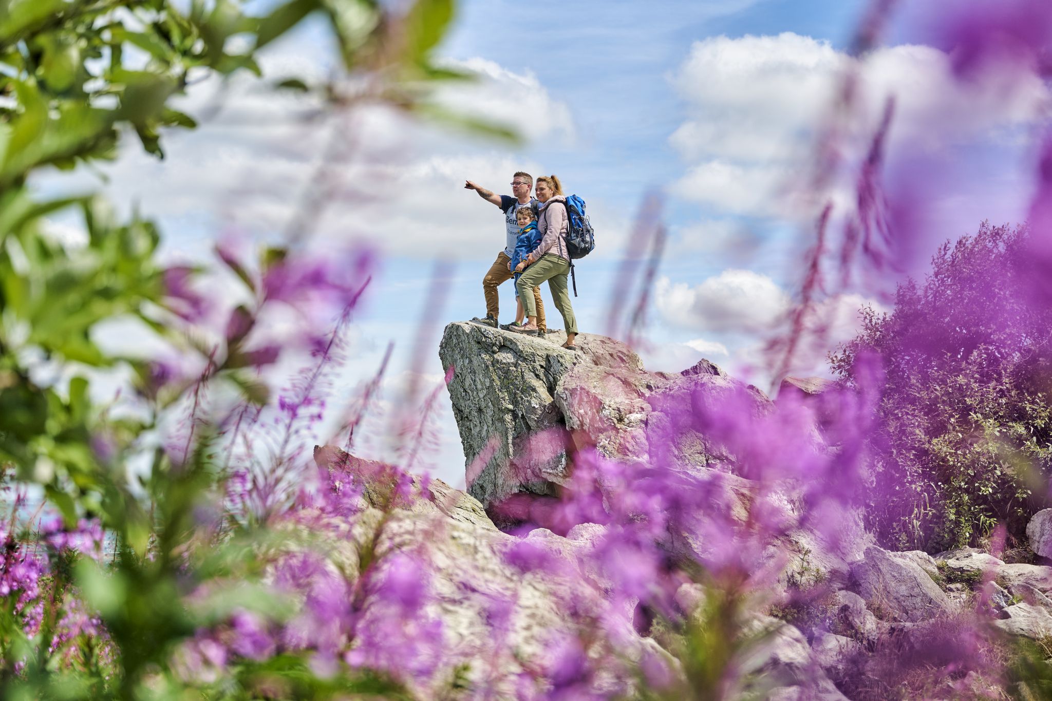
History, forest and gnomes – hiking in Germany’s Hochtaunus region
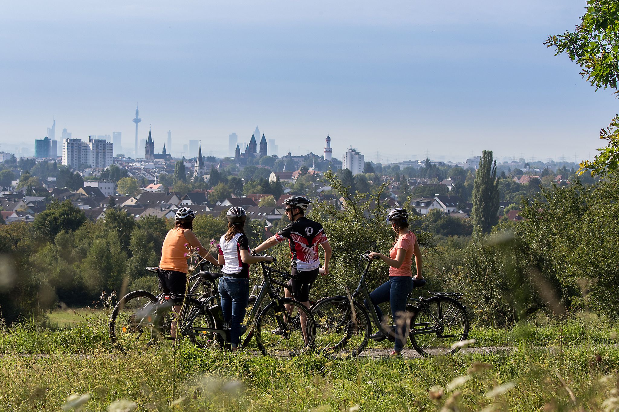
From safari to world heritage — cycling tours in the Taunus region
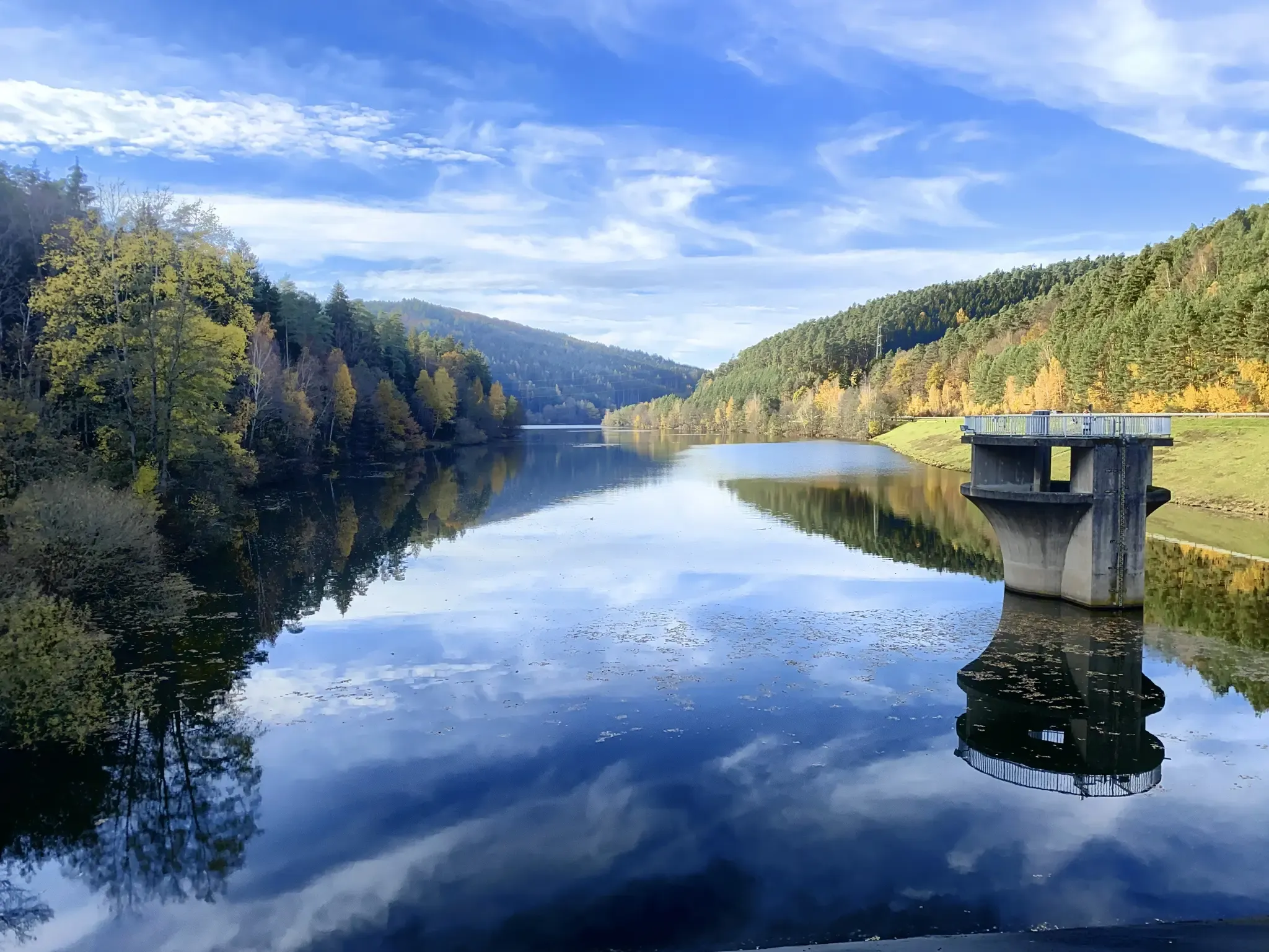
Mit Rosbacher auf Tour im Rhein-Main-Gebiet
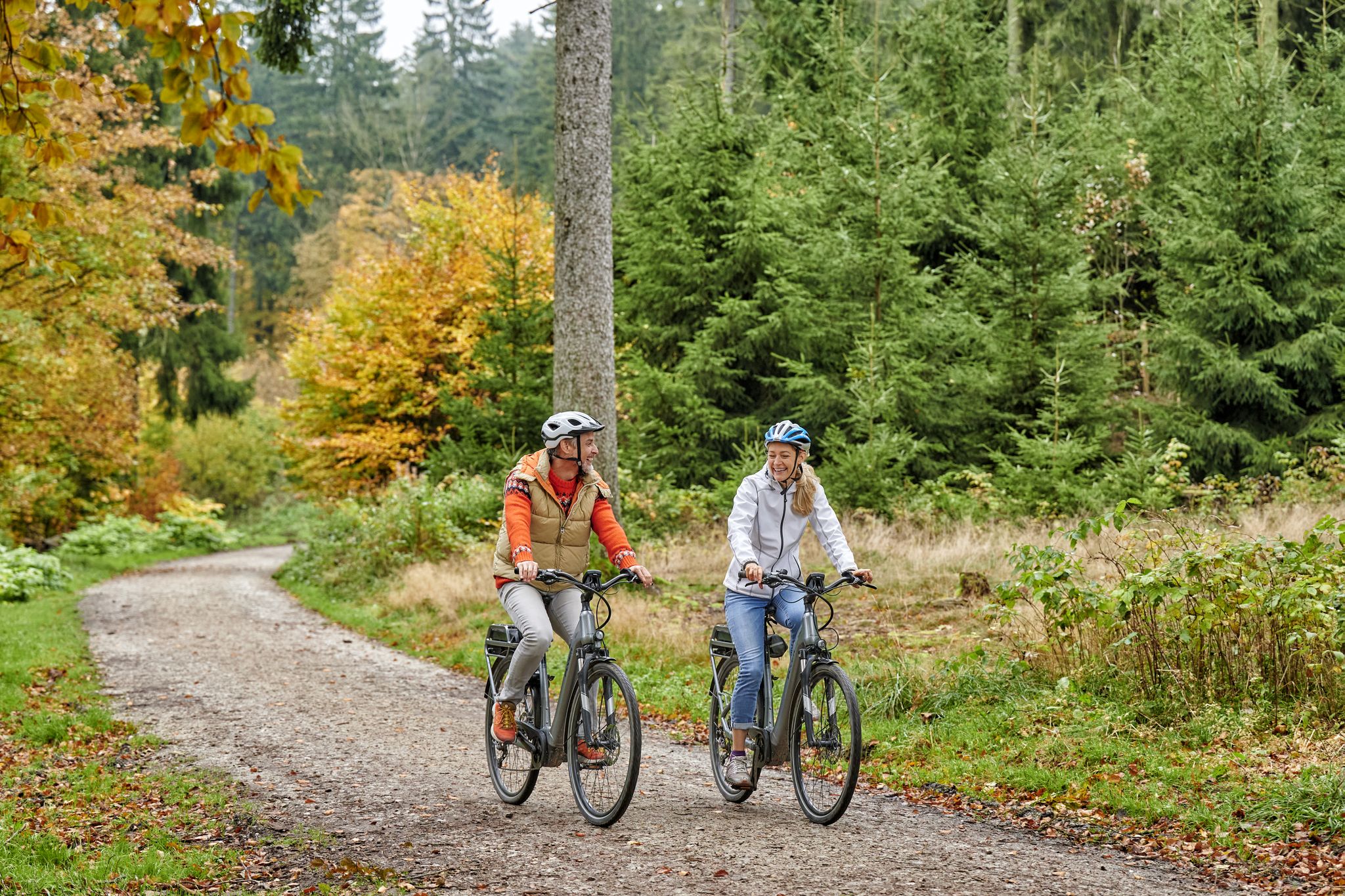
Radfahren im Taunus – Auspowern, genießen, entdecken
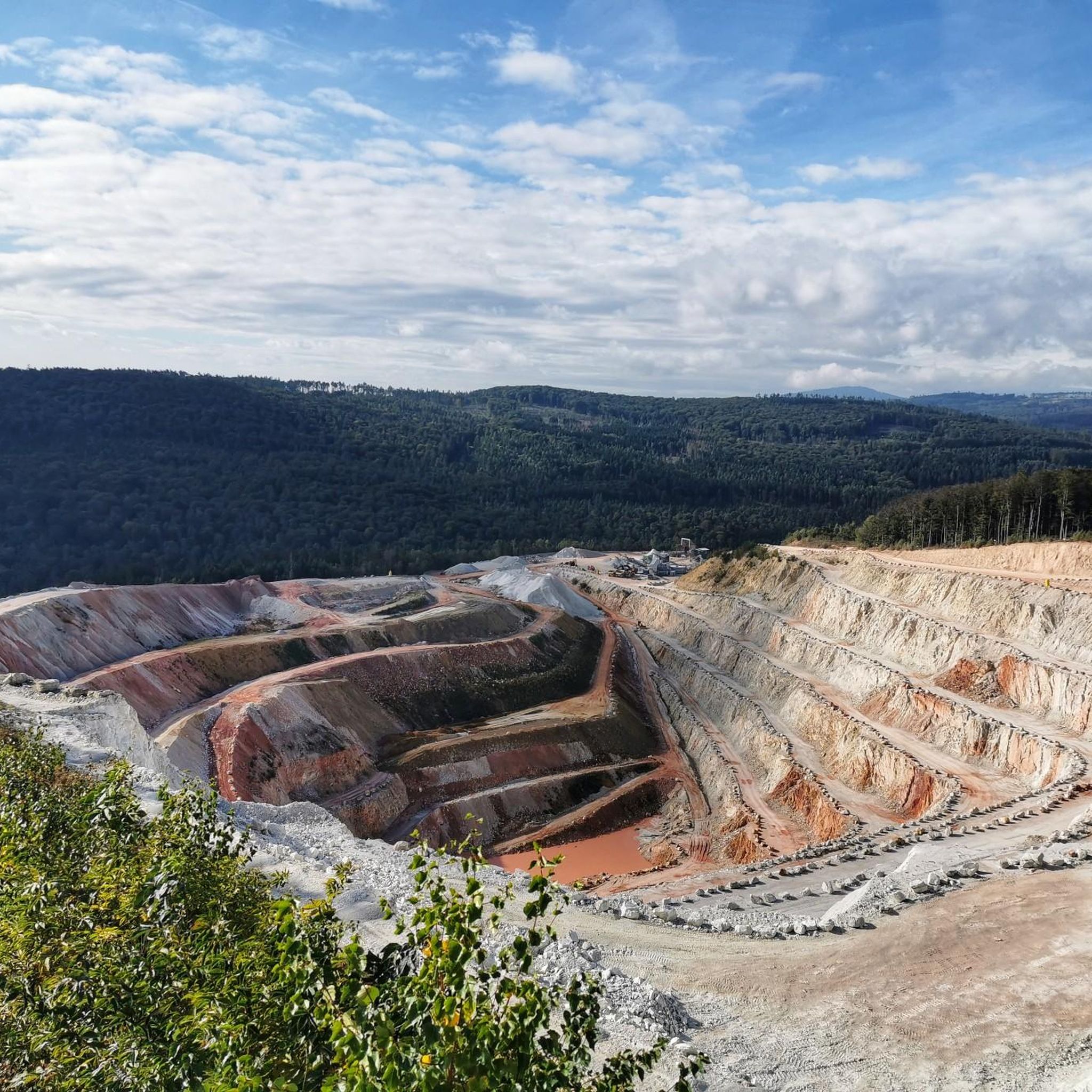
Hiking around Wehrheim
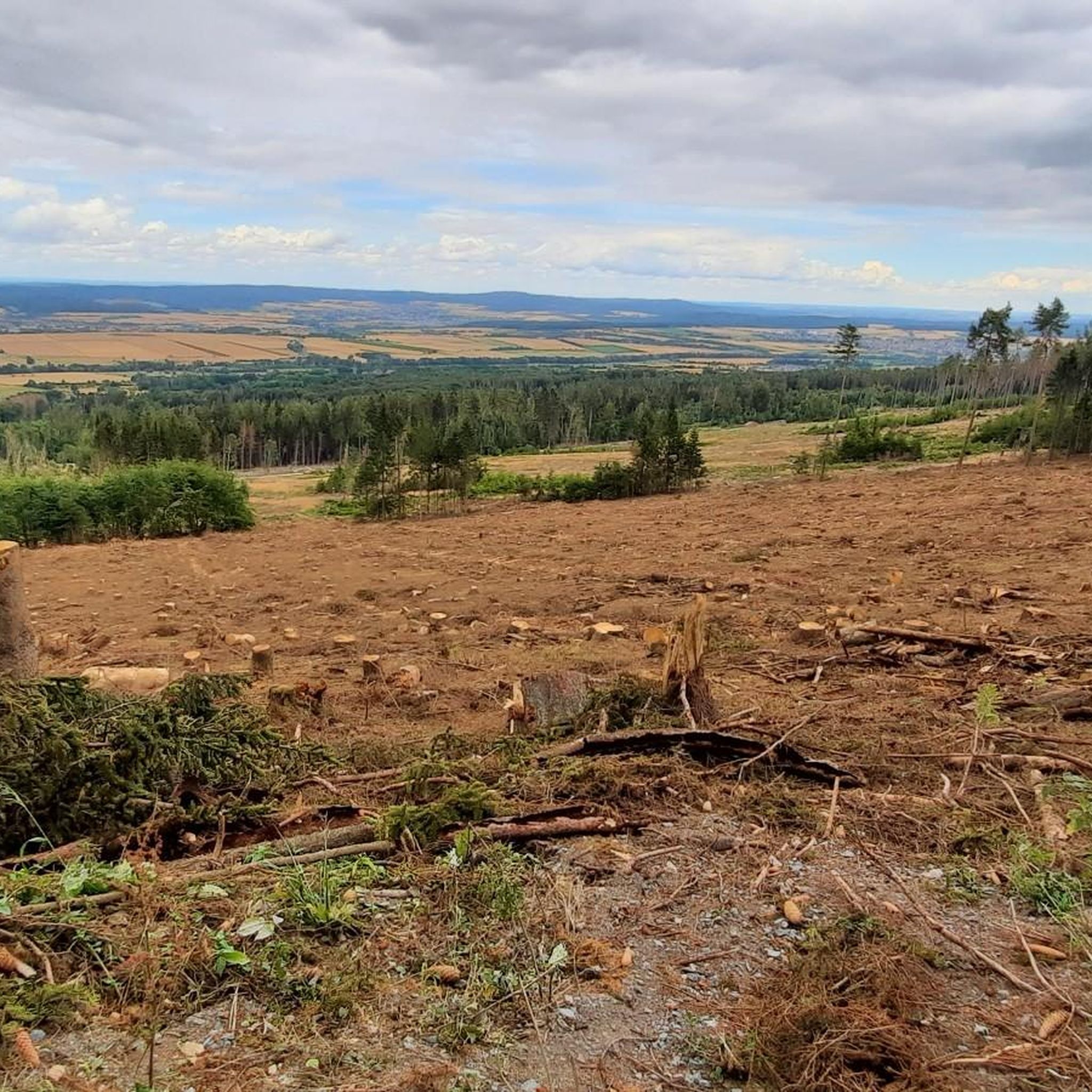
Road Cycling Routes around Wehrheim
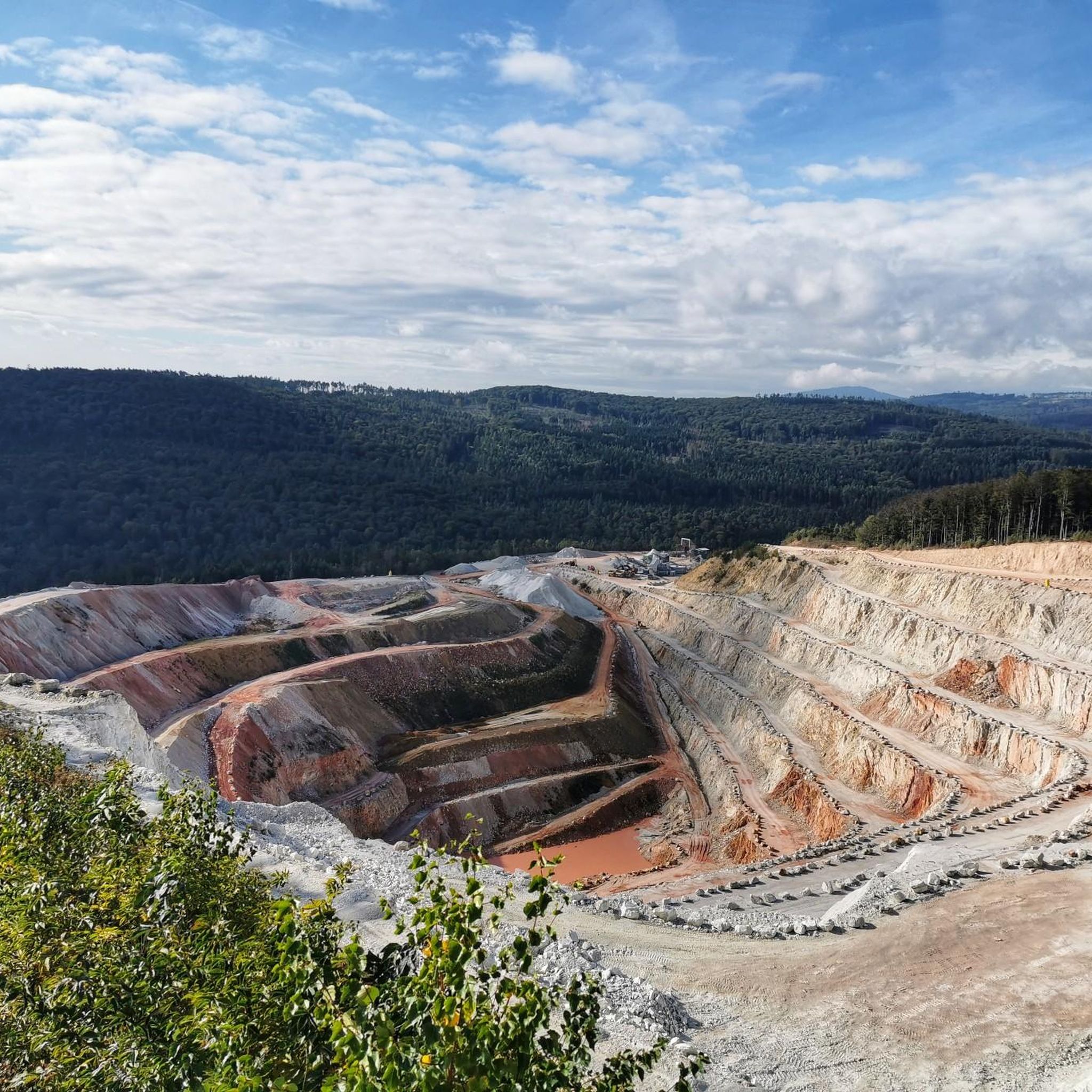
Cycling around Wehrheim
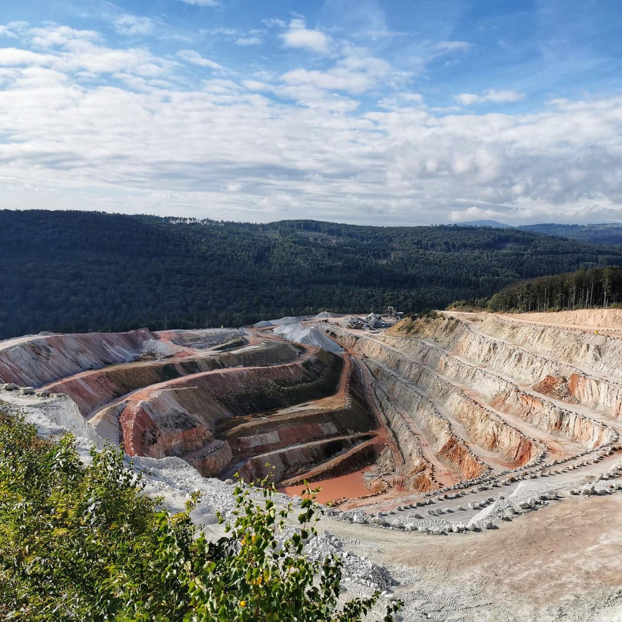
MTB Trails around Wehrheim
Running Trails around Wehrheim

Gravel biking around Wehrheim
Other adventures around Wehrheim


Tips from the Community

Nice little break spot. Many illegal fire pits
0
0

Today I saw the new summit cross. ⛰️
1
0

The White Wall in the Taunus Mountains is a quartzite field formed during the Ice Age on the Altkönig mountain by frost weathering. It lies at a maximum elevation of 634 meters above sea level [1] near Oberursel in the Hochtaunus district of Hesse. The area is designated as a nature reserve 🤩
14
0
There is a beautiful old ski lift here
1
0
Lots of rubble but worth seeing.
1
0

Simply wonderful and delicious climb 😜
1
0
Sneakers not recommended, surefootedness and stability are required here 🤗
1
1
Frequently Asked Questions
How many mountaineering routes are available around Wehrheim?
There are over 25 mountaineering routes around Wehrheim, offering a variety of experiences within the Hochtaunus Nature Park. These routes range from easy to difficult, ensuring options for different skill levels.
Are there any easy mountaineering routes suitable for beginners?
Yes, while many routes are moderate, there is at least one easy mountaineering route available. These trails typically feature less elevation gain and gentler terrain, making them suitable for those new to mountaineering or looking for a more relaxed experience.
What are the most challenging mountaineering routes near Wehrheim?
For experienced mountaineers seeking a challenge, there are 5 difficult routes. One notable option is the Anita's Fuchstanz – Großer Feldberg Summit loop from Hohemark, which covers over 21 kilometers and features significant elevation gain, leading to the highest peak in the Taunus.
Are there any circular mountaineering routes in the Wehrheim area?
Yes, many of the mountaineering routes around Wehrheim are circular, allowing you to start and end at the same point. For example, the Altkönig Summit Sign – Emminghaus Hut loop from Waldwiesenbachtal von Oberhöchstadt is a popular circular trail that takes you through forested landscapes.
What kind of natural features or landmarks can I expect to see on these routes?
The routes often lead to significant natural features and historical landmarks. You can expect to encounter the Großer Feldberg Summit, the highest point in the Taunus, and the Brunhildis Rock on its northern edge, offering extensive views. The region also features extensive deciduous forests and historical sites along the Upper Germanic-Rhaetian Limes.
Are there any routes that offer panoramic views?
Absolutely. The ascent to the Großer Feldberg provides extensive views, particularly from the Brunhildis rock. Another route, the Altkönig Summit – Rocky Trail on Altkönig loop from Großer Feldberg, leads to the Altkönig summit, which is known for its stunning panoramic vistas.
What do other mountaineers say about the routes in Wehrheim?
The mountaineering routes in Wehrheim are highly regarded by the komoot community, with an average rating of 4.9 out of 5 stars from over 8 reviews. Users frequently praise the challenging ascents, varied terrain, and the beautiful forested landscapes of the Hochtaunus Nature Park.
Are there any historical sites along the mountaineering trails?
Yes, the region is rich in history. Wehrheim is located along the Upper Germanic-Rhaetian Limes, a former Roman Empire border. You can explore sites like the Kleiner Feldberg Roman Fort, which is part of a loop leading to the Großer Feldberg Summit.
Are there places to eat or rest along the mountaineering routes?
Yes, popular summits like the Großer Feldberg often have amenities such as restaurants and kiosks. You can also find places like Anita's Fuchstanz or Fuchstanz: The Forest Inn, which are popular stops for hikers and mountaineers.
What is the best time of year for mountaineering around Wehrheim?
The Taunus region offers a pleasant climate for outdoor activities. While specific conditions vary, spring, summer, and autumn generally provide ideal weather for exploring the extensive deciduous forests and challenging ascents. Winter mountaineering is also possible but may require more specialized gear and experience due to potential snow or ice.
Are the mountaineering routes around Wehrheim suitable for families?
While many routes involve challenging ascents, there are options suitable for families, particularly those with some hiking experience. Look for routes described as 'easy' or 'moderate' with shorter distances and less elevation gain. The varied terrain and natural attractions can make for an engaging family outing.
Can I bring my dog on the mountaineering routes?
Generally, dogs are welcome on trails in the Hochtaunus Nature Park, but it's always advisable to keep them on a leash, especially in forested areas or near wildlife. Ensure your dog is fit enough for the chosen route's difficulty and duration, and always carry water for them.
Where can I park when accessing mountaineering routes near Wehrheim?
Many trailheads and popular starting points for mountaineering routes around Wehrheim offer designated parking areas. Specific parking information is often available on individual route descriptions on komoot, or near major access points like those leading to Großer Feldberg or Altkönig.
Most popular routes around Wehrheim
Most popular attractions around Wehrheim

Get inspired with the komoot mobile app


Explore more
Browse the best Mountain Hikes & Routes in other regions.
